Elevation of Deer Path Rd, Suffolk, VA, USA
Location: United States > Virginia > Suffolk >
Longitude: -76.730351
Latitude: 36.7251418
Elevation: 22m / 72feet
Barometric Pressure: 101KPa
Elevation Map:
Satellite Map:
Related Photos:

View from a lawnmower. #storm #clouds

Ballard's Insurance & Feeds

What a view

The House by the Tracks

Burger King interior

A view of the lake at Davis Lakes Resort. Suffolk,VA

Pandemic Pilgrimage

Boats Ashore

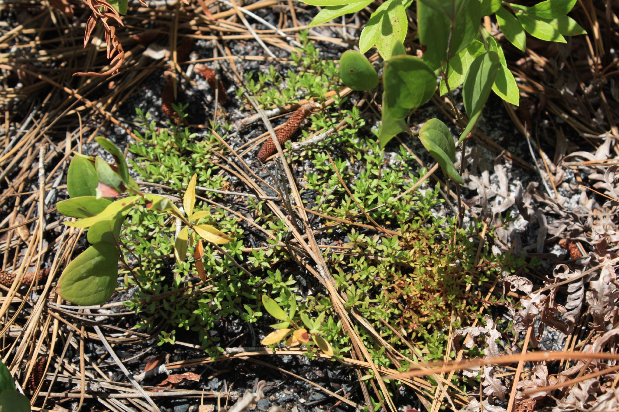
Zuni Pine Barrens

I took a long time to find heaven!
Pyxidanthera barbulata

Lonely Road

Portsmouth River Walk

Zuni Pine Barrens

Calopogon pallidus?

Portsmouth River Walk

Carphephorus bellidifolius

Zuni Pine Barrens

Blackwater River

Carphephorus bellidifolius

Zuni Pine Barrens
Zuni Pine Barrens

Portsmouth River Walk

2014-07-12 09.47.04 012 snack-lunch spot
Topographic Map of Deer Path Rd, Suffolk, VA, USA
Find elevation by address:

Places near Deer Path Rd, Suffolk, VA, USA:
140 Raleigh Dr
850 Dutch Rd
Quaker Drive
206 Sumner Ave
756 Manning Rd
Old Carrsville Rd, Carrsville, VA, USA
Carrsville
7626 S Quay Rd
Elwood Rd, Suffolk, VA, USA
3889 Whaleyville Blvd
7795 Quaker Dr
5538 Mineral Spring Rd
Jenkins Mill Road
5062 Mineral Spring Rd
5000 Mineral Spring Rd
133 Spivey Farm Ln
228 Great Fork Rd
Carver Rd, Franklin, VA, USA
N Main St, Franklin, VA, USA
Franklin
Recent Searches:
- Elevation of Corso Fratelli Cairoli, 35, Macerata MC, Italy
- Elevation of Tallevast Rd, Sarasota, FL, USA
- Elevation of 4th St E, Sonoma, CA, USA
- Elevation of Black Hollow Rd, Pennsdale, PA, USA
- Elevation of Oakland Ave, Williamsport, PA, USA
- Elevation of Pedrógão Grande, Portugal
- Elevation of Klee Dr, Martinsburg, WV, USA
- Elevation of Via Roma, Pieranica CR, Italy
- Elevation of Tavkvetili Mountain, Georgia
- Elevation of Hartfords Bluff Cir, Mt Pleasant, SC, USA