Elevation of Millers Creek Road, Millers Creek Rd, Max Meadows, VA, USA
Location: United States > Virginia > Wythe County > Fort Chiswell > Max Meadows >
Longitude: -80.951025
Latitude: 36.9894309
Elevation: 634m / 2080feet
Barometric Pressure: 0KPa
Related Photos:
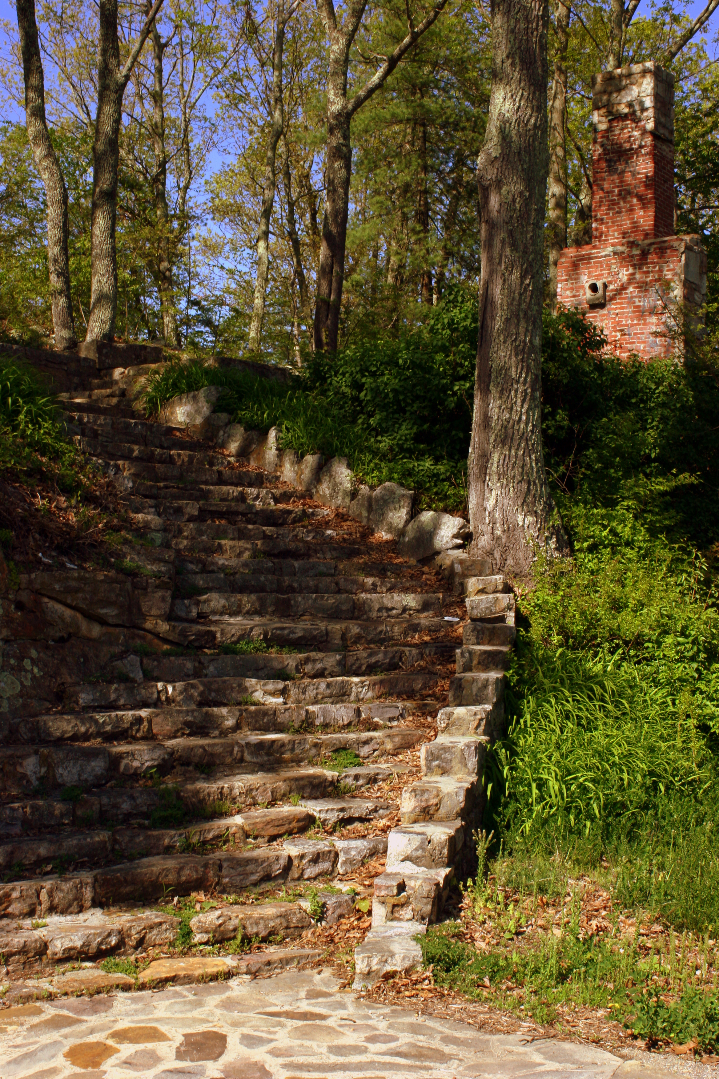
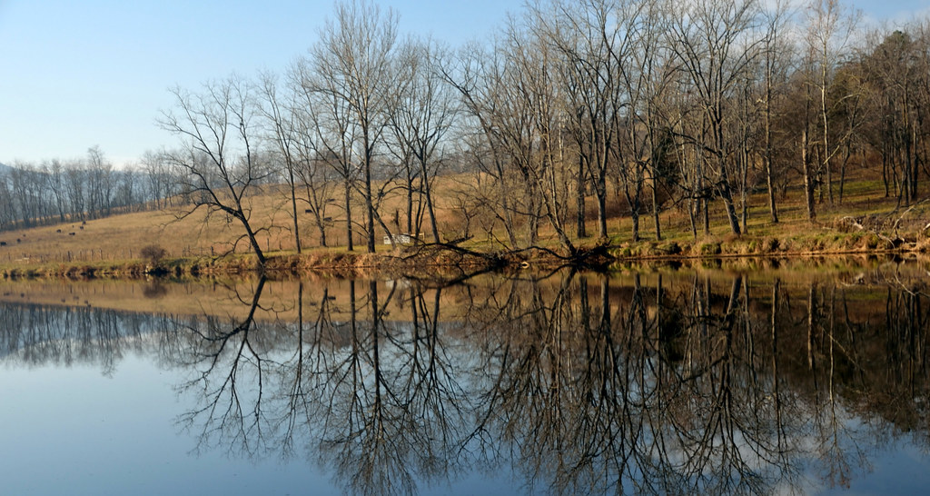
Steps to Nowhere - Draper Mountain, VA
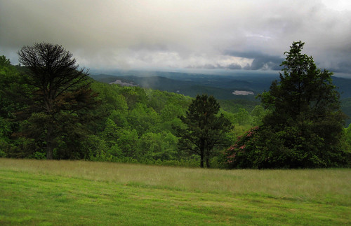
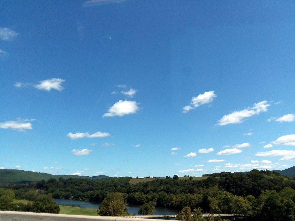
Blue Ridge Parkway View
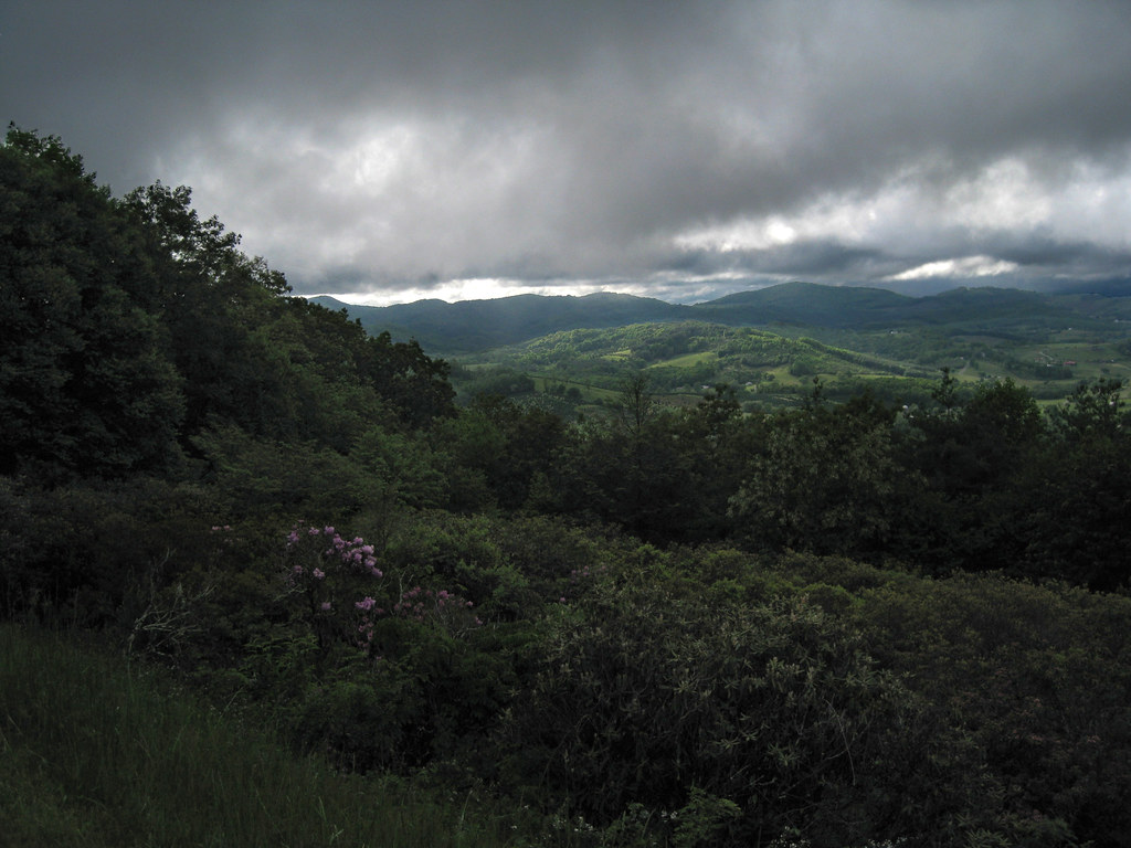
Blue Ridge Parkway View
#travel #wanderlust #trip #vacation #travelgram #holiday #instatravel #beautiful #travelling #instagood #vsco #photooftheday #tourism #usa #picoftheday #travelphotography #roadtrip #vscocam #view #traveling #summer #road #explore #driving #ontheroad #amer
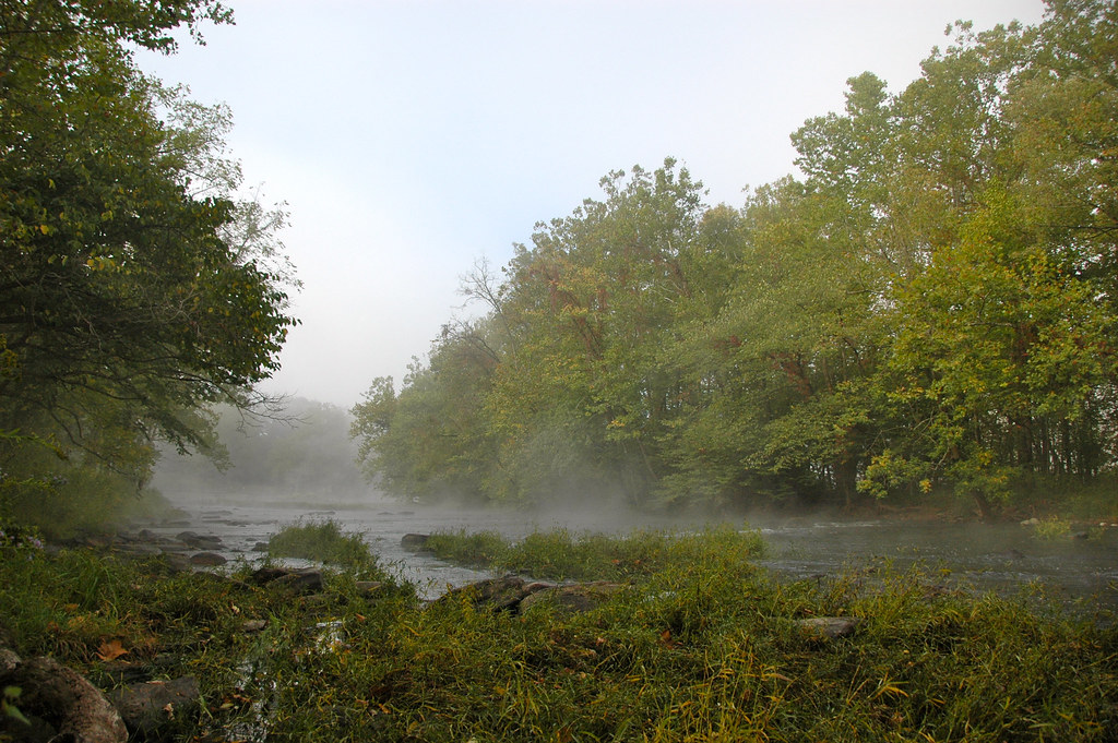
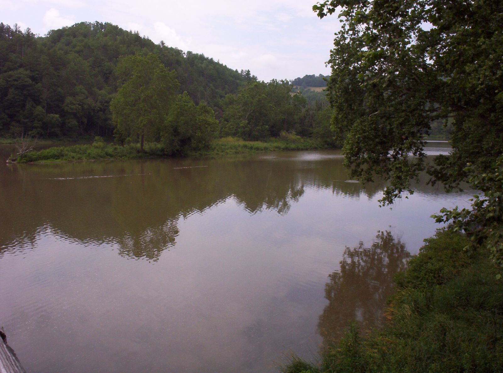
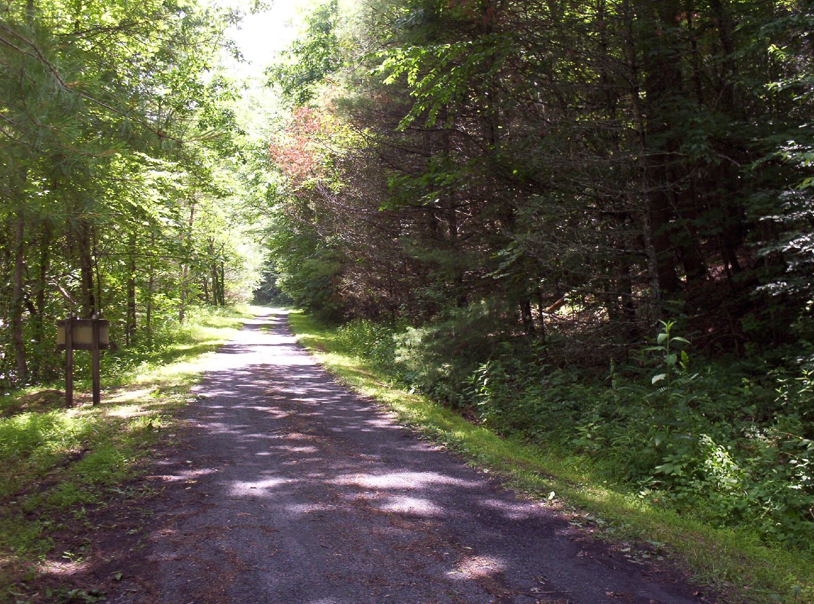
New River Rail/Trail

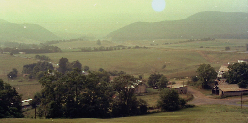
View from the parking lot

"Key Ingredients" restaurant, Max Meadows, VA
Shot Tower Historical State Park, Wythe County (Va.), 4 August 1978
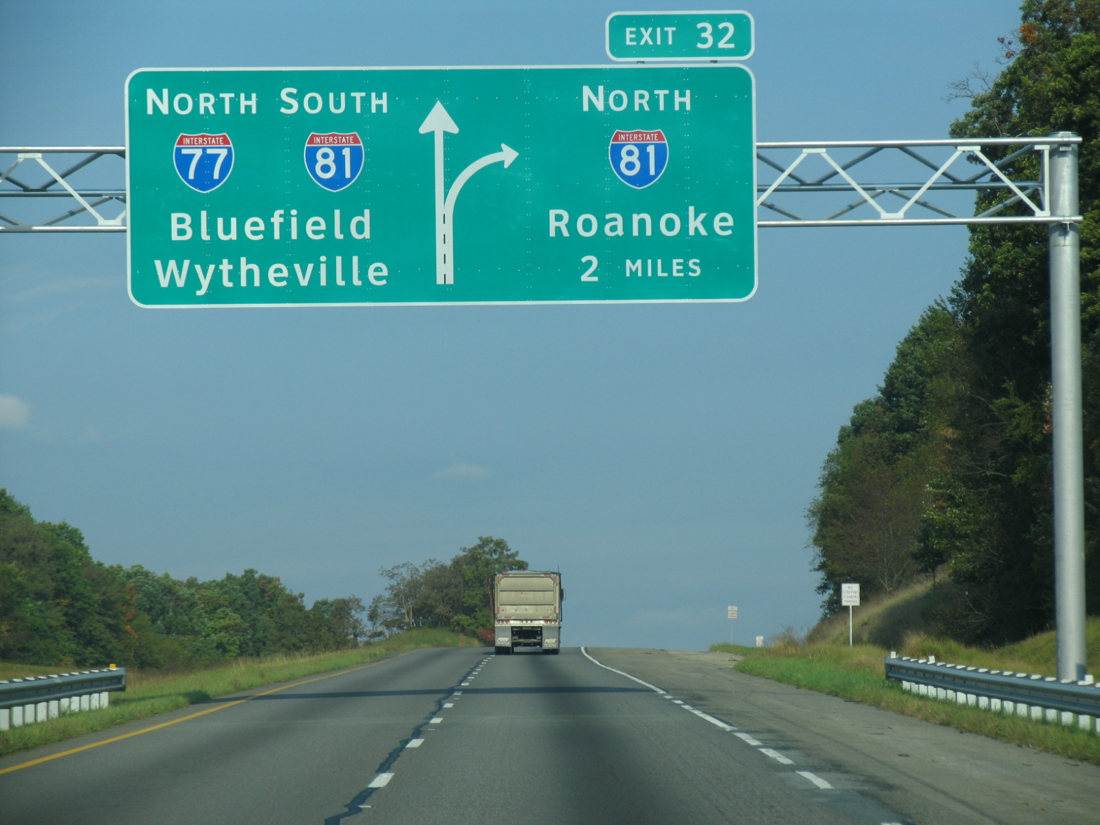
I-77 North Virginia - Exit 32

Thanks so much for all the views and subscribers!

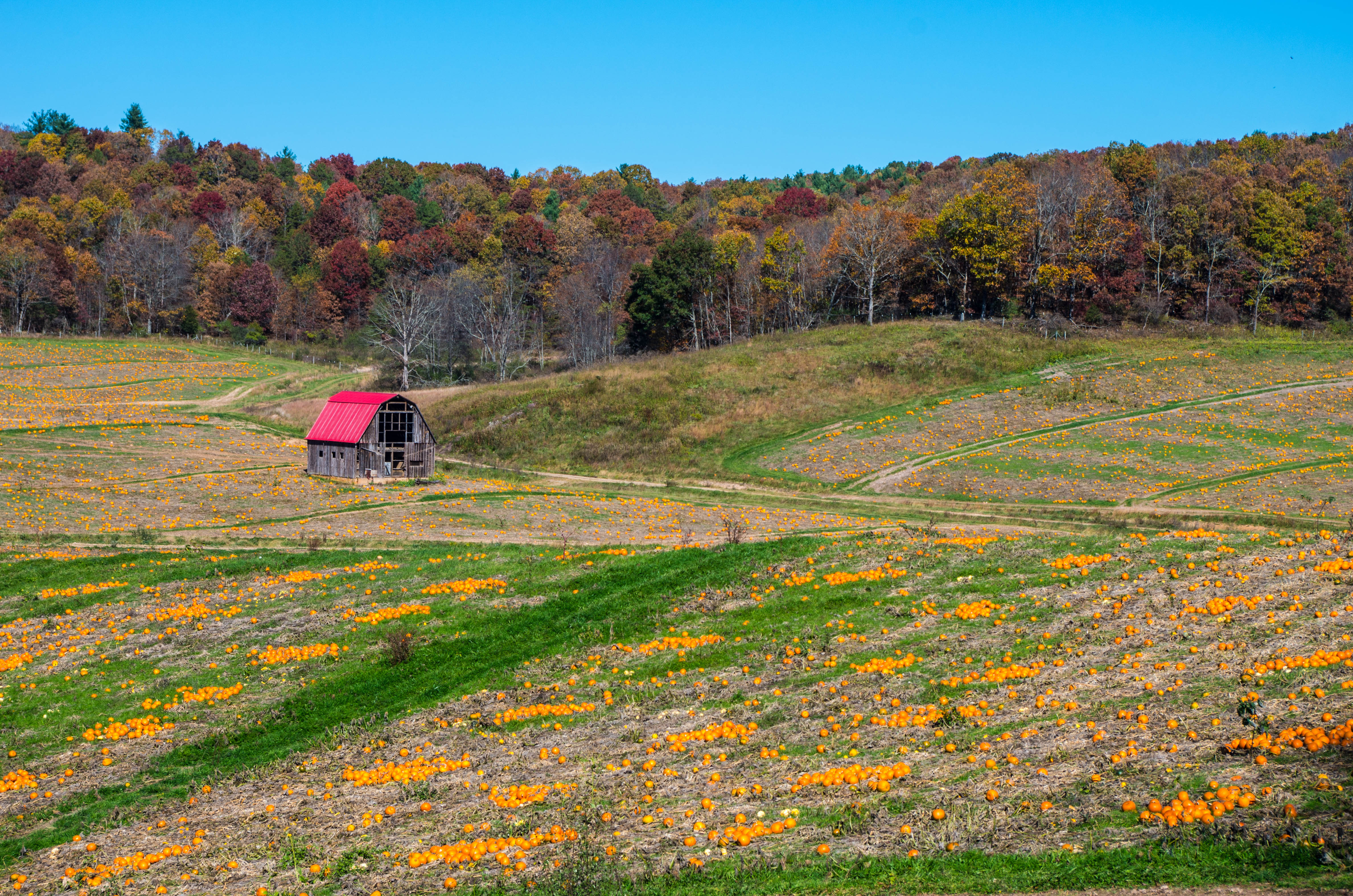
Winter will not let us escape his grasp
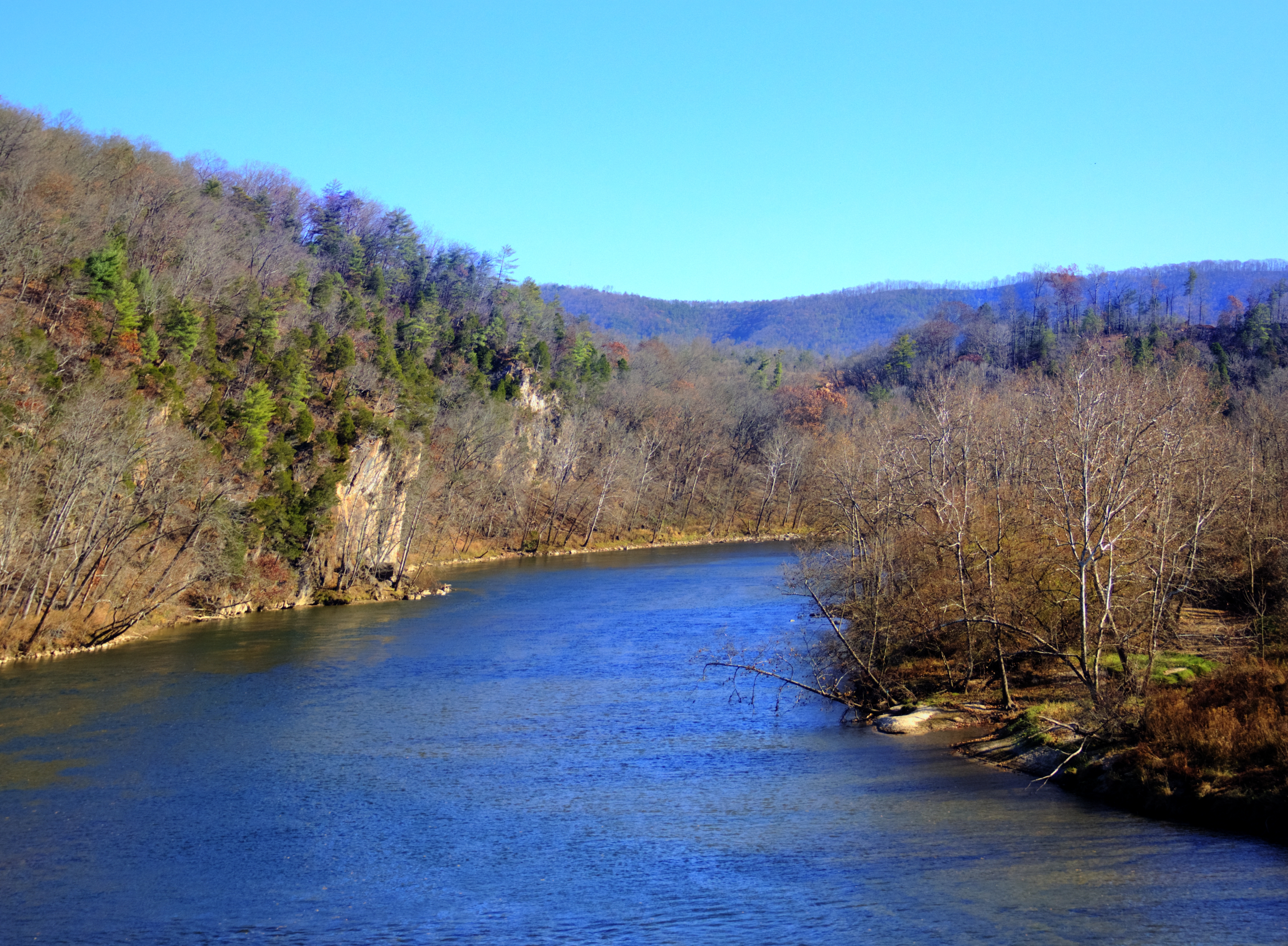
New River Trail State Park
New River Trail State Park

View from roof of Bolling Wilson Hotel
morning at foster falls
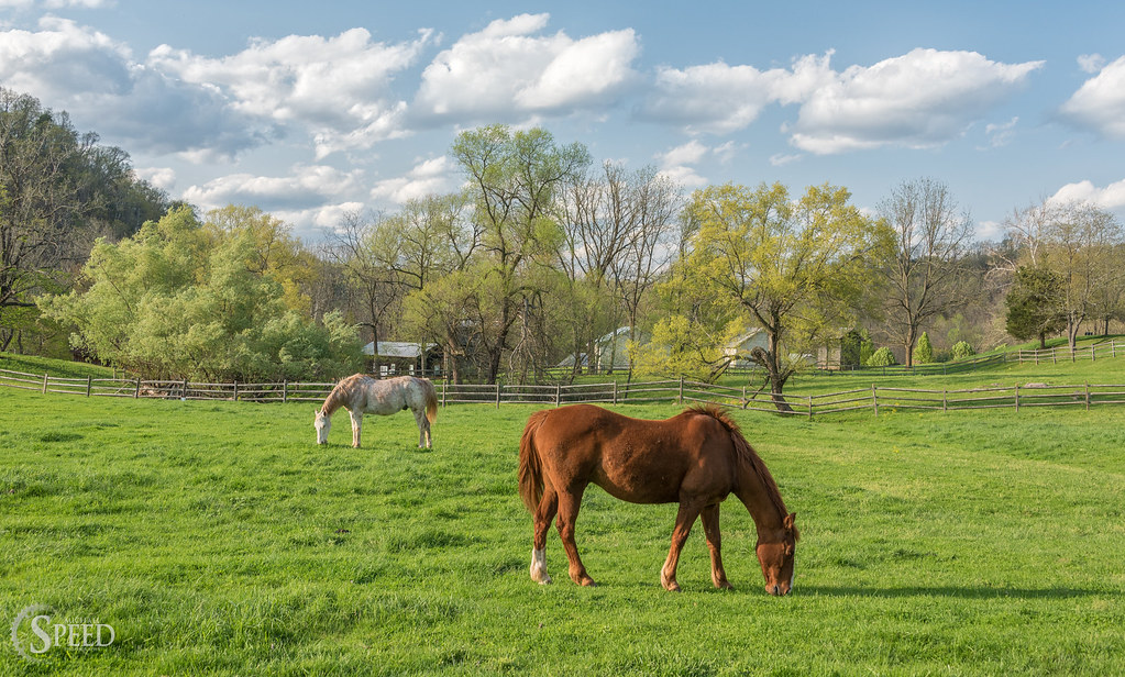
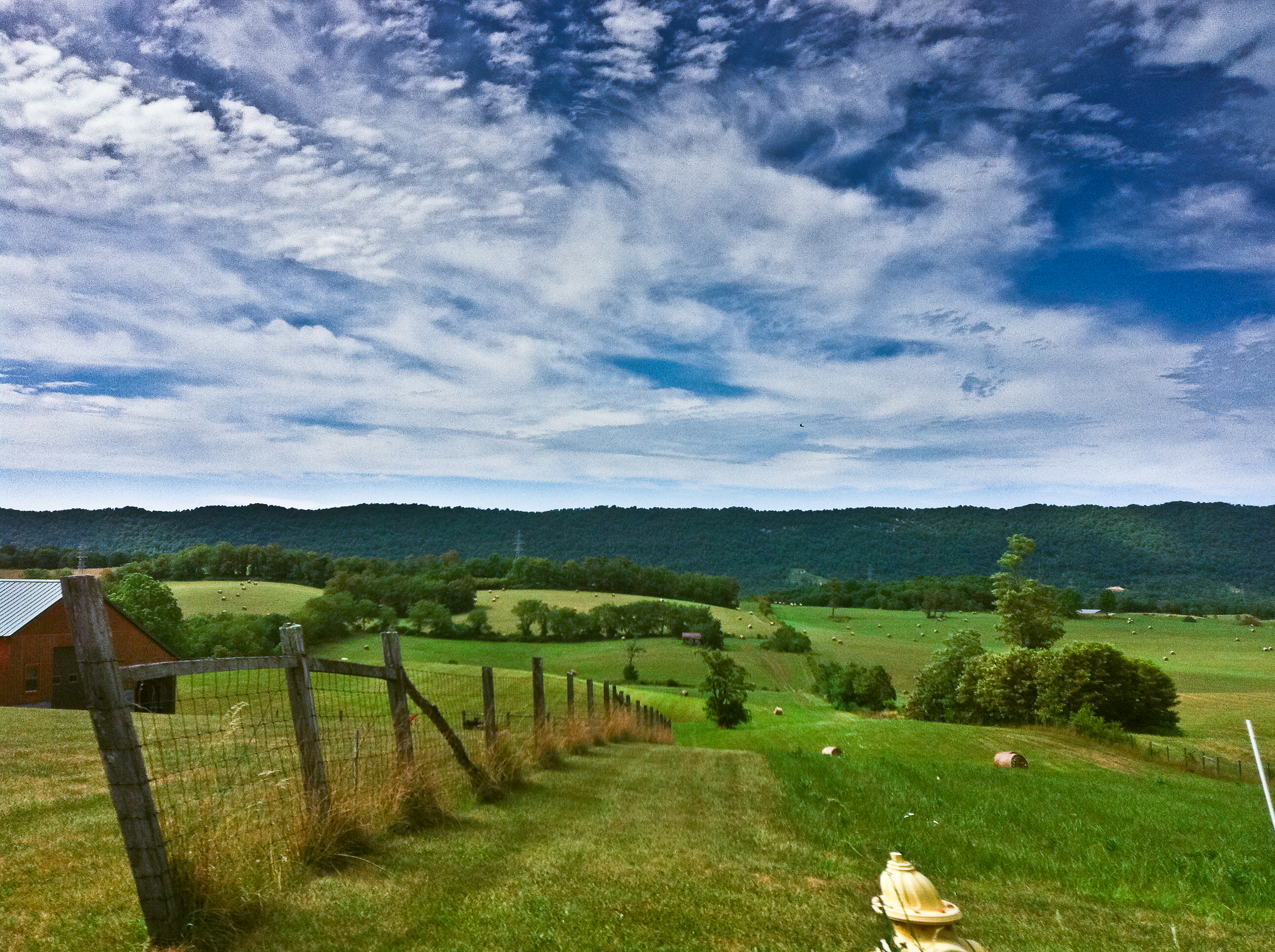
Springtime at Foster Falls Horse Livery
Countryside #landscapelovers #htcevo4glte #HTC #webstagram #statigram #gramfeed #instagram #instamood #instapic #instagood #instagramers #instagrammer #instagramhub #cloudlovers #cloudporn #skysnappers #skylovers
10-NewRiverFosterFalls
From my Window

Spring is springing on the New River Trail.
IMGP8023.jpg
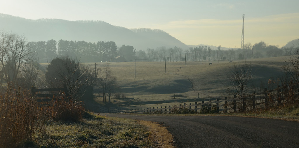
2-FrostyMorningNearShotTower
New River Trail 011
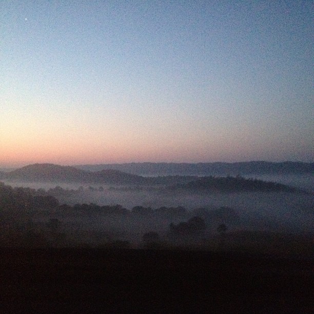
Sunrise this morning somewhere on our way home from the beach. Foggy.
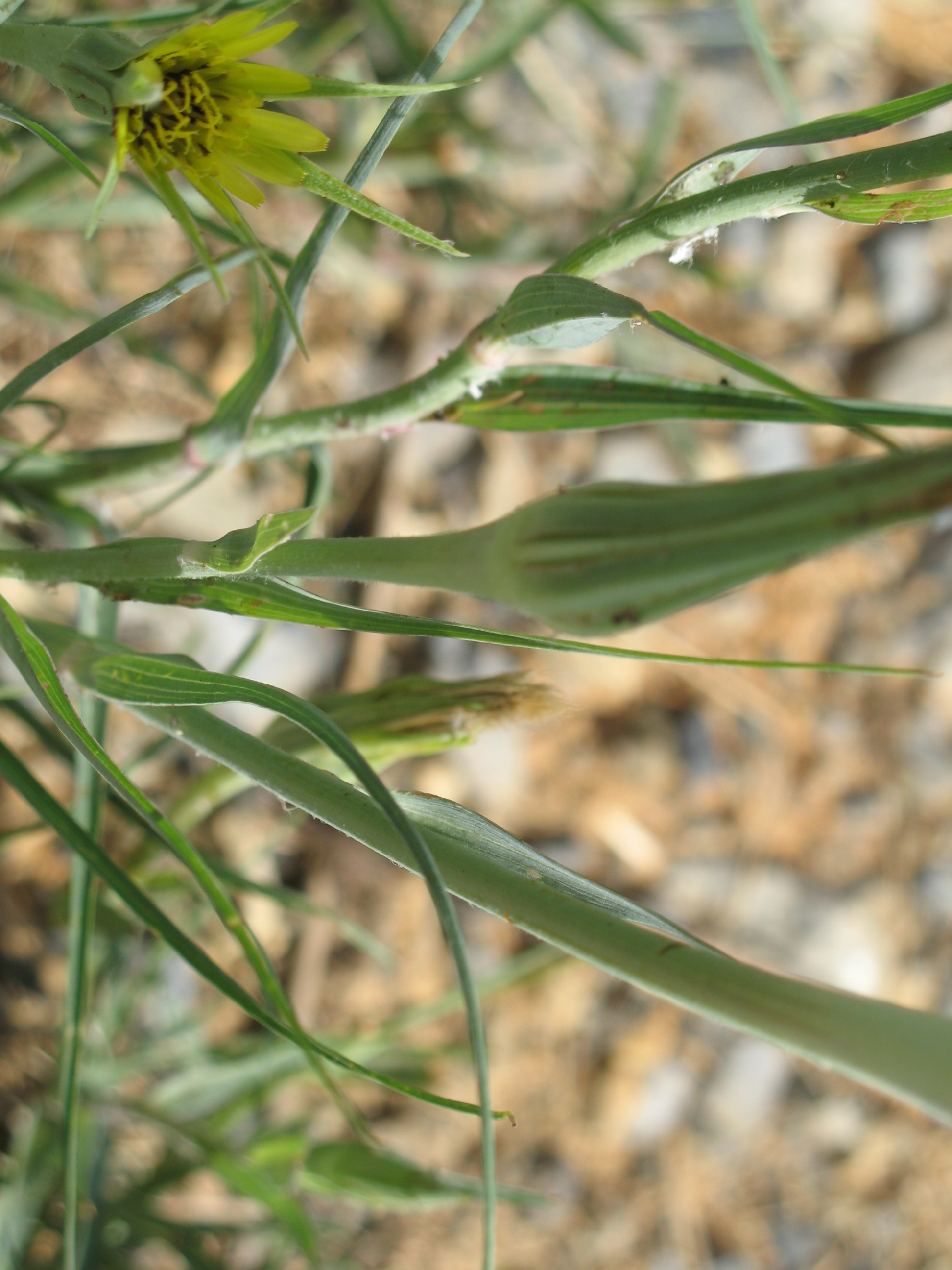
Yellow Goatsbeard - Tragopogon dubius
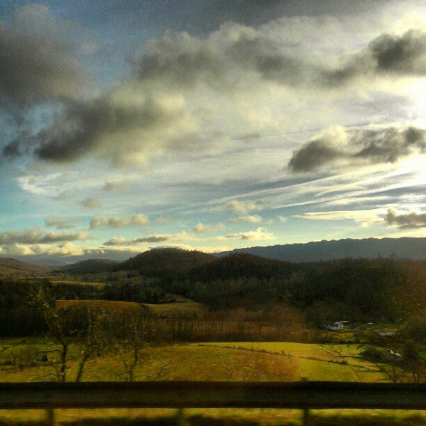
On the road.
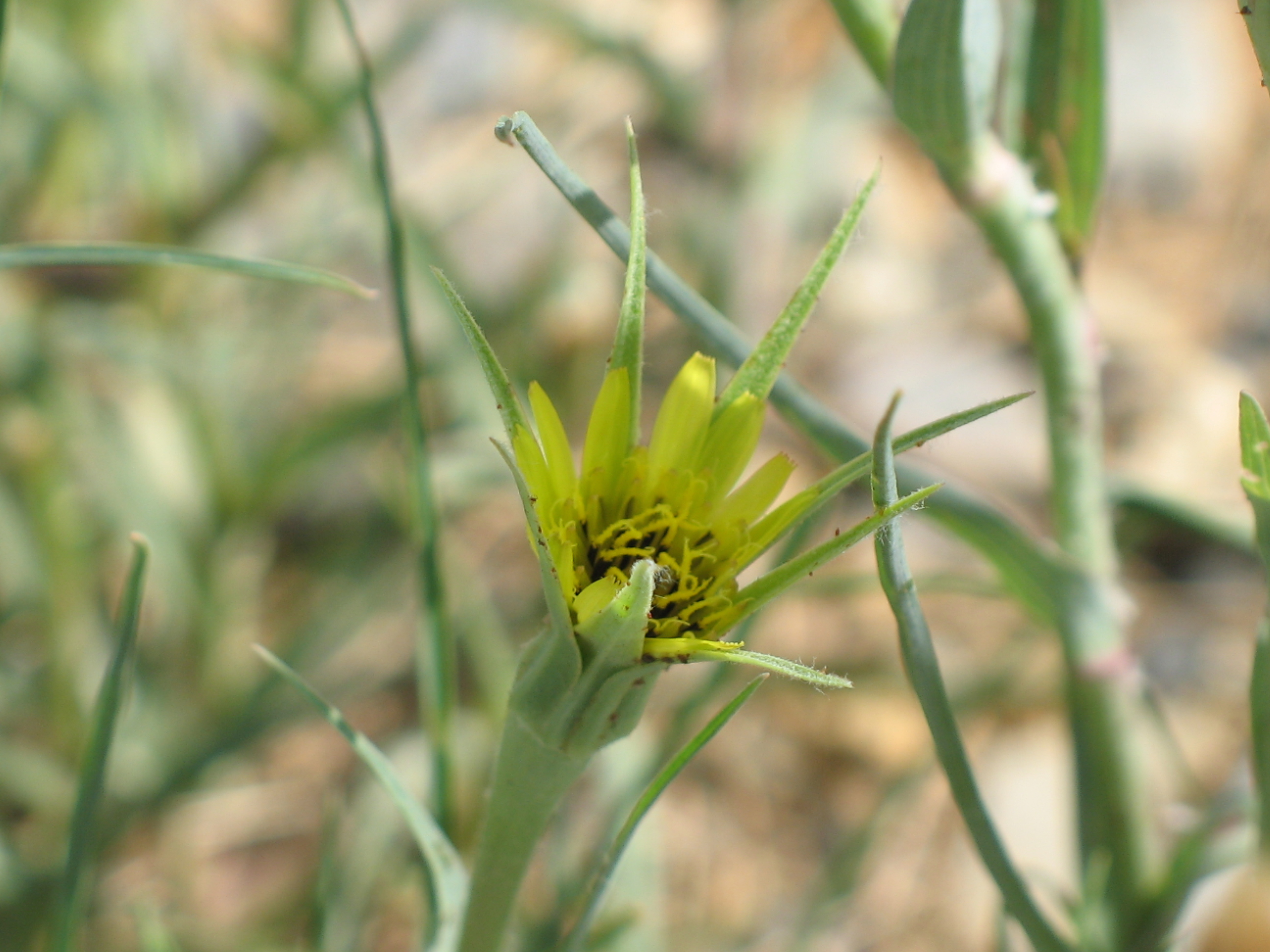
Yellow Goatsbeard - Tragopogon dubius

Biking the New River trail
New River Trail 025

iPhone 4S
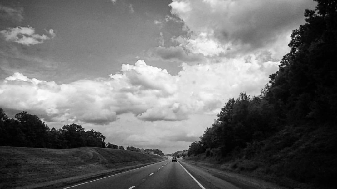
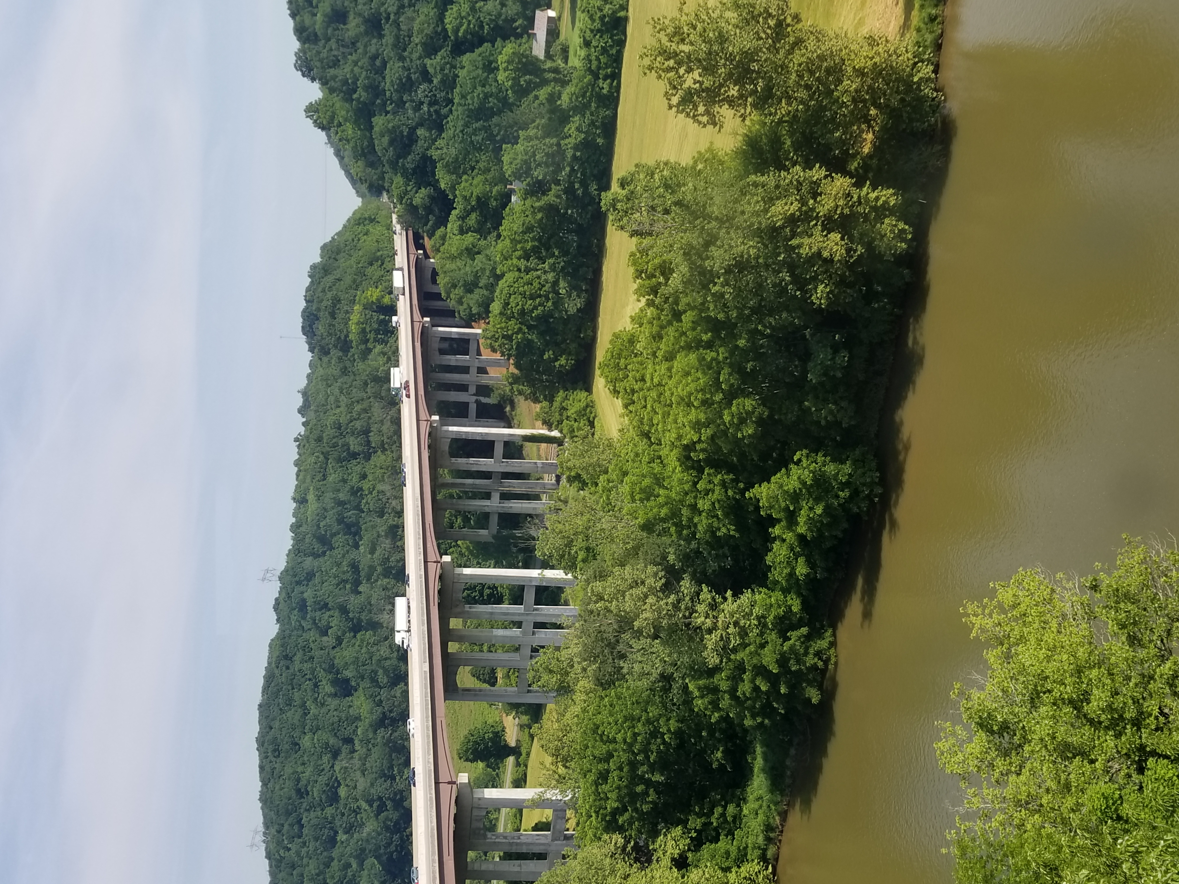
Interstate 77 In Virginia.

130716-3453 Wytheville
Topographic Map of Millers Creek Road, Millers Creek Rd, Max Meadows, VA, USA
Find elevation by address:

Places near Millers Creek Road, Millers Creek Rd, Max Meadows, VA, USA:
Heather Lane
Heather Lane
527 Wildlife Drive
Max Meadows
Peppers Ferry Road
716 Meadow View Ln
Fort Chiswell
Fort Chiswell
150 Hamilton Ln
574 Whispering Pines Rd
1015 Conners Valley Rd
3040 Crockett's Cove Rd
190 Gilland Rd
Peppers Ferry Rd, Max Meadows, VA, USA
615 Lots Gap Rd
Gunton Park Road
1007 Sheffey School Rd
Crockett's Cove Road
Indian Meadow Lane
Indian Meadow Lane
Recent Searches:
- Elevation of Clifton Down, Clifton, Bristol, City of Bristol, England, BS8 3HU, United Kingdom
- Elevation map of Auvergne-Rhône-Alpes, France
- Elevation map of Upper Savoy, Auvergne-Rhône-Alpes, France
- Elevation of Chamonix-Mont-Blanc, Upper Savoy, Auvergne-Rhône-Alpes, France
- Elevation of 908, Northwood Drive, Bridge Field, Chesapeake, Virginia, 23322, USA
- Elevation map of Nagano Prefecture, Japan
- Elevation of 587, Bascule Drive, Oakdale, Stanislaus County, California, 95361, USA
- Elevation of Stadion Wankdorf, Sempachstrasse, Breitfeld, Bern, Bern-Mittelland administrative district, Bern, 3014, Switzerland
- Elevation of Z024, 76, Emil-von-Behring-Straße, Marbach, Marburg, Landkreis Marburg-Biedenkopf, Hesse, 35041, Germany
- Elevation of Gaskill Road, Hunts Cross, Liverpool, England, L24 9PH, United Kingdom
- Elevation of Speke, Liverpool, England, L24 9HD, United Kingdom
- Elevation of Seqirus, 475, Green Oaks Parkway, Holly Springs, Wake County, North Carolina, 27540, USA
- Elevation of Pasing, Munich, Bavaria, 81241, Germany
- Elevation of 24, Auburn Bay Crescent SE, Auburn Bay, Calgary, Alberta, T3M 0A6, Canada
- Elevation of Denver, 2314, Arapahoe Street, Five Points, Denver, Colorado, 80205, USA
- Elevation of Community of the Beatitudes, 2924, West 43rd Avenue, Sunnyside, Denver, Colorado, 80211, USA
- Elevation map of Litang County, Sichuan, China
- Elevation map of Madoi County, Qinghai, China
- Elevation of 3314, Ohio State Route 114, Payne, Paulding County, Ohio, 45880, USA
- Elevation of Sarahills Drive, Saratoga, Santa Clara County, California, 95070, USA