Elevation of Miller Rhodes Ln, Saluda, NC, USA
| Latitude | 35.2441172 |
|---|---|
| Longitude | -82.2773201 |
| Elevation | 614m / 2014feet |
| Barometric Pressure | 942KPa |
Related Photos:

Belmont Coal Train Passing Saluda Depot, 1967

Obstructed mountain view

View from Carl Sandburg House
flat rock house0001

Poinsett Bridge 10-24-2014 - Bridge 10

Blue Ridge Mountain View from our vacation cabin porch (HDR)

Log Bench

PEARSON'S FALLS BLUE RIDGE MOUNTAINS ~ N.C.

Orange Peppers

In a Hurry

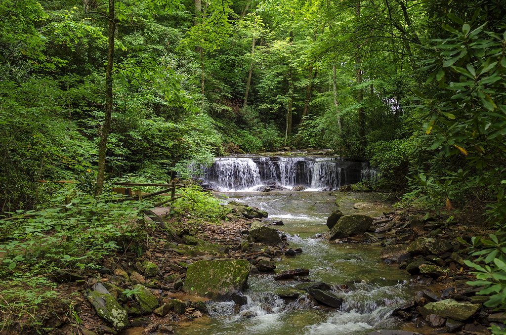
Cascading Water

Poinsett Bridge near Highland, SC

Pearson's Falls

Pearson Lower New Trail - Read Description

Flat Rock Village Hall

Pearson's Falls-through the Trees

Smoke Layers

Just a Trickle

High Bridge (Side View)
Once-staff members Dean Mayer and Mark Bailey view the remnants of The Boathouse, the waterfront-staff cabin where they once spent their summers on staff..

View of the drained Swimming Lake from the Boating Lake dam.

Sunrise Tryon

Little Bradley Falls (Saluda, North Carolina)

Low Key

Mountain Magenta

The Park At Flat Rock (Flat Rock, North Carolina)

The Carl Sandburg National Historic Site

First light

Little Bradley Falls

Poinsett Bridge - Greenville Co, S.C.
Good Morning
Shag Rug Faceoff
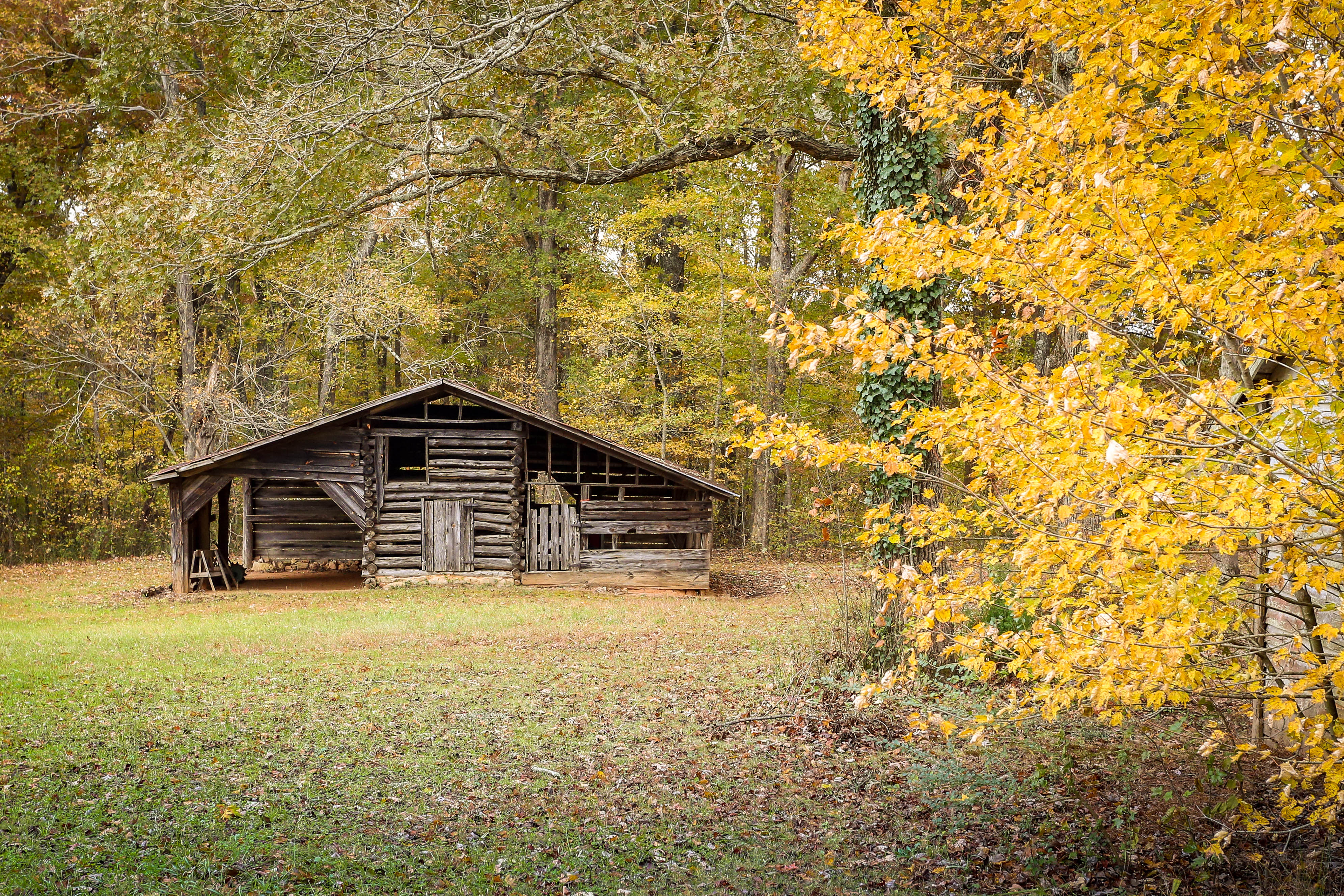
Old log barn - Greenville, S.C.

Shades of Brown

Pearson's Falls in HDR
Peaceful Trail

Bright's Creek Golf
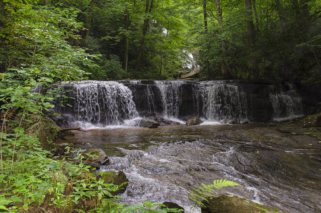
Gentle Falls on the North Pacolet River

Falls Along the Pacolet

Water Dancing on the Rocks

Pearson Falls
Topographic Map of Miller Rhodes Ln, Saluda, NC, USA
Find elevation by address:
Places near Miller Rhodes Ln, Saluda, NC, USA:
207 Miller Rhodes Ln
265 Miller Rhodes Ln
265 Miller Rhodes Ln
30 Miller Rhodes Ln
3790 Howard Gap Rd
55 Oceanview Dr
4017 Howard Gap Rd
1080 Meadowlark Dr
500 Meadowlark Dr
116 Lady Slipper Dr
116 Lady Slipper Dr
3086 Us-176
U.s. 176
555 Hanging Rock Rd
3281 Us-176
2135 Us-176
330 Autumn Ln
2373 Country Club Rd
425 Georgia Cliff Rd
1390 Country Club Rd
Recent Searches:
- Elevation of 104, Chancery Road, Middletown Township, Bucks County, Pennsylvania, 19047, USA
- Elevation of 1212, Cypress Lane, Dayton, Liberty County, Texas, 77535, USA
- Elevation map of Central Hungary, Hungary
- Elevation map of Pest, Central Hungary, Hungary
- Elevation of Pilisszentkereszt, Pest, Central Hungary, Hungary
- Elevation of Dharamkot Tahsil, Punjab, India
- Elevation of Bhinder Khurd, Dharamkot Tahsil, Punjab, India
- Elevation of 2881, Chabot Drive, San Bruno, San Mateo County, California, 94066, USA
- Elevation of 10370, West 107th Circle, Westminster, Jefferson County, Colorado, 80021, USA
- Elevation of 611, Roman Road, Old Ford, Bow, London, England, E3 2RW, United Kingdom
- Elevation of 116, Beartown Road, Underhill, Chittenden County, Vermont, 05489, USA
- Elevation of Window Rock, Colfax County, New Mexico, 87714, USA
- Elevation of 4807, Rosecroft Street, Kempsville Gardens, Virginia Beach, Virginia, 23464, USA
- Elevation map of Matawinie, Quebec, Canada
- Elevation of Sainte-Émélie-de-l'Énergie, Matawinie, Quebec, Canada
- Elevation of Rue du Pont, Sainte-Émélie-de-l'Énergie, Matawinie, Quebec, J0K2K0, Canada
- Elevation of 8, Rue de Bécancour, Blainville, Thérèse-De Blainville, Quebec, J7B1N2, Canada
- Elevation of Wilmot Court North, 163, University Avenue West, Northdale, Waterloo, Region of Waterloo, Ontario, N2L6B6, Canada
- Elevation map of Panamá Province, Panama
- Elevation of Balboa, Panamá Province, Panama