Elevation of Miller Hill, Wyoming, USA
Location: United States > Wyoming > Carbon County >
Longitude: -107.39394
Latitude: 41.5249606
Elevation: 2527m / 8291feet
Barometric Pressure: 74KPa
Elevation Map:
Satellite Map:
Related Photos:
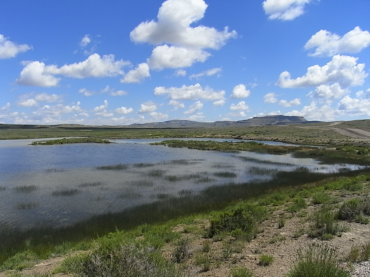
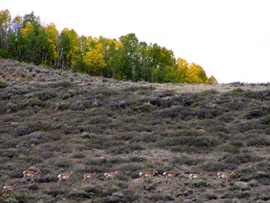
Little Sage Reservoir
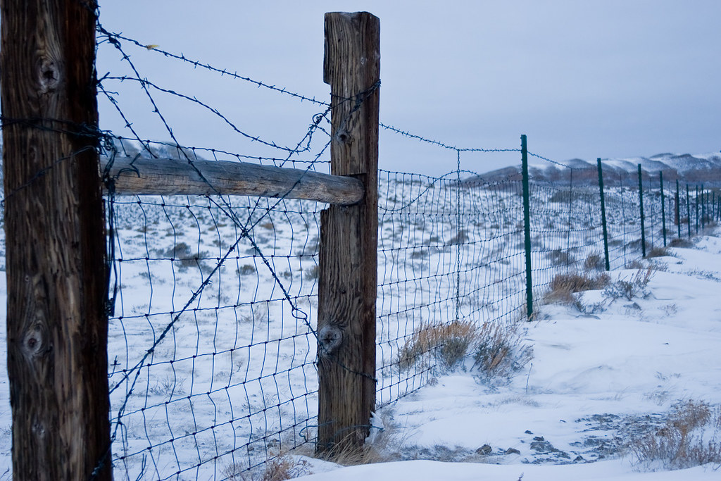
Winter Fence Line
Dirt and Sage
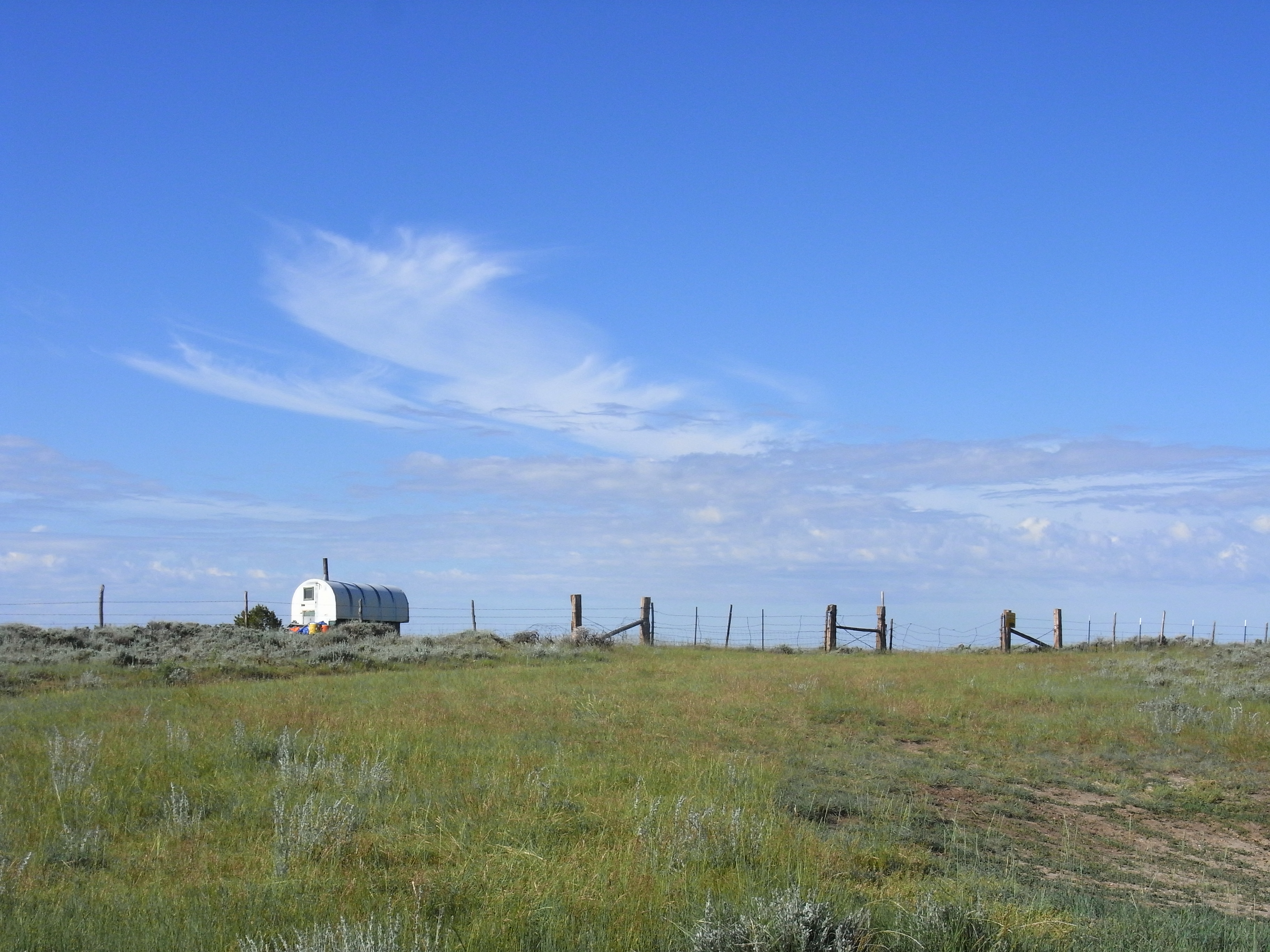
Shepherd Digs

Besökare Samtidigt
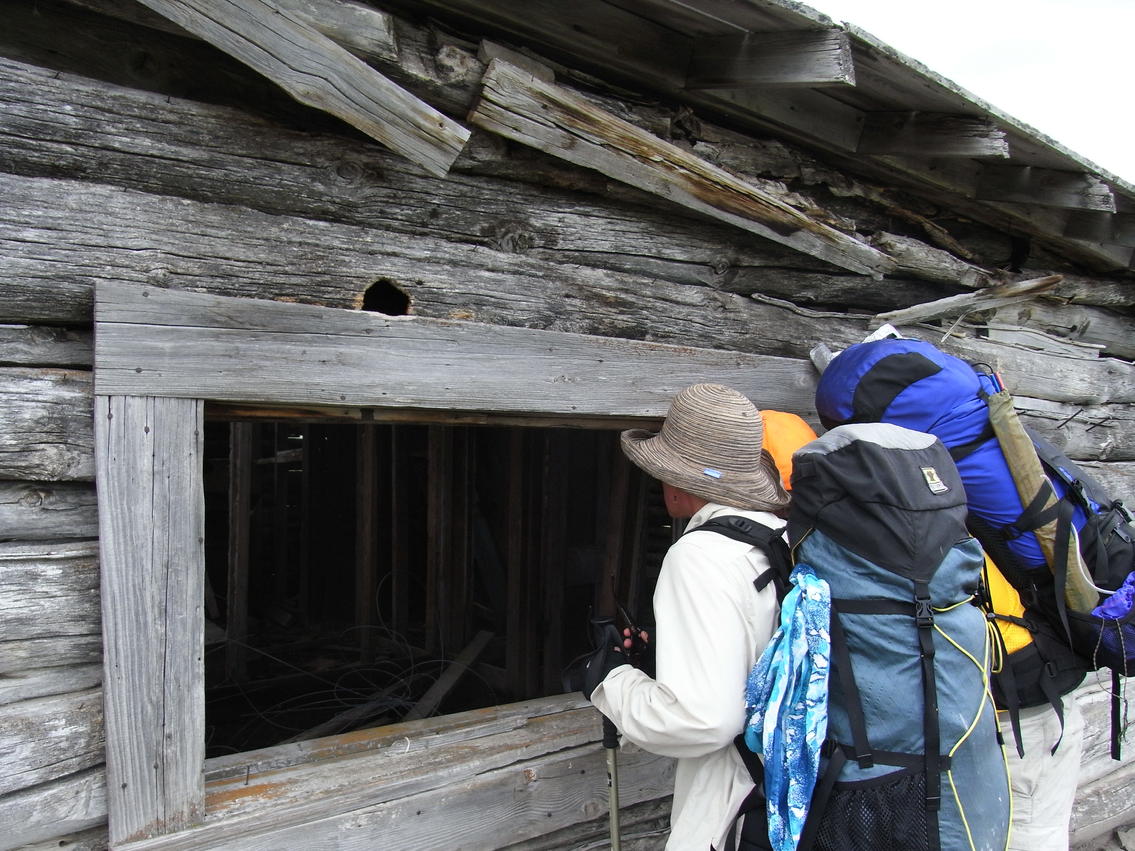
Peeking in
grousepic521390 full moon night reflection river North Platte
Topographic Map of Miller Hill, Wyoming, USA
Find elevation by address:

Places near Miller Hill, Wyoming, USA:
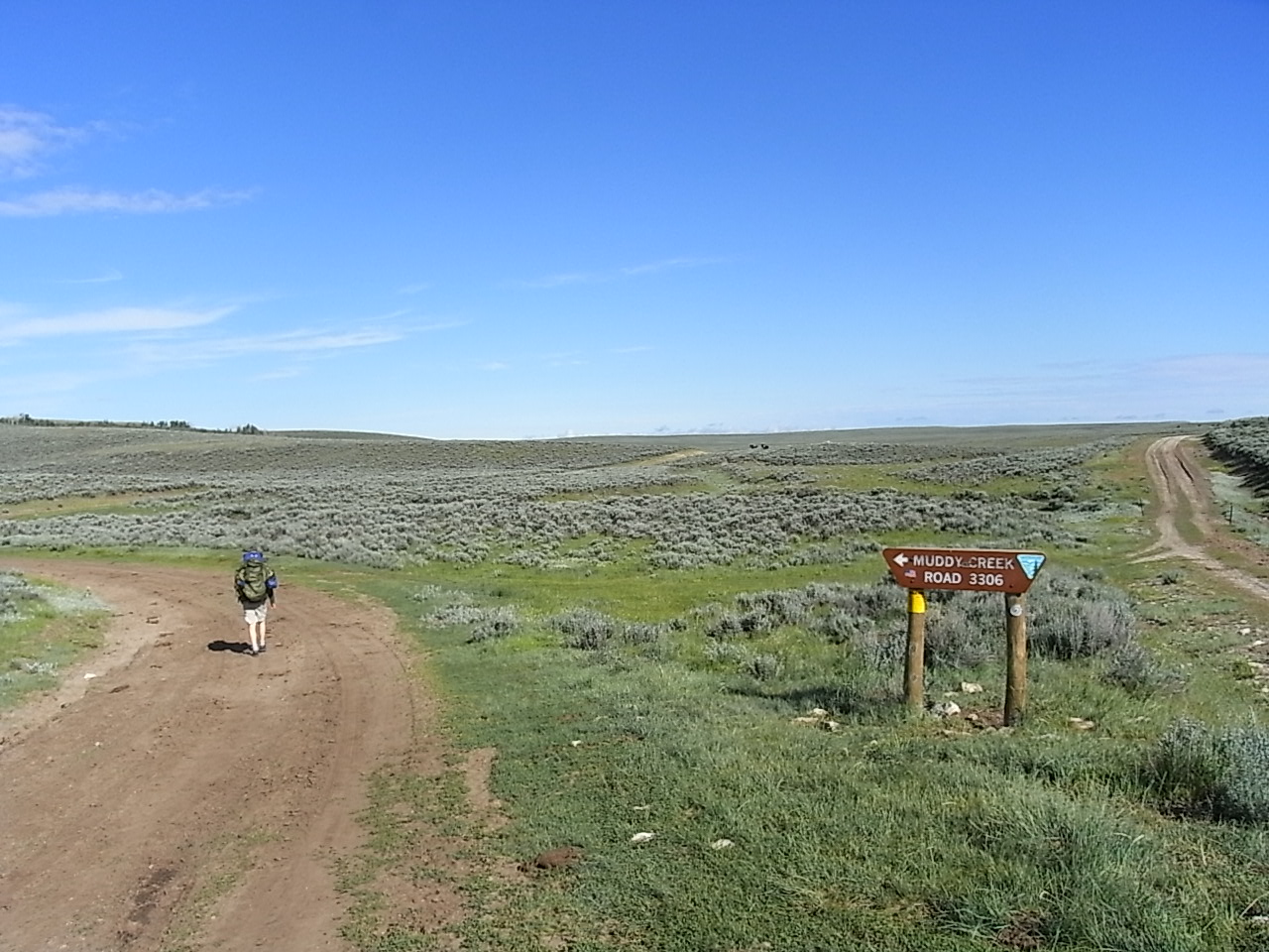
Continental Divide Trail
Chokecherry Knob
248 La Paloma Dr
Rawlins Koa Journey
221 3rd St
Rawlins
Continental Divide
1300 Us-287
Divide Peak
Baymont By Wyndham Rawlins
Green Ridge
Jack Creek Campground
Creston
Singer Peak
Wyoming 70
Sharp Hill
Carbon County
Lost Creek Campground
Quartzite Peak
Vulcan Mountain
Recent Searches:
- Elevation of Corso Fratelli Cairoli, 35, Macerata MC, Italy
- Elevation of Tallevast Rd, Sarasota, FL, USA
- Elevation of 4th St E, Sonoma, CA, USA
- Elevation of Black Hollow Rd, Pennsdale, PA, USA
- Elevation of Oakland Ave, Williamsport, PA, USA
- Elevation of Pedrógão Grande, Portugal
- Elevation of Klee Dr, Martinsburg, WV, USA
- Elevation of Via Roma, Pieranica CR, Italy
- Elevation of Tavkvetili Mountain, Georgia
- Elevation of Hartfords Bluff Cir, Mt Pleasant, SC, USA