Elevation of Continental Divide Trail, United States
Longitude: -107.48882
Latitude: 41.4754056
Elevation: 2183m / 7162feet
Barometric Pressure: 78KPa
Elevation Map:
Satellite Map:
Related Photos:

Shepherd Digs

Dirt and Sage

All Photos-730

#sunset #skyline #android #Wyoming
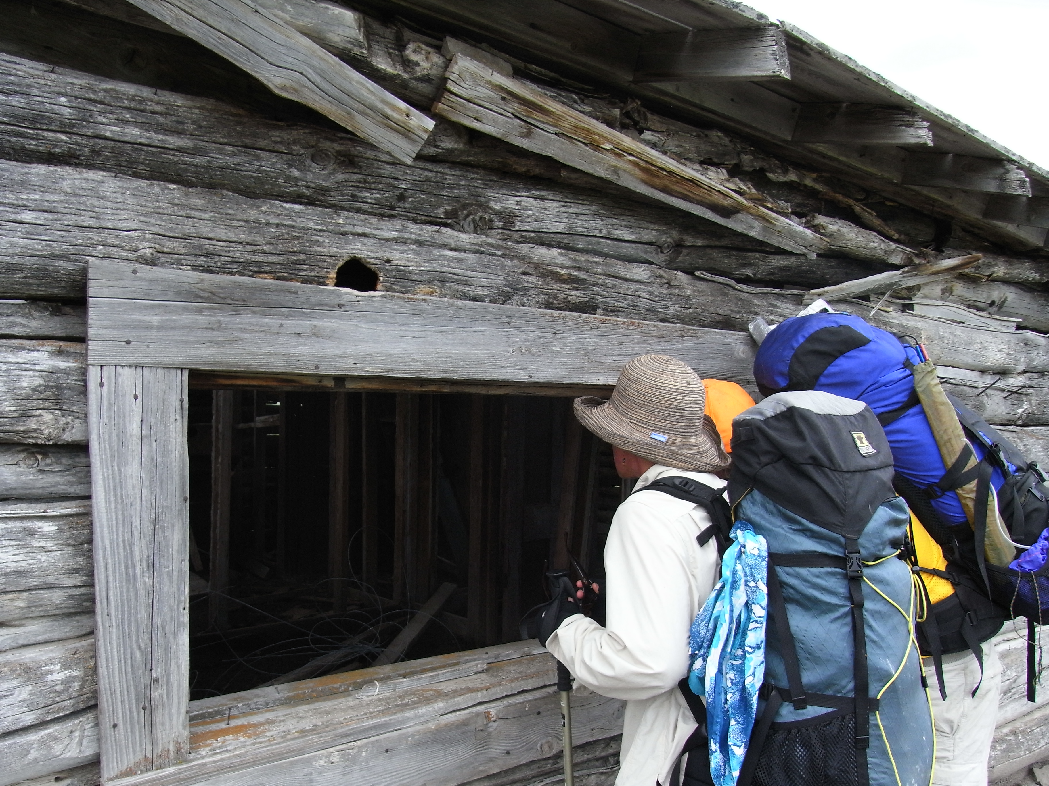
Peeking in
Topographic Map of Continental Divide Trail, United States
Find elevation by address:

Places near Continental Divide Trail, United States:
Miller Hill
Continental Divide
Chokecherry Knob
Creston
Green Ridge
Divide Peak
248 La Paloma Dr
Rawlins Koa Journey
221 3rd St
Rawlins
1300 Us-287
Jack Creek Campground
Baymont By Wyndham Rawlins
North Flat Top
Singer Peak
Savery
Wyoming 70
Baggs
Battle Mountain
The Lodge And Spa At Three Forks Ranch
Recent Searches:
- Elevation of Corso Fratelli Cairoli, 35, Macerata MC, Italy
- Elevation of Tallevast Rd, Sarasota, FL, USA
- Elevation of 4th St E, Sonoma, CA, USA
- Elevation of Black Hollow Rd, Pennsdale, PA, USA
- Elevation of Oakland Ave, Williamsport, PA, USA
- Elevation of Pedrógão Grande, Portugal
- Elevation of Klee Dr, Martinsburg, WV, USA
- Elevation of Via Roma, Pieranica CR, Italy
- Elevation of Tavkvetili Mountain, Georgia
- Elevation of Hartfords Bluff Cir, Mt Pleasant, SC, USA