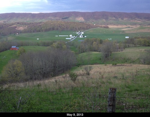
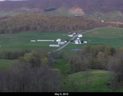
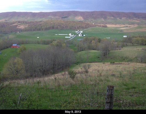
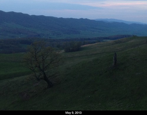
Elevation of Mill Gap Rd, Monterey, VA, USA
Location: United States > Virginia > Highland County > Blue Grass >

Longitude: -79.699055

Latitude: 38.3261724

Elevation: 797m / 2615feet

Barometric Pressure: 92KPa

Elevation Map:

elevation map of Mill Gap Rd, Monterey, VA, USA
Satellite Map:

Satellite map of Mill Gap Rd, Monterey, VA, USA

Related Photos:

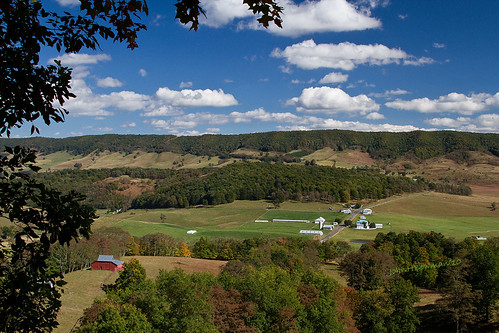
virginia barns september 2010 hightown mountainviews highlandcounty canon24105l virginiamountains september2010 bluegrassvalley virginiabarns
Hightown & Blue Grass Valley
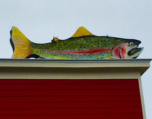
virginia trout rainbowtrout cidery highlandcounty nottobeusedwithoutmypermission adfimages
Rainbow Trout
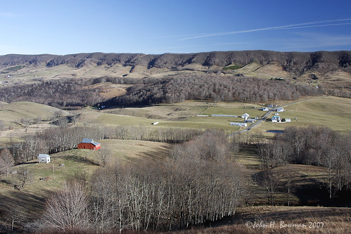
november winter virginia barns 2007 hightown mountainviews highlandcounty virginiamountains november2007 takeitoutside bluegrassvalley virginiabarns
Winter landscape - Hightown & valley (compared to fall, below)
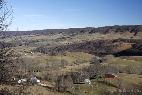
november winter virginia barns 2007 hightown mountainviews highlandcounty virginiamountains november2007 takeitoutside bluegrassvalley virginiabarns
Winter landscape - farmstead & valley
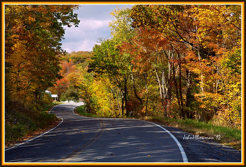
virginia october fallcolor 2012 highlandcounty canon24105l virginiamountains october2012
Around the Bend
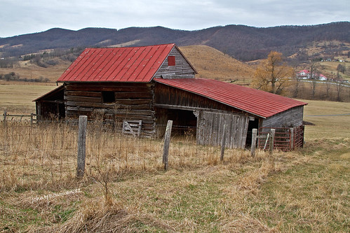
winter virginia march barns weatheredwood tinroof rustyandcrusty 2011 mountainviews highlandcounty canon24105l virginiamountains march2011 bluegrassvalley fencesgates virginiabarns
Shades of Winter - Virginia's Blue Grass Valley
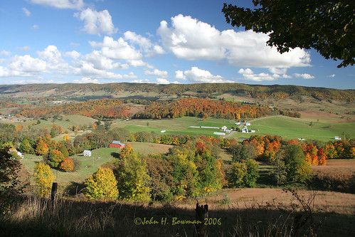
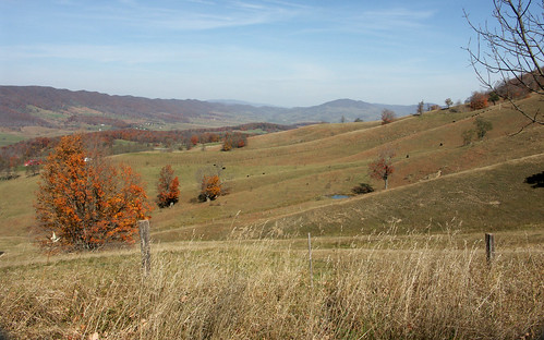
virginia october fallcolor barns 2006 hightown october2006 mountainviews highlandcounty virginiamountains bluegrassvalley virginiabarns
Early fall color - at possible wind farm site?
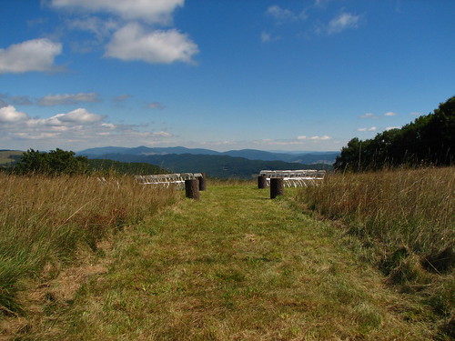
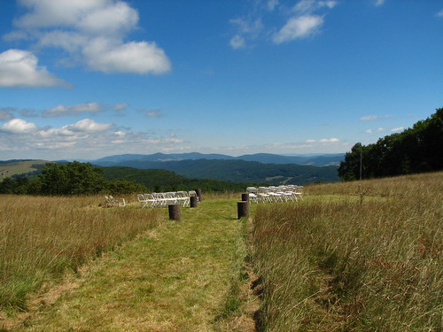
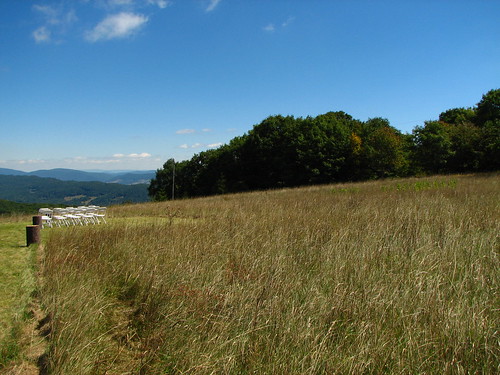
county wedding mountain virginia jill farm gabe highlandcounty bearmountainfarm peoplefriendsjill placesvirginia placesbear placeshighland descriptionswedding peoplefriendsgabe
View from the wedding
winter virginia march cattle largeanimals 2011 highlandcounty canon24105l virginiamountains march2011 bluegrassvalley fencesgates
There's the beef! - Blue Grass Valley
travel trees winter sky lake snow mountains ice nature water skyline landscape outdoors virginia woods highway day afternoon outdoor air sunny aerial clear everything 2014 nosduhmj
2014.03.09.111 Hightown
View from Monterey Mountain 1
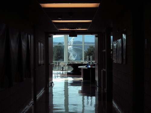
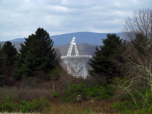
greenbank nrao gbtapr15
down the hall there is a telescope
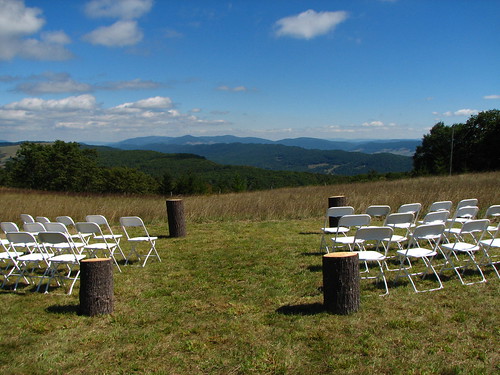
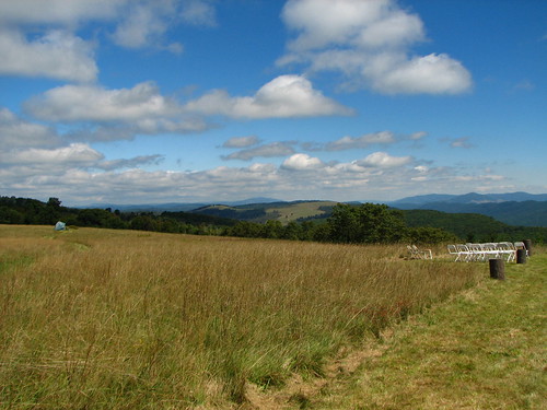
county wedding mountain virginia jill farm gabe highlandcounty bearmountainfarm peoplefriendsjill placesvirginia placesbear placeshighland descriptionswedding peoplefriendsgabe
View from the wedding
greenbank nrao jansky
Wide View of the Jansky Scope
county wedding mountain virginia jill farm gabe highlandcounty bearmountainfarm peoplefriendsjill placesvirginia placesbear placeshighland descriptionswedding peoplefriendsgabe
View from the wedding
greenbank nrao gbtapr15
trans-swamp view 2
county wedding mountain virginia jill farm gabe highlandcounty bearmountainfarm peoplefriendsjill placesvirginia placesbear placeshighland descriptionswedding peoplefriendsgabe
View from the wedding
county wedding mountain virginia jill farm gabe highlandcounty bearmountainfarm peoplefriendsjill placesvirginia placesbear placeshighland descriptionswedding peoplefriendsgabe
View from the wedding
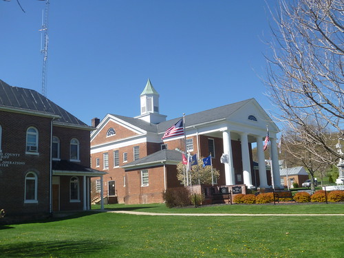
virginia monterey courthouse highlandcounty
East Side View Of Highland County Courthouse
virginia monterey courthouse highlandcounty
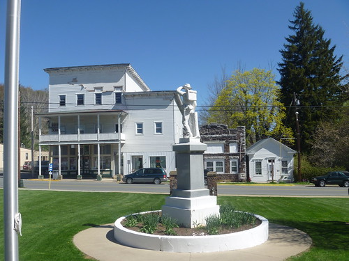
Highland County Courthouse
virginia monterey courthouse confederatememorial highlandcounty hhcashstore
Backside View Of The Highland County Confederate Mmeorial
usa clouds barn bluesky september wv telescope westvirginia greenbank 2014 squirrelgirl nationalradioastronomyobservatory barbaraamende barbaraaamende barbaraanneamende
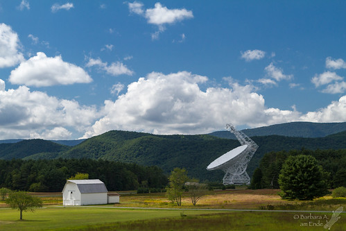
National Radio Astronomy Observatory, Green Bank, WV
Camera Roll-55
Camera Roll-49
Camera Roll-49
Camera Roll-50
Camera Roll-55
Camera Roll-50
Camera Roll-62
Camera Roll-59
square squareformat hefe iphoneography instagramapp uploaded:by=instagram foursquare:venue=50b2553ce4b03ac7c6715090
#whpsignsoftheseasons #octoberproject
Camera Roll-62
Camera Roll-52
Camera Roll-58
Camera Roll-59
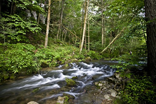
longexposure water virginia stream brook wilderness jeffersonnationalforest
HM8G3969.jpg