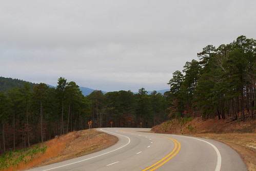
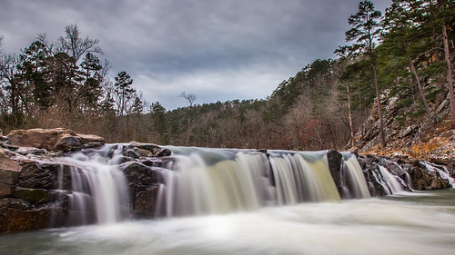
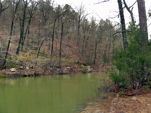
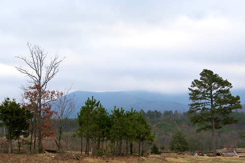
Elevation of Mill Creek Bridge, Boles, AR, USA
Location: United States > Arkansas > Scott County > Mill Creek Township >
Longitude: -93.938406
Latitude: 34.7118781
Elevation: 304m / 997feet
Barometric Pressure: 98KPa
Related Photos:
Topographic Map of Mill Creek Bridge, Boles, AR, USA
Find elevation by address:

Places near Mill Creek Bridge, Boles, AR, USA:
County Road 301
699 Polk Rd 301
642 Polk Rd 85
Oden
Old Waters Hwy, Oden, AR, USA
4242 Old Boles Rd
5490 Ar-88
US-, Boles, AR, USA
Mountain Township
1541 Lower Buffalo Rd
4287 Painted Vista Rd
Mill Creek Township
198 Medcalf Ln
Polk Rd 72, Mena, AR, USA
Mill Creek Township
County Rd 65, Mena, AR, USA
Scott County
2881 Primrose Ln
E Broadway Ave, Oden, AR, USA
Oden
Recent Searches:
- Elevation of Corso Fratelli Cairoli, 35, Macerata MC, Italy
- Elevation of Tallevast Rd, Sarasota, FL, USA
- Elevation of 4th St E, Sonoma, CA, USA
- Elevation of Black Hollow Rd, Pennsdale, PA, USA
- Elevation of Oakland Ave, Williamsport, PA, USA
- Elevation of Pedrógão Grande, Portugal
- Elevation of Klee Dr, Martinsburg, WV, USA
- Elevation of Via Roma, Pieranica CR, Italy
- Elevation of Tavkvetili Mountain, Georgia
- Elevation of Hartfords Bluff Cir, Mt Pleasant, SC, USA


