Elevation of Milam, WV, USA
Location: United States > West Virginia > Hardy County > South Fork >
Longitude: -79.0992004
Latitude: 38.8140017
Elevation: 370m / 1214feet
Barometric Pressure: 0KPa
Related Photos:

Valley View Mennonite Church, Criders, Virginia, 1993
Valley View Mennonite Church Criders Virginia 2012

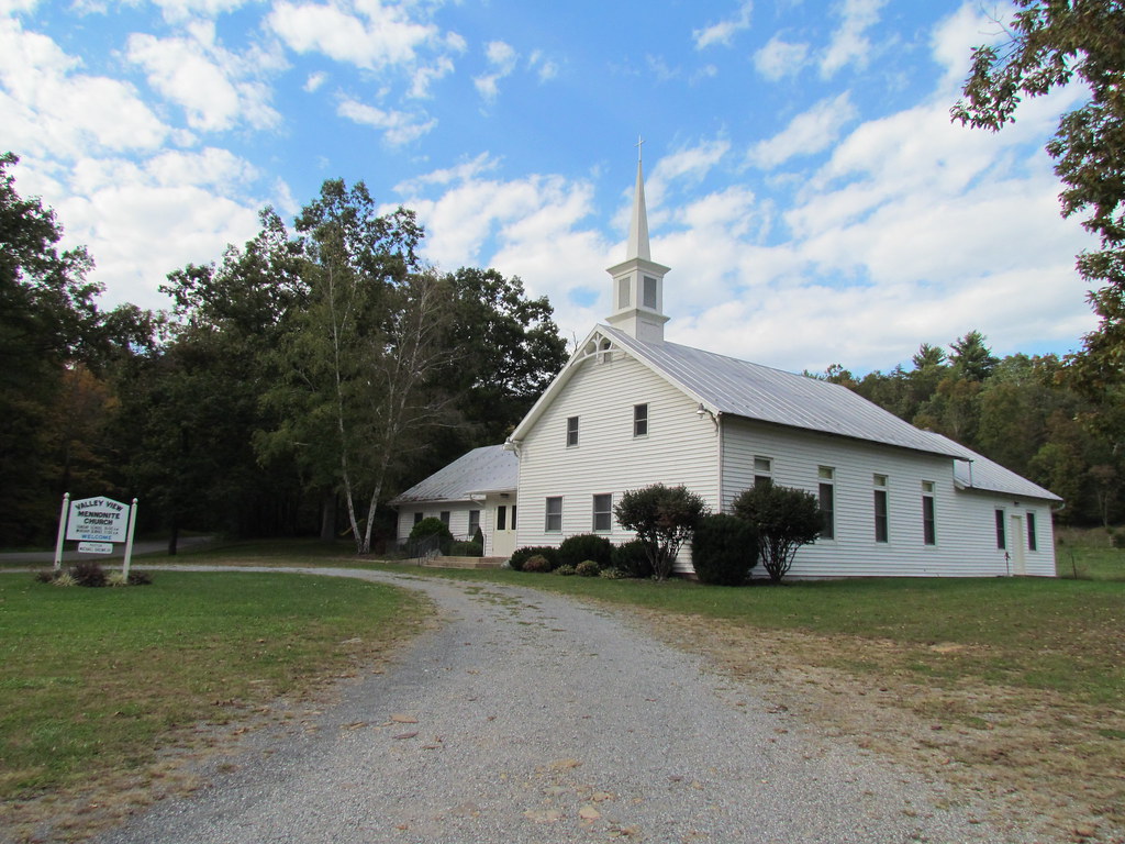
Valley View Mennonite Church Criders Virginia 2012 (1880)

Valley View Mennonite Church Criders Virginia 2012
Valley View Mennonite Church Criders Virginia 2012

Valley View Mennonite Church Criders Virginia 2012
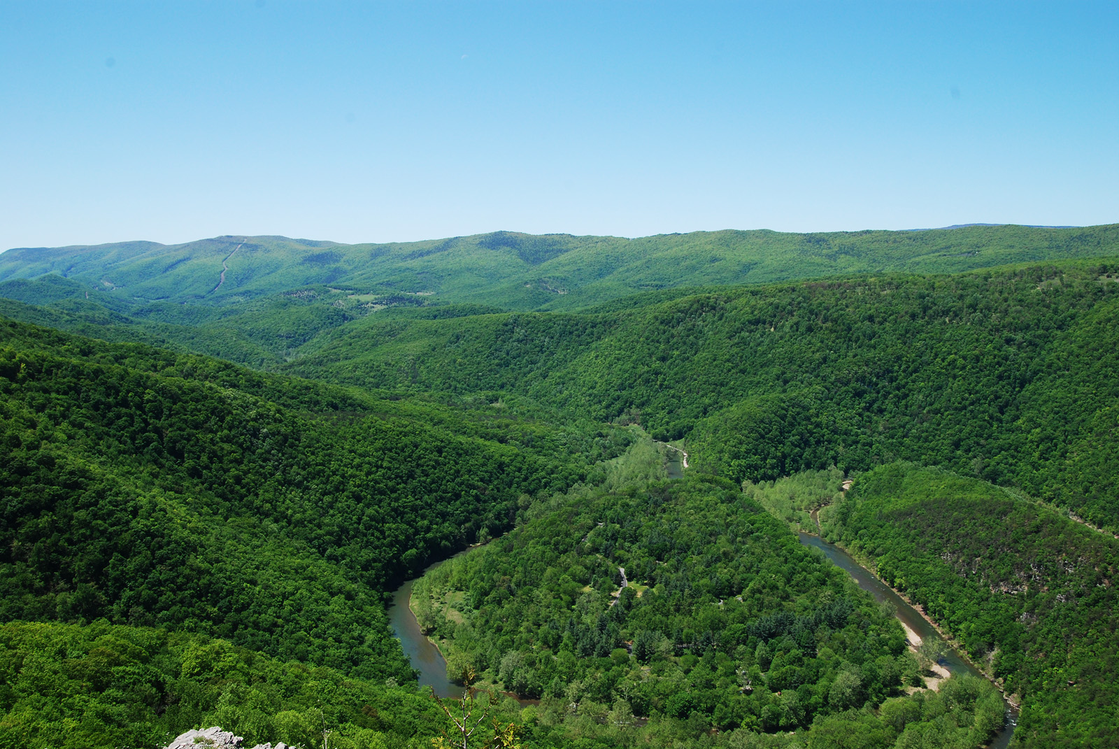
Big Bend
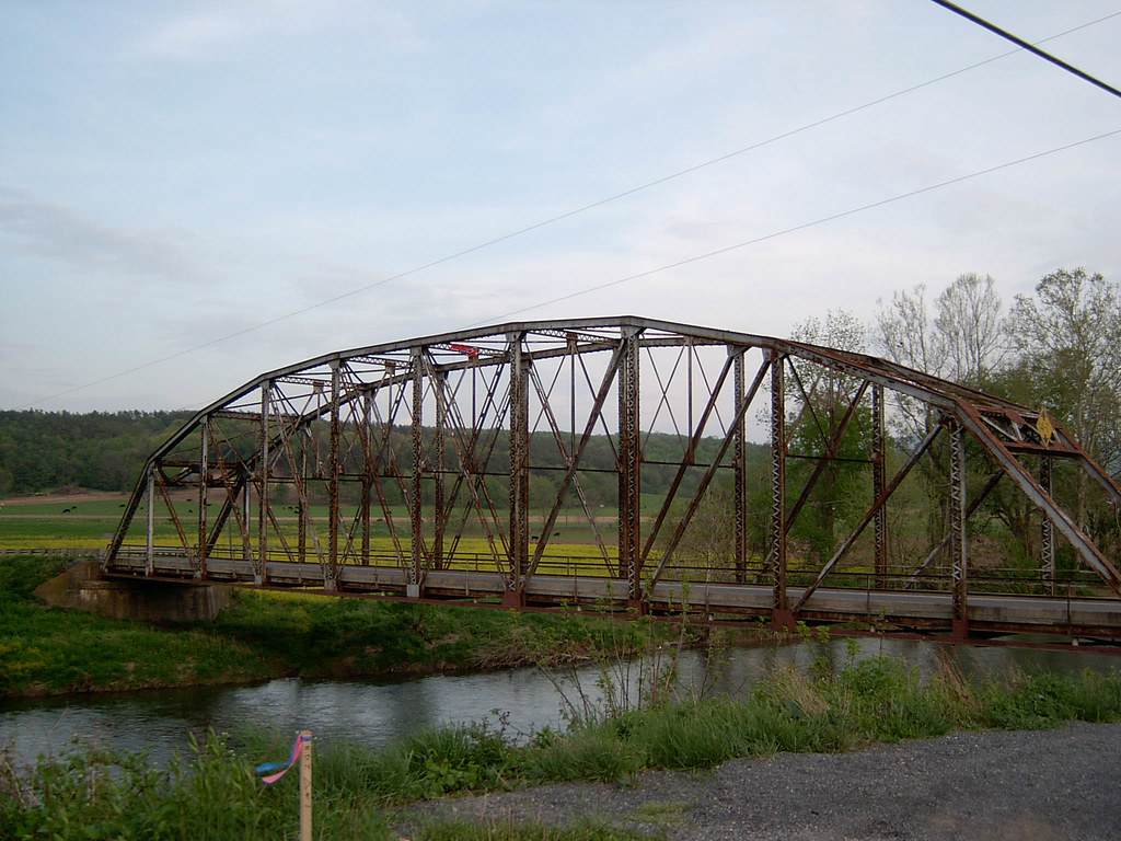
Bridge Side View Image 1 4-30-2004 Photo

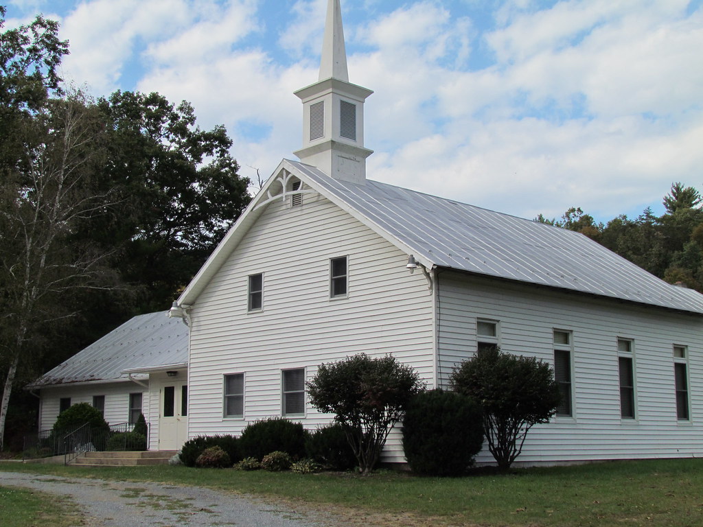
Zion Methodist Church, Milam, WV

South Fork of the South Branch Potomac River, WV

100_3343.jpg

Monongahela National Forest in Pendleton County, W.Va.

Monongahela National Forest in Pendleton County, W.Va.

Monongahela National Forest in Pendleton County, W.Va.

Monongahela National Forest in Pendleton County, W.Va.

Monongahela National Forest in Pendleton County, W.Va.

Monongahela National Forest in Pendleton County, W.Va.

Monongahela National Forest in Pendleton County, W.Va.

Monongahela National Forest in Pendleton County, W.Va.

Monongahela National Forest in Pendleton County, W.Va.

Monongahela National Forest in Pendleton County, W.Va.

Monongahela National Forest in Pendleton County, W.Va.

Monongahela National Forest in Pendleton County, W.Va.

Monongahela National Forest in Pendleton County, W.Va.

Monongahela National Forest in Pendleton County, W.Va.

Monongahela National Forest in Pendleton County, W.Va.

Monongahela National Forest in Pendleton County, W.Va.

Monongahela National Forest in Pendleton County, W.Va.
Topographic Map of Milam, WV, USA
Find elevation by address:

Places in Milam, WV, USA:
Places near Milam, WV, USA:
Wilson Run
S Fork Rd, Moorefield, WV, USA
24003 Bennett Run Rd
23257 Bennett Run Rd
Camp Run Road
23678 Criders Rd
23049 Overly Hollow
23148 Overly Hollow
21934 Bennett Run Rd
21555 Overly Hollow
22999 German River Rd
Gobble Mountain Road
Criders, VA, USA
Criders
Cow Knob
Plains
19592 Clem Hollow Ln
29292 Arbuckle Rd
20898 Souder Ln
17938 Crab Run Rd
Recent Searches:
- Elevation map of Greenland, Greenland
- Elevation of Sullivan Hill, New York, New York, 10002, USA
- Elevation of Morehead Road, Withrow Downs, Charlotte, Mecklenburg County, North Carolina, 28262, USA
- Elevation of 2800, Morehead Road, Withrow Downs, Charlotte, Mecklenburg County, North Carolina, 28262, USA
- Elevation of Yangbi Yi Autonomous County, Yunnan, China
- Elevation of Pingpo, Yangbi Yi Autonomous County, Yunnan, China
- Elevation of Mount Malong, Pingpo, Yangbi Yi Autonomous County, Yunnan, China
- Elevation map of Yongping County, Yunnan, China
- Elevation of North 8th Street, Palatka, Putnam County, Florida, 32177, USA
- Elevation of 107, Big Apple Road, East Palatka, Putnam County, Florida, 32131, USA
- Elevation of Jiezi, Chongzhou City, Sichuan, China
- Elevation of Chongzhou City, Sichuan, China
- Elevation of Huaiyuan, Chongzhou City, Sichuan, China
- Elevation of Qingxia, Chengdu, Sichuan, China
- Elevation of Corso Fratelli Cairoli, 35, Macerata MC, Italy
- Elevation of Tallevast Rd, Sarasota, FL, USA
- Elevation of 4th St E, Sonoma, CA, USA
- Elevation of Black Hollow Rd, Pennsdale, PA, USA
- Elevation of Oakland Ave, Williamsport, PA, USA
- Elevation of Pedrógão Grande, Portugal