Elevation of Camp Run Road, Camp Run Rd, Eastern, WV, USA
Location: United States > West Virginia > Pendleton County > Eastern >
Longitude: -79.094202
Latitude: 38.7510909
Elevation: 552m / 1811feet
Barometric Pressure: 95KPa
Elevation Map:
Satellite Map:
Related Photos:

Valley View Mennonite Church, Criders, Virginia, 1993
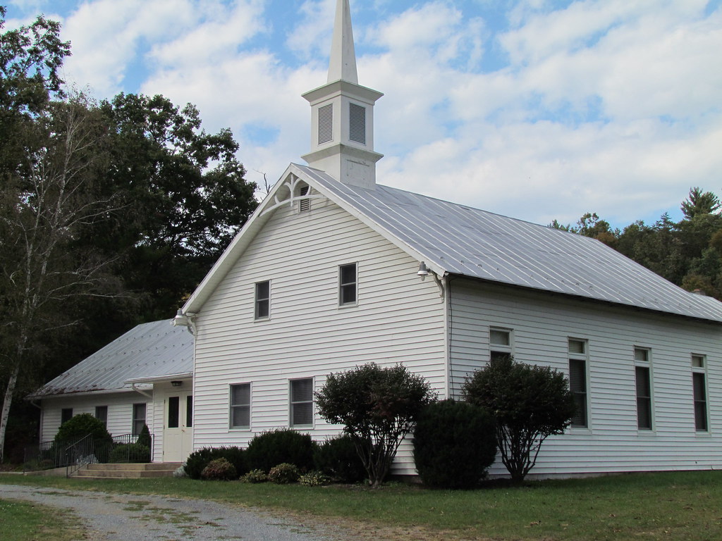
Valley View Mennonite Church Criders Virginia 2012

Valley View Mennonite Church Criders Virginia 2012 (1880)

Valley View Mennonite Church Criders Virginia 2012
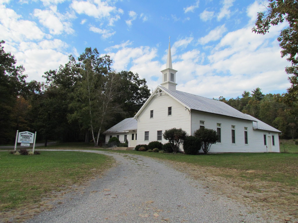
Valley View Mennonite Church Criders Virginia 2012

Valley View Mennonite Church Criders Virginia 2012

Zion Methodist Church, Milam, WV

100_3343.jpg

U.S. 33

Ready to astronomy

Ready to Star Gaze

Orchard Orb Weaver spider, Beech Lick Knob, George Washington National Forest, Virginia

Allegheny Mountains, Fort Seybert, West Virginia

Allegheny Mountains, Fort Seybert, West Virginia

Allegheny Mountains, Fort Seybert, West Virginia

Allegheny Mountains, Fort Seybert, West Virginia

Driving through West Virginia

Valhalla Farm

Torsten with goat

Baby goats
Topographic Map of Camp Run Road, Camp Run Rd, Eastern, WV, USA
Find elevation by address:

Places near Camp Run Road, Camp Run Rd, Eastern, WV, USA:
Wilson Run
23678 Criders Rd
Gobble Mountain Road
24003 Bennett Run Rd
Criders, VA, USA
Cow Knob
22999 German River Rd
23257 Bennett Run Rd
Milam
21934 Bennett Run Rd
Criders
S Fork Rd, Moorefield, WV, USA
23049 Overly Hollow
23148 Overly Hollow
21555 Overly Hollow
Plains
29292 Arbuckle Rd
19592 Clem Hollow Ln
17938 Crab Run Rd
Bergton
Recent Searches:
- Elevation of Corso Fratelli Cairoli, 35, Macerata MC, Italy
- Elevation of Tallevast Rd, Sarasota, FL, USA
- Elevation of 4th St E, Sonoma, CA, USA
- Elevation of Black Hollow Rd, Pennsdale, PA, USA
- Elevation of Oakland Ave, Williamsport, PA, USA
- Elevation of Pedrógão Grande, Portugal
- Elevation of Klee Dr, Martinsburg, WV, USA
- Elevation of Via Roma, Pieranica CR, Italy
- Elevation of Tavkvetili Mountain, Georgia
- Elevation of Hartfords Bluff Cir, Mt Pleasant, SC, USA