Elevation of Mickinock Township, MN, USA
Location: United States > Minnesota > Roseau County >
Longitude: -95.660638
Latitude: 48.6807797
Elevation: 336m / 1102feet
Barometric Pressure: 97KPa
Elevation Map:
Satellite Map:
Related Photos:

Hayes Lake State Park

"Northern Moonrise" Roseau, Minnesota

"After The Sunset" Minnesota

Minnesota Sunflower Field "Contrast"

"After The Sunset" Roseau, Minnesota

Andromeda polifolia

Polites mystic

Hybomitra sp.
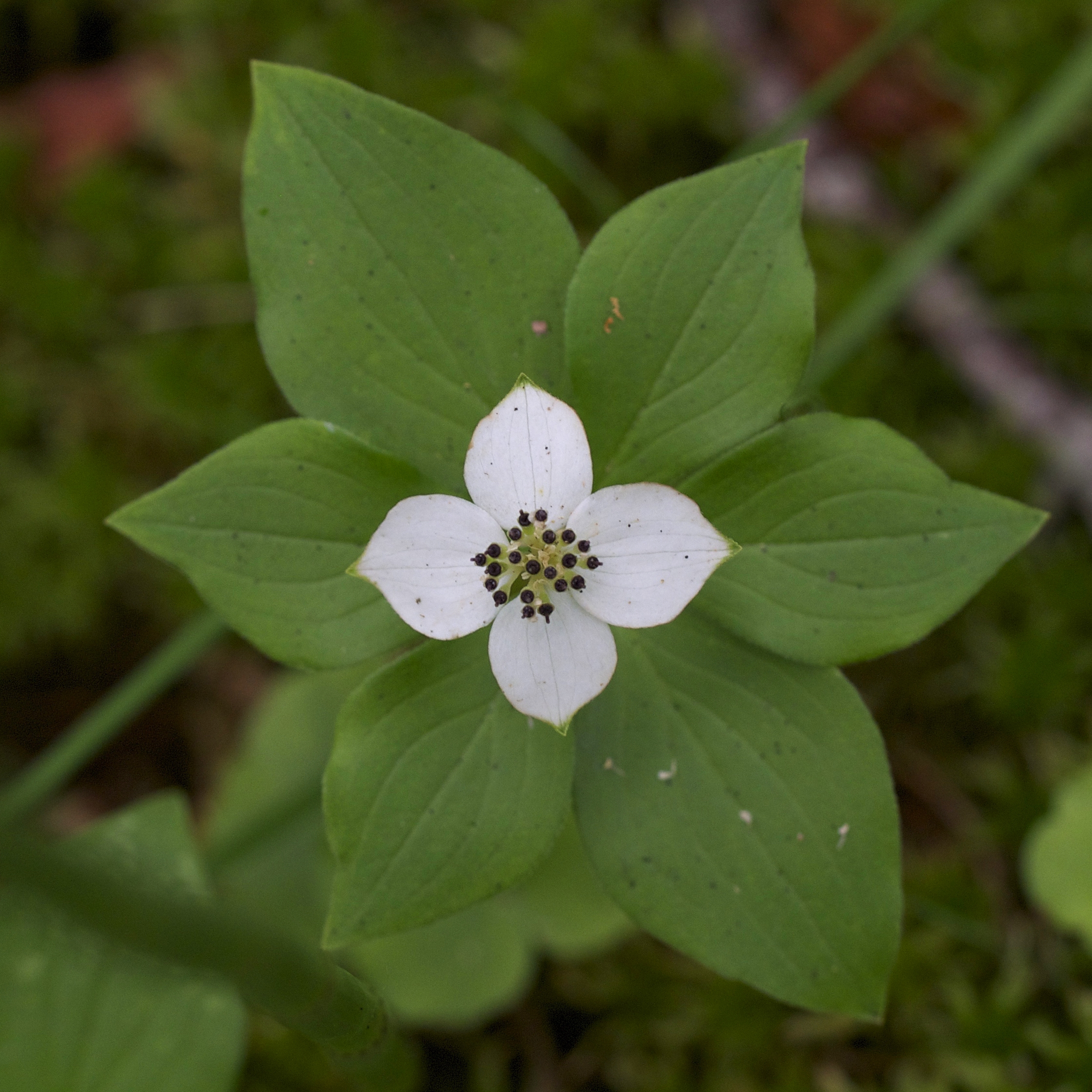
Cornus canadensis

Libellula luctuosa
Topographic Map of Mickinock Township, MN, USA
Find elevation by address:

Places in Mickinock Township, MN, USA:
Places near Mickinock Township, MN, USA:
Co Rd 20, Roseau, MN, USA
1088 Mn-11
Jadis Township
35613 Co Rd 16
Roseau County
Badger
N Main St, Badger, MN, USA
Main St N, Greenbush, MN, USA
Strathcona
Goodridge Township
Goodridge
Hill Ave, Middle River, MN, USA
Lincoln Ave, Newfolden, MN, USA
Co Rd 3, Oklee, MN, USA
15115 229th St Ne
Excel Township
New Maine Township
38 Woodland Dr, Menisino, MB R0A 1A0, Canada
W Bakke Ave, Newfolden, MN, USA
14548 360th St Nw
Recent Searches:
- Elevation of Corso Fratelli Cairoli, 35, Macerata MC, Italy
- Elevation of Tallevast Rd, Sarasota, FL, USA
- Elevation of 4th St E, Sonoma, CA, USA
- Elevation of Black Hollow Rd, Pennsdale, PA, USA
- Elevation of Oakland Ave, Williamsport, PA, USA
- Elevation of Pedrógão Grande, Portugal
- Elevation of Klee Dr, Martinsburg, WV, USA
- Elevation of Via Roma, Pieranica CR, Italy
- Elevation of Tavkvetili Mountain, Georgia
- Elevation of Hartfords Bluff Cir, Mt Pleasant, SC, USA