Elevation of Hill Ave, Middle River, MN, USA
Location: United States > Minnesota > Marshall County >
Longitude: -96.164471
Latitude: 48.4344539
Elevation: 348m / 1142feet
Barometric Pressure: 97KPa
Elevation Map:
Satellite Map:
Related Photos:

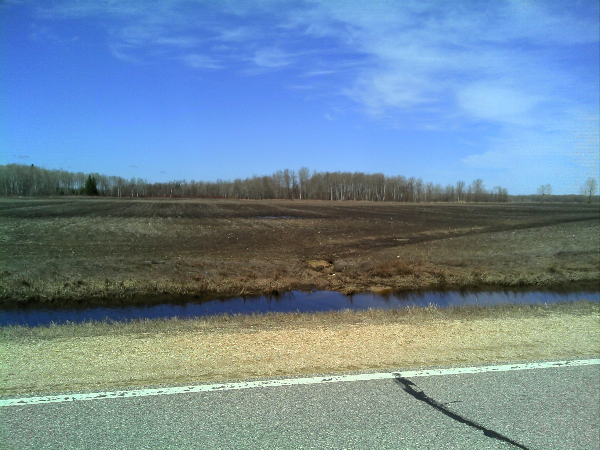
DSC03096
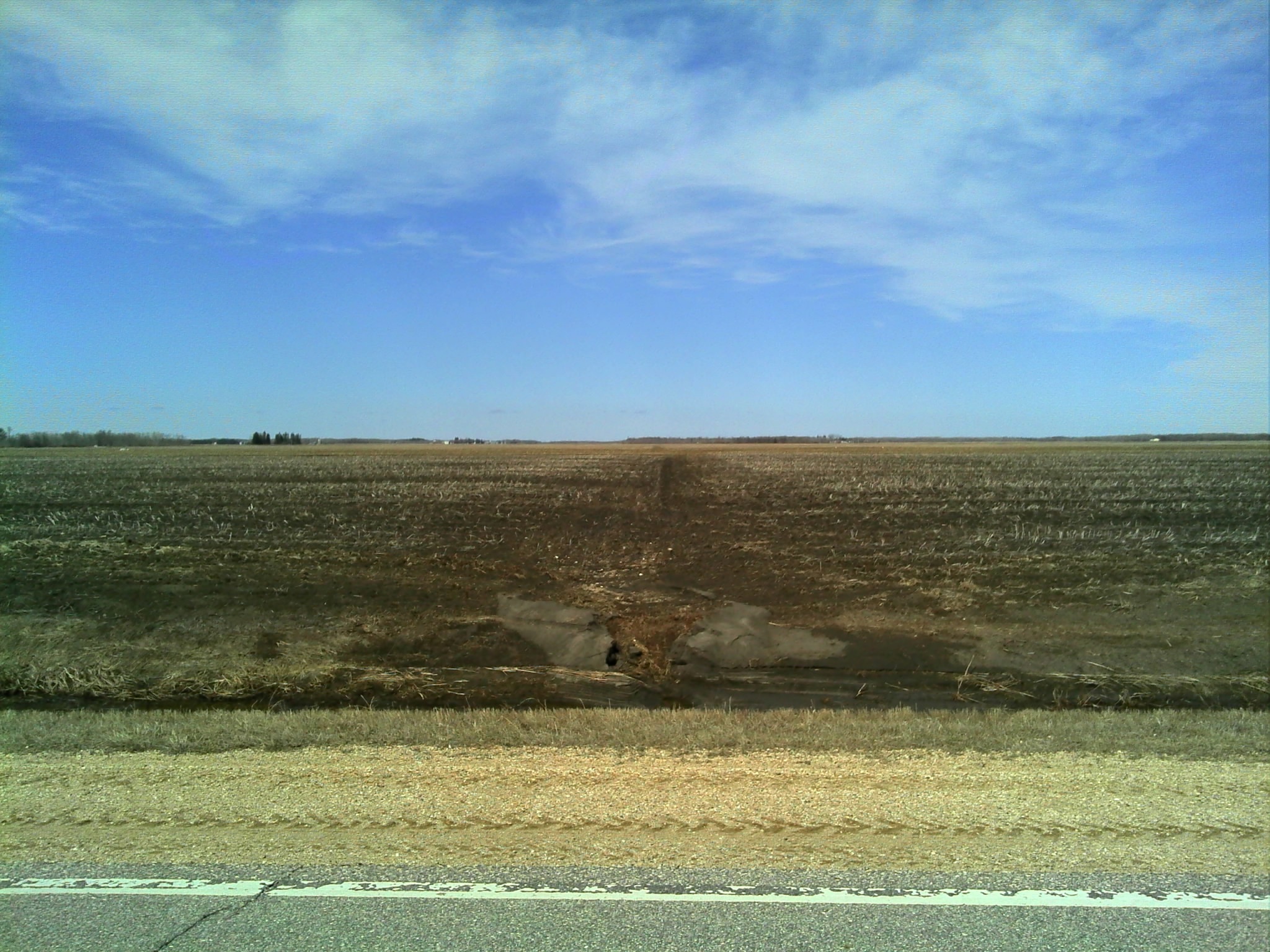
DSC00467

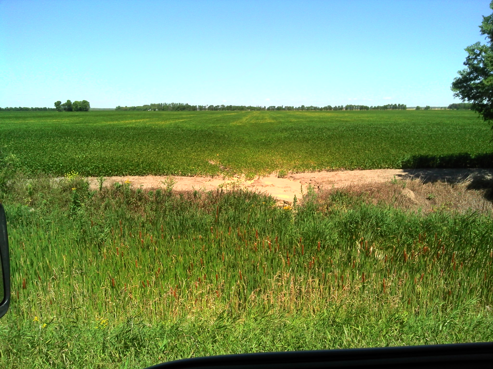
DSC01204
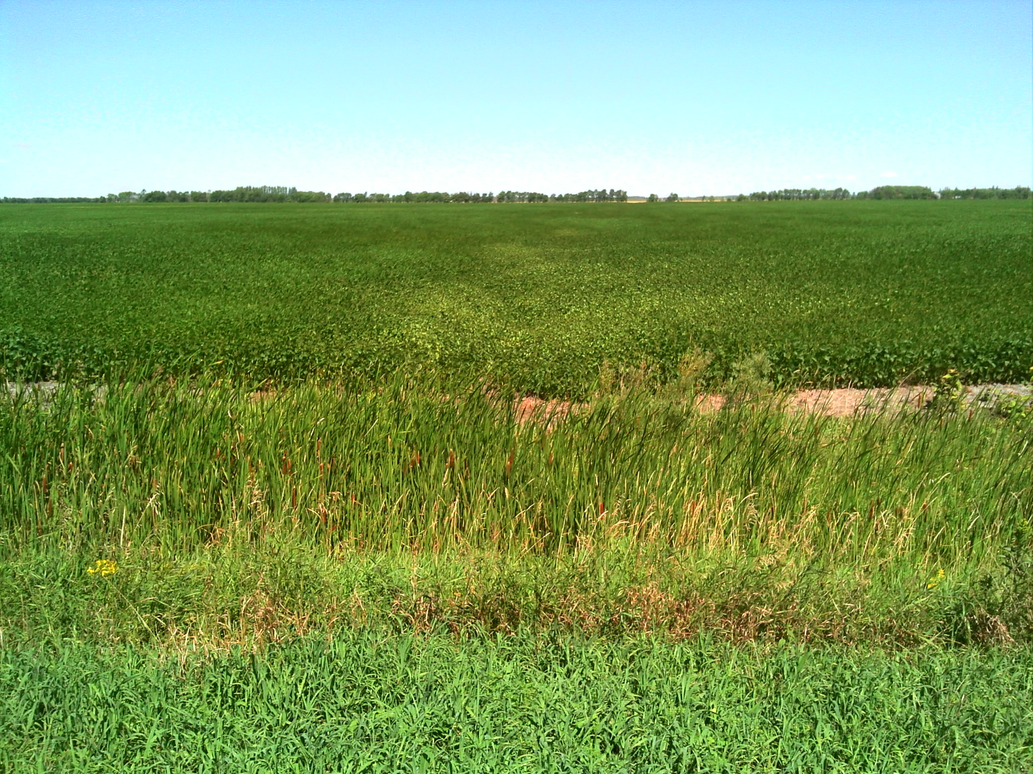
DSC00471

DSC00424

DSC03094
DSC00821

DSC03095

DSC00822
DSC00820
Topographic Map of Hill Ave, Middle River, MN, USA
Find elevation by address:

Places near Hill Ave, Middle River, MN, USA:
Strathcona
Lincoln Ave, Newfolden, MN, USA
New Maine Township
W Bakke Ave, Newfolden, MN, USA
14548 360th St Nw
Excel Township
15115 229th St Ne
Main St N, Greenbush, MN, USA
1st Ave, Strandquist, MN, USA
Strandquist
th St NW, Newfolden, MN, USA
Thief River Falls
201 Main Ave S
Thief River Falls, MN, USA
Viking
Main St, Viking, MN, USA
Evergreen St, Thief River Falls, MN, USA
16081 Center Ave N
Roseau County
3001 Sanford Parkway
Recent Searches:
- Elevation of Corso Fratelli Cairoli, 35, Macerata MC, Italy
- Elevation of Tallevast Rd, Sarasota, FL, USA
- Elevation of 4th St E, Sonoma, CA, USA
- Elevation of Black Hollow Rd, Pennsdale, PA, USA
- Elevation of Oakland Ave, Williamsport, PA, USA
- Elevation of Pedrógão Grande, Portugal
- Elevation of Klee Dr, Martinsburg, WV, USA
- Elevation of Via Roma, Pieranica CR, Italy
- Elevation of Tavkvetili Mountain, Georgia
- Elevation of Hartfords Bluff Cir, Mt Pleasant, SC, USA