Elevation of Meyer Lake Rd, Butternut, WI, USA
Location: United States > Wisconsin > Ashland County > Peeksville >
Longitude: -90.530282
Latitude: 46.100296
Elevation: 473m / 1552feet
Barometric Pressure: 96KPa
Elevation Map:
Satellite Map:
Related Photos:

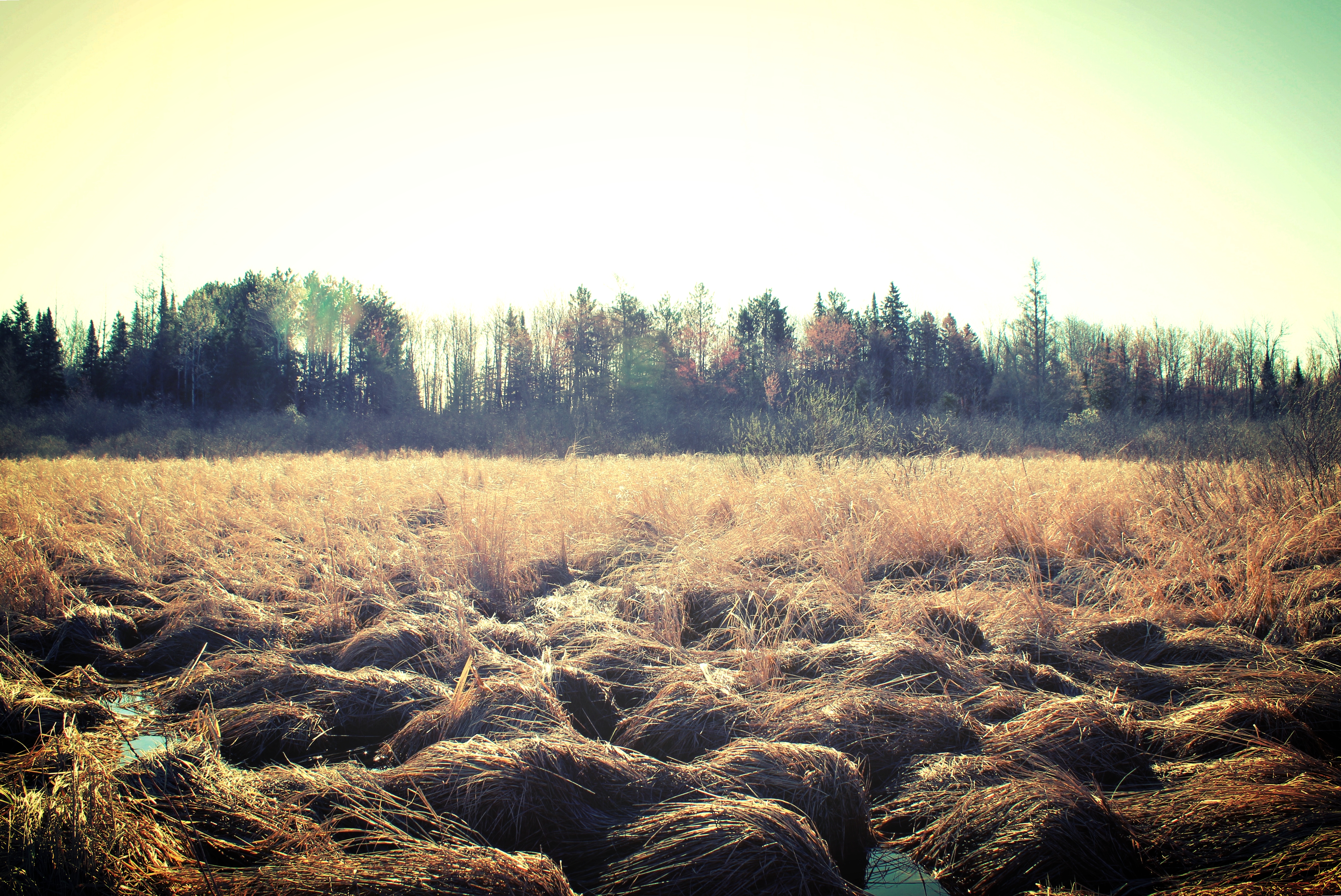
Reflections of Better Days
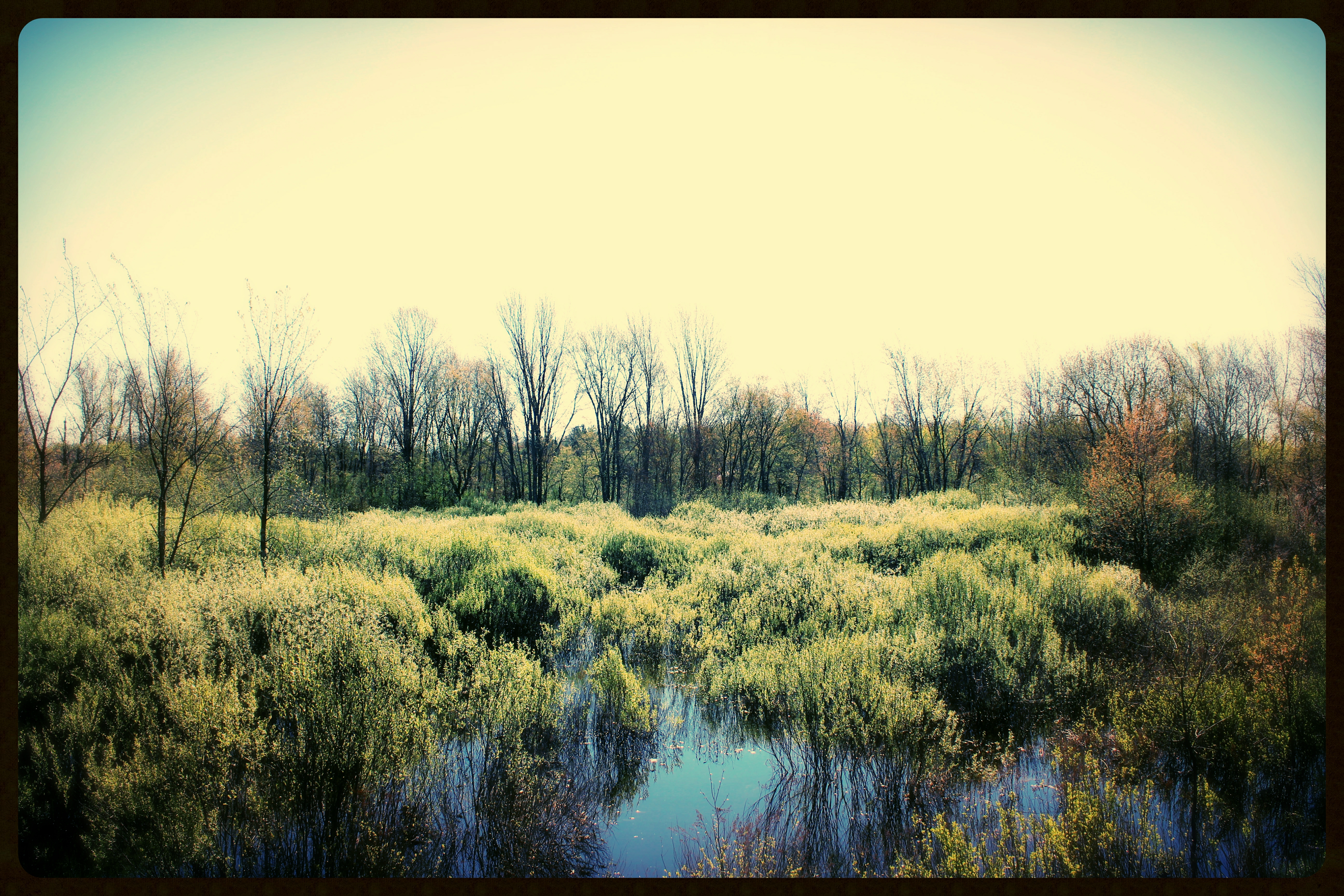
May 11 - Smith Creek bog at Kaley Rd, N of Park Falls, WI
May 25 - Chippewa River E Fork flooding in Glidden, WI
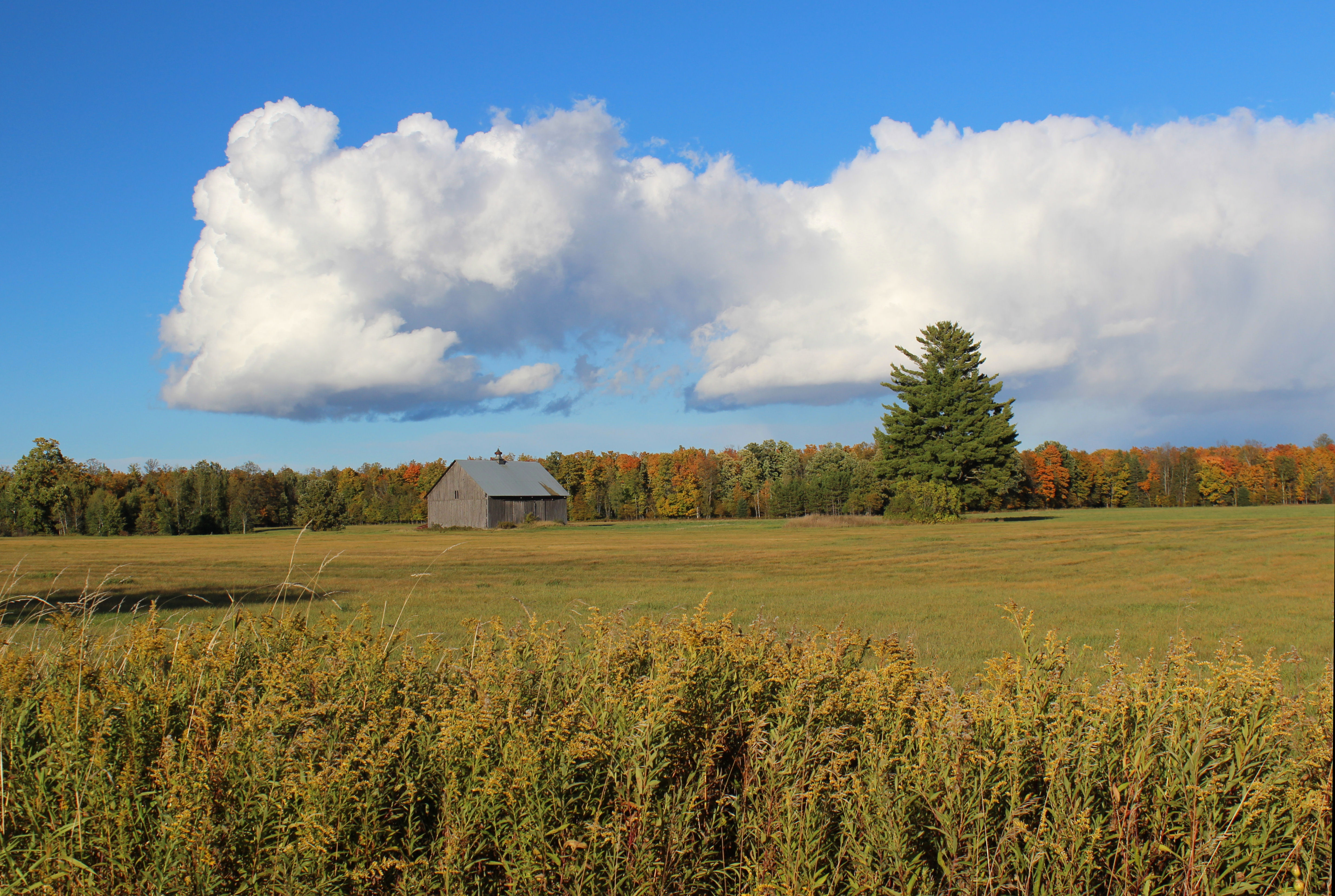
Barn on Hy F - Pete's Landing, WI

St. Patrick's Day Northern Lights
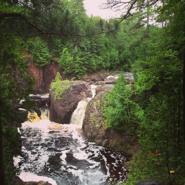
Copper Falls

May 24 - Duck House caught between worlds on Chippewa River E Fork, S of Glidden, WI
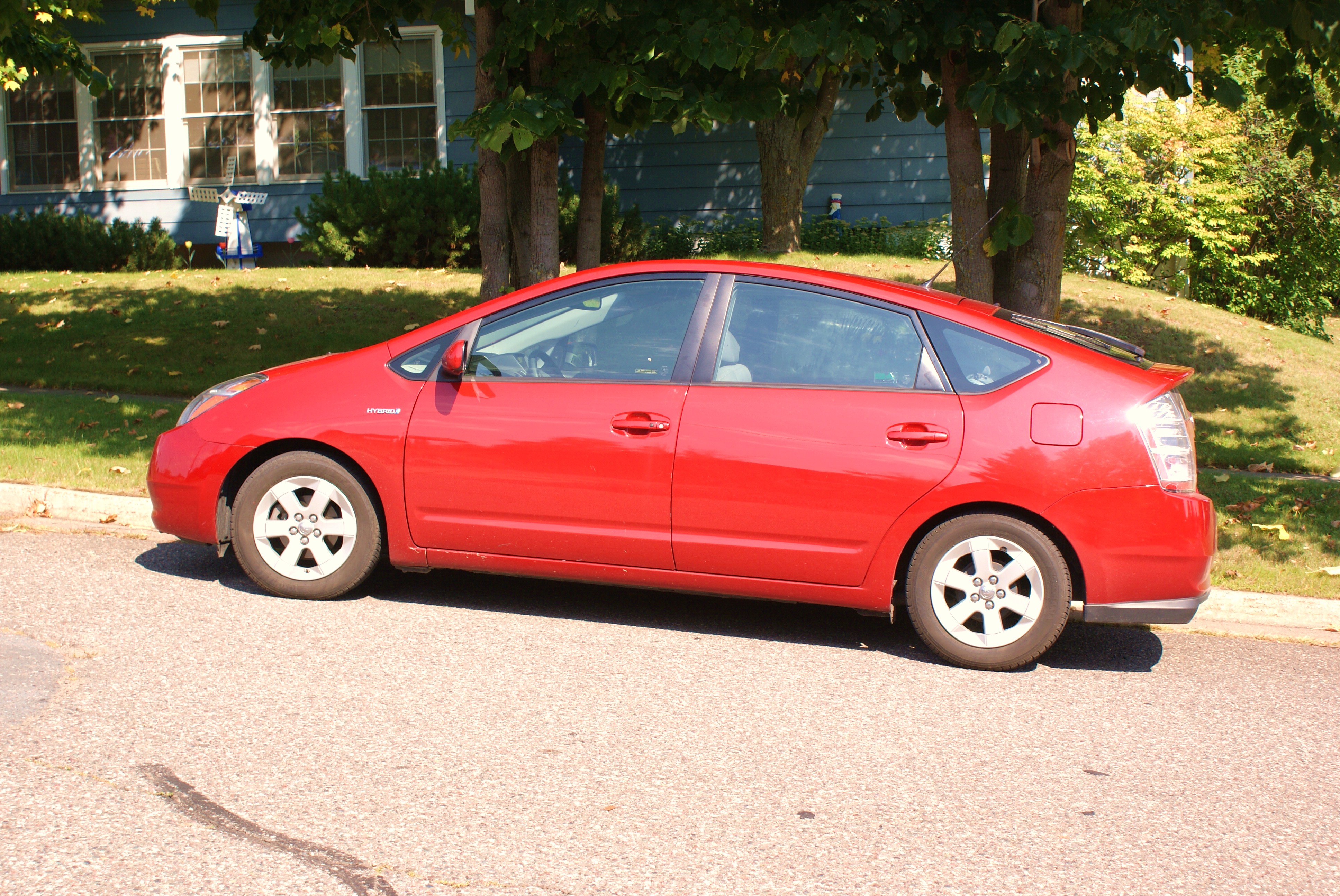
my pretty prius in butternut wisconsin
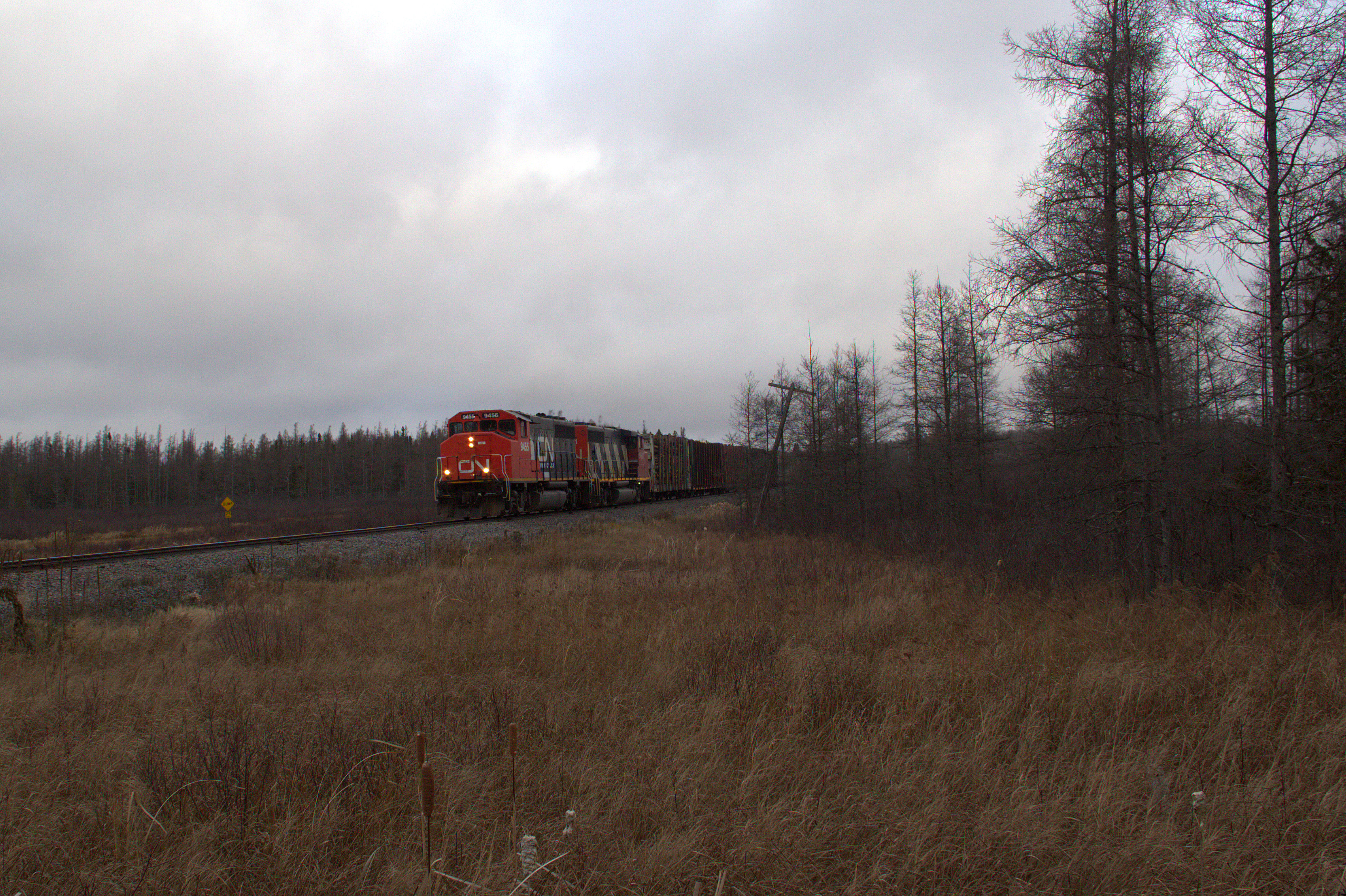
Earthquake!
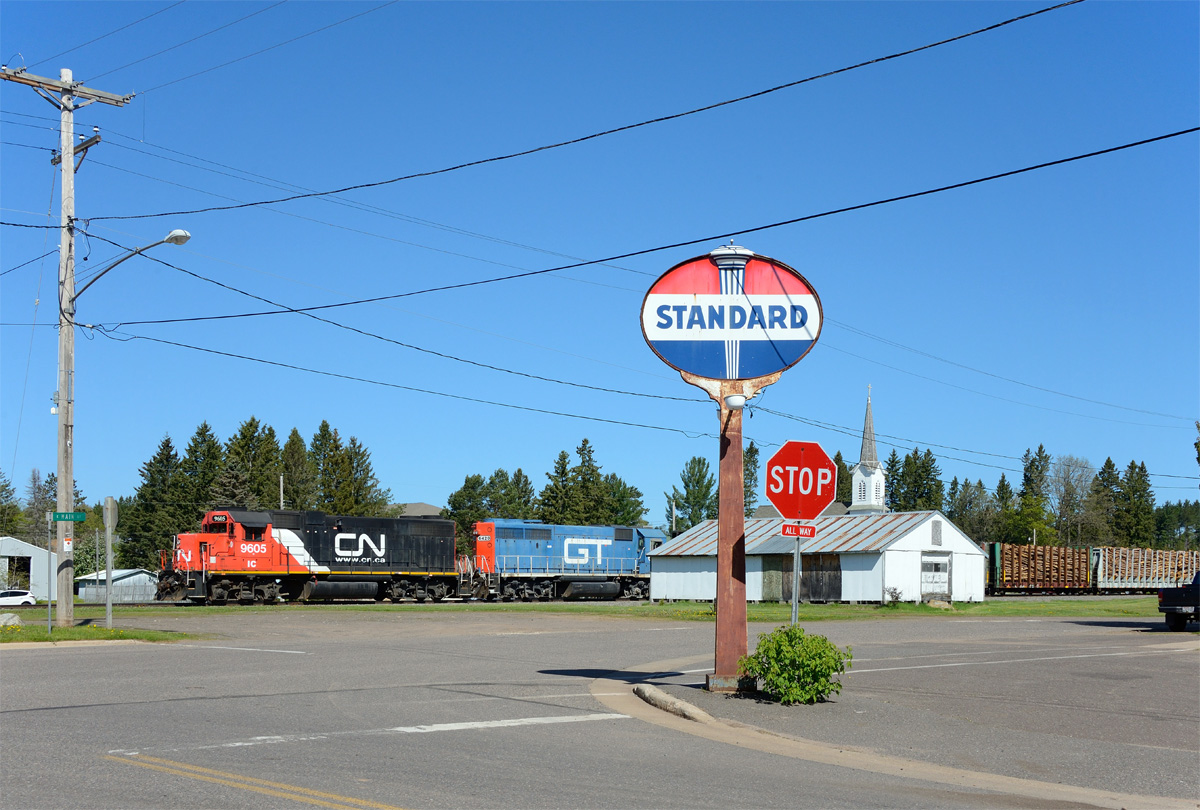
Butternut Standard

Butternut Pair-A-Dice

Butternut, WI 54514

Hayward, WI to Boulder Junction, WI

Hayward, WI to Boulder Junction, WI

Glidden, WI

Glidden, WI

Town Hall
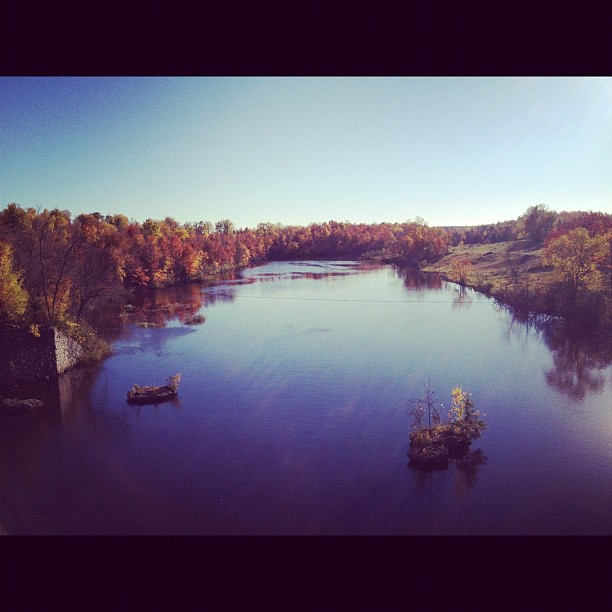
A weekend well spent

Butternut, Wi

Dark Was The Night, Cold Was The Ground

'Stang
Topographic Map of Meyer Lake Rd, Butternut, WI, USA
Find elevation by address:

Places near Meyer Lake Rd, Butternut, WI, USA:
Peeksville
Glidden
21123 Kempf Rd
Jacobs
Butternut
Mertig Rd, Glidden, WI, USA
Gordon Lake
Morse
Morse Rd, Glidden, WI, USA
Agenda
N15537
Co Rd F, Butternut, WI, USA
Gordon
Mount Whittlesey
Anderson
Lake Dr, Mellen, WI, USA
Mellen
Omearas Road South
Upson
Ashland
Recent Searches:
- Elevation of Corso Fratelli Cairoli, 35, Macerata MC, Italy
- Elevation of Tallevast Rd, Sarasota, FL, USA
- Elevation of 4th St E, Sonoma, CA, USA
- Elevation of Black Hollow Rd, Pennsdale, PA, USA
- Elevation of Oakland Ave, Williamsport, PA, USA
- Elevation of Pedrógão Grande, Portugal
- Elevation of Klee Dr, Martinsburg, WV, USA
- Elevation of Via Roma, Pieranica CR, Italy
- Elevation of Tavkvetili Mountain, Georgia
- Elevation of Hartfords Bluff Cir, Mt Pleasant, SC, USA