Elevation of Mettler Frontage Rd E, Bakersfield, CA, USA
Location: United States > California > Kern County > Bakersfield >
Longitude: -118.9701482
Latitude: 35.0661195
Elevation: 162m / 531feet
Barometric Pressure: 0KPa
Related Photos:
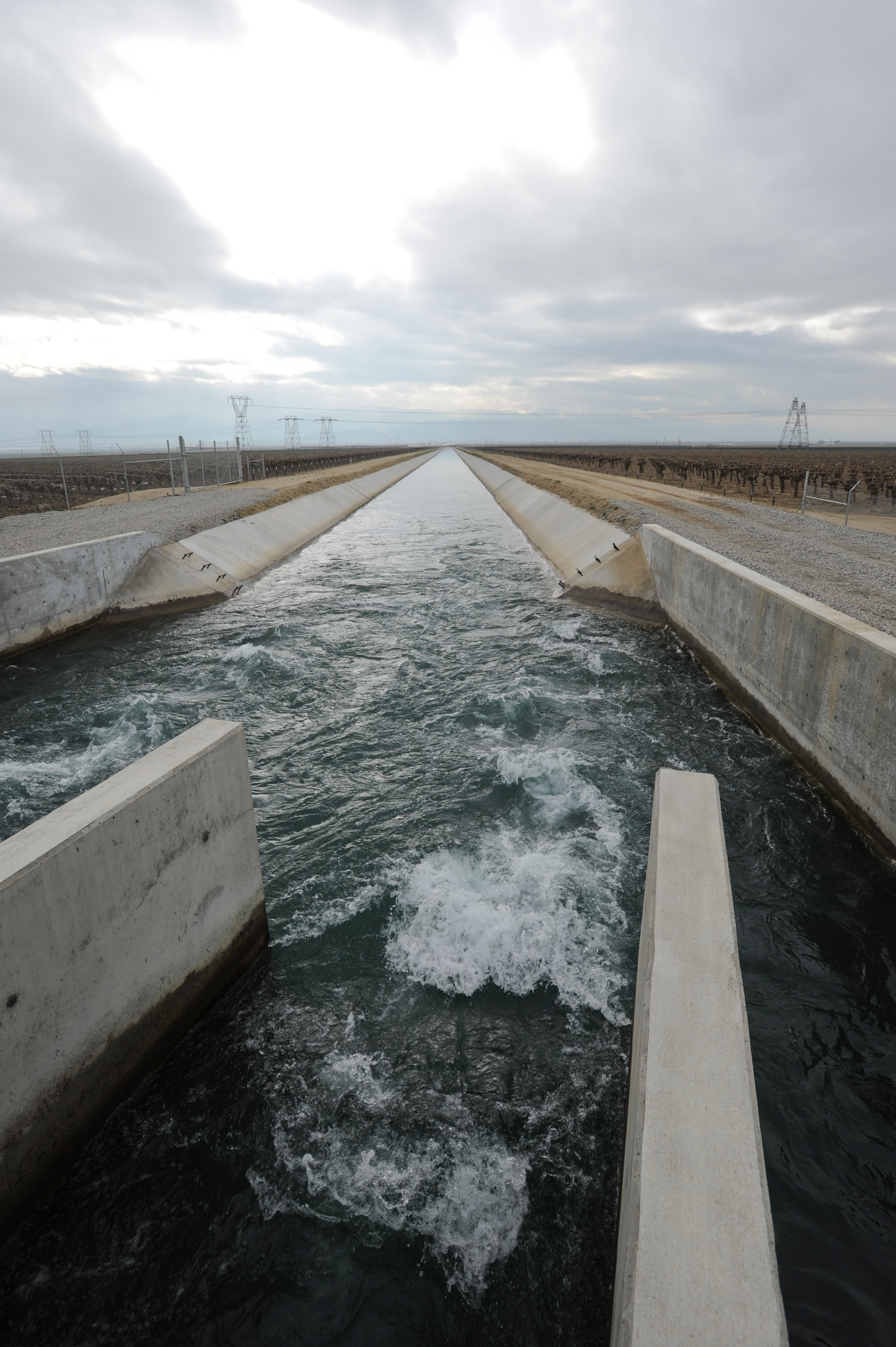
ballet of the toiling drones
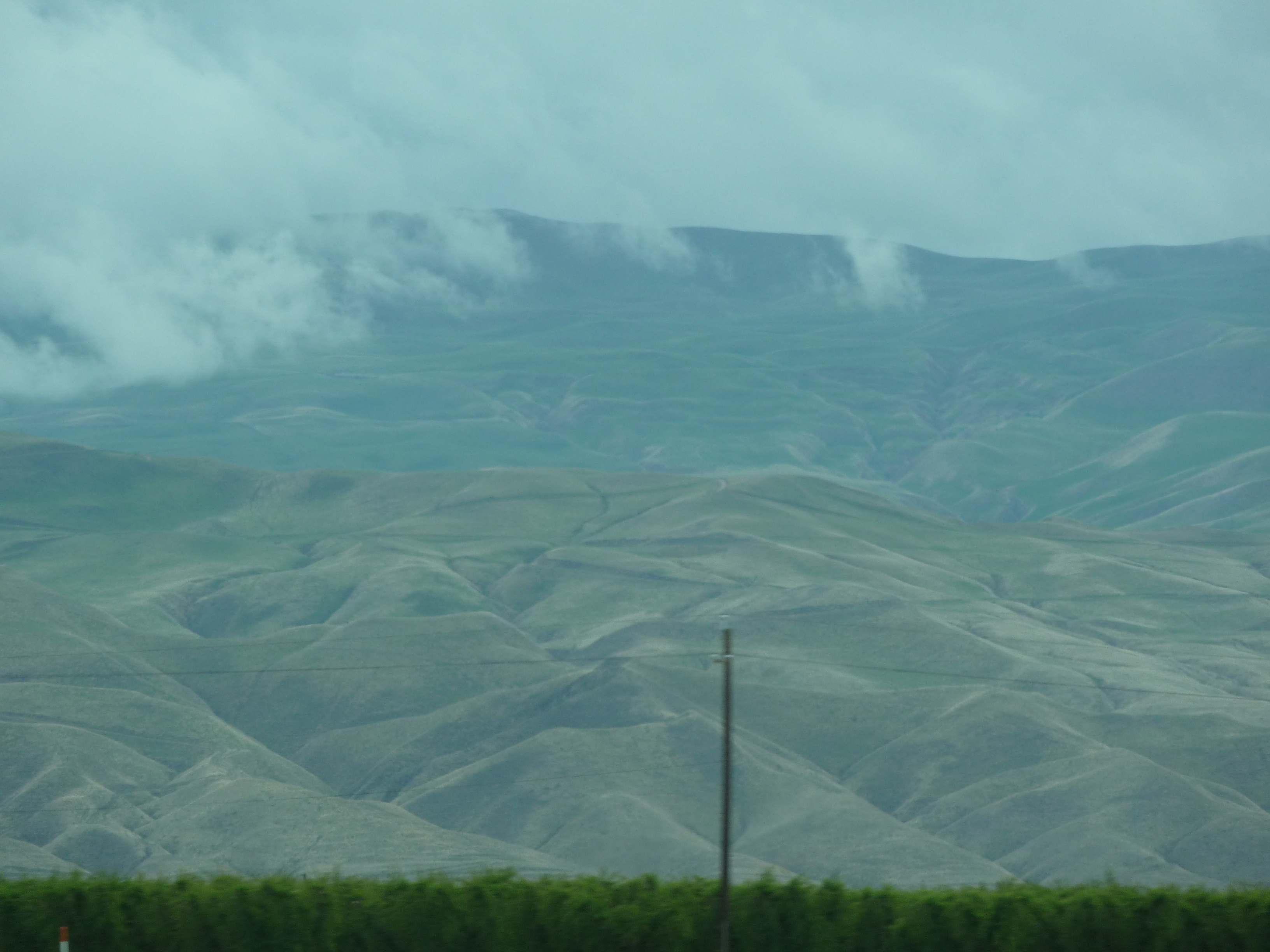
i5 views

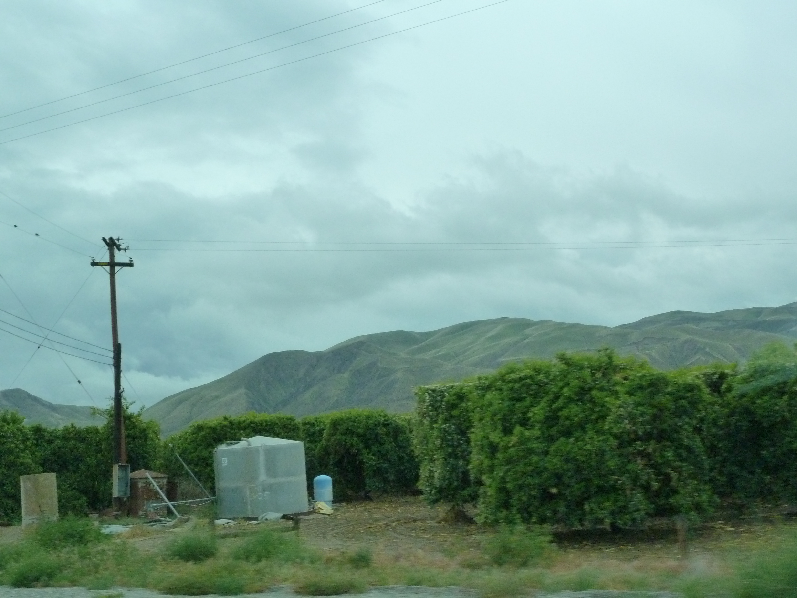
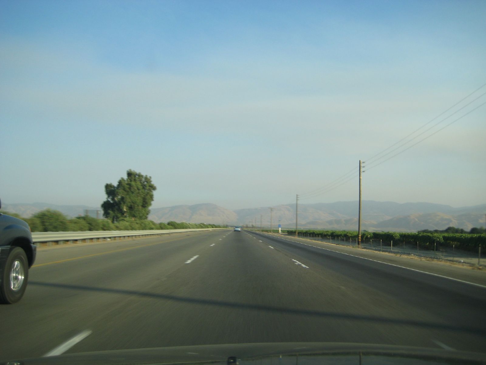
i5 views
i5 views

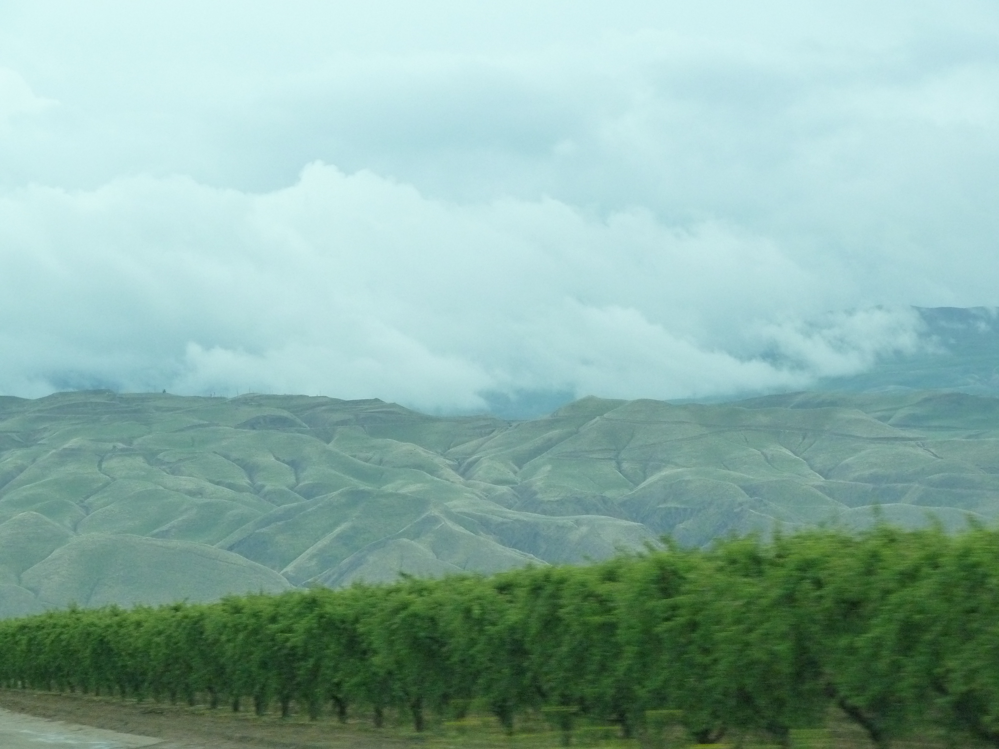
i5 views

view from the road
i5 views
i5 views
i5 views
i5 views
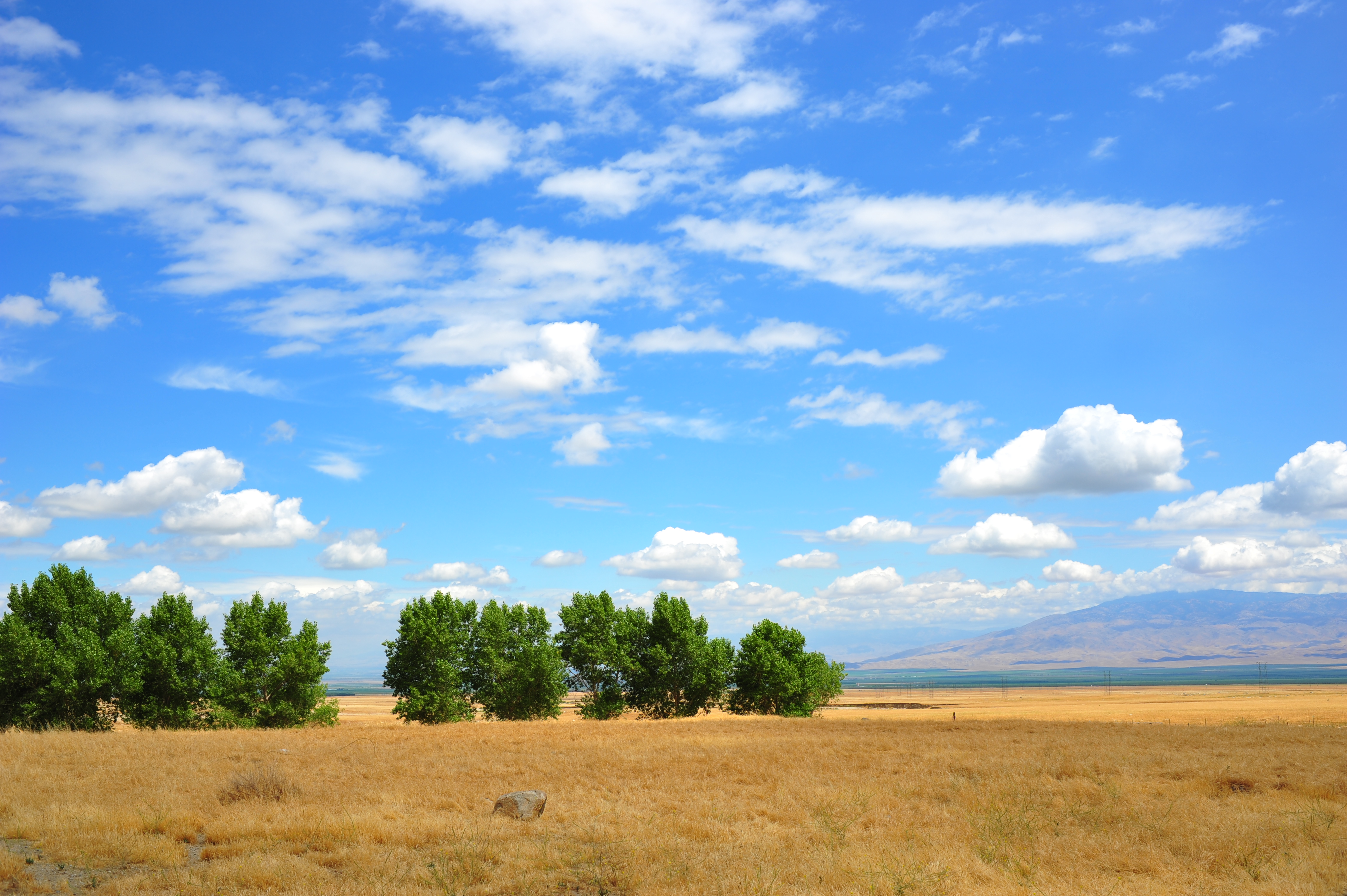
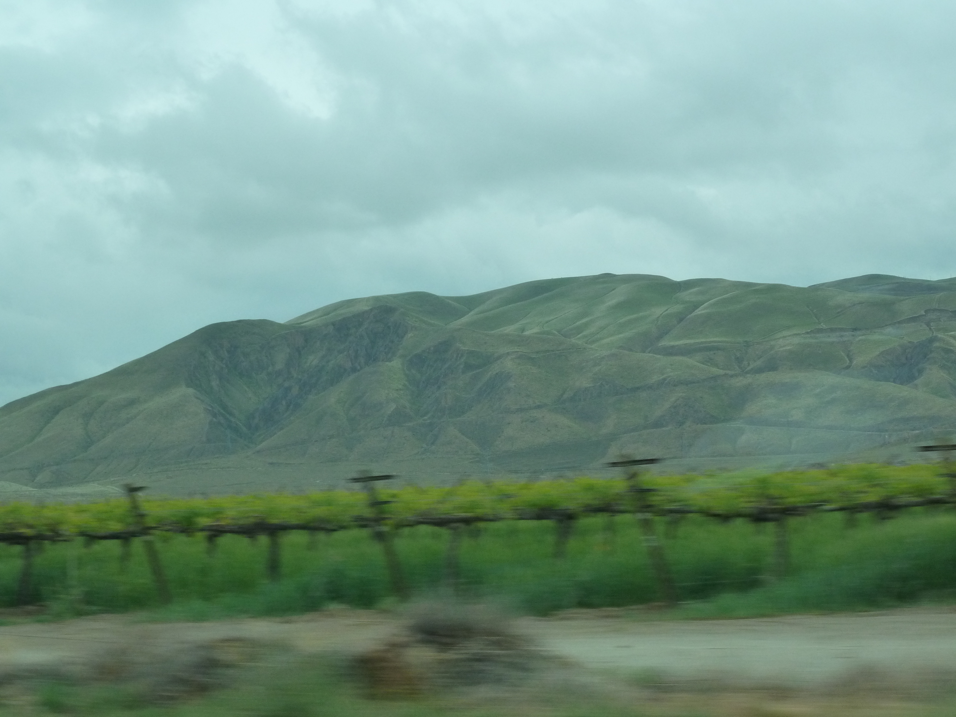
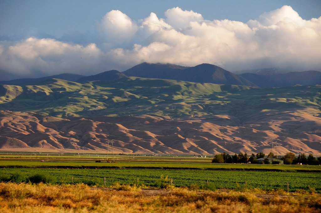
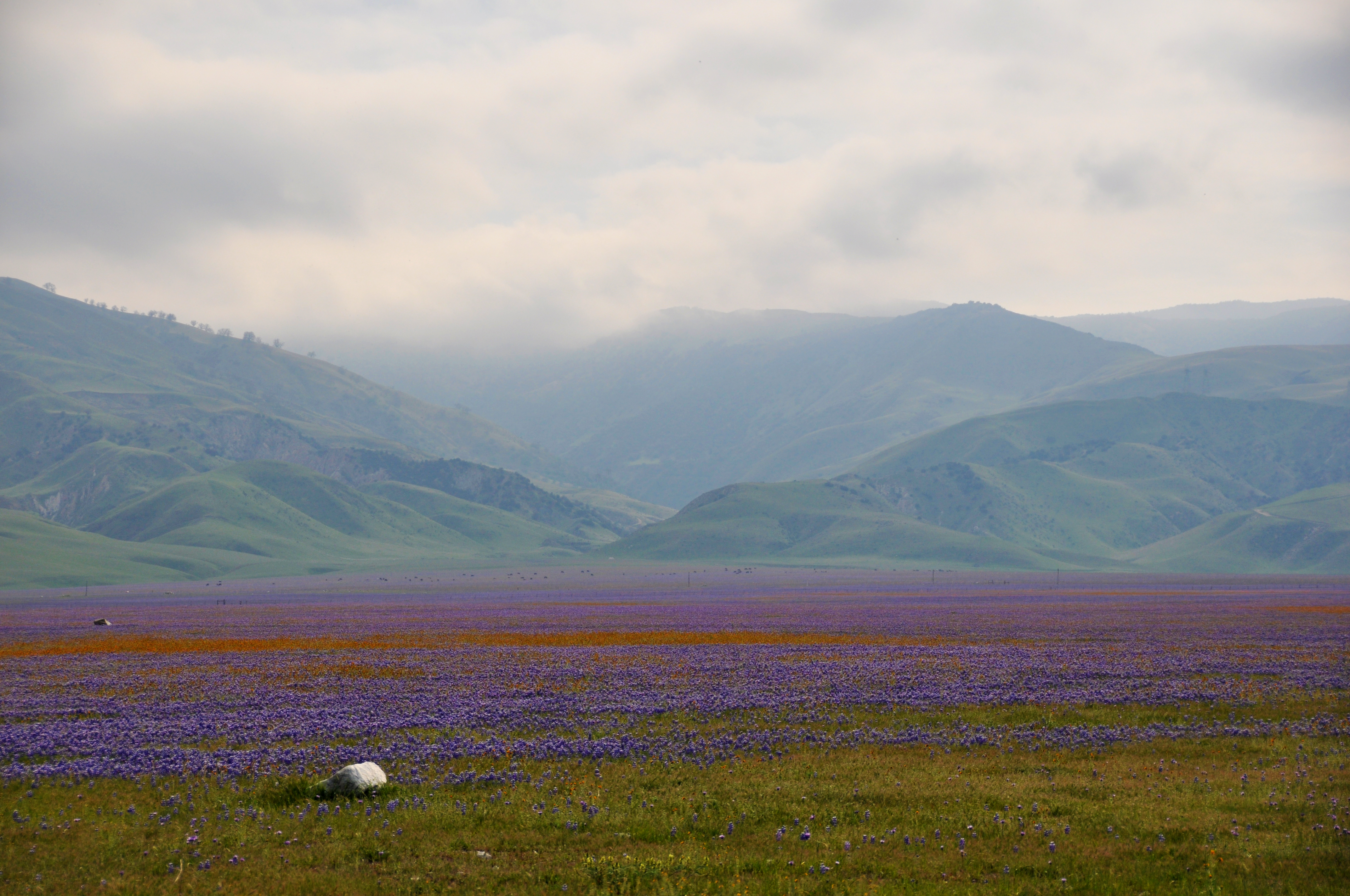
Open Plains
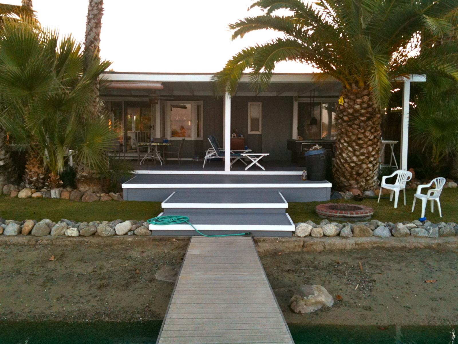
lake house
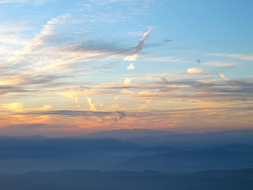
Contrails over California

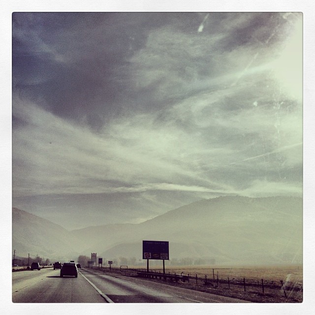
Pay attention, and you won't miss I-5... - Tuesday, December 23, 2008, 1 of 3
Pay attention, and you won't miss I-5... - Tuesday, December 23, 2008, 3 of 3
i5 views

Pay attention, and you won't miss I-5... - Tuesday, December 23, 2008, 2 of 3
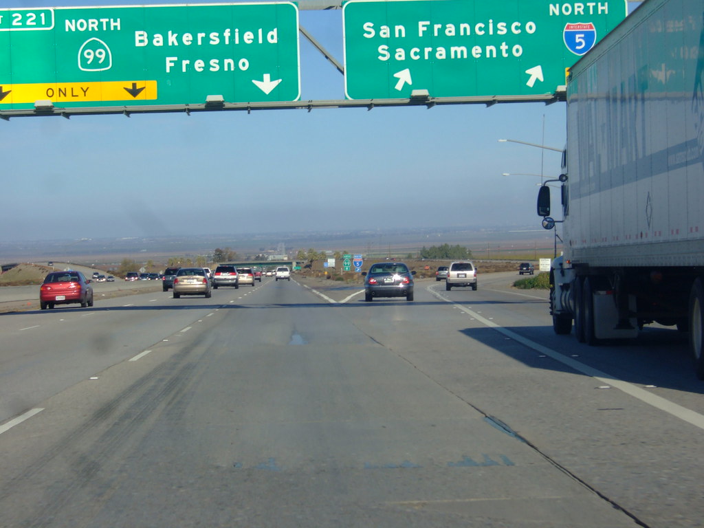
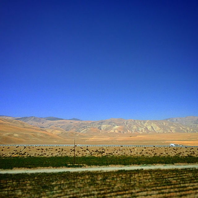
highway 99 south
i5 views
i5 views
i5 views
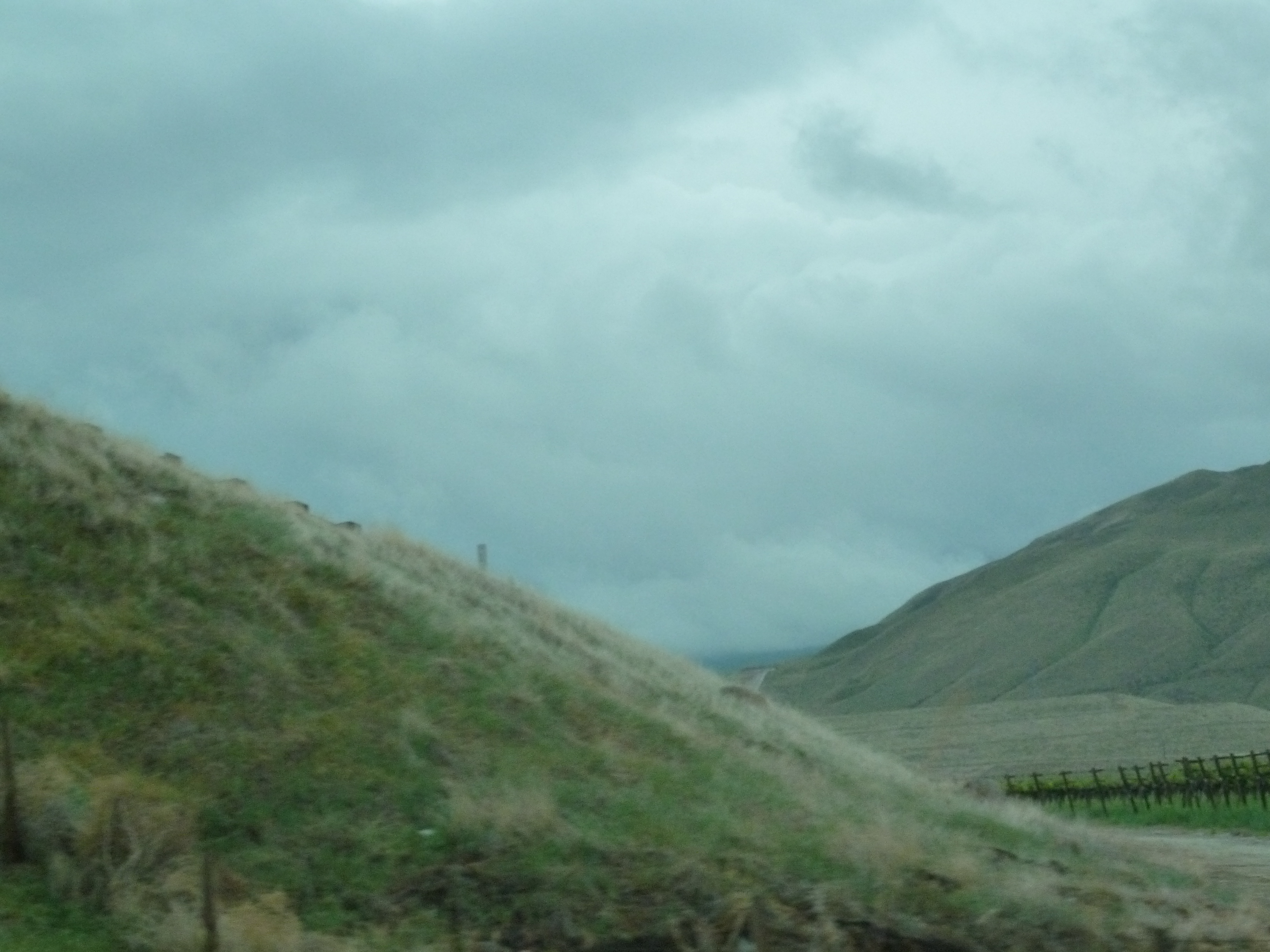
Hazy day to go up the Grapevine. #california #landscape #mountains
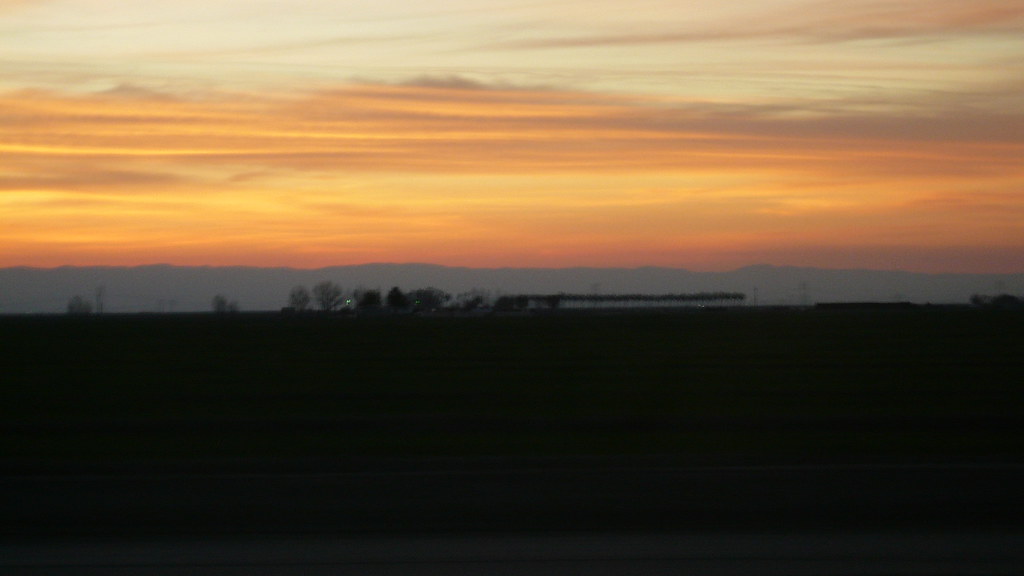
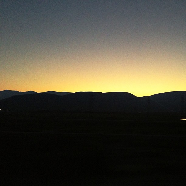
spring sunset
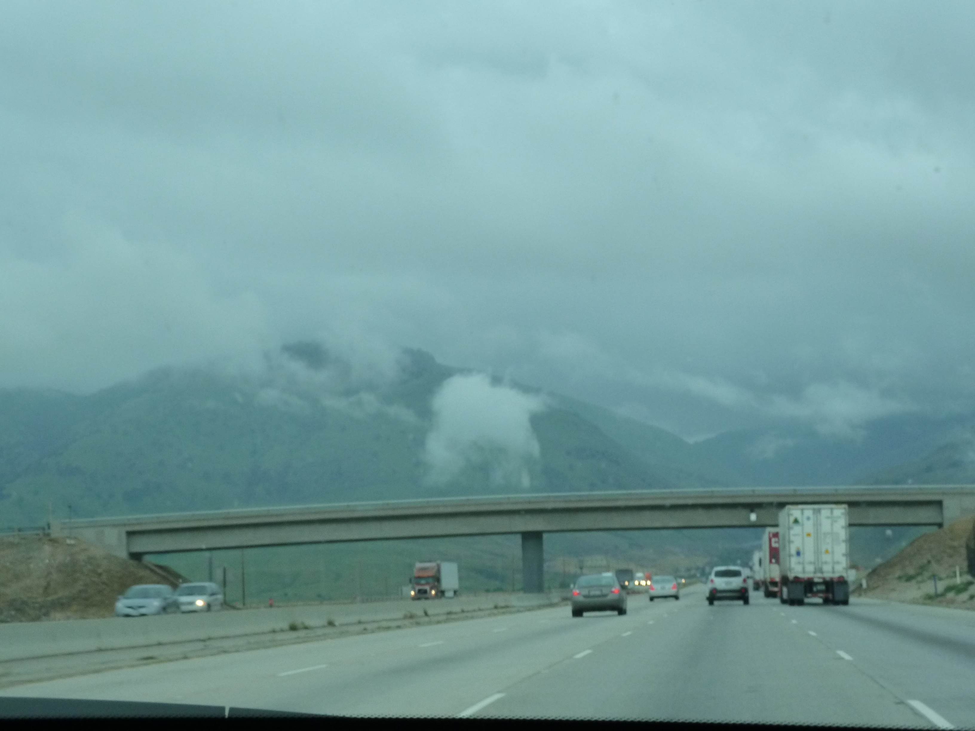
Almost in LA

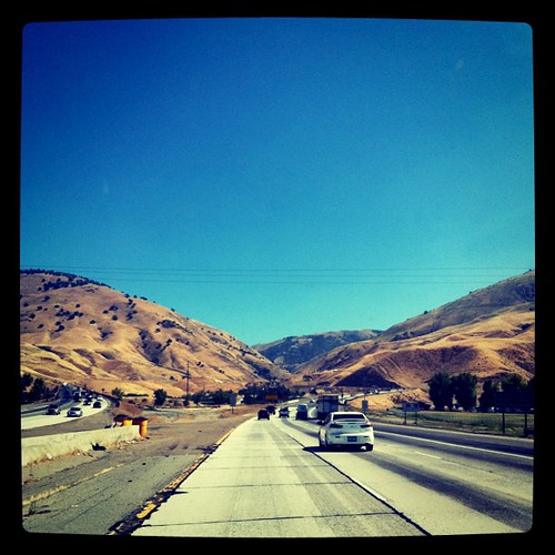
Grapevine, CA
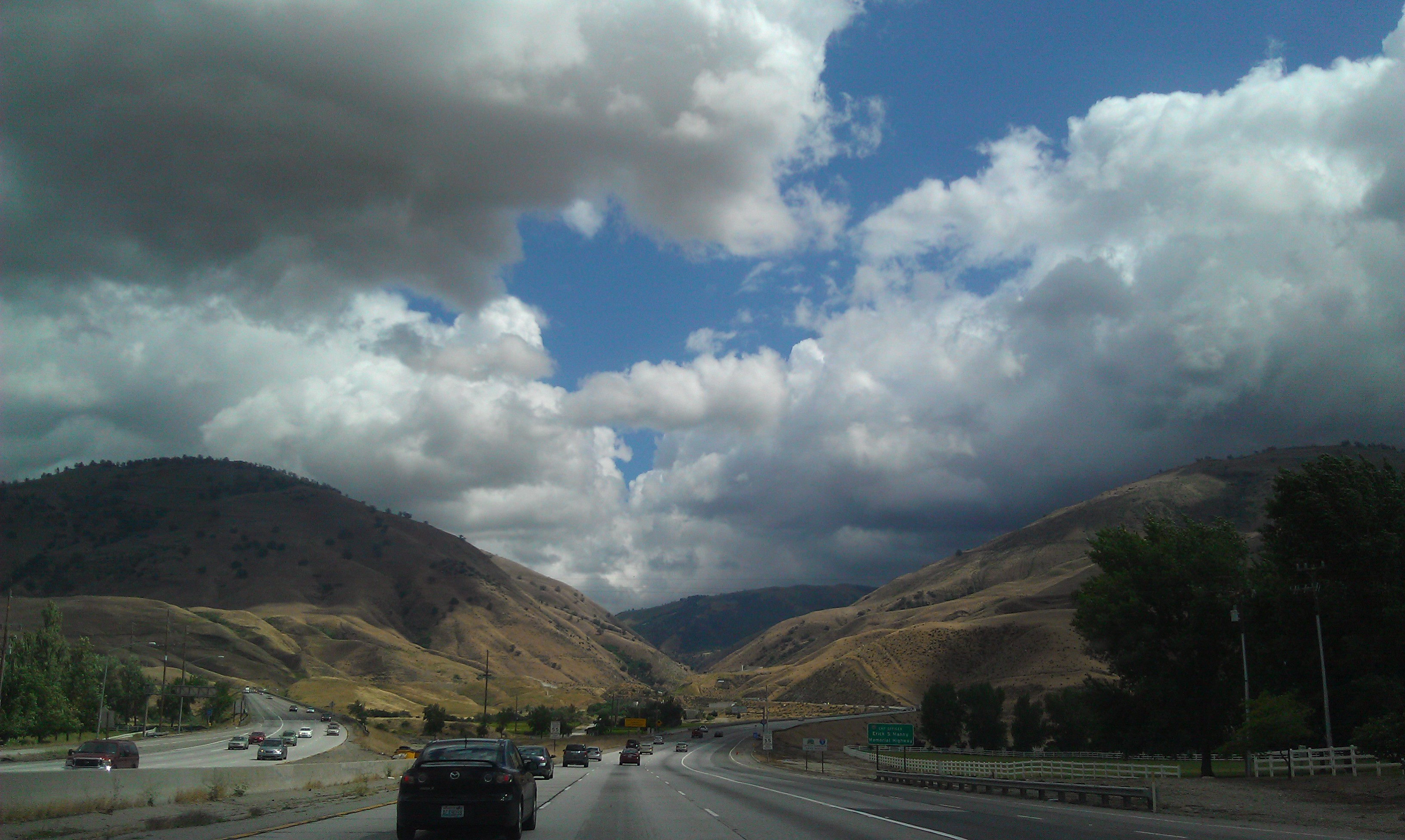
The Drive Home
DSC_4710 5116

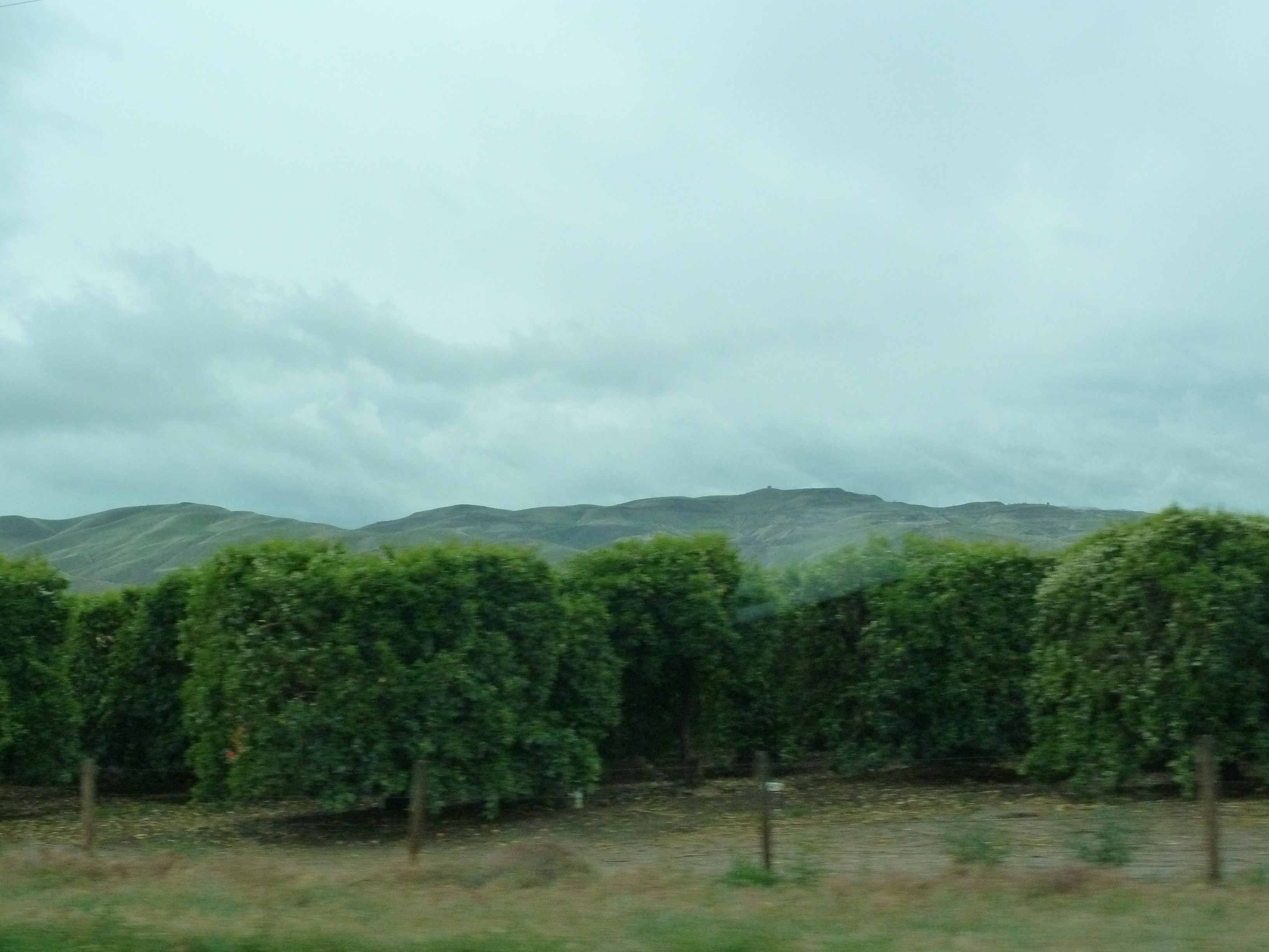
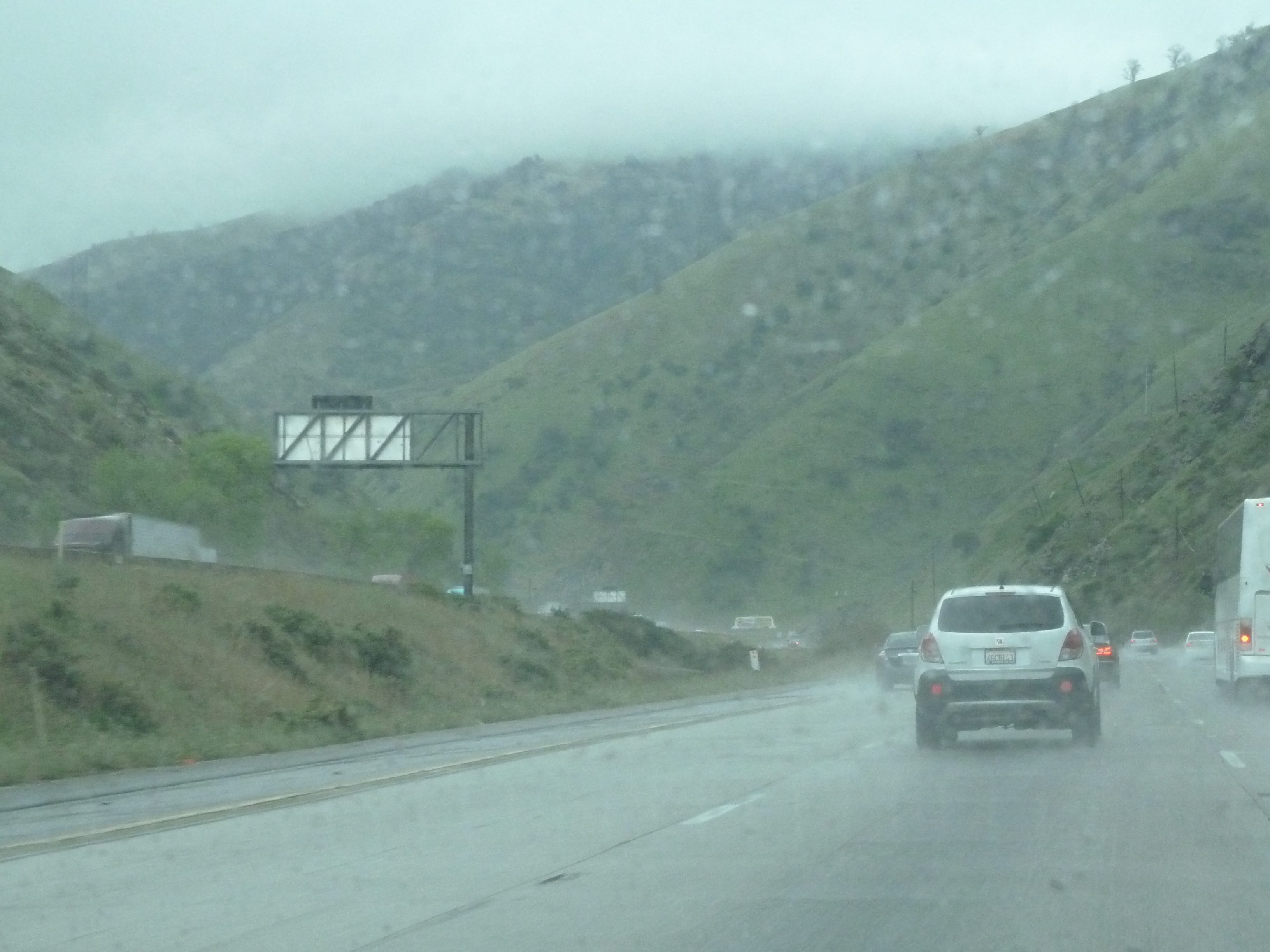
Early morning fog in Grapevine, Central Valley, CA

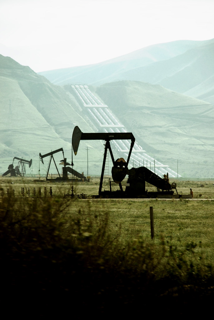
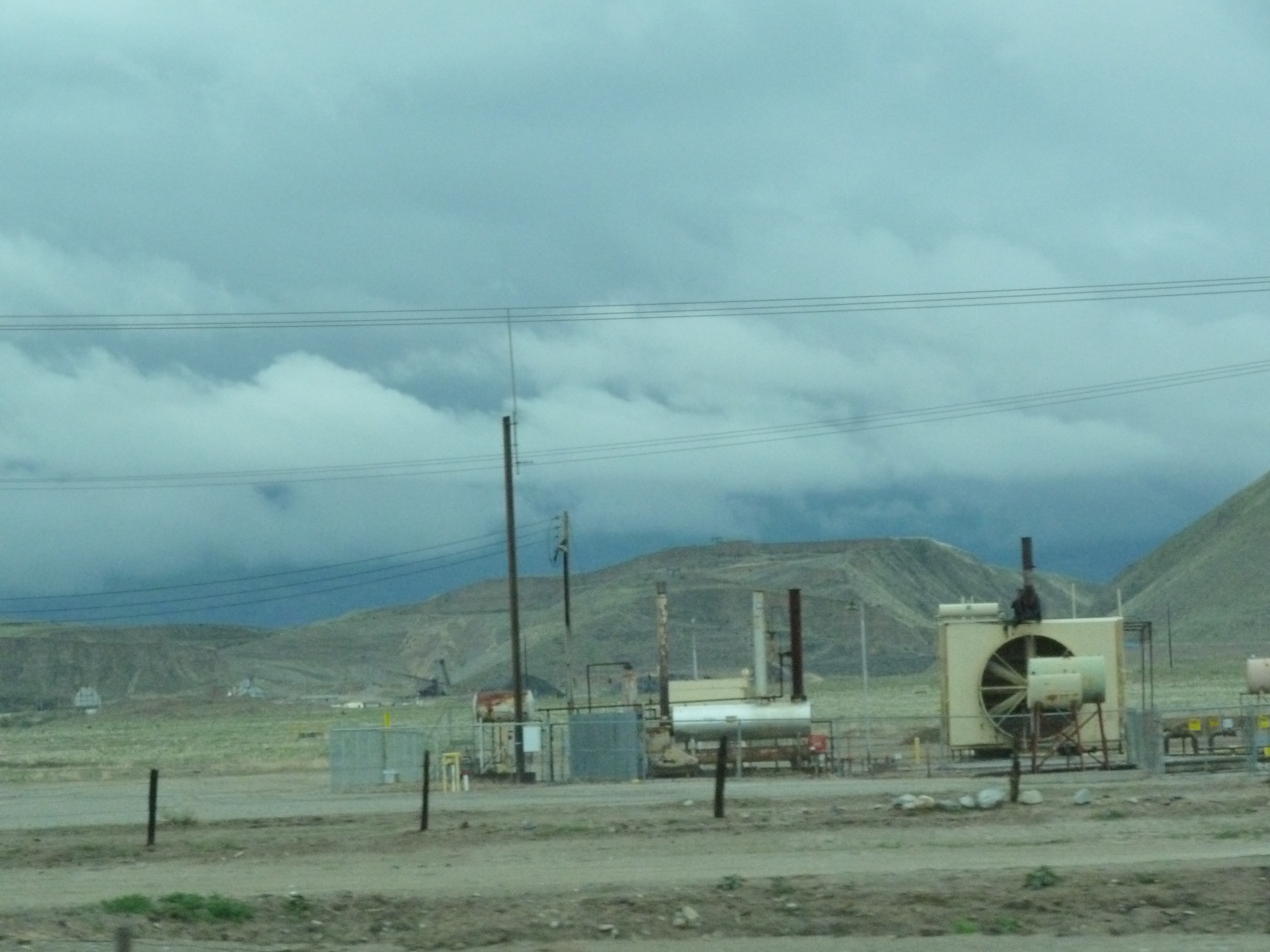
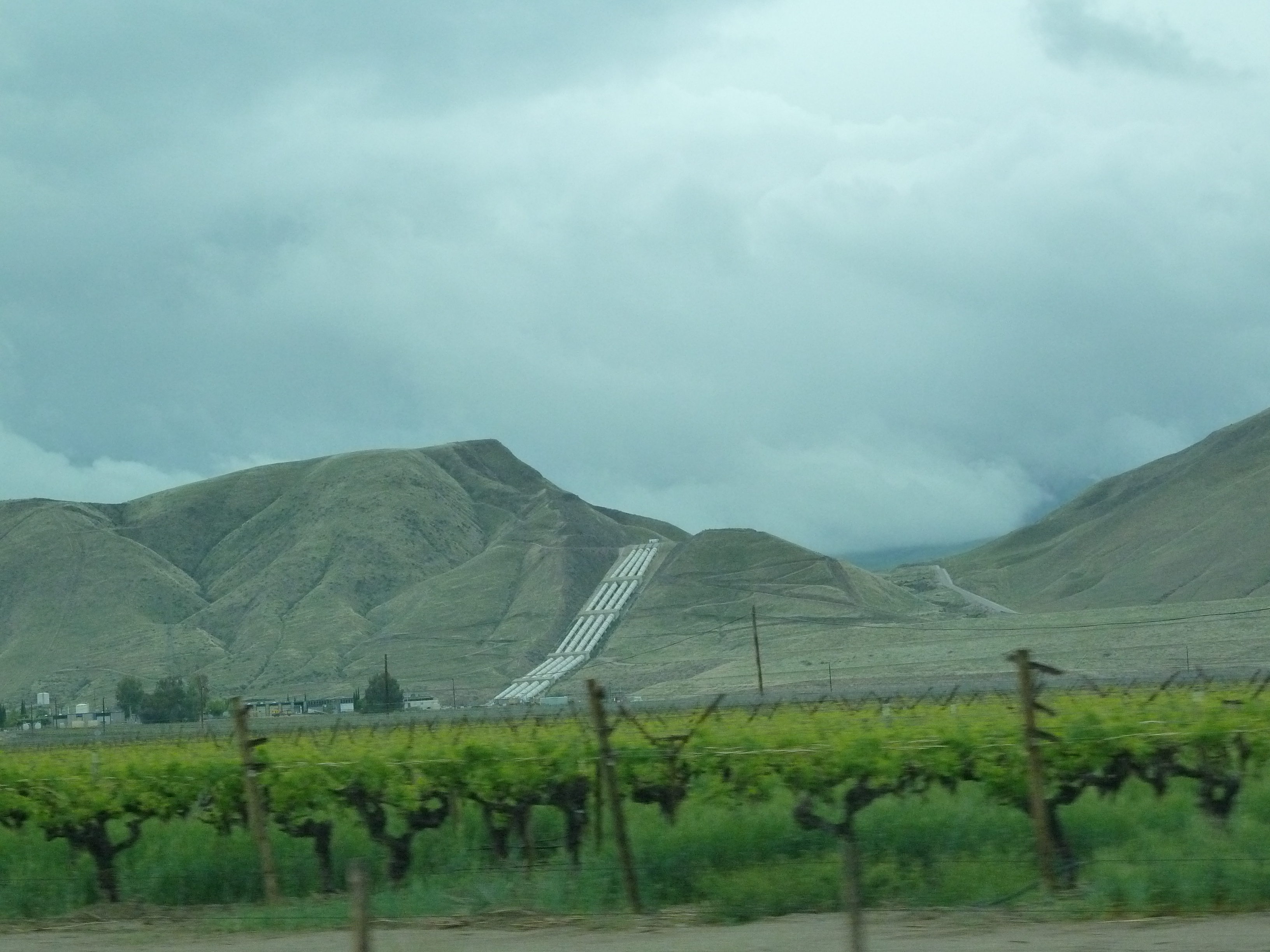
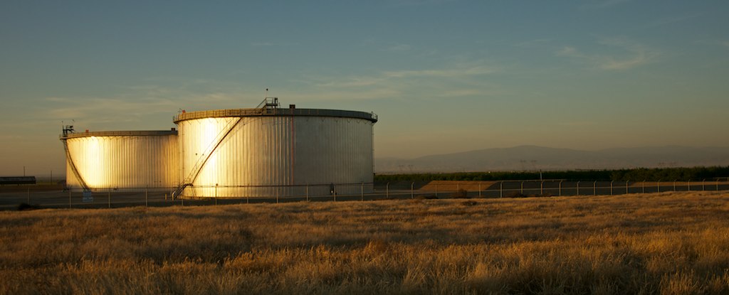
Oil well in Wheeler Ridge near Bakersfield
#enroute #grapevine #roadtrip
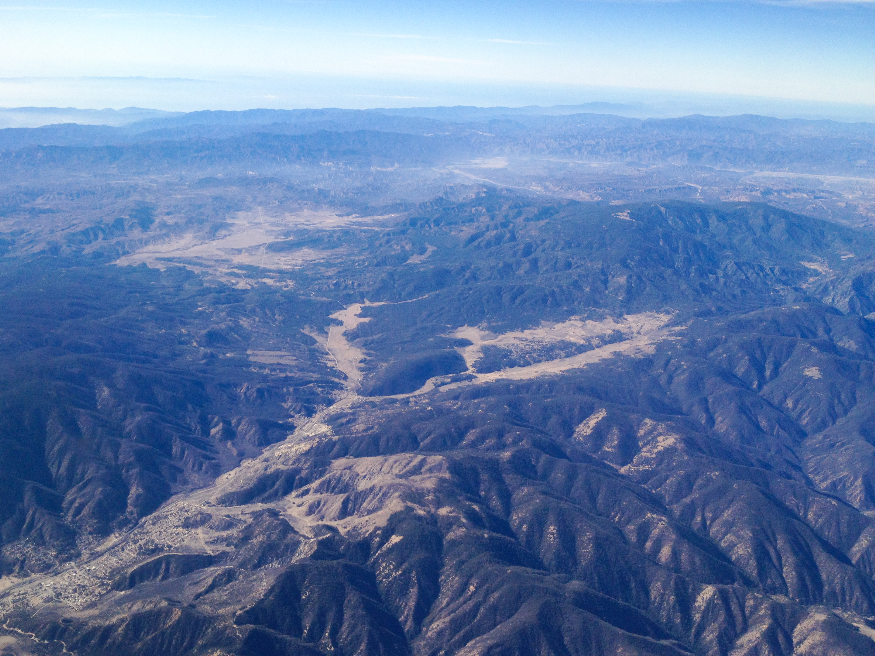
LAX->SEA 38 - Frazier Park and Lake of the Woods; Lockwood Valley Road goes south of the green bump in the middle of the photo while Cuddy Valley Road goes north.jpg
Sunset while driving on Highway 99/Interstate 5 South

Oil well in Wheeler Ridge near Bakersfield
2010.0224_JTP5456
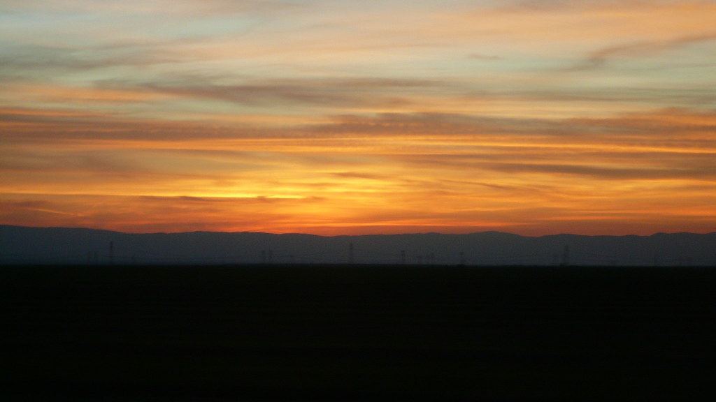
sunset behind the mountains
Sunset while driving on Highway 99/Interstate 5 South
Ft. Tejon, Ca
Topographic Map of Mettler Frontage Rd E, Bakersfield, CA, USA
Find elevation by address:

Places near Mettler Frontage Rd E, Bakersfield, CA, USA:
8112 Copus Rd
Dennis McCarthy Dr, Lebec, CA, USA
Wheeler Ridge
Grapevine
Grapevine Rd E, Lebec, CA, USA
Tejon Ranch
Fort Tejon State Historic Park
Tecuya Mountain
800 Canyon Dr
Eagle Rest Peak
Antimony Peak
West End Drive
West End Drive
Willow Trail
Frazier Park
3341 Los Padres Dr
Cuddy Valley
Encino Trail
Lebec
Coldwater Dr, Frazier Park, CA, USA
Recent Searches:
- Elevation map of Greenland, Greenland
- Elevation of Sullivan Hill, New York, New York, 10002, USA
- Elevation of Morehead Road, Withrow Downs, Charlotte, Mecklenburg County, North Carolina, 28262, USA
- Elevation of 2800, Morehead Road, Withrow Downs, Charlotte, Mecklenburg County, North Carolina, 28262, USA
- Elevation of Yangbi Yi Autonomous County, Yunnan, China
- Elevation of Pingpo, Yangbi Yi Autonomous County, Yunnan, China
- Elevation of Mount Malong, Pingpo, Yangbi Yi Autonomous County, Yunnan, China
- Elevation map of Yongping County, Yunnan, China
- Elevation of North 8th Street, Palatka, Putnam County, Florida, 32177, USA
- Elevation of 107, Big Apple Road, East Palatka, Putnam County, Florida, 32131, USA
- Elevation of Jiezi, Chongzhou City, Sichuan, China
- Elevation of Chongzhou City, Sichuan, China
- Elevation of Huaiyuan, Chongzhou City, Sichuan, China
- Elevation of Qingxia, Chengdu, Sichuan, China
- Elevation of Corso Fratelli Cairoli, 35, Macerata MC, Italy
- Elevation of Tallevast Rd, Sarasota, FL, USA
- Elevation of 4th St E, Sonoma, CA, USA
- Elevation of Black Hollow Rd, Pennsdale, PA, USA
- Elevation of Oakland Ave, Williamsport, PA, USA
- Elevation of Pedrógão Grande, Portugal