Elevation of Mesic, NC, USA
Location: United States > North Carolina > Pamlico County > >
Longitude: -76.643816
Latitude: 35.2004454
Elevation: 2m / 7feet
Barometric Pressure: 101KPa
Elevation Map:
Satellite Map:
Related Photos:
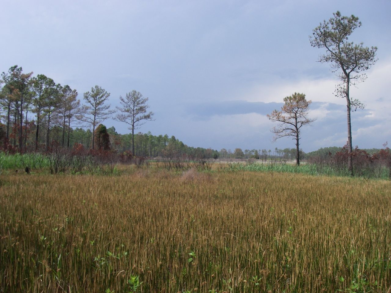
Marsh view

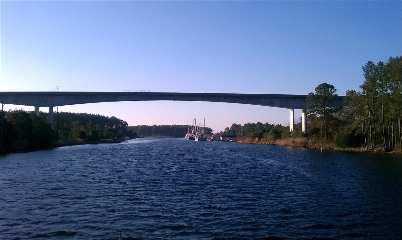
trawler on Broad Creek

female house finch 9571

Windy Day | Bayboro, NC

Fishing Boat, Commercial- North Carolina, Pamlico County- Bayboro

Fishing Boat, Commercial- North Carolina, Pamlico County- Bayboro, "Earl's Girl"
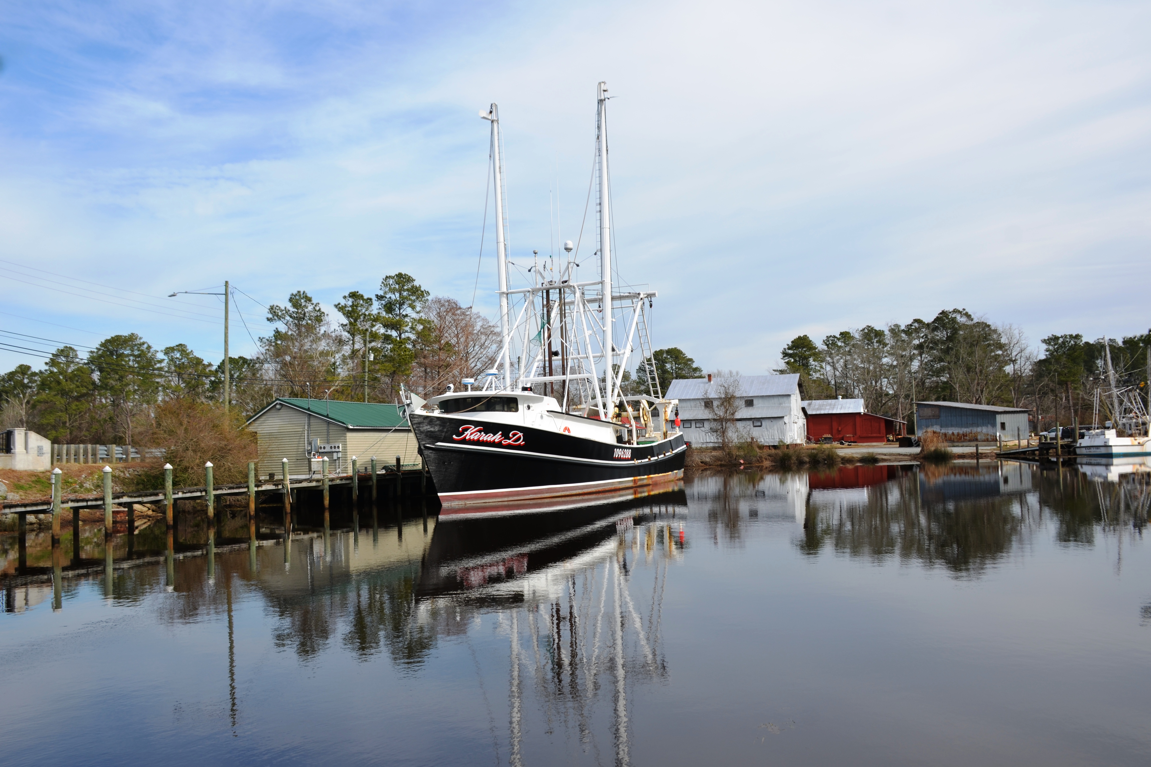
Fishing Boat, Commercial- North Carolina, Pamlico County- Bayboro, "Karah D."

Charlies_Gray Whitley_9935

Rise and shine, happy campers.

Stairway to heaven

Hull in junkyard

Quality Furniture

April-May 2013

Abandoned Ship (Revisited)

Abandoned Ship
IMAG0053 (Medium)

Back onshore...

On the docks...

Folding sails

Winner!

Tiffany and Cherith

Saturday Night's Celebration

River Dunes Property Owner Table
Topographic Map of Mesic, NC, USA
Find elevation by address:

Places near Mesic, NC, USA:
960 Griggs Rd
8275 Nc-304
Vandemere
Bay River
64 N Bay River Shores Rd
480 Lynchs Beach Loop Rd
103 Carrie Creek Dr
275 Breeze Way
2180 Nc-304
Bay City Rd, Bayboro, NC, USA
1508 Idalia Rd
Aurora Medical Center
3, NC, USA
452 Pearl St
204 Chapin St
Aurora
Richland
Peed Town Road
170 Paul Farm Rd
23739 Nc-33
Recent Searches:
- Elevation of Corso Fratelli Cairoli, 35, Macerata MC, Italy
- Elevation of Tallevast Rd, Sarasota, FL, USA
- Elevation of 4th St E, Sonoma, CA, USA
- Elevation of Black Hollow Rd, Pennsdale, PA, USA
- Elevation of Oakland Ave, Williamsport, PA, USA
- Elevation of Pedrógão Grande, Portugal
- Elevation of Klee Dr, Martinsburg, WV, USA
- Elevation of Via Roma, Pieranica CR, Italy
- Elevation of Tavkvetili Mountain, Georgia
- Elevation of Hartfords Bluff Cir, Mt Pleasant, SC, USA