Elevation of Paul Farm Rd, Grantsboro, NC, USA
Location: United States > North Carolina > Pamlico County > > Grantsboro >
Longitude: -76.841943
Latitude: 35.1693489
Elevation: 10m / 33feet
Barometric Pressure: 101KPa
Elevation Map:
Satellite Map:
Related Photos:
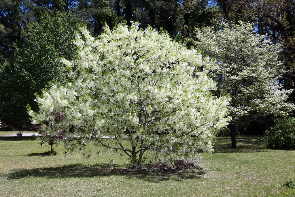
Fringetree (Chionanthus virginicus)

Strange Shadows
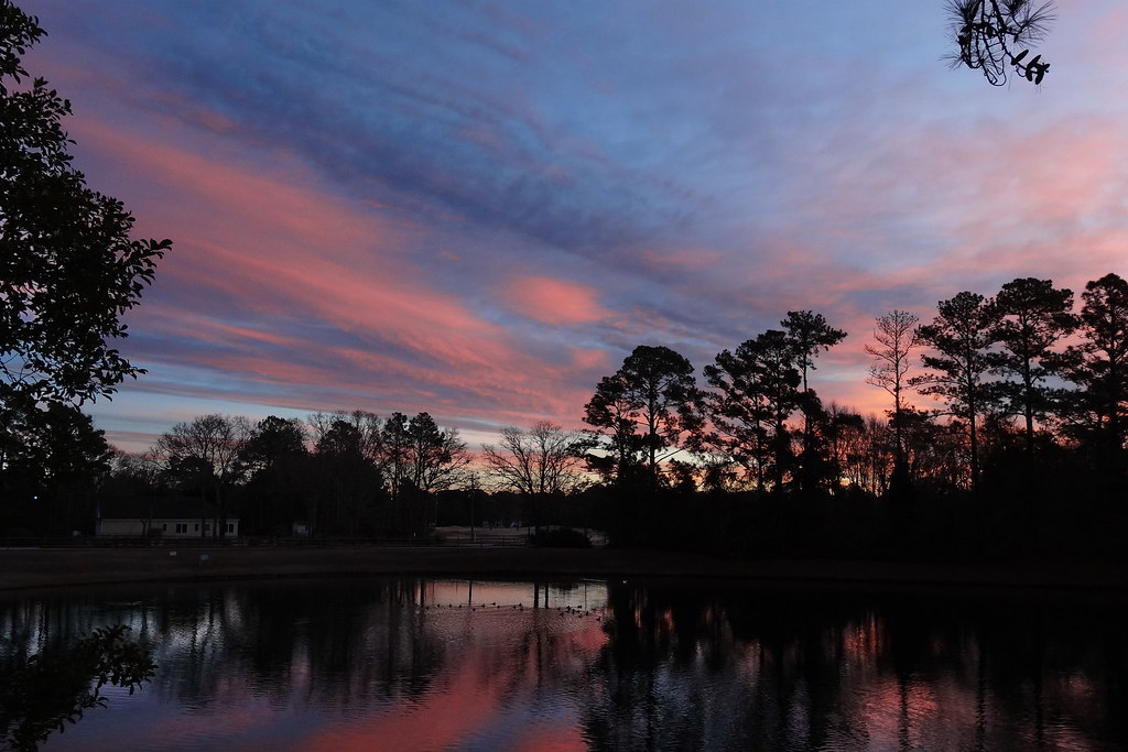
Pink Twilight
P1010030.JPG
P1010038.JPG
P1010041.JPG
IMG_1114.JPG

What Once Was
P1010033.JPG
P1010023.JPG
P1010029.JPG
Cloud Highlight
Chris's Camera
Chris's Camera
Chris's Camera

The Golden-winged Skimmer
Topographic Map of Paul Farm Rd, Grantsboro, NC, USA
Find elevation by address:

Places near Paul Farm Rd, Grantsboro, NC, USA:
1823 Nc-306
1757 Nc-306
2664 Nc-306
2639 Nc-306
3, NC, USA
Bay City Rd, Bayboro, NC, USA
10255 Nc-306
10255 Nc-306
1044 Rowe Rd
2180 Nc-304
1508 Idalia Rd
Olympia Road
1841 Olympia Rd
New Bern, NC, USA
734 Walker Rd
Peed Town Road
23739 Nc-33
204 Chapin St
480 Lynchs Beach Loop Rd
452 Pearl St
Recent Searches:
- Elevation of Corso Fratelli Cairoli, 35, Macerata MC, Italy
- Elevation of Tallevast Rd, Sarasota, FL, USA
- Elevation of 4th St E, Sonoma, CA, USA
- Elevation of Black Hollow Rd, Pennsdale, PA, USA
- Elevation of Oakland Ave, Williamsport, PA, USA
- Elevation of Pedrógão Grande, Portugal
- Elevation of Klee Dr, Martinsburg, WV, USA
- Elevation of Via Roma, Pieranica CR, Italy
- Elevation of Tavkvetili Mountain, Georgia
- Elevation of Hartfords Bluff Cir, Mt Pleasant, SC, USA