Elevation of Mersin, Akdeniz/Mersin, Turkey
Location: Turkey > Mersin Province > Akdeniz >
Longitude: 34.6414811
Latitude: 36.8121041
Elevation: 10m / 33feet
Barometric Pressure: 101KPa
Elevation Map:
Satellite Map:
Related Photos:

Mersin- Turkey

DSC09086 MERSIN-NIGHT VIEW

Pokój z widokiem / A room with a view

Yumuktepe (Mersin). View of the mound from the west .

Yumuktepe (Mersin). View of the mound from the west

What the Snoopy view would be

Uitzicht op de Vatnajokul Gletsjer

Mersin Turkia

Mersin Port

Sea sun seagulls

Early Morning

Mersin 2 Turkia

Homemade Danbo

Sky on the sea

A foggy day

Yumuktepe (Mersin). Trench showing stratigraphy of the early levels.

Bounce #sea waves on the shore of the city of #Mersin

#mersin #turkey se##turkey sea
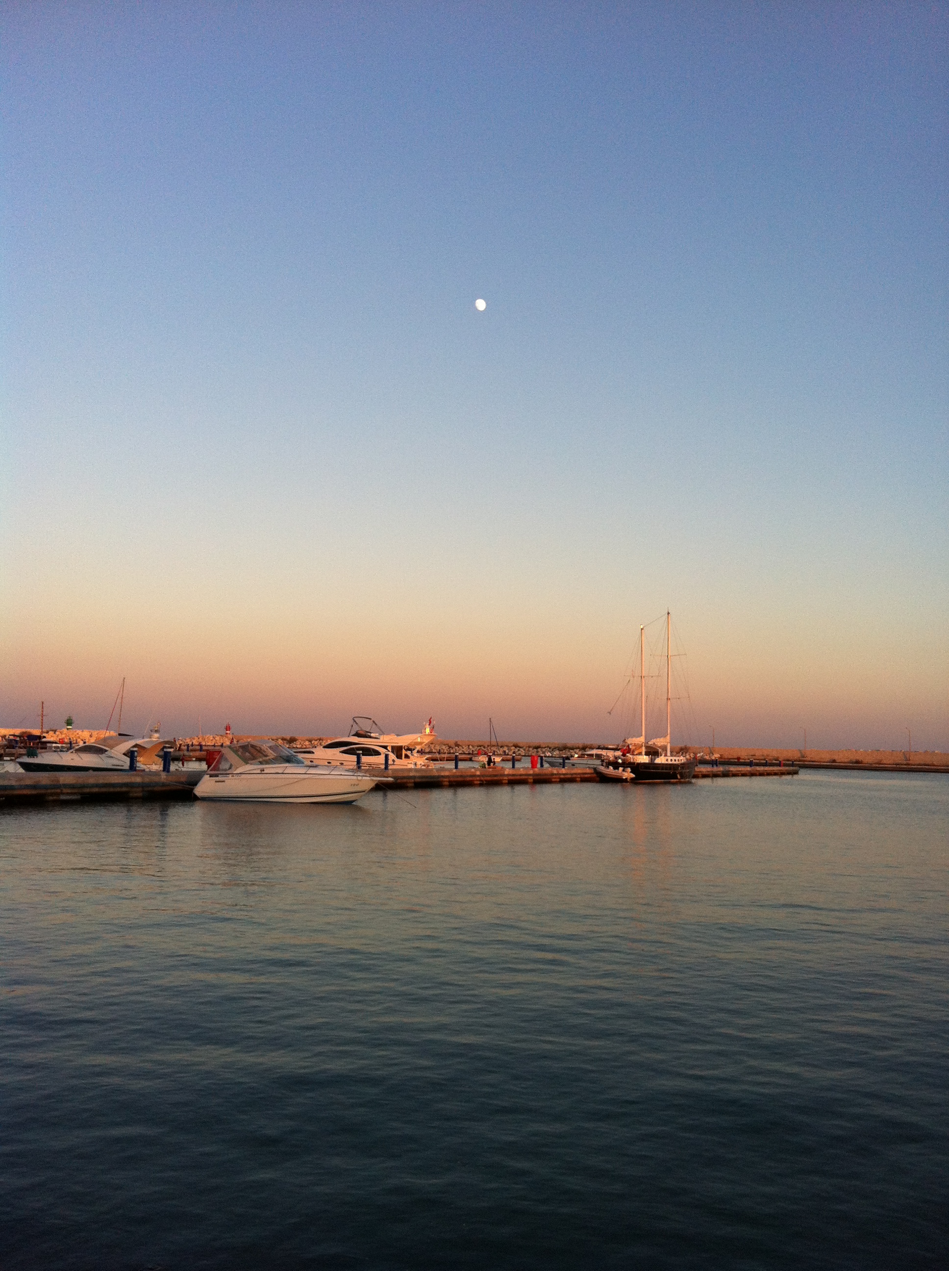
Mediterranean Dusk
Topographic Map of Mersin, Akdeniz/Mersin, Turkey
Find elevation by address:

Places near Mersin, Akdeniz/Mersin, Turkey:
Atlas Teras
Kaşlı
Akdeniz
Bahçeli Aşağıburhan
Tezol Kagit
Mezitli
Demirışık
Demirışık
Fındıkpınarı
Fındıkpınarı
Toroslar
Çukurova
Karaisalı
Karaisalı
Silifke
Ulukışla
Ayrancı
Kıraman
Ereğli State Hospital District
Kıraman
Recent Searches:
- Elevation of Corso Fratelli Cairoli, 35, Macerata MC, Italy
- Elevation of Tallevast Rd, Sarasota, FL, USA
- Elevation of 4th St E, Sonoma, CA, USA
- Elevation of Black Hollow Rd, Pennsdale, PA, USA
- Elevation of Oakland Ave, Williamsport, PA, USA
- Elevation of Pedrógão Grande, Portugal
- Elevation of Klee Dr, Martinsburg, WV, USA
- Elevation of Via Roma, Pieranica CR, Italy
- Elevation of Tavkvetili Mountain, Georgia
- Elevation of Hartfords Bluff Cir, Mt Pleasant, SC, USA