Elevation of Çukurova/Adana, Turkey
Location: Turkey > Adana >
Longitude: 35.148879
Latitude: 37.0989702
Elevation: 80m / 262feet
Barometric Pressure: 100KPa
Elevation Map:
Satellite Map:
Related Photos:
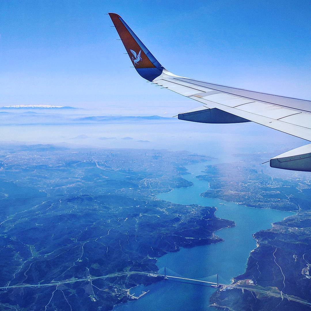
Amazing goodbye view from the Uludağ mountains still full of snow, Marmara See and Bosphorus Strait with the majestical Istanbul all around it! Thank you friends again for the great time! Back in Berlin...
Fotoğraf-0003

Fotoğraf-0002

2013-10-14_13.24.54.IMG_3725

Clouds reflected

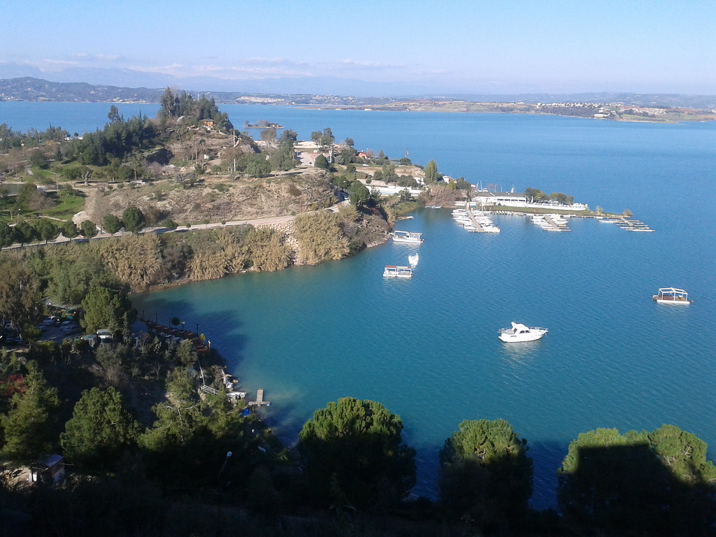
baraj gölü

Adana Silüeti - Hoot Baez

Little one

Little one

Little one
Topographic Map of Çukurova/Adana, Turkey
Find elevation by address:

Places in Çukurova/Adana, Turkey:
Places near Çukurova/Adana, Turkey:
Karaisalı
Karaisalı
Tezol Kagit
Bahçeli Aşağıburhan
Akdeniz
Mersin
Kaşlı
Atlas Teras
Toroslar
Demirışık
Ulukışla
Demirışık
Mezitli
Fındıkpınarı
Fındıkpınarı
Ereğli State Hospital District
Kıraman
Ayrancı
Kıraman
Silifke
Recent Searches:
- Elevation of Corso Fratelli Cairoli, 35, Macerata MC, Italy
- Elevation of Tallevast Rd, Sarasota, FL, USA
- Elevation of 4th St E, Sonoma, CA, USA
- Elevation of Black Hollow Rd, Pennsdale, PA, USA
- Elevation of Oakland Ave, Williamsport, PA, USA
- Elevation of Pedrógão Grande, Portugal
- Elevation of Klee Dr, Martinsburg, WV, USA
- Elevation of Via Roma, Pieranica CR, Italy
- Elevation of Tavkvetili Mountain, Georgia
- Elevation of Hartfords Bluff Cir, Mt Pleasant, SC, USA