Elevation of Merrell Ct, Fort Stewart, GA, USA
Location: United States > Georgia > Liberty County > Fort Stewart >
Longitude: -81.5918019
Latitude: 31.8923105
Elevation: 26m / 85feet
Barometric Pressure: 0KPa
Related Photos:
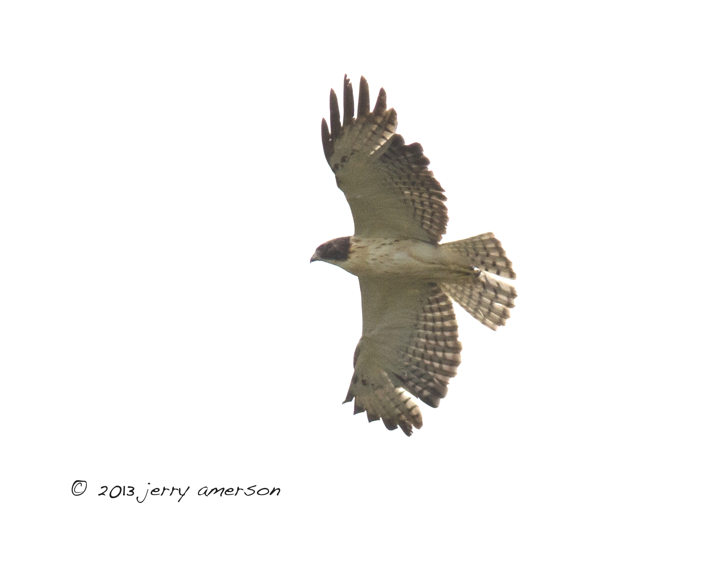
Short-tailed Hawk. GMNH 6959. Hinesville, Liberty County, 28 April 2013. Photo by Jerry Amerson

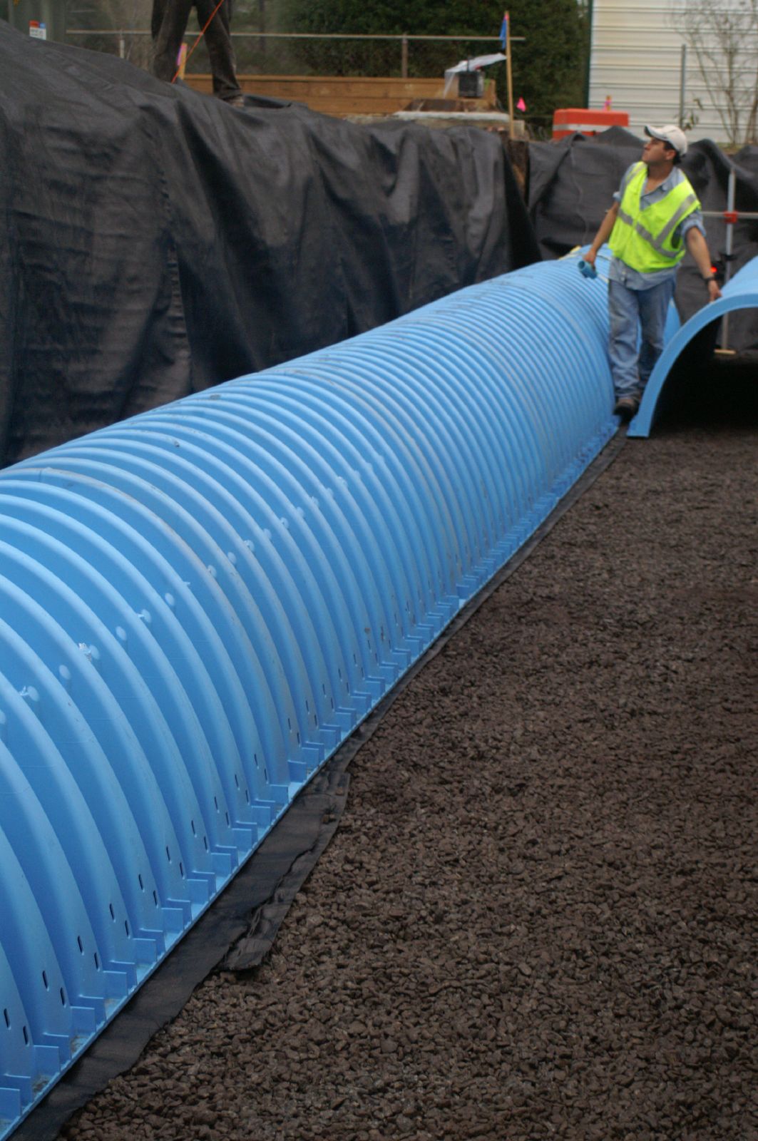
Bradwell Homes

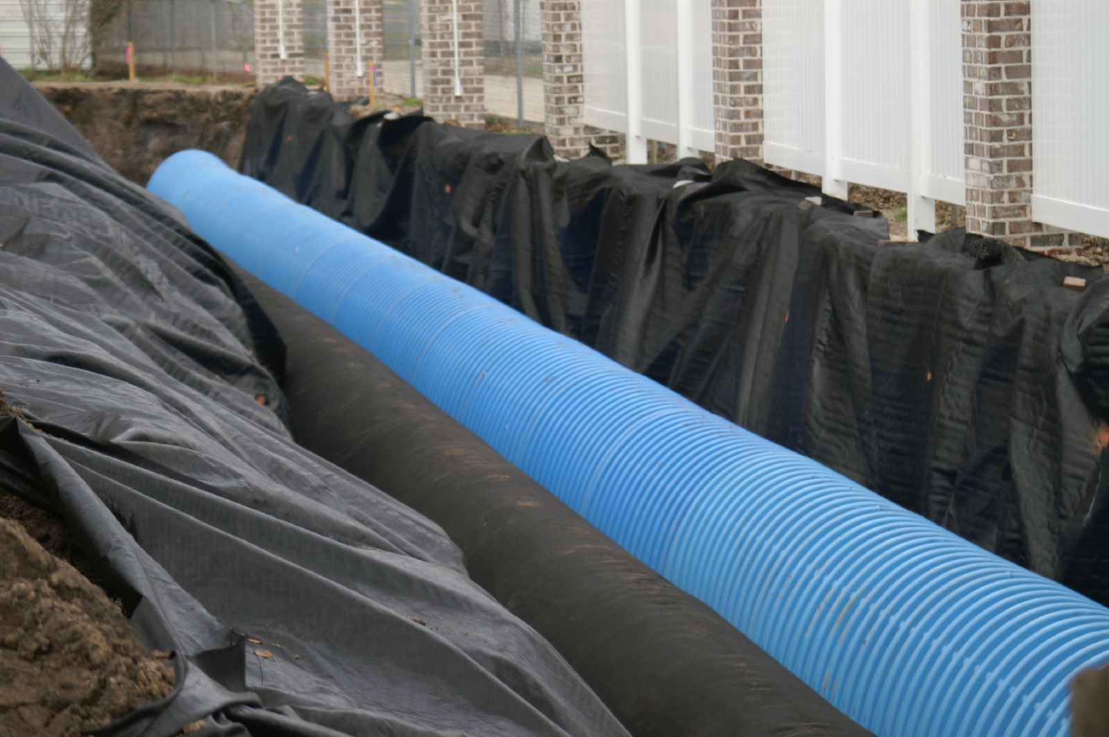
Bradwell Homes
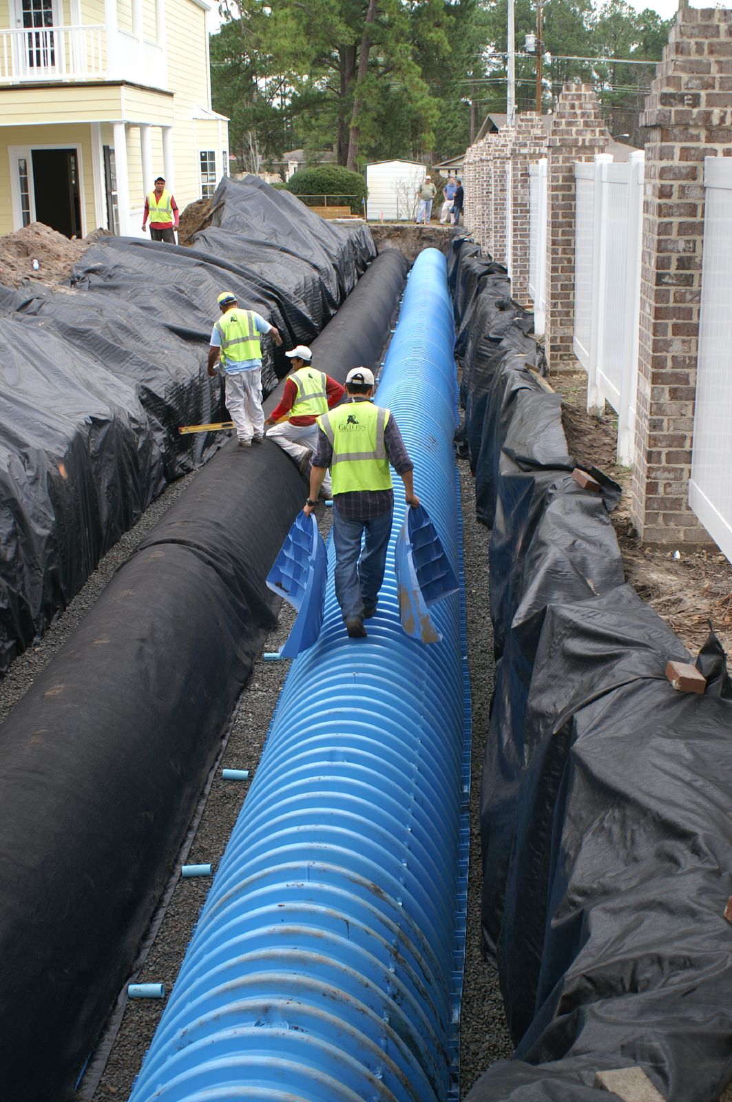
Bradwell Homes
Bradwell Homes
Bradwell Homes
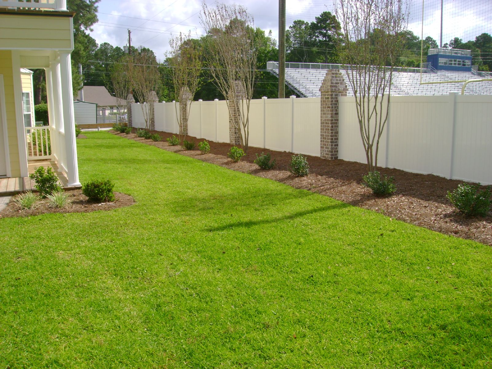
Bradwell Homes
P1000819
P1000810

P1000833
P1000807
P1000856
IMG_0081
IMG_0025
P1000806
IMG_0026
IMG_0037

IMG_0053
IMG_0030
IMG_0028
P1000758
IMG_0224
Topographic Map of Merrell Ct, Fort Stewart, GA, USA
Find elevation by address:

Places near Merrell Ct, Fort Stewart, GA, USA:
Fort Stewart
Floyd St, Hinesville, GA, USA
Holiday Inn Express & Suites Hinesville East - Fort Stewart
Ledgewood Circle
Hinesville
Olive St, Hinesville, GA, USA
969 Hawthorne Ct
910 Shady Ln
Garden Cir, Hinesville, GA, USA
Jane Ln, Hinesville, GA, USA
Ruben Wells Road
W Oglethorpe Hwy, Hinesville, GA, USA
Maple Dr S, Hinesville, GA, USA
16 Dunlevie Rd, Hinesville, GA, USA
Walthourville
Oglethorpe Hwy, Hinesville, GA, USA
Lee Pl Rd NE, Ludowici, GA, USA
GA-38, Ludowici, GA, USA
1737 Pearl Davis Rd
145 Madison Ave Ne
Recent Searches:
- Elevation of 116, Beartown Road, Underhill, Chittenden County, Vermont, 05489, USA
- Elevation of Window Rock, Colfax County, New Mexico, 87714, USA
- Elevation of 4807, Rosecroft Street, Kempsville Gardens, Virginia Beach, Virginia, 23464, USA
- Elevation map of Matawinie, Quebec, Canada
- Elevation of Sainte-Émélie-de-l'Énergie, Matawinie, Quebec, Canada
- Elevation of Rue du Pont, Sainte-Émélie-de-l'Énergie, Matawinie, Quebec, J0K2K0, Canada
- Elevation of 8, Rue de Bécancour, Blainville, Thérèse-De Blainville, Quebec, J7B1N2, Canada
- Elevation of Wilmot Court North, 163, University Avenue West, Northdale, Waterloo, Region of Waterloo, Ontario, N2L6B6, Canada
- Elevation map of Panamá Province, Panama
- Elevation of Balboa, Panamá Province, Panama
- Elevation of San Miguel, Balboa, Panamá Province, Panama
- Elevation of Isla Gibraleón, San Miguel, Balboa, Panamá Province, Panama
- Elevation of 4655, Krischke Road, Schulenburg, Fayette County, Texas, 78956, USA
- Elevation of Carnegie Avenue, Downtown Cleveland, Cleveland, Cuyahoga County, Ohio, 44115, USA
- Elevation of Walhonding, Coshocton County, Ohio, USA
- Elevation of Clifton Down, Clifton, Bristol, City of Bristol, England, BS8 3HU, United Kingdom
- Elevation map of Auvergne-Rhône-Alpes, France
- Elevation map of Upper Savoy, Auvergne-Rhône-Alpes, France
- Elevation of Chamonix-Mont-Blanc, Upper Savoy, Auvergne-Rhône-Alpes, France
- Elevation of 908, Northwood Drive, Bridge Field, Chesapeake, Virginia, 23322, USA