Elevation of Merchant Ln SE, Townsend, GA, USA
Location: United States > Georgia > Mcintosh County > Townsend >
Longitude: -81.417225
Latitude: 31.475007
Elevation: 6m / 20feet
Barometric Pressure: 101KPa
Elevation Map:
Satellite Map:
Related Photos:

The Last Sunset

Sapelo Island Lighthouse steps
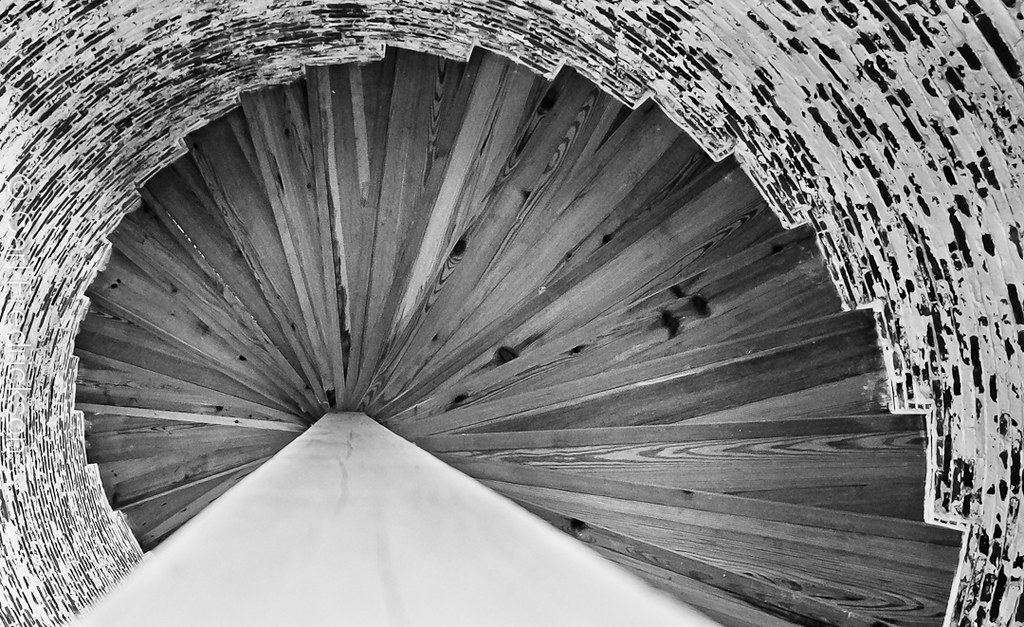
Sapelo Island Lighthouse steps
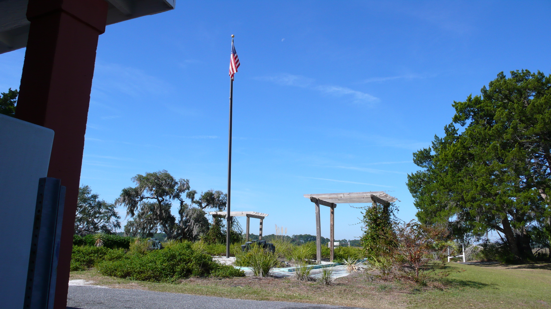
The view from the deck
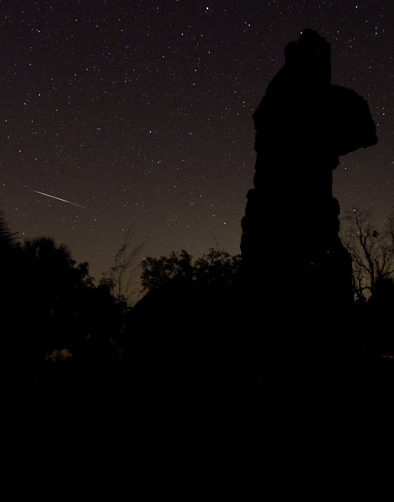
Meteor streaking across the sky
Sapelo - 13.jpg
Sapelo Island Lighthouse steps

Sapelo Island Lighthouse steps
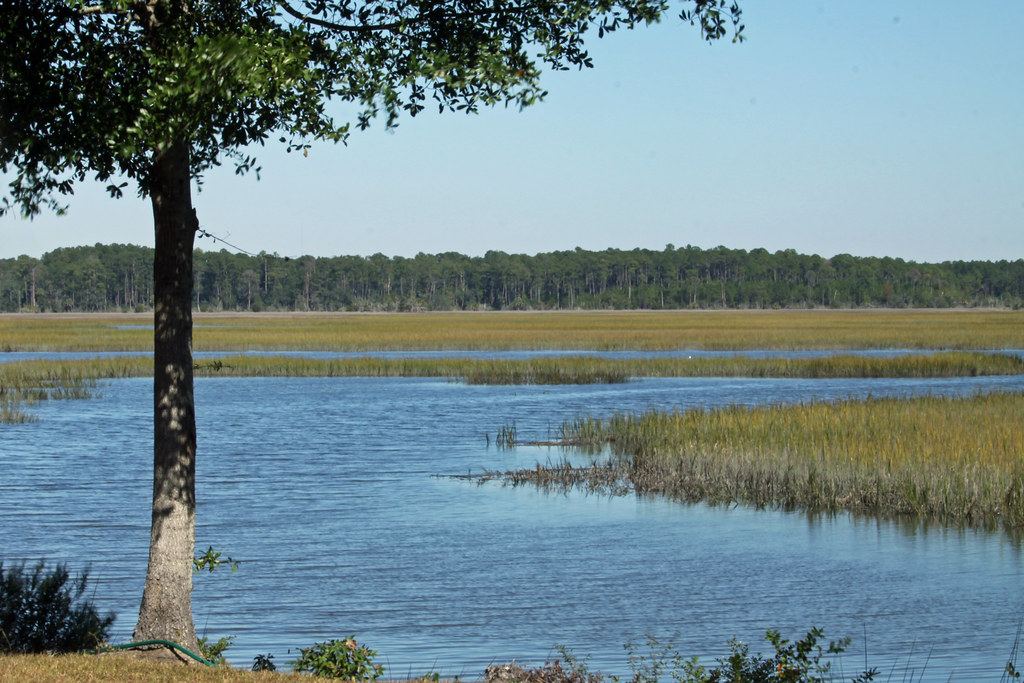
Sapelo Island View
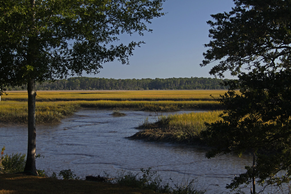
Tolomato Marsh
The ATM that would not honor my Bank of America Debit Card--Shucks!
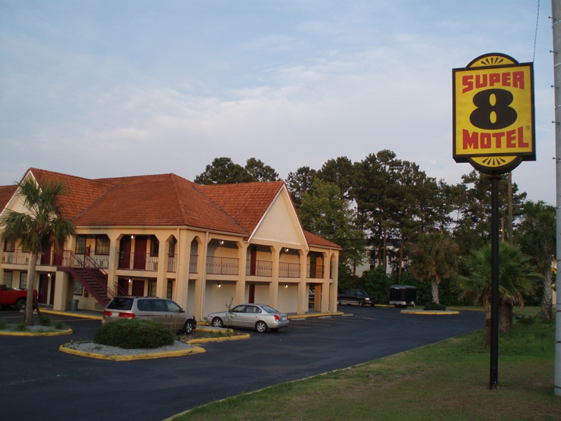
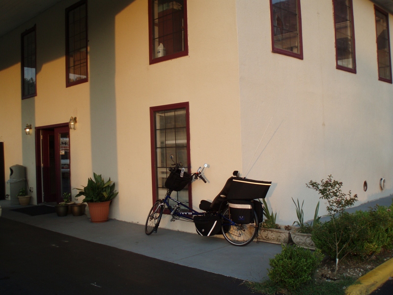
Super 8 Motel

Super 8 Motel
I love nature

Nature is Splendid
Smelling the trees
Today's destination [Mark's in our room already]
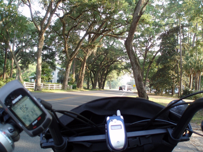
Stopped for chocalate milk and pictures
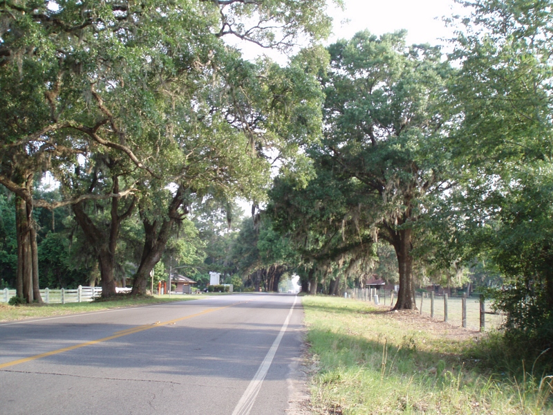
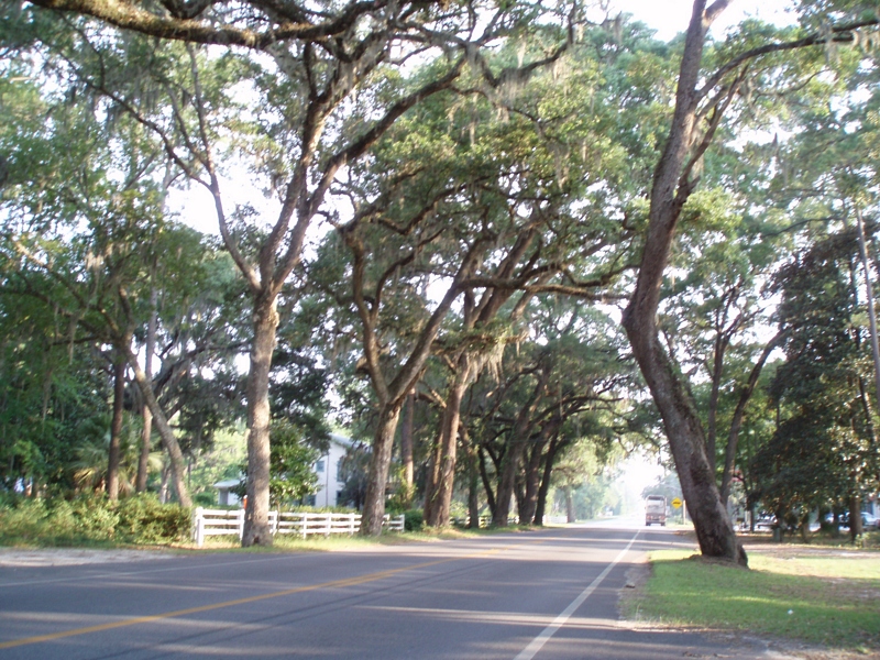
Beautiful oak trees, with moss
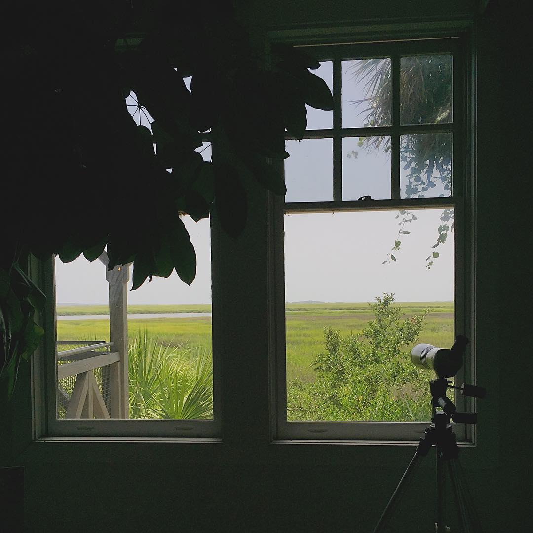
Framed view

Southern Summers

Waiting for the Sun

Curiousity and the Sea

Skimming the Water With the Birds... This is Living

Doboy Sound
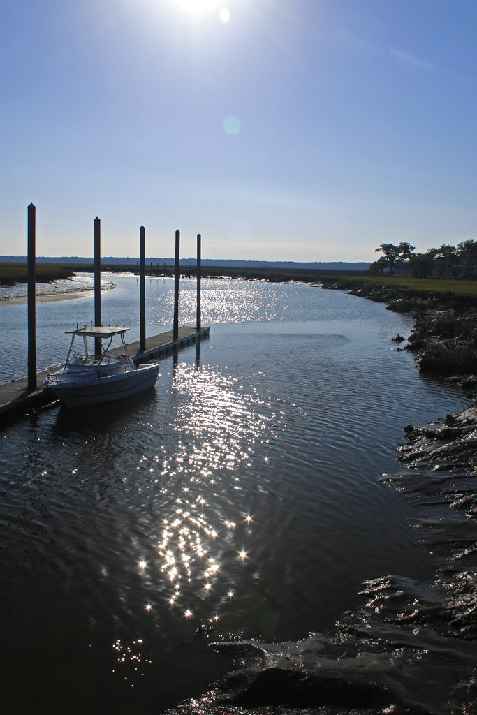
Sapelo River

Shellman Bluff, GA
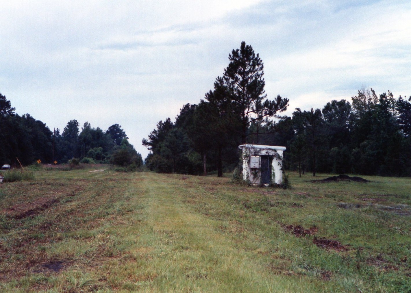
Former SAL mainline at Townend, Georgia....abandoned, looking south 1997
Low tide out the back door

near Darien, GA, United States

South Georgia Sunsets

The Sun Victorious

Shrimpboats at Darien

Sunset over Darien, Georgia

Sunset over Darien, Georgia
Life measured

Butler Island Rice Plantation.

Butler Plantation, Darien, Ga.
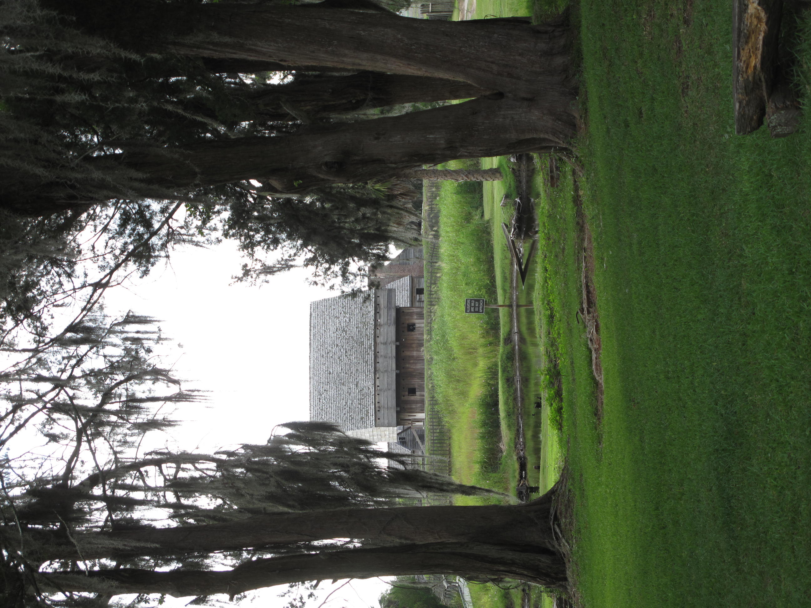
Fort King George Historic Site, Darien (Ga.), 20 July 2012
near Darien, GA, United States
Topographic Map of Merchant Ln SE, Townsend, GA, USA
Find elevation by address:

Places near Merchant Ln SE, Townsend, GA, USA:
1147 Merchant Ln Se
1097 Halyard Way
Mcintosh County
Mcintosh County
Mcintosh County
Mcintosh County
Mcintosh County
Mcintosh County
Mcintosh County
Mcintosh County
Mcintosh County
Mcintosh County
Mcintosh County
Mcintosh County
Mcintosh County
Mcintosh County
2032 Ga-99
1366 Forest Island Drive
15681 Us-17
Ridge Rd, Townsend, GA, USA
Recent Searches:
- Elevation of Corso Fratelli Cairoli, 35, Macerata MC, Italy
- Elevation of Tallevast Rd, Sarasota, FL, USA
- Elevation of 4th St E, Sonoma, CA, USA
- Elevation of Black Hollow Rd, Pennsdale, PA, USA
- Elevation of Oakland Ave, Williamsport, PA, USA
- Elevation of Pedrógão Grande, Portugal
- Elevation of Klee Dr, Martinsburg, WV, USA
- Elevation of Via Roma, Pieranica CR, Italy
- Elevation of Tavkvetili Mountain, Georgia
- Elevation of Hartfords Bluff Cir, Mt Pleasant, SC, USA