Elevation of Halyard Way, Townsend, GA, USA

Location: United States > Georgia > Mcintosh County > Townsend >

Longitude: -81.413690

Latitude: 31.4661733

Elevation: 12m / 39feet

Barometric Pressure: 101KPa

Elevation Map:

elevation map of Halyard Way, Townsend, GA, USA
Satellite Map:

Satellite map of Halyard Way, Townsend, GA, USA
Related Photos:

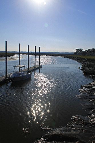
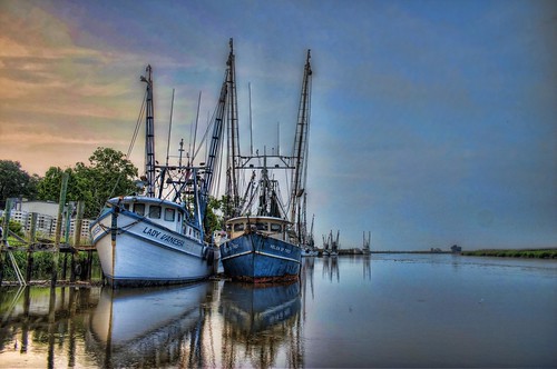
wood sky clouds river georgia boats piers shrimp muddywaters darien hdr moored adamsviews johneadams thegaleforce
Southern Summers
usa lighthouse georgia island topaz sapelo
Sapelo Island Lighthouse, another view
usa ga georgia island april 2011 sapelo serenbe
Sapelo Island Lighthouse steps
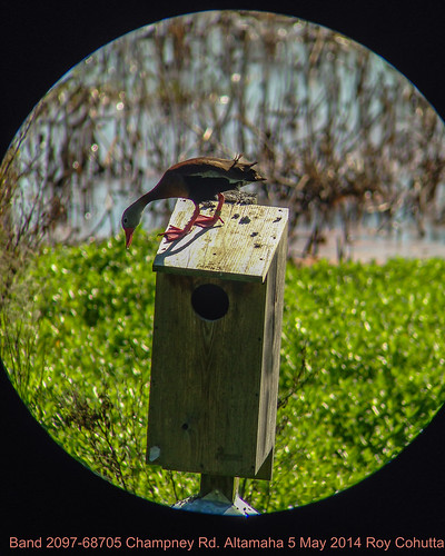
duck scope band pointandshoot phonecamera kowa whistling iphone banded digiscope whistlingduck blackbellied altamaha 209768705
Banded Black-bellied Whistling-Duck
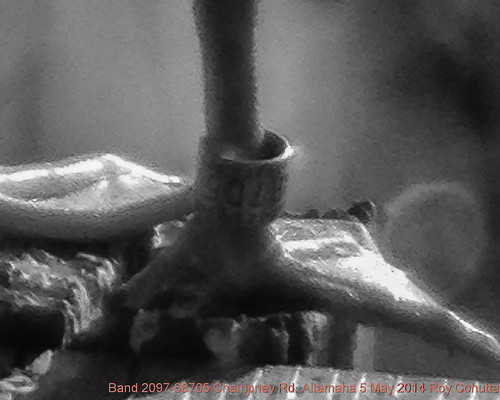
duck scope band pointandshoot phonecamera kowa whistling iphone banded digiscope whistlingduck blackbellied altamaha 209768705
Banded Black-bellied Whistling-Duck
duck scope band pointandshoot phonecamera kowa whistling iphone banded digiscope whistlingduck blackbellied altamaha 209768705
Banded Black-bellied Whistling-Duck
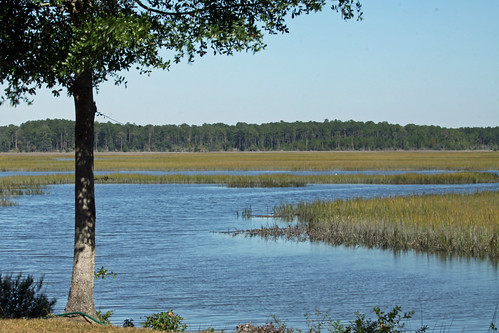
The view from the deck
sky usa night ga georgia island long april meteor 2011 sapelo serenbe
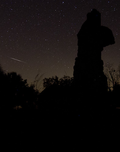
Meteor streaking across the sky
Sapelo - 13.jpg
usa ga georgia island april 2011 sapelo serenbe
Sapelo Island Lighthouse steps
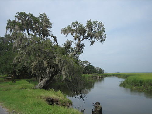
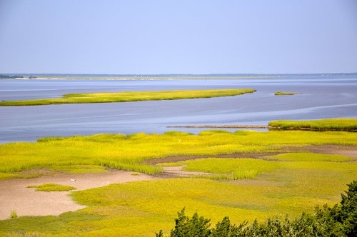
georgia marsh sapeloisland
Sapelo Island View
marsh wiregrass georgiacoast hudsoncreek
Tolomato Marsh
geotagged geolat315317547923978 geolon814279692105264
I love nature
geotagged geolat315317547923978 geolon814279692105264
Nature is Splendid
geotagged geolat315317547923978 geolon814279692105264
Smelling the trees
geotagged geolat315318224827587 geolon814281536896554
Stopped for chocalate milk and pictures
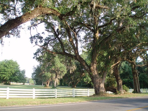
geotagged geolat315317547923978 geolon814279692105264
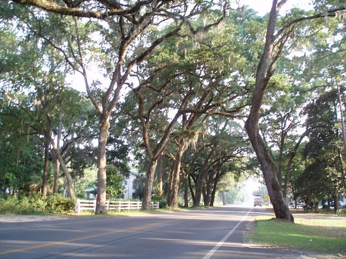
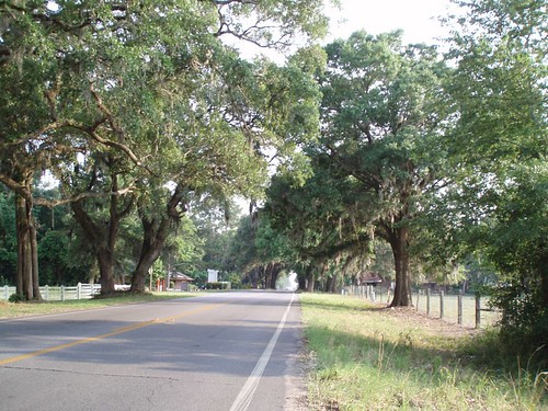
Beautiful oak trees, with moss
light sunset sun storm color nature water clouds canon river georgia landscape evening spring dock warmth peaceful darien canon2470mm butlerriver canon7d altamahawildlifemanagementarea
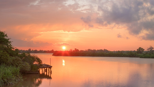
The Last Sunset
photostream
View of Doboy Sound from Sapelo Island Lighthouse.
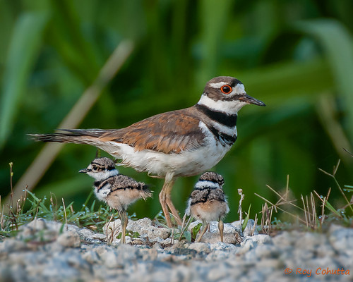
baby bird babies killdeer birdperfect
Babies Killdeer
nature georgia boats outdoors boat nikon shrimpboats dariengeorgia darienga nikond7000
Grave Digger of Darien
Curiousity and the Sea
usa ga landscape photo photographer image picture estuary africanamerican marsh lowtide atlanticocean meridian 2012 gullah sabalpalm sabalpalmetto sapeloisland cabbagepalm geechee mcintoshcounty copyrightbrianbrown doboysound carniganriver vanishingcoastalgeorgia
Doboy Sound
georgia darien topaz butlerislandplantation
Butler Plantation, Darien, Ga.
ga darien sapeloriver
Sapelo River
chimney ga georgia island coast historic plantation butler darian
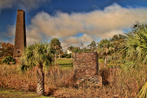
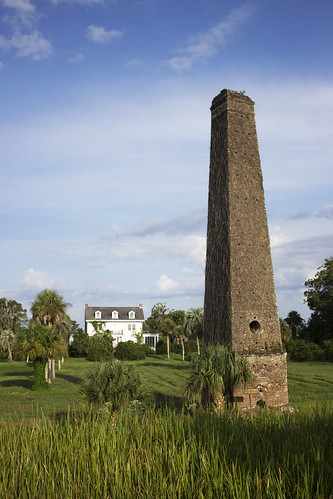
Butler Island Plantation
flickriosapp:filter=nofilter uploaded:by=flickrmobile
Shellman Bluff, GA
ga darien sapeloriver
Low tide out the back door
morning sun color nature water grass clouds sunrise canon georgia landscape dawn spring marsh darien canon2470mm canon7d altamahawildlifemanagementarea
Waiting for the Sun
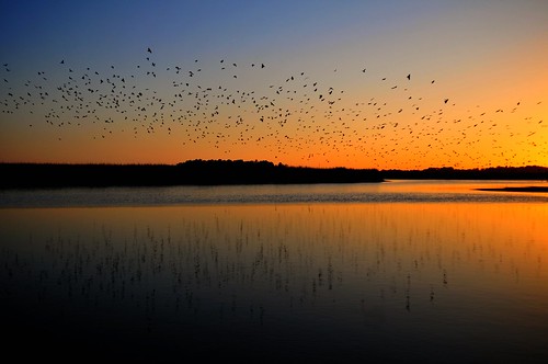
Skimming the Water With the Birds... This is Living
river landscape coastal marsh darien riverbank hdr wetland shrimpboat mcintoshcounty
Shrimpboats at Darien
sunset vacation georgia scenic
Sunset over Darien, Georgia
sunset vacation georgia scenic
Sunset over Darien, Georgia
square squareformat iphoneography instagramapp uploaded:by=instagram
Life measured
georgia island rice plantation butler darien topaz fannykemble
Butler Island Rice Plantation.
georgia historicsites altamahariver mcintoshcountyga darienga fortkinggeorgehistoricsite
Fort King George Historic Site, Darien (Ga.), 20 July 2012
near Darien, GA, United States
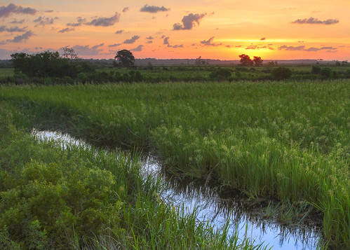
Sunset in the Marsh
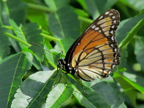
Monarch Butterfly