Elevation of Mente Linda Loop, Milpitas, CA, USA
Location: United States > California > Santa Clara County > Milpitas >
Longitude: -121.90773
Latitude: 37.4220406
Elevation: 8m / 26feet
Barometric Pressure: 101KPa
Elevation Map:
Satellite Map:
Related Photos:
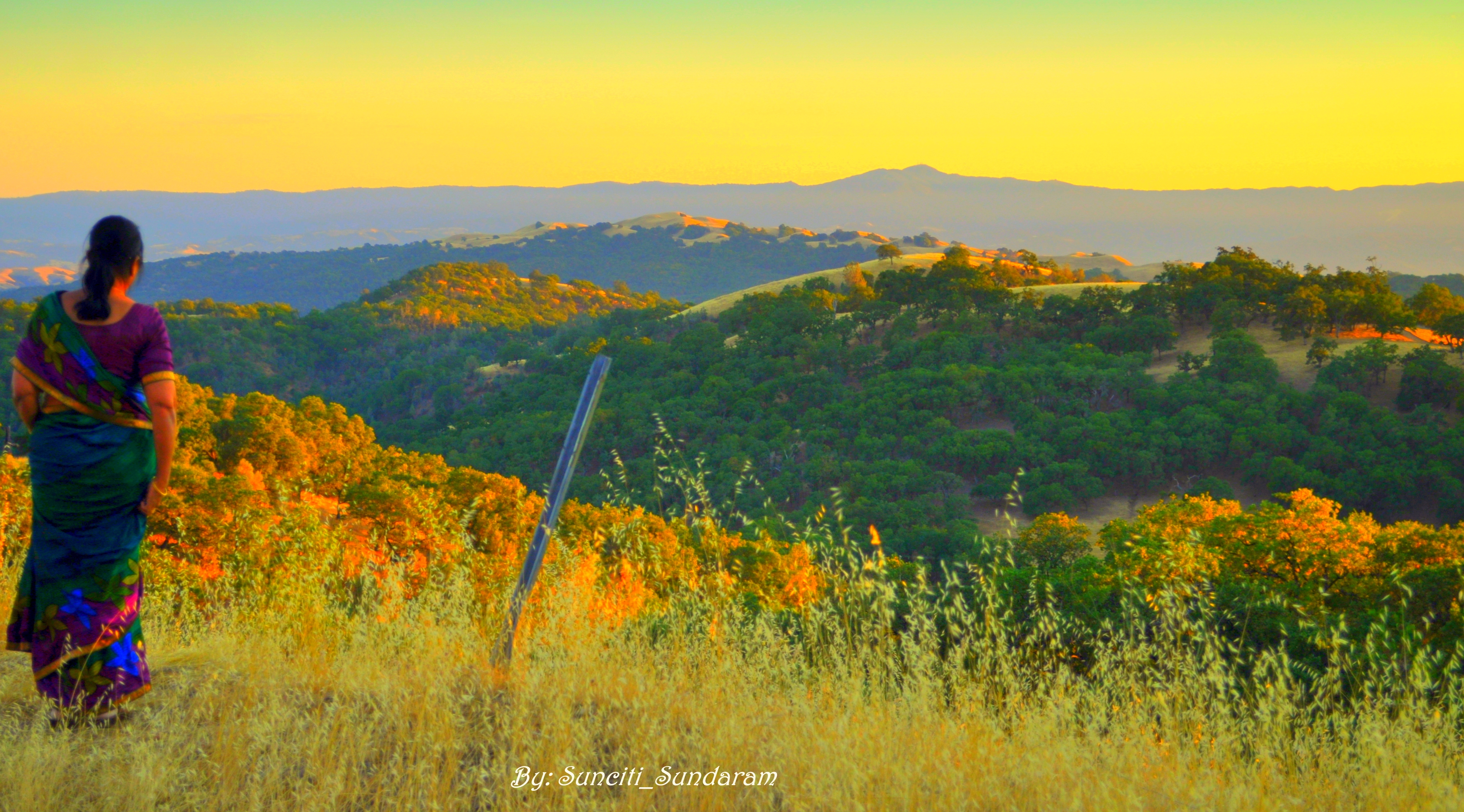
Panoramic View From A Perfect View Point...

What a cute kid :)

Ornaments In Latern

Mary Avenue Bridge
The dark lord lives in a mansion high above a sea of lava
An expresso and a cognac please!

DSC01246.JPG

Bicycle Seat

Geese (HSS)

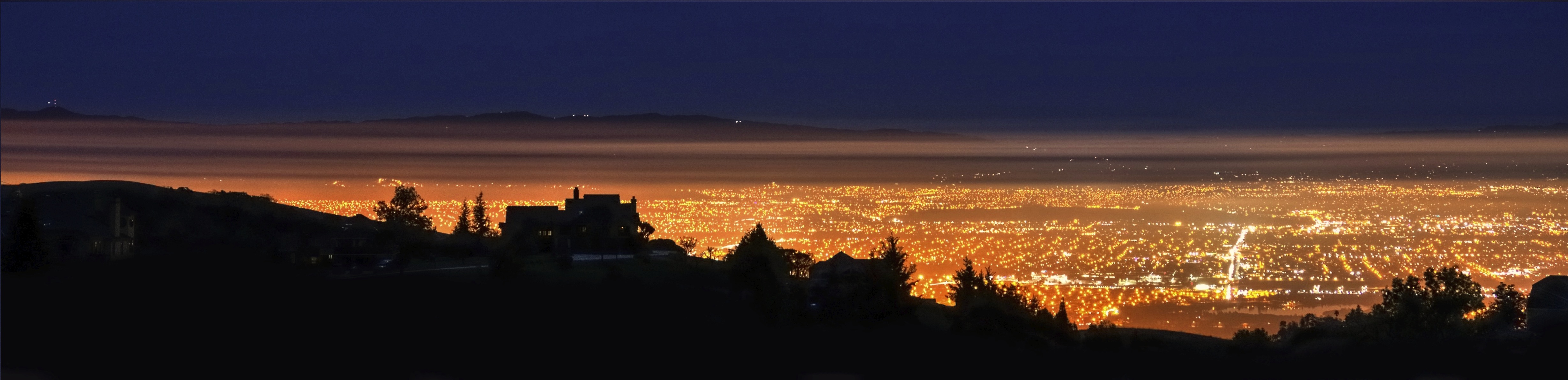
Alviso Blue Hour
picture perfect

Häppy Holidays!

GARDEN.JPG
Vanishing Point
MTV Fire Station 5

The last supper
Cracked Earth
The sky is on fire - at Mount Hamilton Grandview Restaurant

IMG_9273.JPG
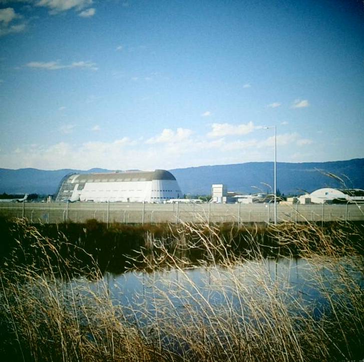
Hanger One

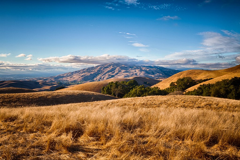
Golden View

Stop. Look. Enjoy.

Calaveras Road

Green Pastors
Sunol Spring Hillside No.01

Door of opportunities :)
Clouds Over Mission Peak
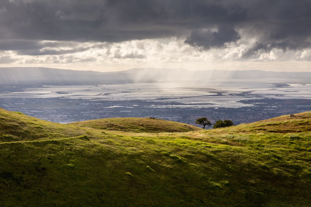
Scattered Showers

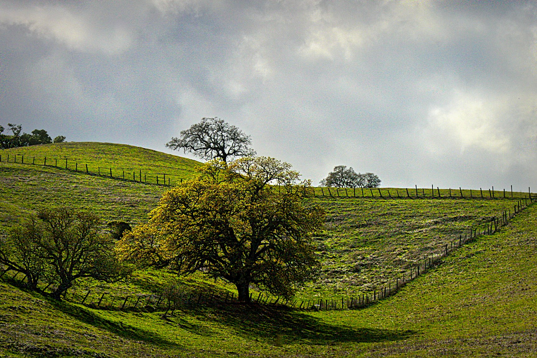
Tree 2

Central Park
Spotted Hercules on my mud run at Alum Rock. #ToTheTop

There is something about nature that makes me feel happy.
Sunol Rest Stop

Easy way down

iPhoneography #84
View from Maguire Peaks

~~Alviso Twilight #2~~
Morning Run by Bay Trail.

I wish I could see where you're going.
Topographic Map of Mente Linda Loop, Milpitas, CA, USA
Find elevation by address:

Places near Mente Linda Loop, Milpitas, CA, USA:
240 Summerfield Dr
1228 Moonlight Way
200 Casper St
210 Butler St
Great Mall Drive
540 Alder Dr
Milpitas
244 Smithwood St
1456 S Main St
Starbucks
Sycamore Drive
1728 Lee Way
Ranch Drive
402 Belshaw Dr
534 Dundee Ave
485 Glenmoor Cir
775 Montague Expy
831 Montague Expy
355 River Oaks Pkwy
1335 Canton Dr
Recent Searches:
- Elevation of Corso Fratelli Cairoli, 35, Macerata MC, Italy
- Elevation of Tallevast Rd, Sarasota, FL, USA
- Elevation of 4th St E, Sonoma, CA, USA
- Elevation of Black Hollow Rd, Pennsdale, PA, USA
- Elevation of Oakland Ave, Williamsport, PA, USA
- Elevation of Pedrógão Grande, Portugal
- Elevation of Klee Dr, Martinsburg, WV, USA
- Elevation of Via Roma, Pieranica CR, Italy
- Elevation of Tavkvetili Mountain, Georgia
- Elevation of Hartfords Bluff Cir, Mt Pleasant, SC, USA