Elevation of Mendota Road, Mendota Rd, Virginia, USA

Location: United States > Virginia > Washington County > Tyler > Mendota >

Longitude: -82.211619

Latitude: 36.7480272

Elevation: 434m / 1424feet

Barometric Pressure: 96KPa

Elevation Map:

elevation map of Mendota Road, Mendota Rd, Virginia, USA

Satellite Map:

Satellite map of Mendota Road, Mendota Rd, Virginia, USA

Related Photos:

glass bristol hotel inn lift g elevator button ascensor laquinta lyfta indicator thyssenkrupp 2013 doverimpulse doverelevator historicoutdoorelevator
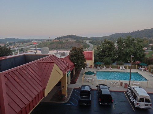
Nice view Bristol VA La Quinta
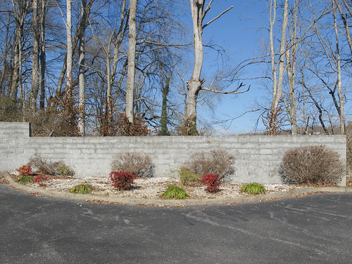
2013 20131226 bristol bristolvirginia bristollandscape comfortinn december december2013 tricities tricitiesregion virginia virginialandscape wyndhamworldwide asphaltconcreteparkinglot asphaltconcretepavement blacktop bushes climbingplant concretewall curb flowerbed forest gravel hotelparkinglot kerb landscape landscaping landscapinggravel lowwall lowrisewall mostlysunny ornamentalplants ornamentalshrubbery ornamentalshrubs parking parkinglot parkinglotlandscape parkinglotlandscaping paved pavement redshrubbery redshrubs roundedcurb shrubbery shrubs southwestvirginia southwesternvirginia view viewblockedbyawall vine vineclimbingatree vineonatree wall whitegravel winterlandscape wintertrees woodland woods unitedstates
Landscaping and nonlandscaping, with a concrete wall between them.
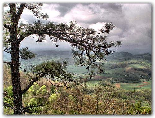
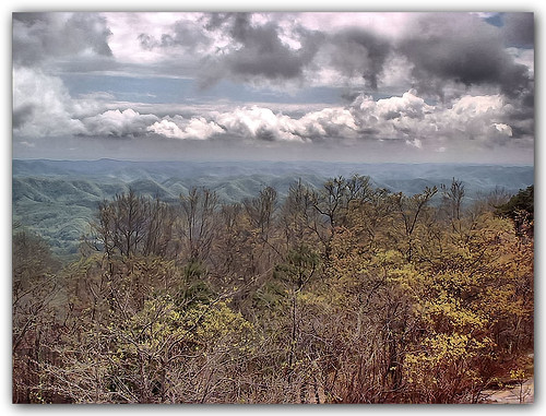
trees mountain tower clouds landscape virginia explore mendota washingtoncounty clinchmountain artistictreasurechest
Mountain View
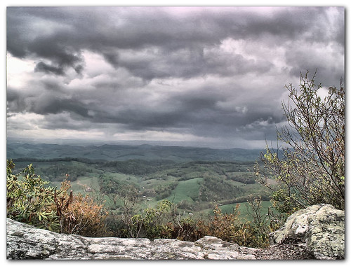
mountain rock clouds virginia russellcounty washingtoncounty goldstaraward artistictreasurechest
Mountain View
mountain tower clouds landscape virginia mendota washingtoncounty clinchmountain
View from the Clouds
square squareformat iphoneography instagramapp uploaded:by=instagram
Sunny's Markings from the rear view!
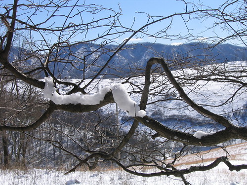
lebanon snow virginia clinchmountain
Another view of Clinch Mountain
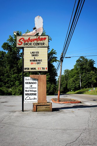
sign bristol boot shoe virginia cowboy neon suburban ghost va roadside streetview leehighway usroute11
suburban cowboys
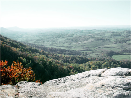
trees mountain mountains rock skyline virginia haze view mendota mountainsanywhere
medota, virginia
longexposure water bristol flow 350d waterfall slow falls slowshutter shutter silky shutterspeed abramsfalls xti rebelxti
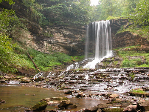
Abrams Falls
longexposure blackandwhite bw white black water flow waterfall falls abrams abramsfalls
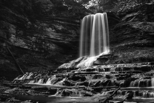
Abrams Falls
baptist churchsign abingdonva
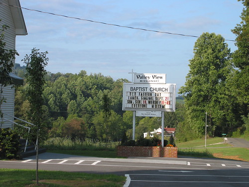
Valley View Baptist Church Sign
virginia waterfall abramsfalls worldbest
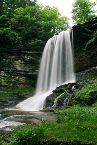
Abrams Falls, Virginia
autumn night cars landscape lights sign signs botetourtcounty brunswickforgeroad virginia botetourt
2013.11.14.36 ISO 6400
panorama night bristol landscape virginia ryanwaldon
Bristol Night Skyline
IMG00118-20100815-1324
sunset lebanon tree virginia
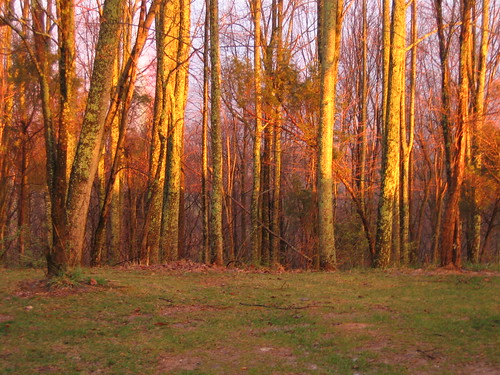
Spring sunset colors.
road autumn fall landscape virginia russellcounty
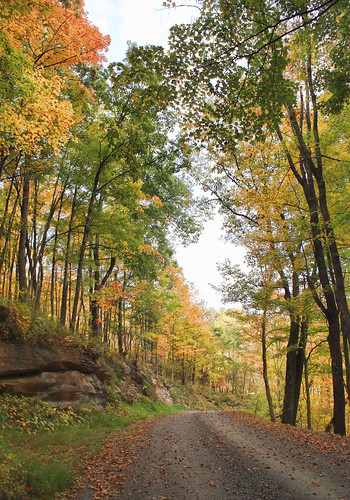
Copper Ridge Road
IMG00119-20100815-1324
IMG00117-20100815-1323
mountain virginia bolton clinchmountain moccasinvalley
Expecting snow at night...
geotagged geo:lat=3668946570 geo:lon=8231829484
615 to Carter Fold
lebanon fall leaves virginia
Leaves changing in Virginia
Camera Roll-999
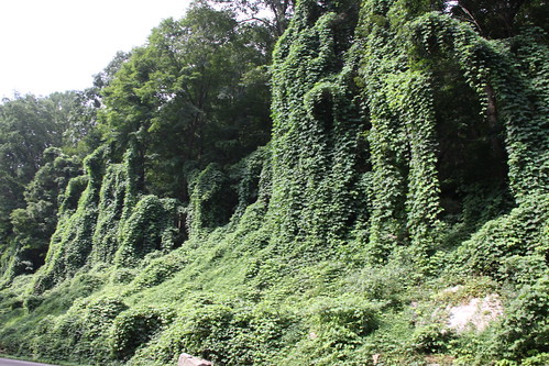
johndouglas johndouglaswayside wayside highway byway va virginia alt58 highway58 alternate58 kudzu elichristman elijahchristman ejc elijahjameschristman elichristmanrva elijameschristman elijahchristmanrva elichristmanrichmondva elichristmanrichmondvirginia elijahchristmanrichmondva elijahchristmanrichmondvirginia
John Douglas Wayside
IMG00122-20100815-1331
johndouglas johndouglaswayside wayside highway byway va virginia alt58 highway58 alternate58 kudzu elichristman elijahchristman ejc elijahjameschristman elichristmanrva elijameschristman elijahchristmanrva elichristmanrichmondva elichristmanrichmondvirginia elijahchristmanrichmondva elijahchristmanrichmondvirginia
John Douglas Wayside