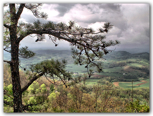
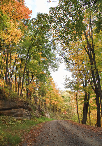
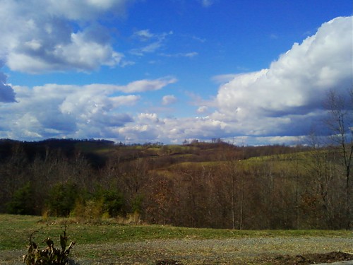
Elevation of Clinch Mountain Road, Clinch Mountain Rd, Lebanon, VA, USA
Location: United States > Virginia > Russell County > Lebanon > Lebanon >
Longitude: -82.180932
Latitude: 36.7959089
Elevation: -10000m / -32808feet
Barometric Pressure: 295KPa
Related Photos:
Topographic Map of Clinch Mountain Road, Clinch Mountain Rd, Lebanon, VA, USA
Find elevation by address:

Places near Clinch Mountain Road, Clinch Mountain Rd, Lebanon, VA, USA:
11169 Mendota Rd
2210 Flats Cir
80 Crossroads Pl
Smith Creek Road
Mendota Road
94 Altamont Dr
91 Crossridge Rd
14372 Large Hollow Rd
Large Hollow Road
15244 Dysart Dr
16006 Brumley Gap Rd
16006 Brumley Gap Rd
10509 Porterfield Hwy
Mendota Rd, Abingdon, VA, USA
16341 Brumley Gap Rd
15951 Large Hollow Rd
Lebanon
T 1078
2363 Green Valley Rd
335 Old Fincastle Rd
Recent Searches:
- Elevation of Corso Fratelli Cairoli, 35, Macerata MC, Italy
- Elevation of Tallevast Rd, Sarasota, FL, USA
- Elevation of 4th St E, Sonoma, CA, USA
- Elevation of Black Hollow Rd, Pennsdale, PA, USA
- Elevation of Oakland Ave, Williamsport, PA, USA
- Elevation of Pedrógão Grande, Portugal
- Elevation of Klee Dr, Martinsburg, WV, USA
- Elevation of Via Roma, Pieranica CR, Italy
- Elevation of Tavkvetili Mountain, Georgia
- Elevation of Hartfords Bluff Cir, Mt Pleasant, SC, USA
