Elevation of Medak, Telangana, India
Location: India > Telangana > Medak >
Longitude: 78.261853
Latitude: 18.0529357
Elevation: 465m / 1526feet
Barometric Pressure: 96KPa
Elevation Map:
Satellite Map:
Related Photos:

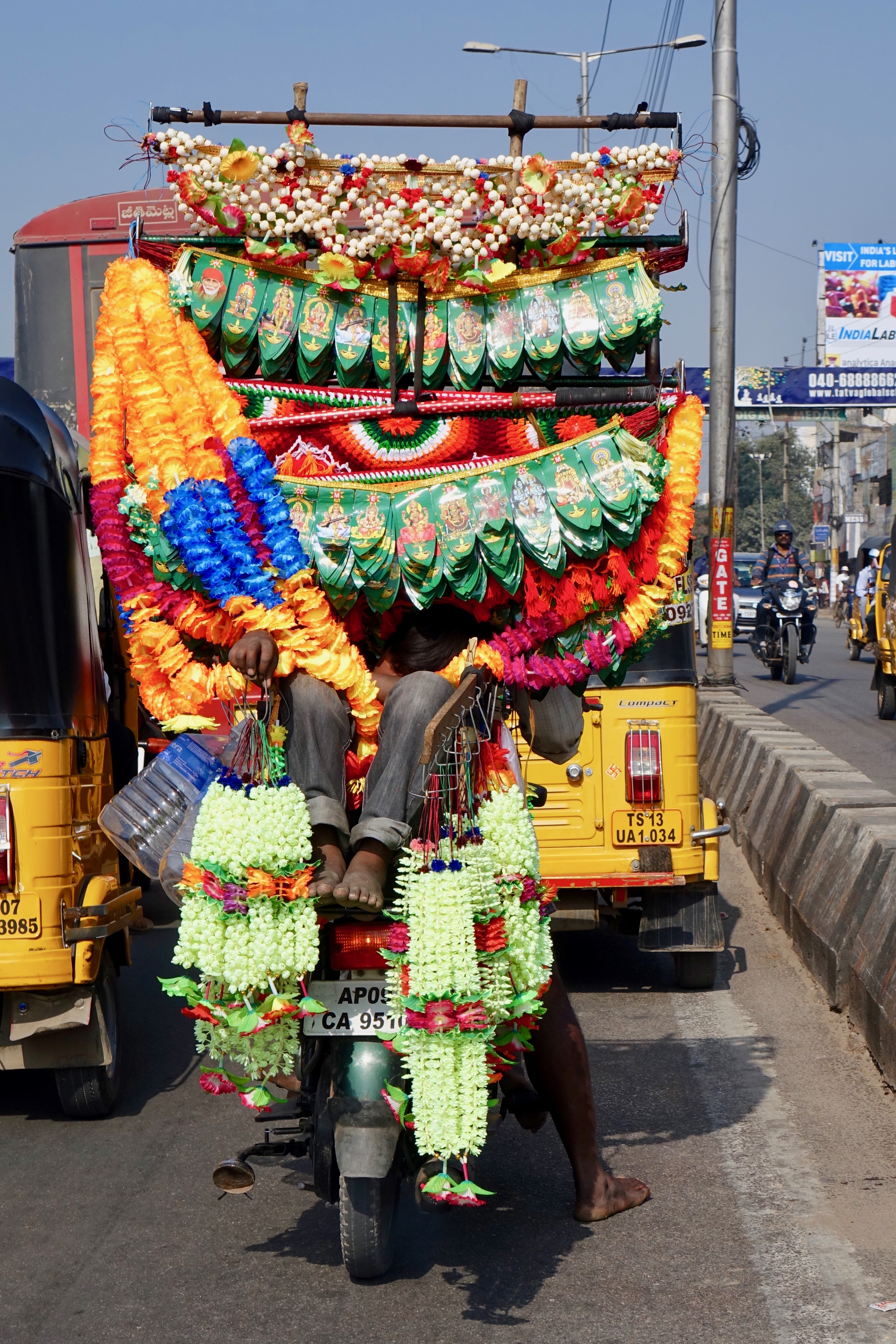
Sitaphal Sellers
Short Nap - Toran Seller
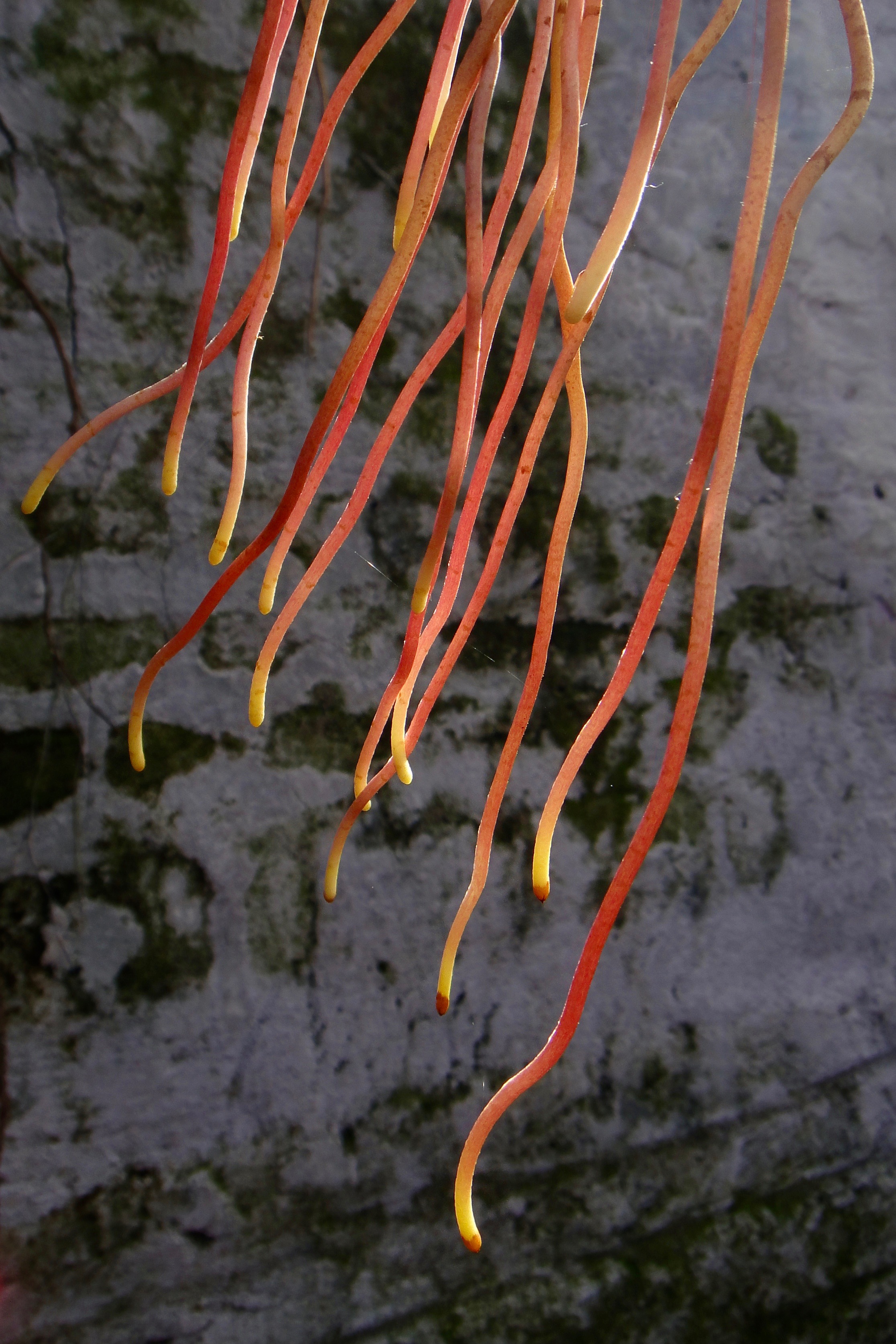
Aerial Roots of a Banyan Tree

The Cathedral Church of the Diocese-Medak #Adaytoremember #selfie #TheChurchOfHistory #68Years #200ftHeight #ThelargestDioceseofAsia #BlessedSoul #Instaupdate #snapchat #iPhoneClicks #picoftheday
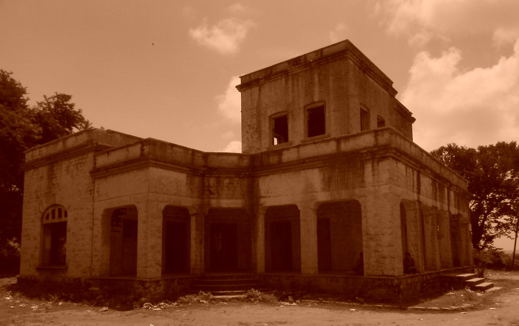
Abandoned Guest House
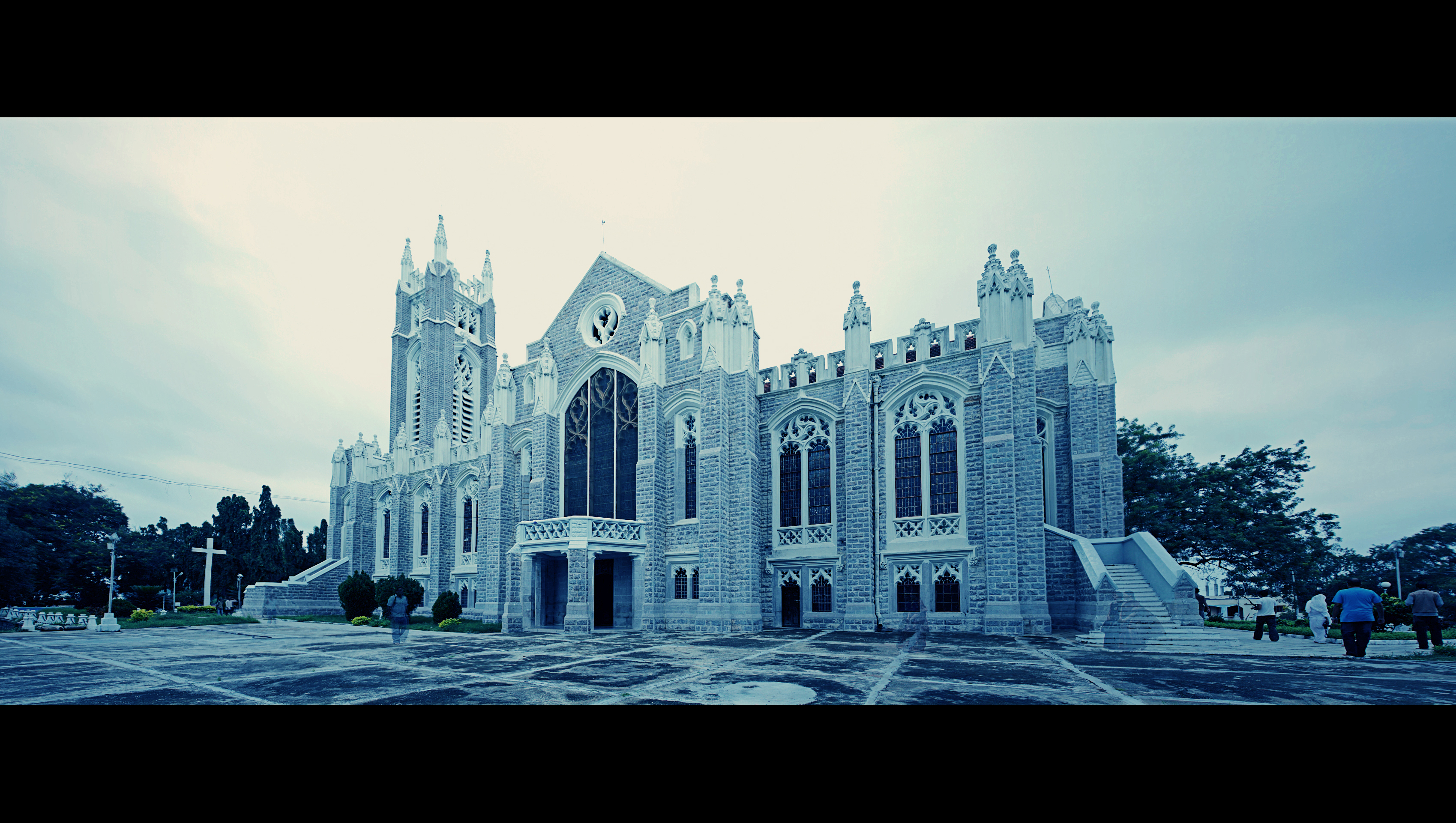
Medak Church
Topographic Map of Medak, Telangana, India
Find elevation by address:

Places near Medak, Telangana, India:
Kothapalle
Kulcharam
Kowdipally Dental Clinic
Shankarampet (r)
Kowdipally
Ramayampet
Bhiknoor
Chegunta
Medak
Tekmal
Domakonda
Shivampet
Ravelli
Daulatabad
Shankarampet A
Mirdoddi
Dubbak
Kalher
Annaram
Singur Dam
Recent Searches:
- Elevation of Corso Fratelli Cairoli, 35, Macerata MC, Italy
- Elevation of Tallevast Rd, Sarasota, FL, USA
- Elevation of 4th St E, Sonoma, CA, USA
- Elevation of Black Hollow Rd, Pennsdale, PA, USA
- Elevation of Oakland Ave, Williamsport, PA, USA
- Elevation of Pedrógão Grande, Portugal
- Elevation of Klee Dr, Martinsburg, WV, USA
- Elevation of Via Roma, Pieranica CR, Italy
- Elevation of Tavkvetili Mountain, Georgia
- Elevation of Hartfords Bluff Cir, Mt Pleasant, SC, USA