Elevation of McRae Ridge, California, USA
Location: United States > California > Plumas County >
Longitude: -120.77055
Latitude: 39.7177777
Elevation: 2281m / 7484feet
Barometric Pressure: 77KPa
Elevation Map:
Satellite Map:
Related Photos:
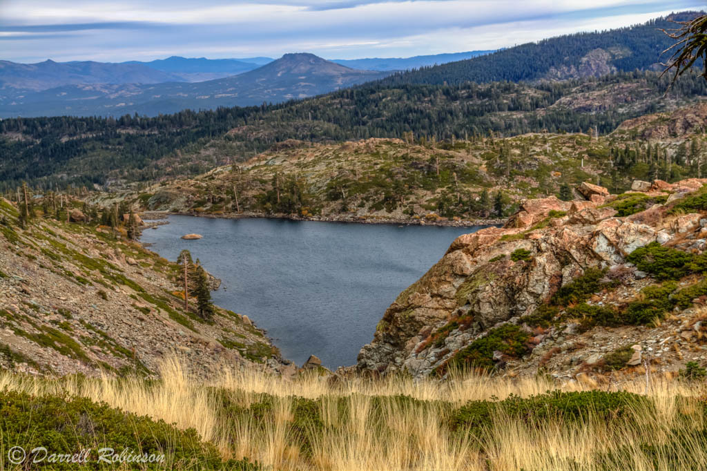
Trail Side View

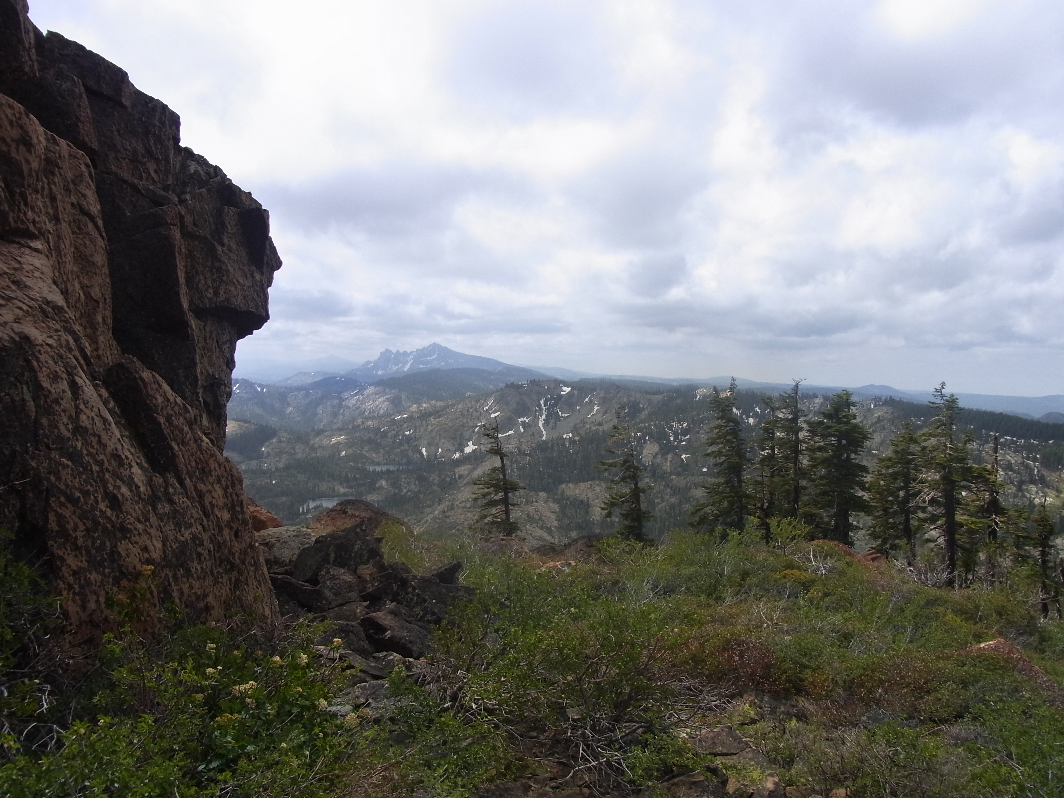
I Can See for Miles and Miles

Frazier Falls

Mountain Lakes below Mount Elwell in the Plumas National Forest (elwell88x)
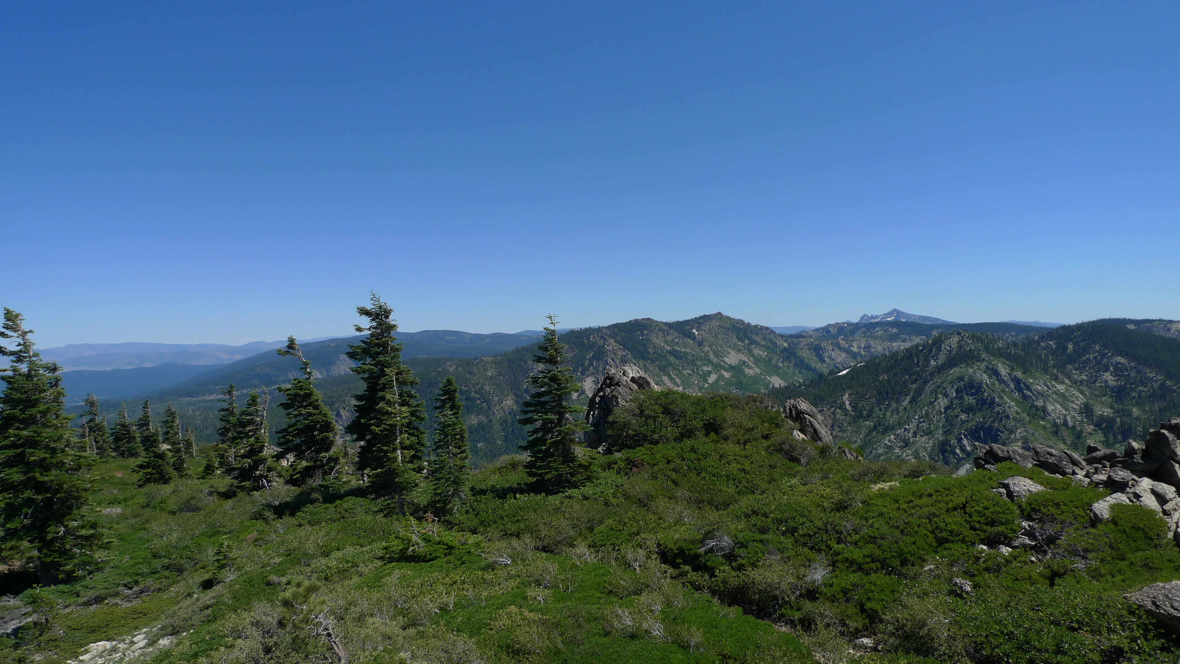
First view of Sierra Buttes
View from S Eureka Peak
Topographic Map of McRae Ridge, California, USA
Find elevation by address:

Places near McRae Ridge, California, USA:
Eureka Peak
Eureka Lake
Mount Elwell
Plumas-eureka State Park
Johnsville
Plumas Eureka
65 Eureka Springs Dr
Gold Lake Highway
293 Eureka Springs Dr
482 Smith Creek Rd
409 Lundy Ln
20 Bee Ranch Rd
88 Yonkalla Trail
15 Yokut Trail
Yokut Trail
Graeagle
Blairsden-graeagle
9 Wintun Trail
9 Wintun Trail
Wishram Trail
Recent Searches:
- Elevation of Corso Fratelli Cairoli, 35, Macerata MC, Italy
- Elevation of Tallevast Rd, Sarasota, FL, USA
- Elevation of 4th St E, Sonoma, CA, USA
- Elevation of Black Hollow Rd, Pennsdale, PA, USA
- Elevation of Oakland Ave, Williamsport, PA, USA
- Elevation of Pedrógão Grande, Portugal
- Elevation of Klee Dr, Martinsburg, WV, USA
- Elevation of Via Roma, Pieranica CR, Italy
- Elevation of Tavkvetili Mountain, Georgia
- Elevation of Hartfords Bluff Cir, Mt Pleasant, SC, USA