Elevation of McNett Township, PA, USA
Location: United States > Pennsylvania > Lycoming County >
Longitude: -76.837499
Latitude: 41.5469614
Elevation: 561m / 1841feet
Barometric Pressure: 95KPa
Elevation Map:
Satellite Map:
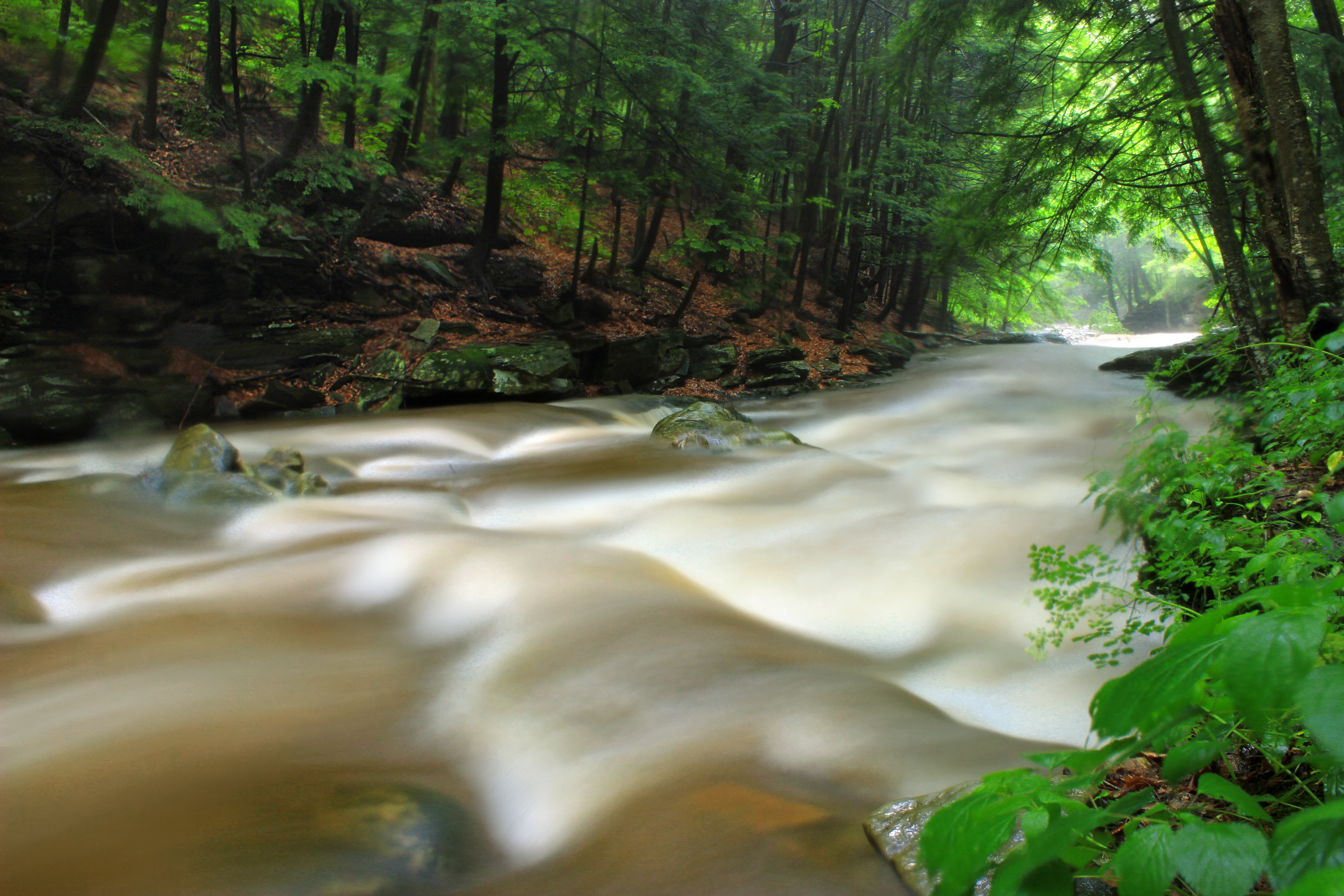
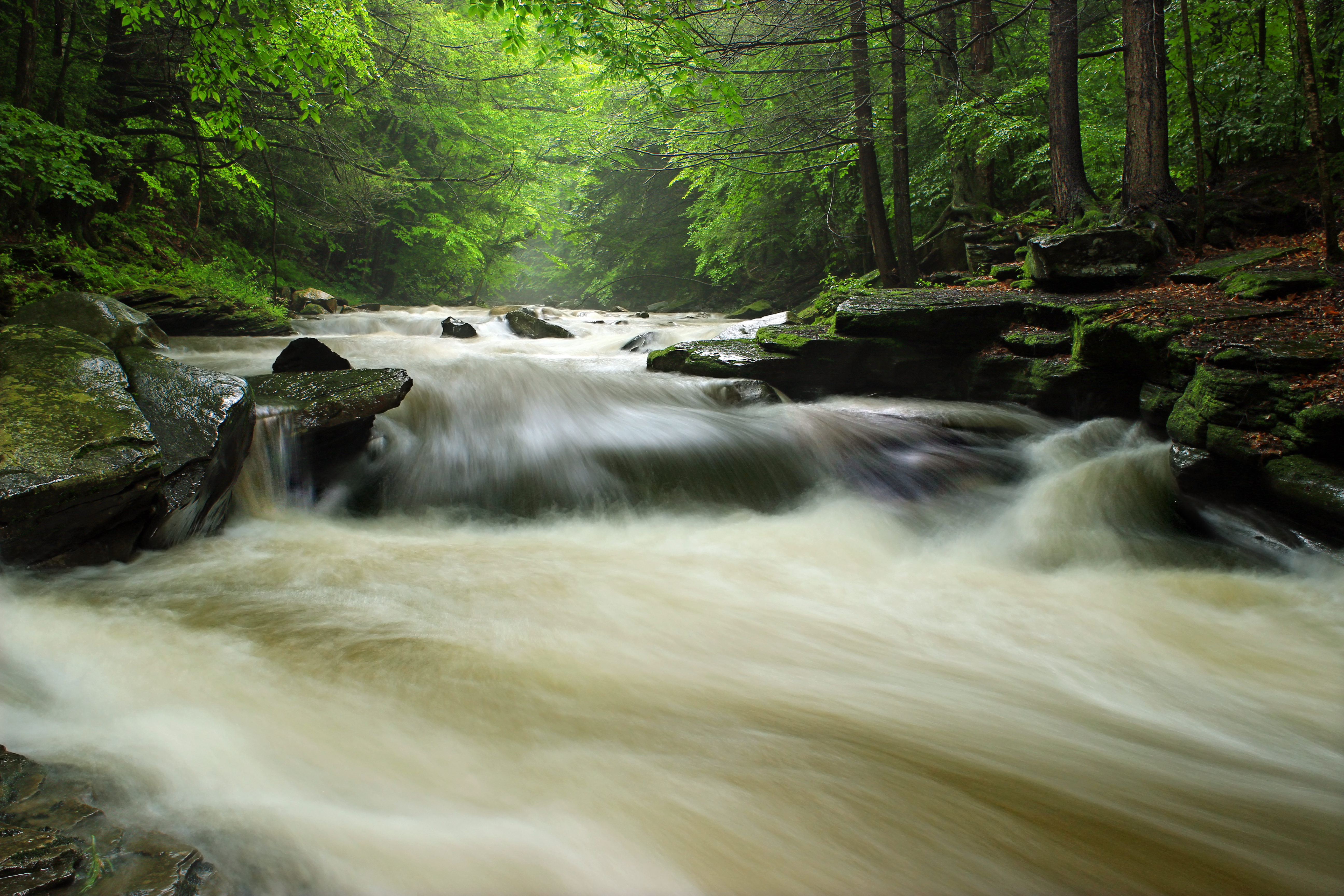
Related Photos:
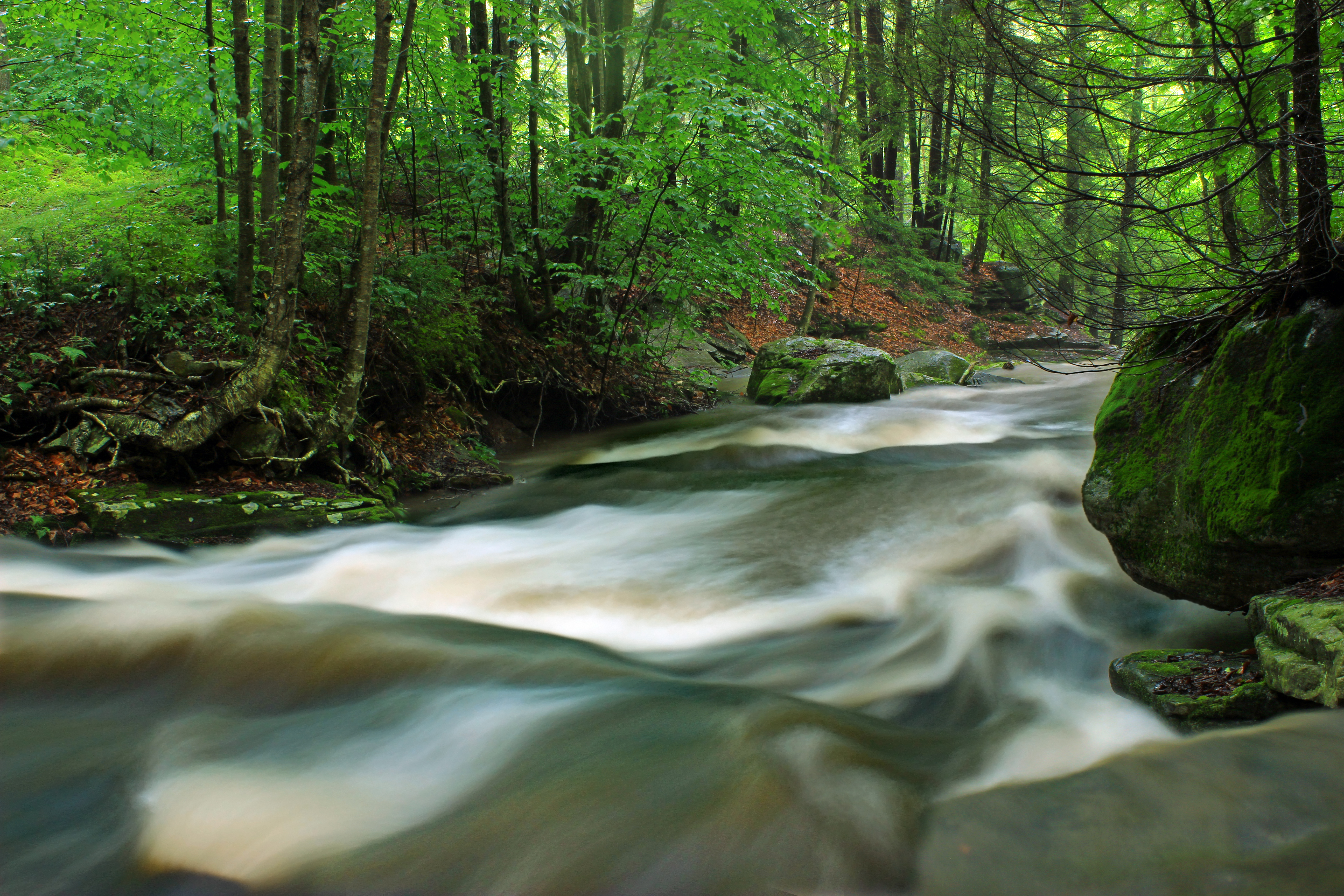
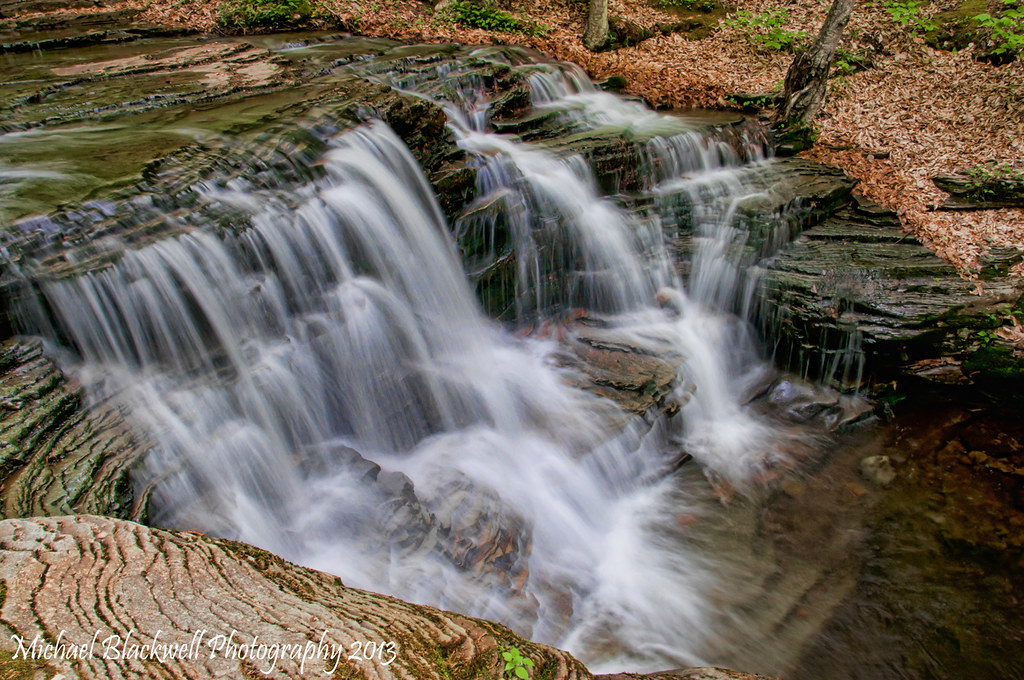
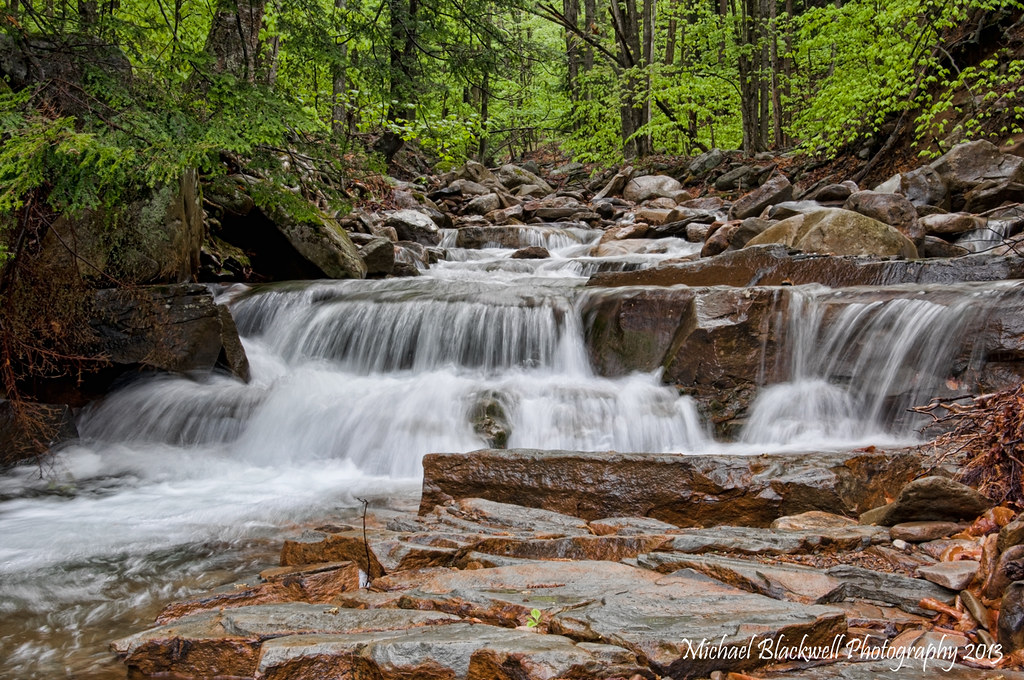
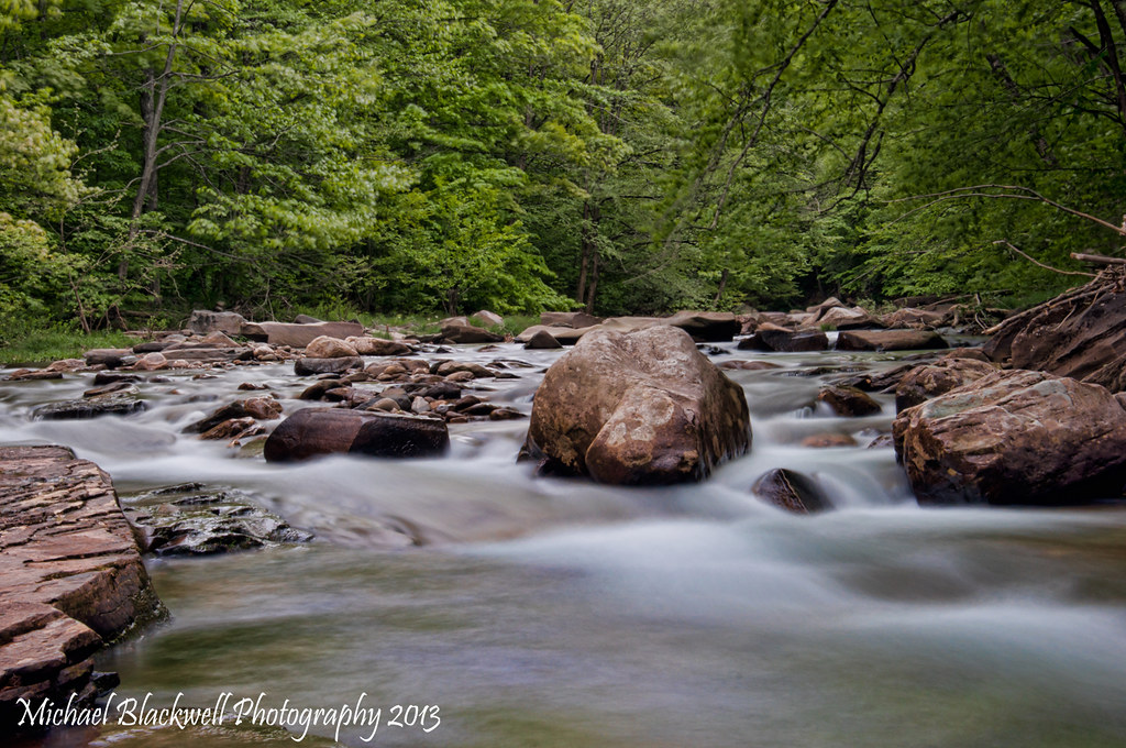
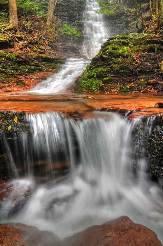
Upper Rock Run Gorge (1)
Upper Rock Run Gorge (3)

Upper Rock Run Gorge (5)

Upper Rock Run Gorge (2)
Upper Rock Run Gorge (4)
Upper Rock Run Gorge (6)
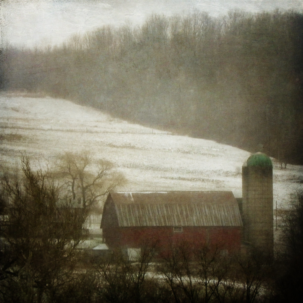
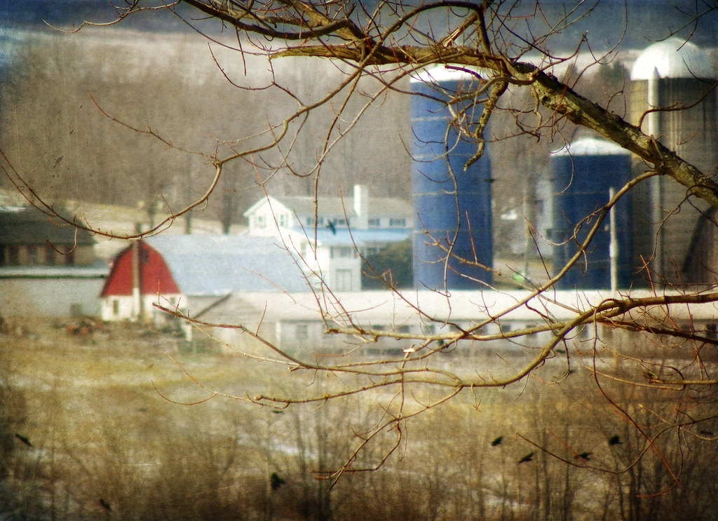
A Farm in Winter
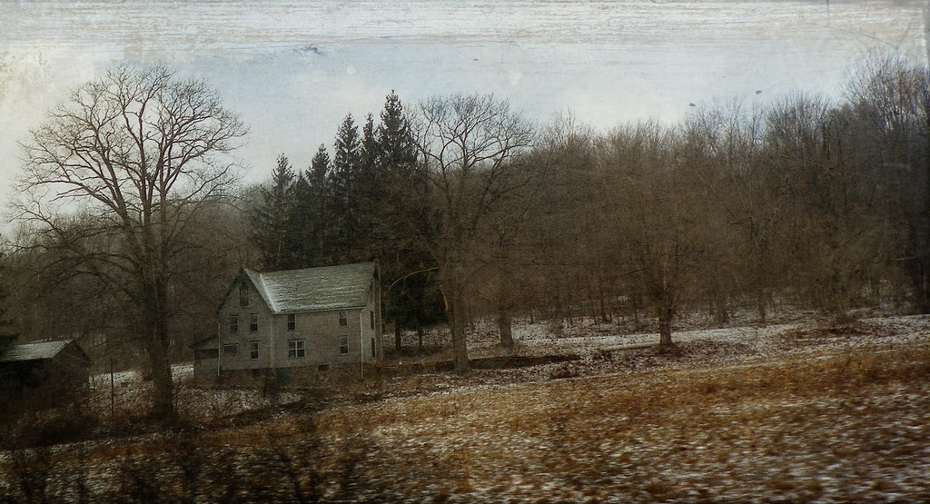
The Passage of Time
051113-2-WEB-copyright

Camera Roll-136
Camera Roll-130
051813-8-WEB-copyright
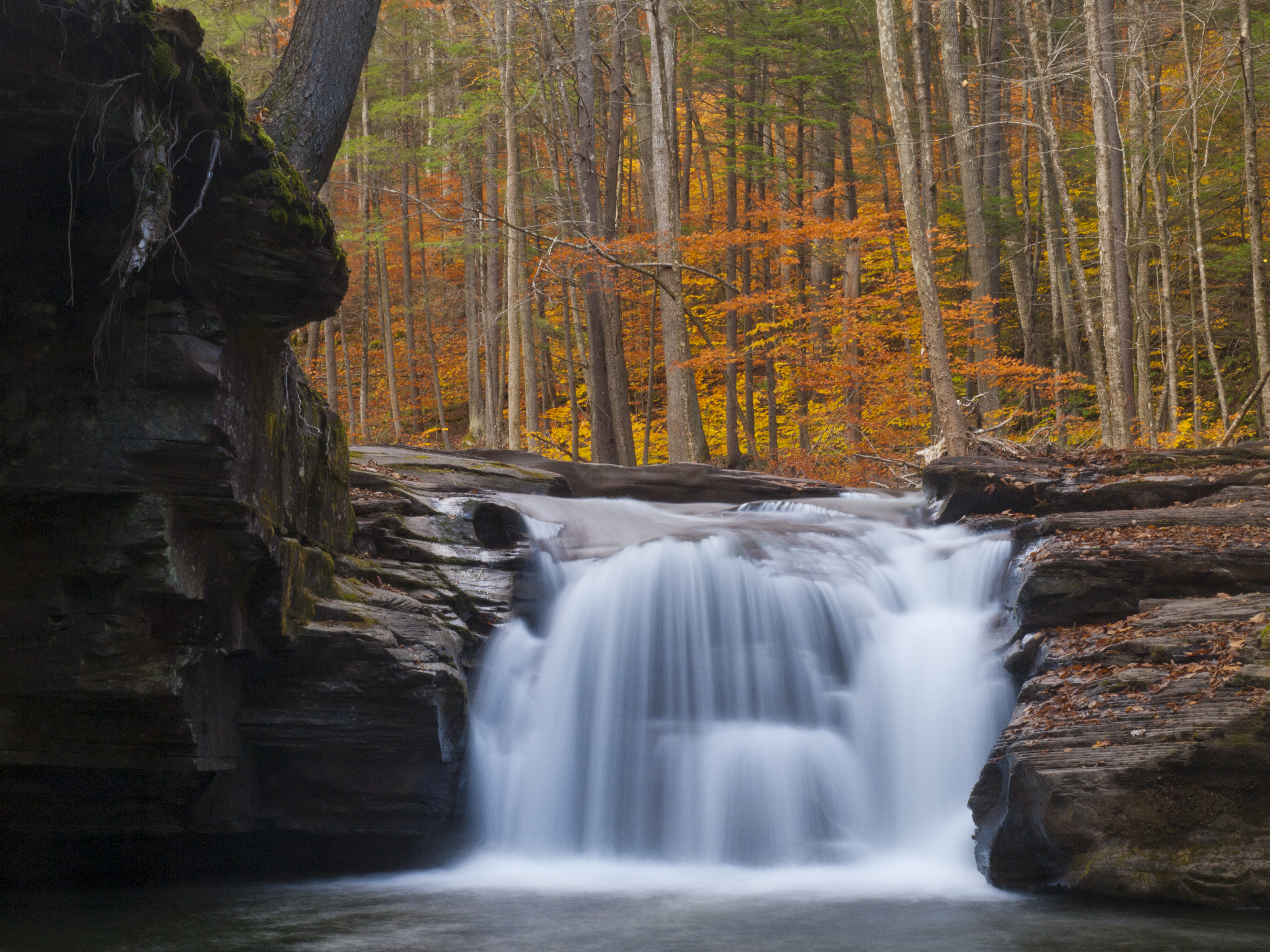
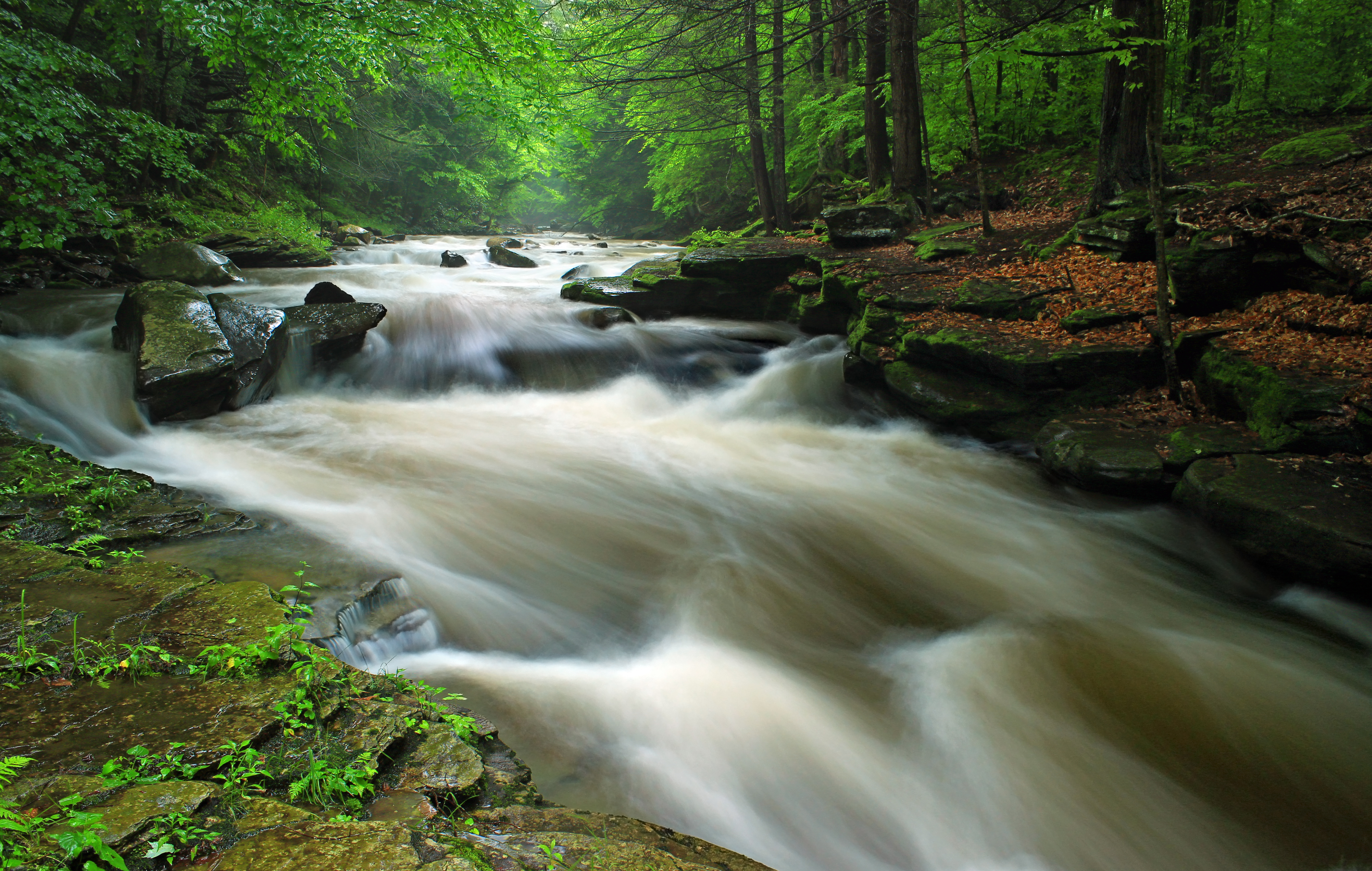
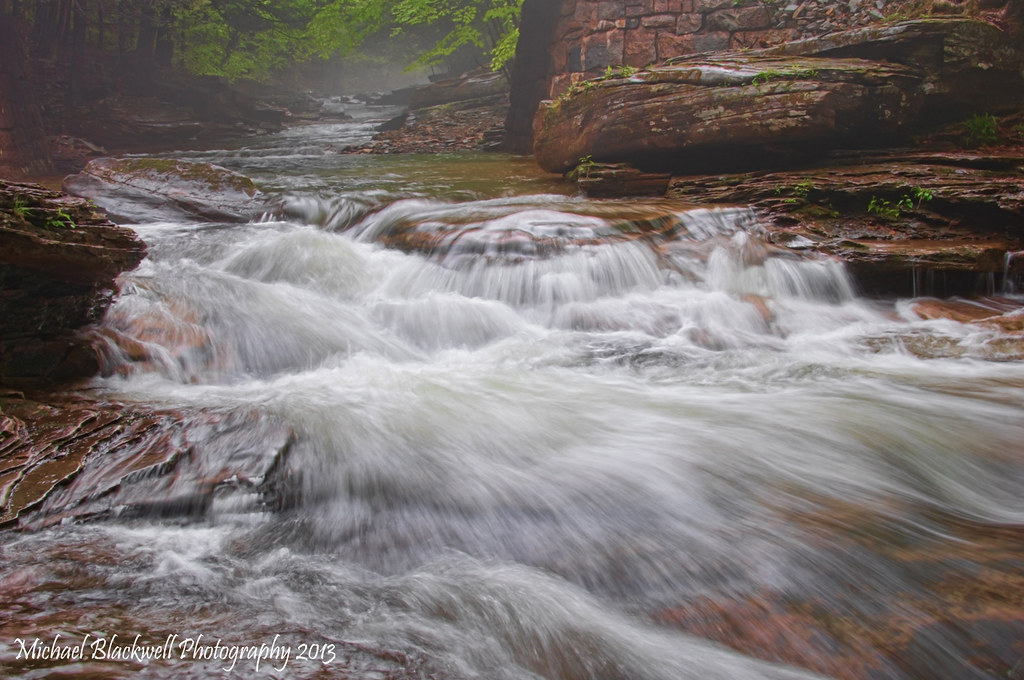
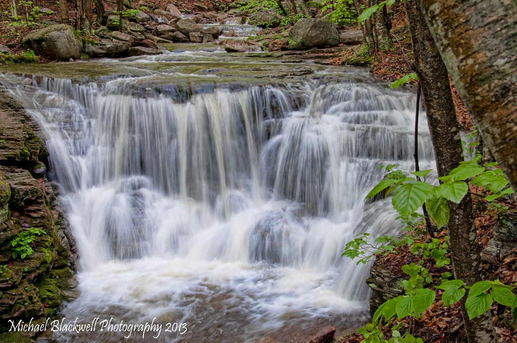
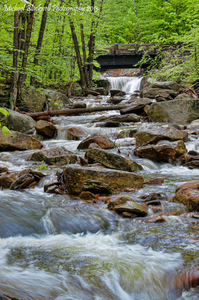
Mill Creek Falls
051113-12-WEB-copyright
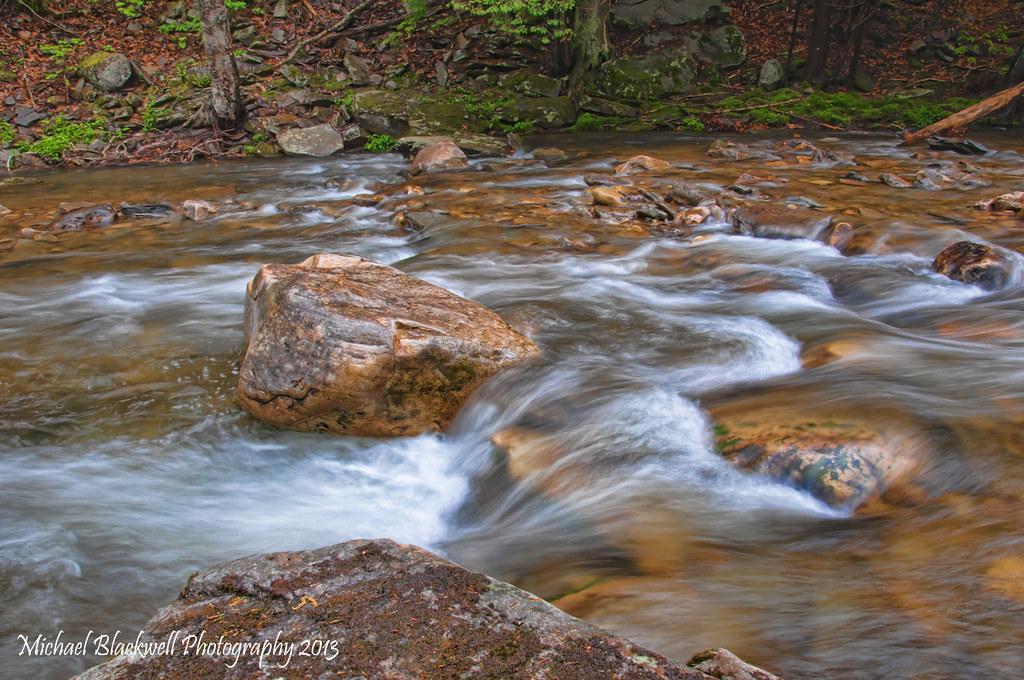
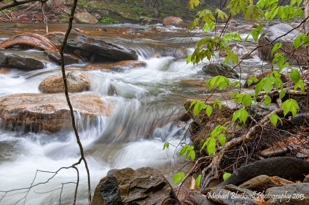
Miners run Fall 2012
051113-6-WEB-copyright
051113-8-WEB-copyright
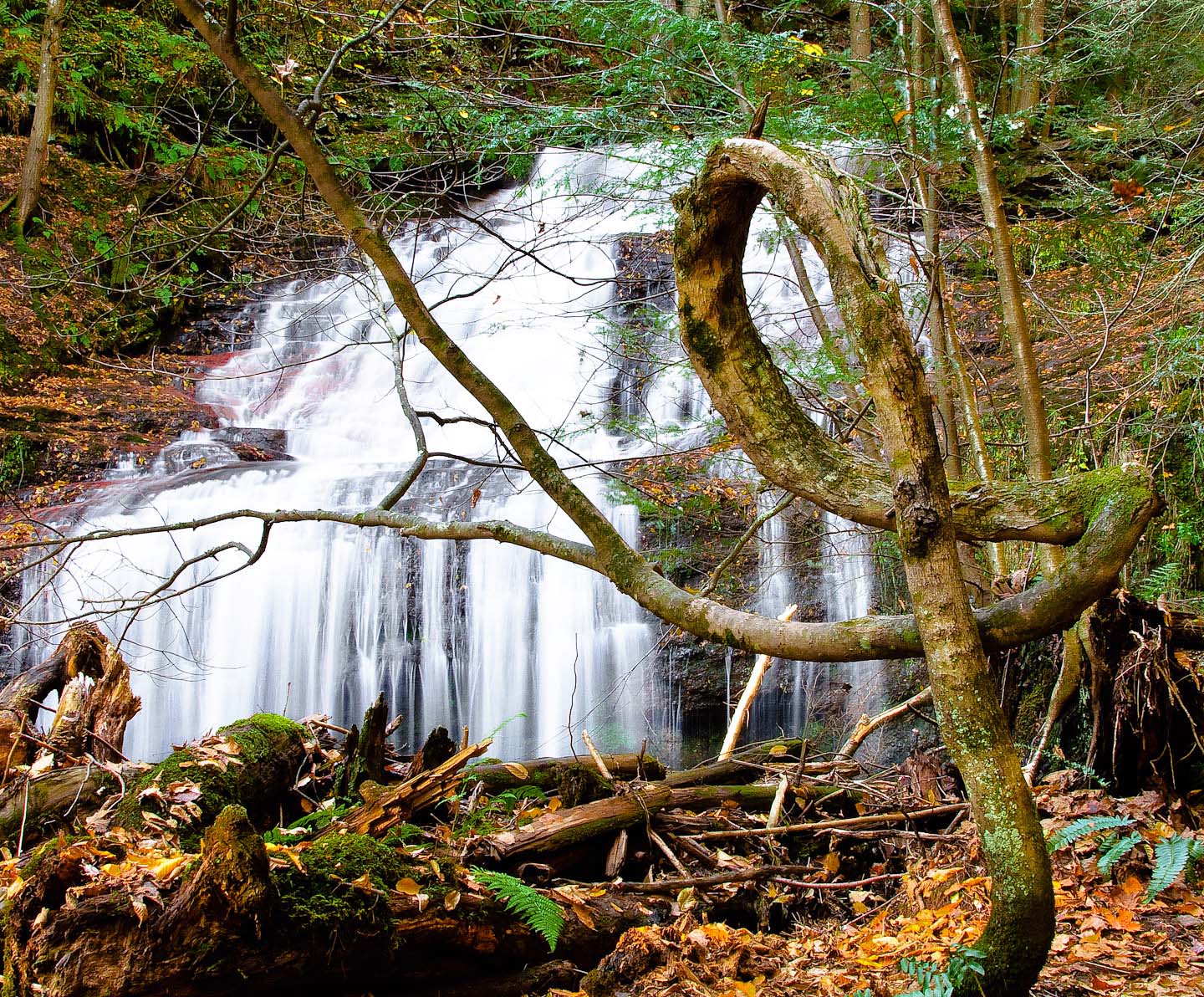
The Pretzel Tree
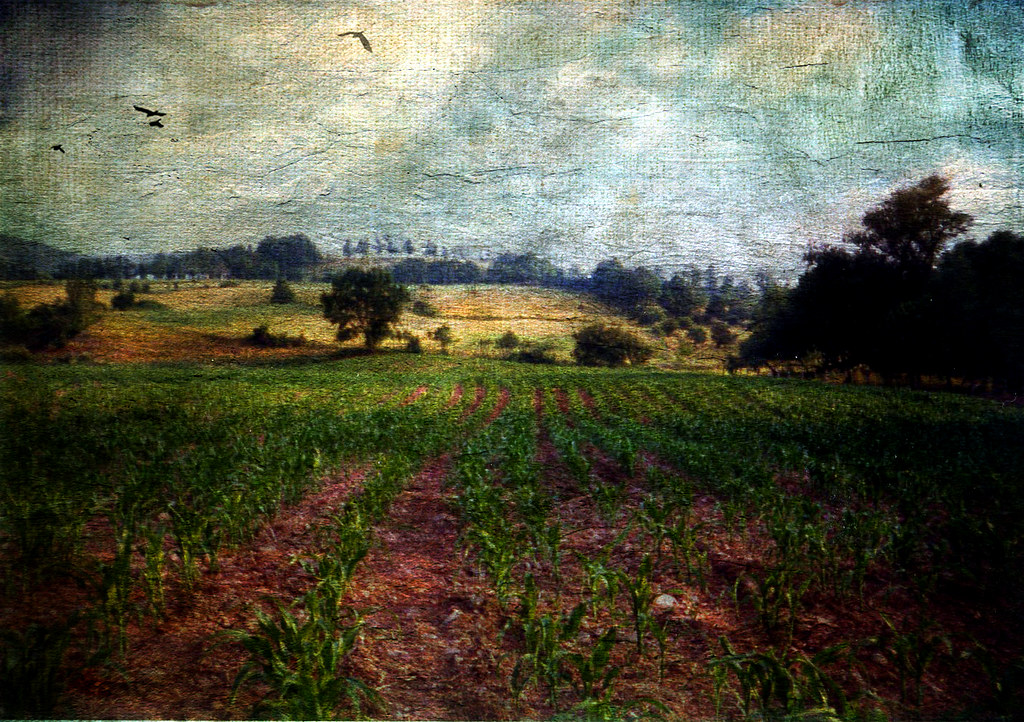
All My Memories, Neat Little Rows
051813-7-WEB-copyright
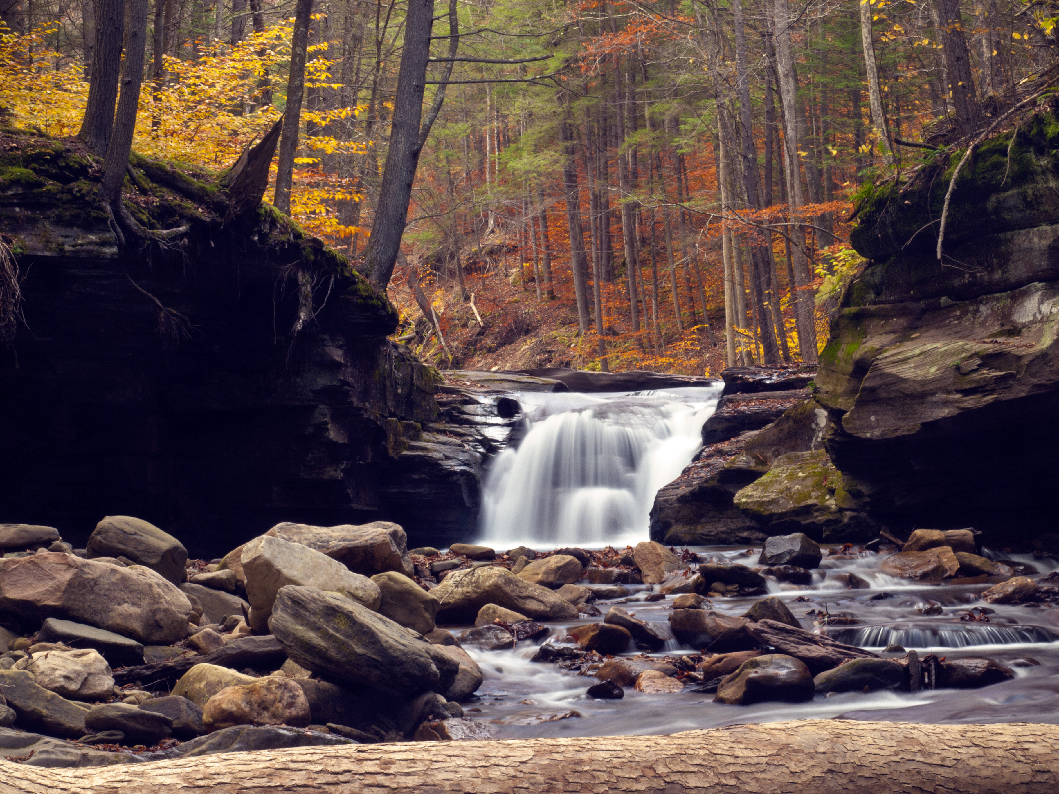
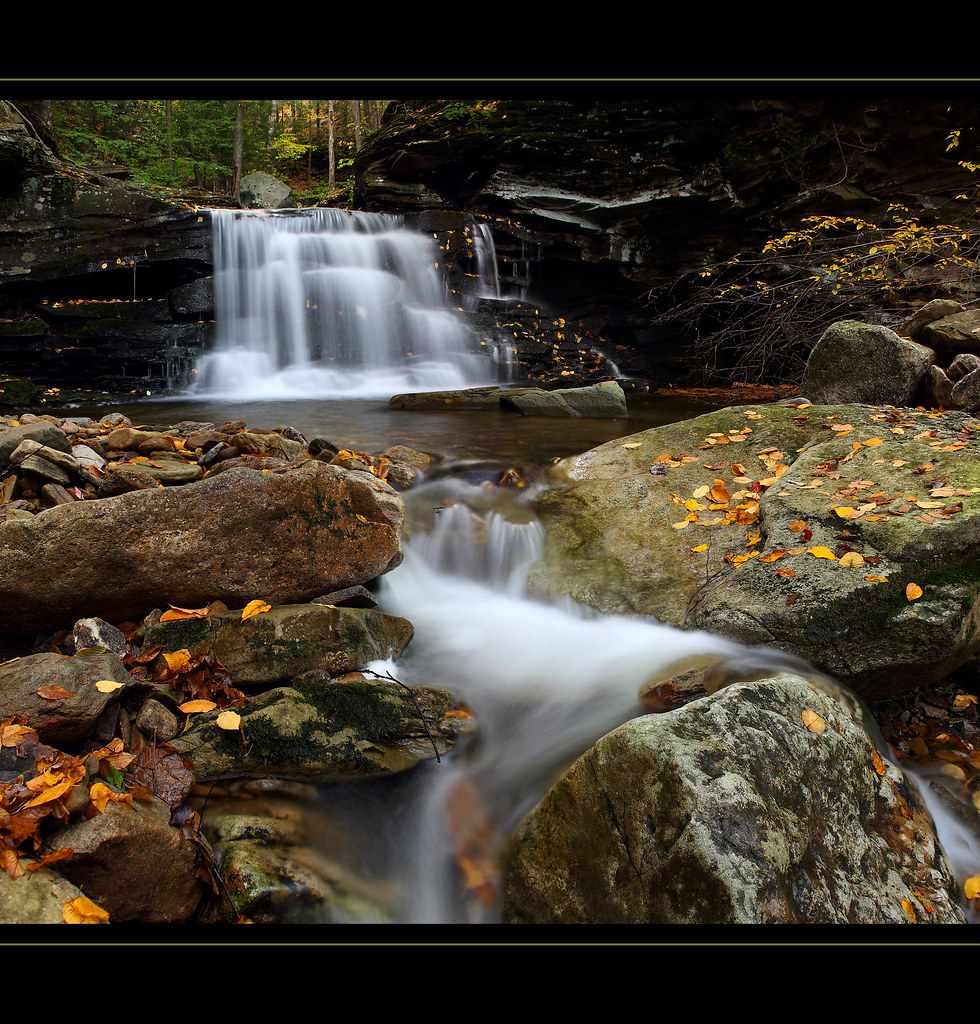
Mill Creek Falls
Finding Home
Dutchman Run (1)
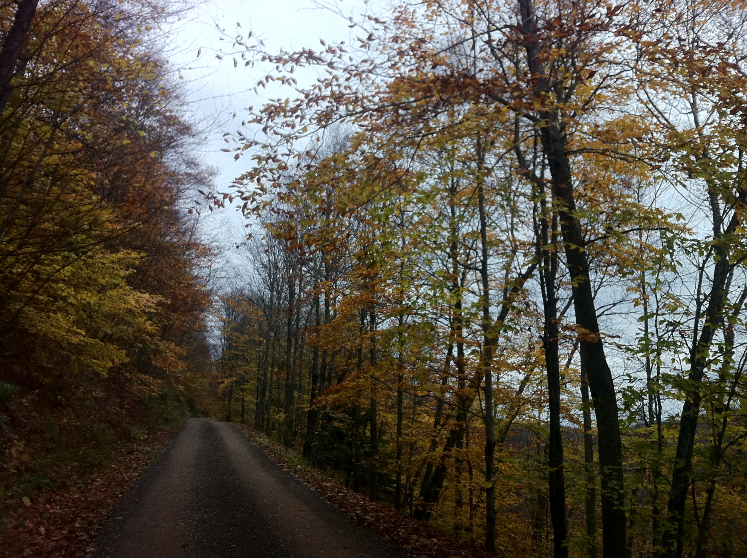
Endless Mountains

051113-5-WEB-copyright
051113-9-WEB-copyright
051113-14-WEB-copyright
Topographic Map of McNett Township, PA, USA
Find elevation by address:

Places in McNett Township, PA, USA:
Places near McNett Township, PA, USA:
27 Sr, Canton, PA, USA
PA-, Shunk, PA, USA
5972 Pa-14
Sr, Shunk, PA, USA
Canton Township
Main St, Canton, PA, USA
3002 Pa-154
Fox Township
PA-14, Roaring Branch, PA, USA
100 Dustin Ln
Shunk
PA-14, Canton, PA, USA
First Citizens Community Bank
Canton, PA, USA
85 N Minnequa Ave
Troy St, Canton, PA, USA
Canton
Roaring Branch
318 Pine Hill Rd
Gleason Rd, Canton, PA, USA
Recent Searches:
- Elevation of Corso Fratelli Cairoli, 35, Macerata MC, Italy
- Elevation of Tallevast Rd, Sarasota, FL, USA
- Elevation of 4th St E, Sonoma, CA, USA
- Elevation of Black Hollow Rd, Pennsdale, PA, USA
- Elevation of Oakland Ave, Williamsport, PA, USA
- Elevation of Pedrógão Grande, Portugal
- Elevation of Klee Dr, Martinsburg, WV, USA
- Elevation of Via Roma, Pieranica CR, Italy
- Elevation of Tavkvetili Mountain, Georgia
- Elevation of Hartfords Bluff Cir, Mt Pleasant, SC, USA