Elevation of Dustin Ln, Roaring Branch, PA, USA
Location: United States > Pennsylvania > Tioga County > Union Township > Roaring Branch >
Longitude: -76.922690
Latitude: 41.5848527
Elevation: 431m / 1414feet
Barometric Pressure: 96KPa
Elevation Map:
Satellite Map:
Related Photos:
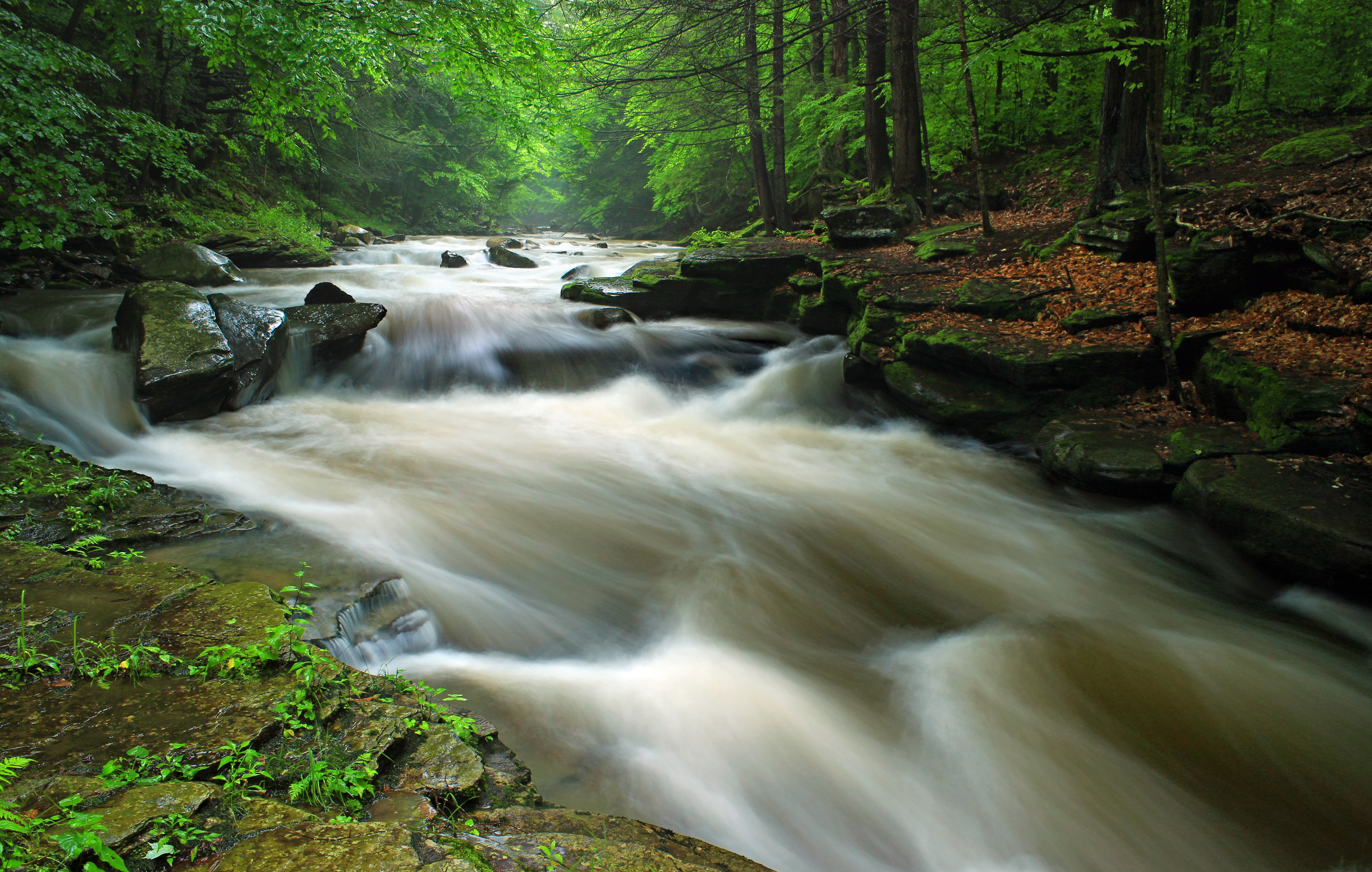
Upper Rock Run Gorge (3)
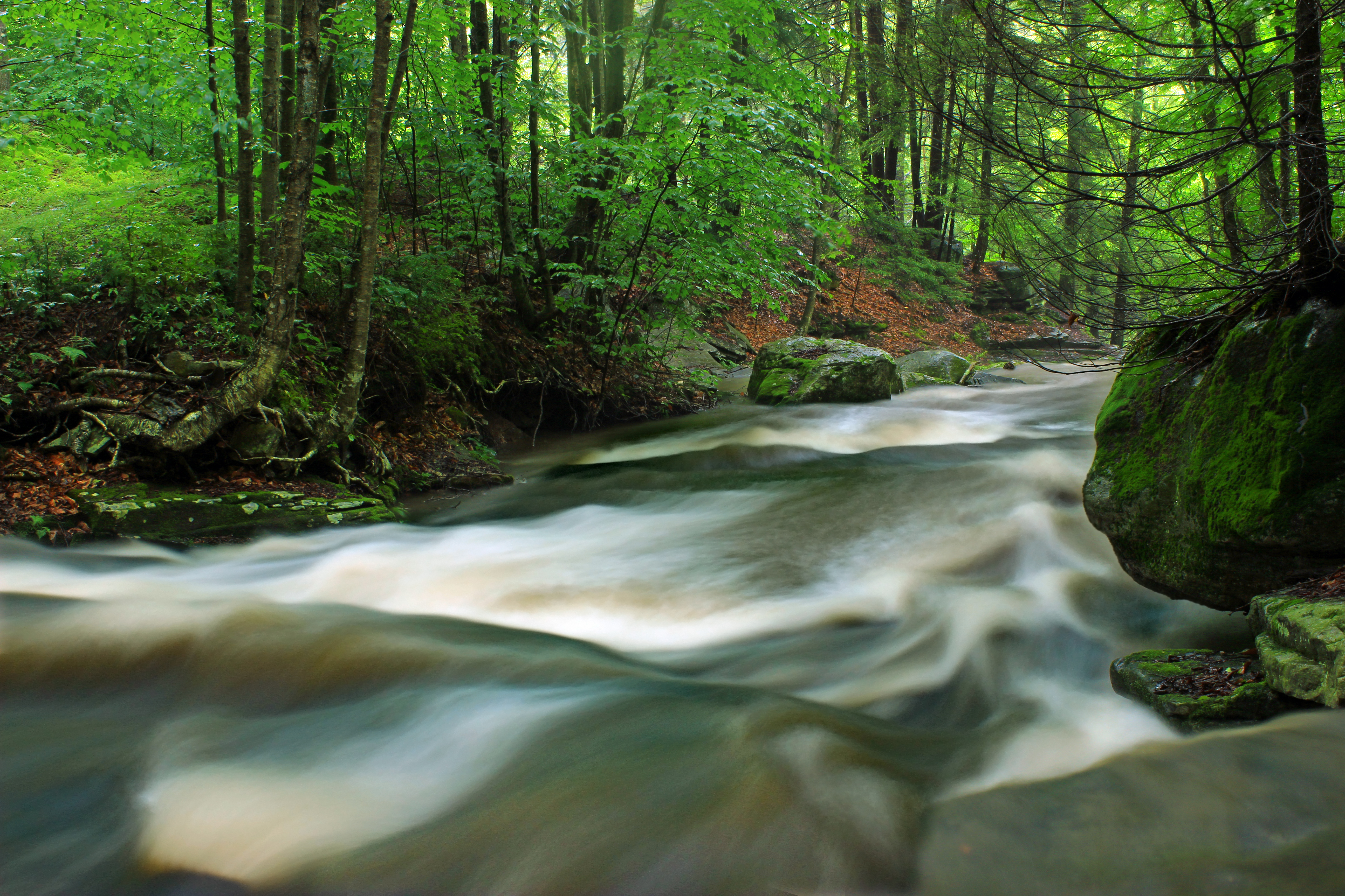
Upper Rock Run Gorge (1)

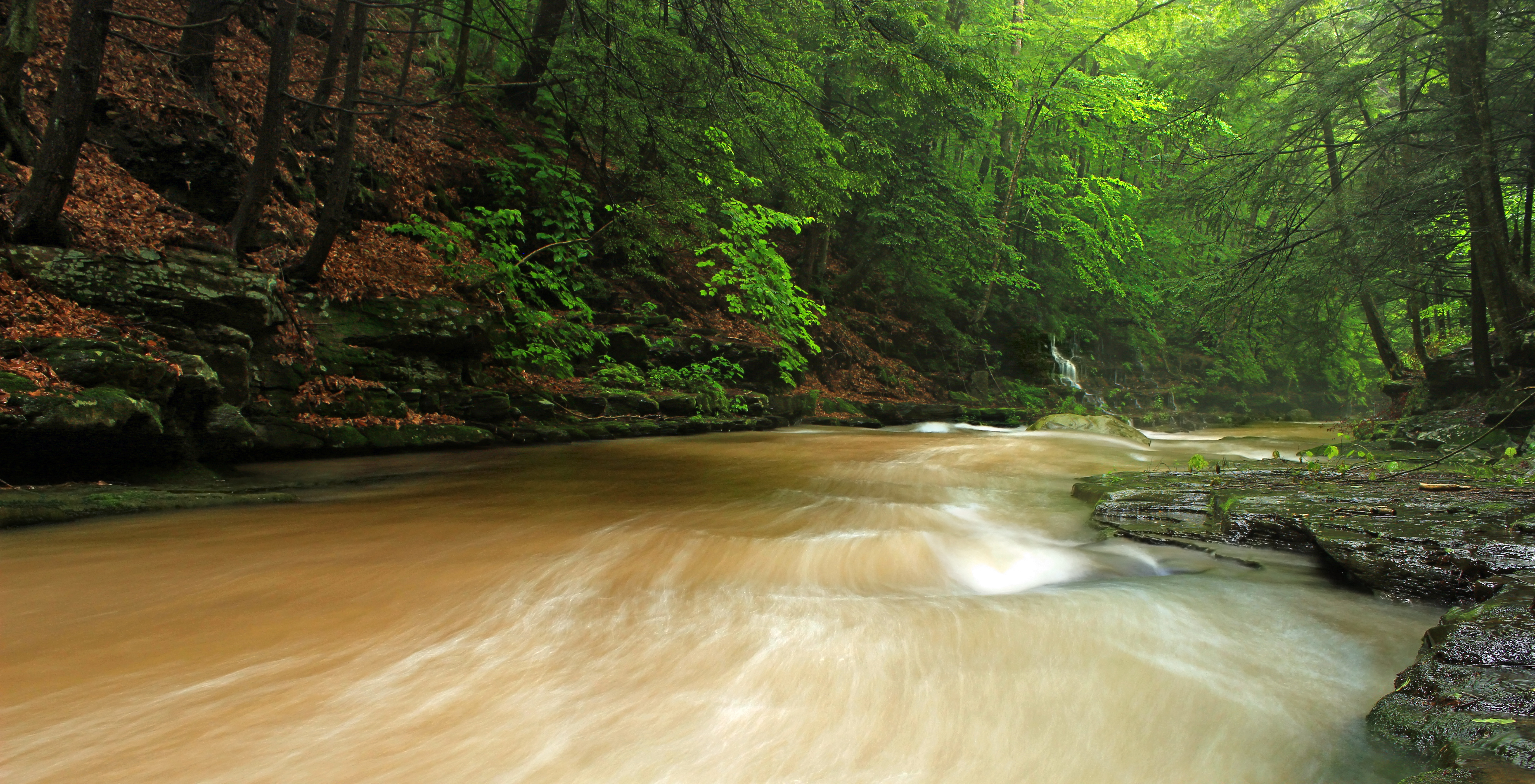
Upper Rock Run Gorge (5)
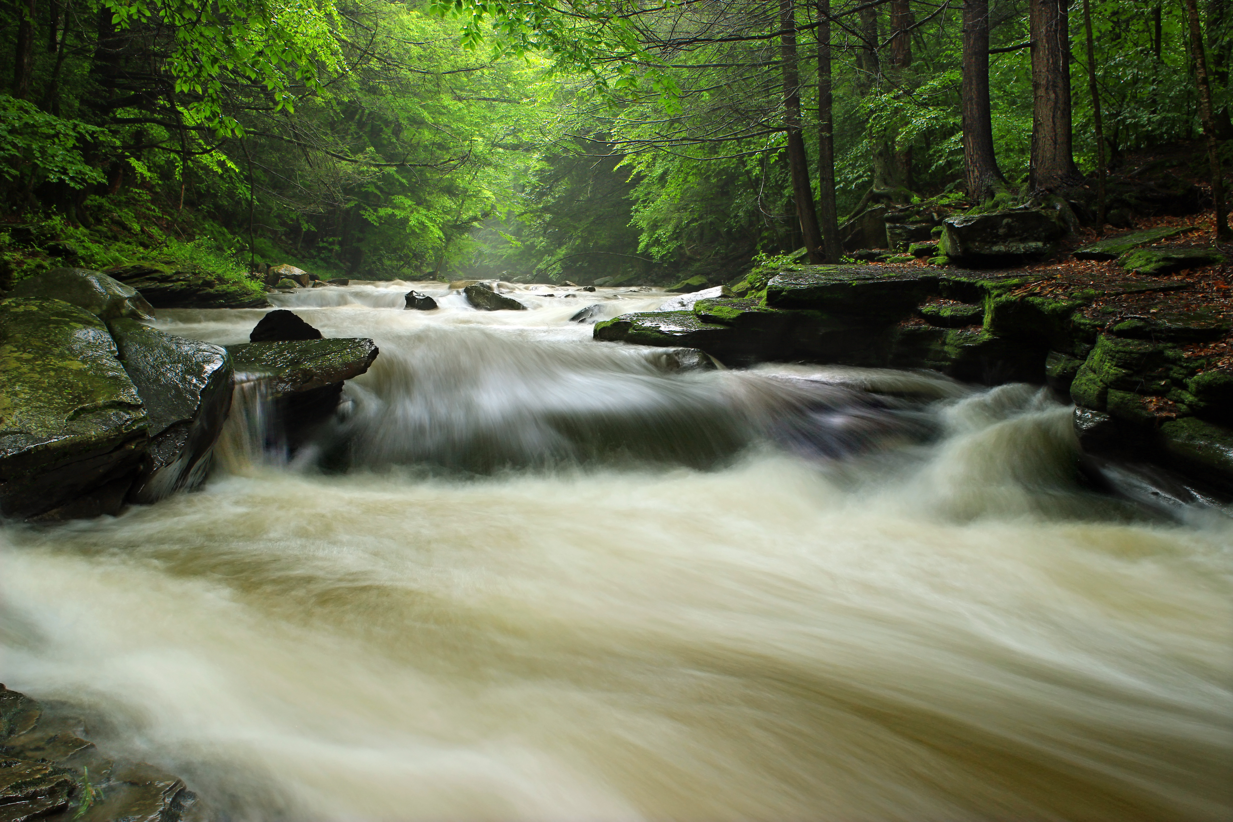
Upper Rock Run Gorge (2)

Upper Rock Run Gorge (4)
Upper Rock Run Gorge (6)

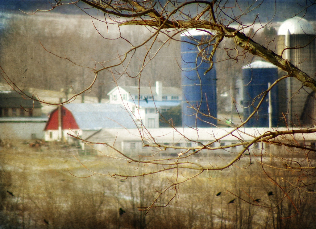
A Farm in Winter

The Passage of Time

Acid Mine Contamination (1)

Reflected (3)

McIntyre Cemetery (3)

McIntyre Cemetery (2)

Phi-Del-Mont

Ralston - 1978

Canton 2015-133

Dutchman Run (1)

Canton 2015-129

Hawk Run (1)
Finding Home

All My Memories, Neat Little Rows

Reflected (2)

Canton 2015-114
Topographic Map of Dustin Ln, Roaring Branch, PA, USA
Find elevation by address:

Places near Dustin Ln, Roaring Branch, PA, USA:
PA-14, Roaring Branch, PA, USA
Roaring Branch
318 Pine Hill Rd
Union Township
Gleason Rd, Canton, PA, USA
5972 Pa-14
Main St, Canton, PA, USA
PA-14, Canton, PA, USA
Canton Township
Mcnett Township
Mcintyre Township
First Citizens Community Bank
Canton
Troy St, Canton, PA, USA
85 N Minnequa Ave
3002 Pa-154
27 Sr, Canton, PA, USA
Canton, PA, USA
PA-, Shunk, PA, USA
Sr, Shunk, PA, USA
Recent Searches:
- Elevation of Corso Fratelli Cairoli, 35, Macerata MC, Italy
- Elevation of Tallevast Rd, Sarasota, FL, USA
- Elevation of 4th St E, Sonoma, CA, USA
- Elevation of Black Hollow Rd, Pennsdale, PA, USA
- Elevation of Oakland Ave, Williamsport, PA, USA
- Elevation of Pedrógão Grande, Portugal
- Elevation of Klee Dr, Martinsburg, WV, USA
- Elevation of Via Roma, Pieranica CR, Italy
- Elevation of Tavkvetili Mountain, Georgia
- Elevation of Hartfords Bluff Cir, Mt Pleasant, SC, USA