Elevation of McMullen Allen Rd, Newton Falls, OH, USA
Location: United States > Ohio > Portage County >
Longitude: -81.003466
Latitude: 41.1730877
Elevation: 288m / 945feet
Barometric Pressure: 98KPa
Elevation Map:
Satellite Map:
Related Photos:

CSX Newton Falls Branch

HERE TODAY, GONE TOMORROW...MAHONING COUNTY, OHIO

Over the Bridge in Newton Falls

Summer View

Leavittsburg Today

Newton Falls manipulation chart

Newton Falls US&S machine

Newton Falls tower

Newton Falls model board

Newton Falls model board

Freedom Township

Newton Falls model board

Storefront on High Street, Garrettsville Ohio

2011-05-06 11.44.44

2011-05-06 11.47.16

2011-05-06 11.47.03

RUST STAINED ROCKS...MAHONING COUNTY, OHIO

Redtail Hawk

CRAIG BEACH (2)

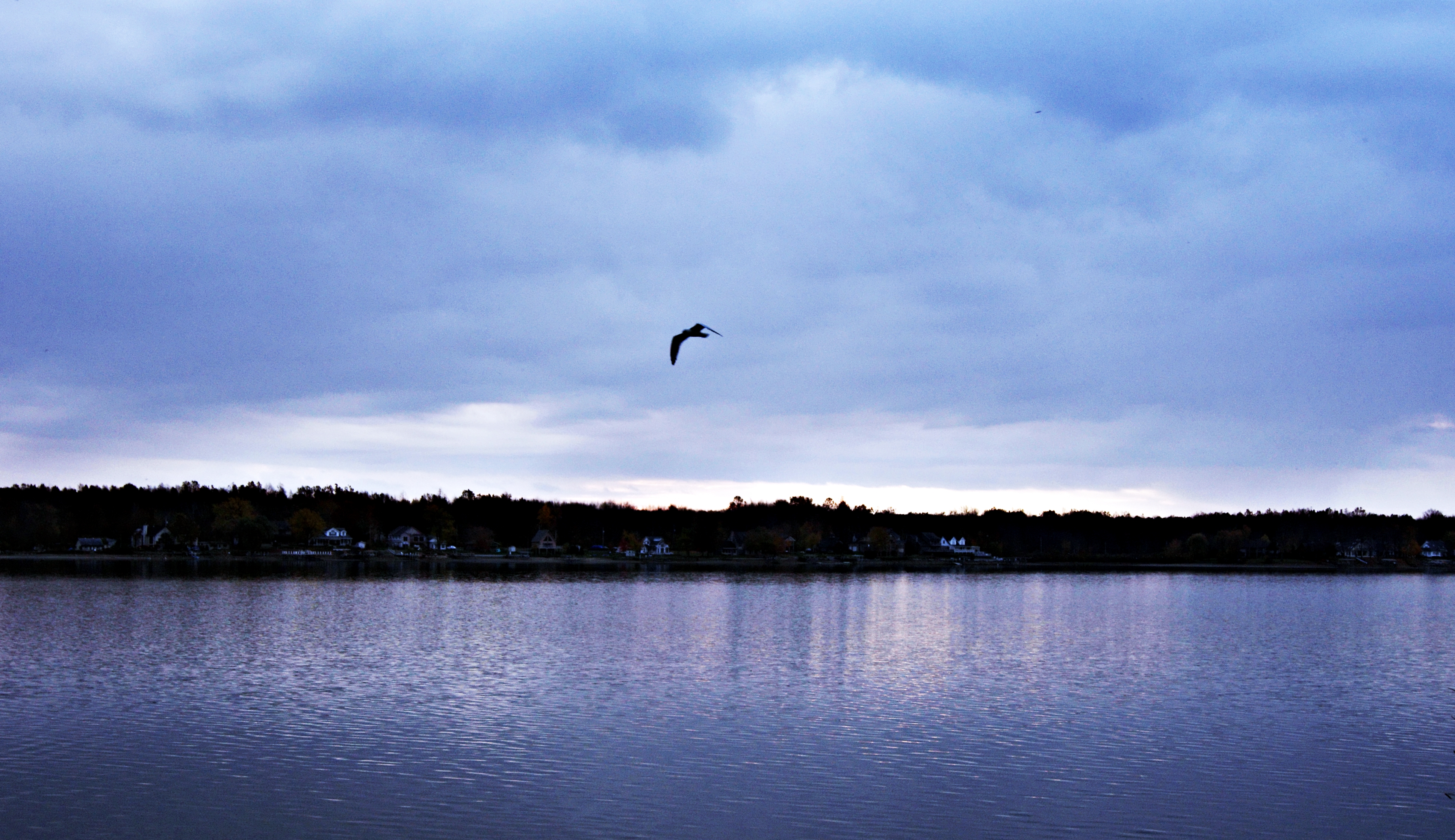
Sunset at Lake Milton with my little bird.....Perfect!!

Lake House
A walk at the beach

West Branch Dam

A Wild Rabit

West Branch State Park

CRAIG BEACH (1)

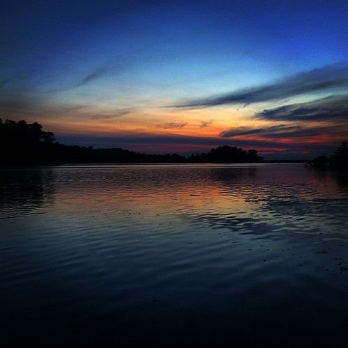
This Ohio sky

Lake Milton

Lake Milton

West Branch State Park, 20041023, Ravenna, OH

Eagle Creek Nature Preserve

Eagle Creek Nature Preserve

Lake house
Dawn at West Branch

Sunset over lake following a beautiful day #sunsets #beachlife #vacation #stateparks

Sunset over lake following a beautiful day #sunsets #beachlife #vacation #stateparks
Topographic Map of McMullen Allen Rd, Newton Falls, OH, USA
Find elevation by address:

Places near McMullen Allen Rd, Newton Falls, OH, USA:
Eagle Point Drive
51 W Quarry St
20 S Canal St, Newton Falls, OH, USA
9737 Gilbert Rd
1409 Oh-534
Newton Township
OH-, Newton Falls, OH, USA
Rattlesnake Hill Sporting Goods
Newton Falls Braceville Rd, Newton Falls, OH, USA
Braceville Township
1895 Kale Adams Rd Sw
9494 Pierce Rd
1602 Barclay Messerly Rd
6054 Wilda Ave
2929 Phalanx Mills Herner Rd
Southington Township
J V Johnson Community Center
Warren Township
Southington
Garrettsville
Recent Searches:
- Elevation of Corso Fratelli Cairoli, 35, Macerata MC, Italy
- Elevation of Tallevast Rd, Sarasota, FL, USA
- Elevation of 4th St E, Sonoma, CA, USA
- Elevation of Black Hollow Rd, Pennsdale, PA, USA
- Elevation of Oakland Ave, Williamsport, PA, USA
- Elevation of Pedrógão Grande, Portugal
- Elevation of Klee Dr, Martinsburg, WV, USA
- Elevation of Via Roma, Pieranica CR, Italy
- Elevation of Tavkvetili Mountain, Georgia
- Elevation of Hartfords Bluff Cir, Mt Pleasant, SC, USA