Elevation of McKendry Dr, Menlo Park, CA, USA

Location: United States > California > San Mateo County > Menlo Park >

Longitude: -122.16163

Latitude: 37.4579183

Elevation: 14m / 46feet

Barometric Pressure: 101KPa

Elevation Map:

elevation map of McKendry Dr, Menlo Park, CA, USA

Satellite Map:

Satellite map of McKendry Dr, Menlo Park, CA, USA

Related Photos:

groundsquirrel mountainviewshoreline
California Ground Squirrel
forsterstern shorelineatmountainview paloalto california unitedstates us
Proficient dive bomber - Forster's Tern
barnswallow shorelineatmountainview paloalto california unitedstates us
Barn Swallow (immature)
birds california earedgrebe grebes northerncalifornia podicepsnigricollis santaclaracounty shorelinelake southbay
Eared Grebe
birds bucephalaclangula commongoldeneye divingducks ducks seaducks shorelinelake mountainview california nature
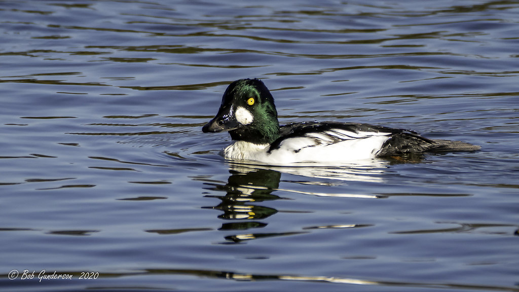
Common Goldeneye (m)
newark california unitedstatesofamerica birds nature northerncalifornia bayarea egret lakeshorepark
Mum’s Watchful Eye
birds canvasback divingducks ducks pochardsaythya nature shorelinelake mountainview california santaclaracounty
Canvasback (m)
birds california earedgrebe grebes northerncalifornia podicepsnigricollis santaclaracounty shorelinelake southbay
Eared Grebe
Anna's Hummingbird (Calypte Anna), visiting the blooms of a Mexican Sage
barrowsgoldeneye birds bucephalaislandica divingducks ducks seaducks nature shorelinelake mountainview california southbay santaclaracounty
Barrow's Goldeneye
shorelinelake mountainview california ca usa kayak canoe lake water landscape sanfranciscobayarea bayarea peninsula park
Rental canoes and kayaks
fremont california donedwardssanfranciscobaynationalwildliferefuge donedwardsnationalwildliferefuge donedwards wildliferefuge sanfranciscobay sanfranciscobayarea bay water saltpond bridge sanmateobridge airplane landing land shortfinal outdoor day dusk red redsky bluehour sony sonya6000 a6000 tamron tamronsp150600mmf563 1xp raw photomatix hdr qualityhdr qualityhdrphotography sunset fav100 usa
Runway two eight left cleared to land
yellowrumpedwarbler warbler setophagacoronata 1stwinter coyotehills coyotehillspark 1stwinterbird bird passerinebird passerine passeriformes fremont california ca canon7dii sp167 donedwardsnationalwildliferefuge myrtlewarbler
Yellow-rumped Warbler (Setophaga coronata) (sp. # 167)
birds egrets mtview ca us flight wingspread
Snowy Egret collecting nest material-
birds egrets shorebirdrookery somya7m3 sony100400mm mtview ca us thegalaxy thechallengegame
Young Egret Feeding-35516
mountainview california sanfrancisco sanfranciscobay sanfranciscobayarea southbay siliconvalley pacificcoast westcoast usa shoreline shorelinelake shorelinelakepark park water wave boat boatrental kayak ripples day outdoor color colorful panorama sony sonya7 a7 a7ii a7mii alpha7mii ilce7m2 fullframe vintagelens dreamlens canon50mmf095 canon 1xp raw photomatix hdr qualityhdr qualityhdrphotography fav200
Colorful twist in life
california birds northerncalifornia woodpeckers southbay santaclaracounty northernflicker colaptesauratus shorelinelake canoneos7dmarkii
Red-shafted Northern Flicker (m)
california mountainview wood sunset cloud horse abstract sky grass mountain unitedstates us
Sunset Wood Horse
birds clouds sunrise reflections dawn bay san francisco peaceful estuary 100views palo alto baylands 7505 7506 vertorama
My Sunrise Place
birds bucephalaclangula california commongoldeneye divingducks ducks northerncalifornia santaclaracounty seaducks shorelinelake southbay
Common Goldeneye (f)
california bayarea nikon d810 color august 2016 summer boury pbo31 northerncalifornia fostercity sanmateocounty bridge sunset light pole lightstream traffic skyline urban pink sky motion over view infinity
forever circling