Elevation of Mcclave Rd, Colebrook, CT, USA
Location: United States > Connecticut > Litchfield County > Colebrook >
Longitude: -73.096373
Latitude: 42.0379023
Elevation: 391m / 1283feet
Barometric Pressure: 97KPa
Elevation Map:
Satellite Map:
Related Photos:

Windmills in the distance

FF91: 99 Bottles/99 Problems

View from the Tower
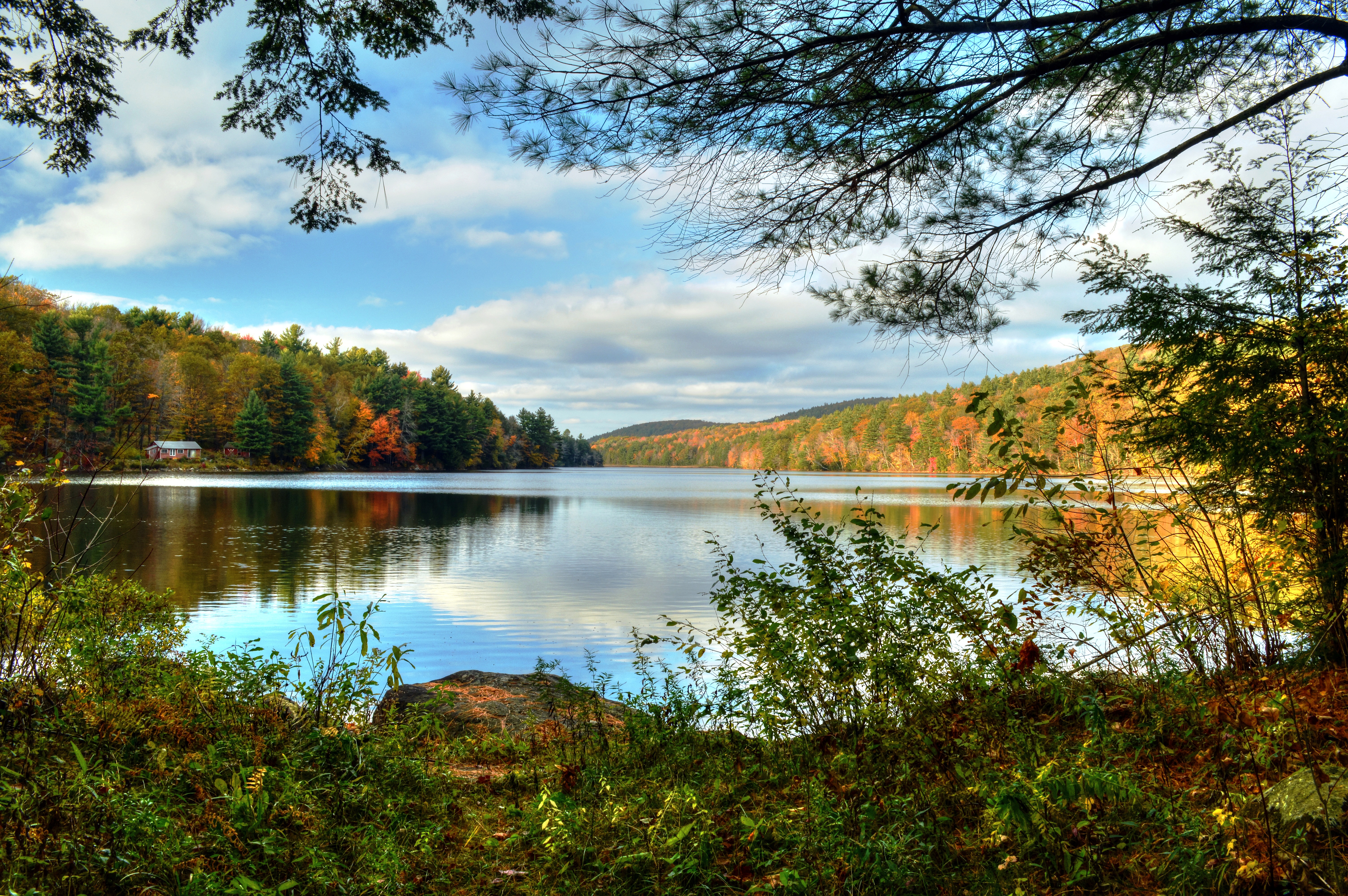
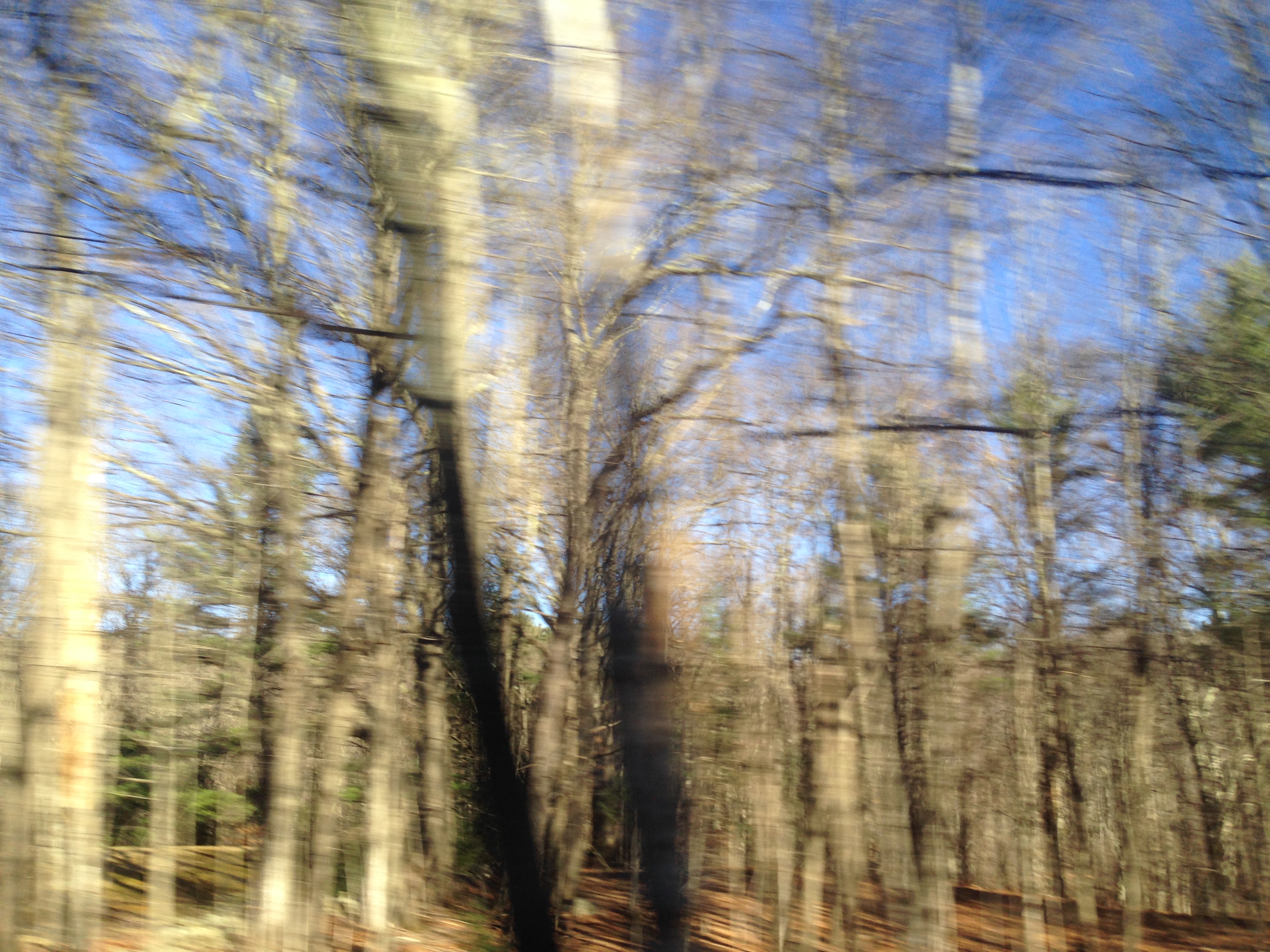
Camp Window in Autumn

Barney enjoyed the view as much as I did.
View from the Lake House

So long my luckless romance
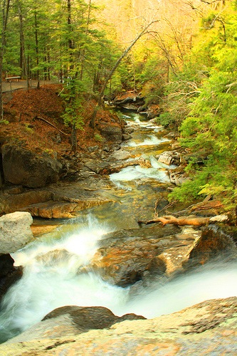
Campbell Falls, New Marlborough
Campbell Falls-Norfolk 01-25-2015_0001

Clouds Over Platt Hill
Campbell Falls-Norfolk 01-25-2015_0001a
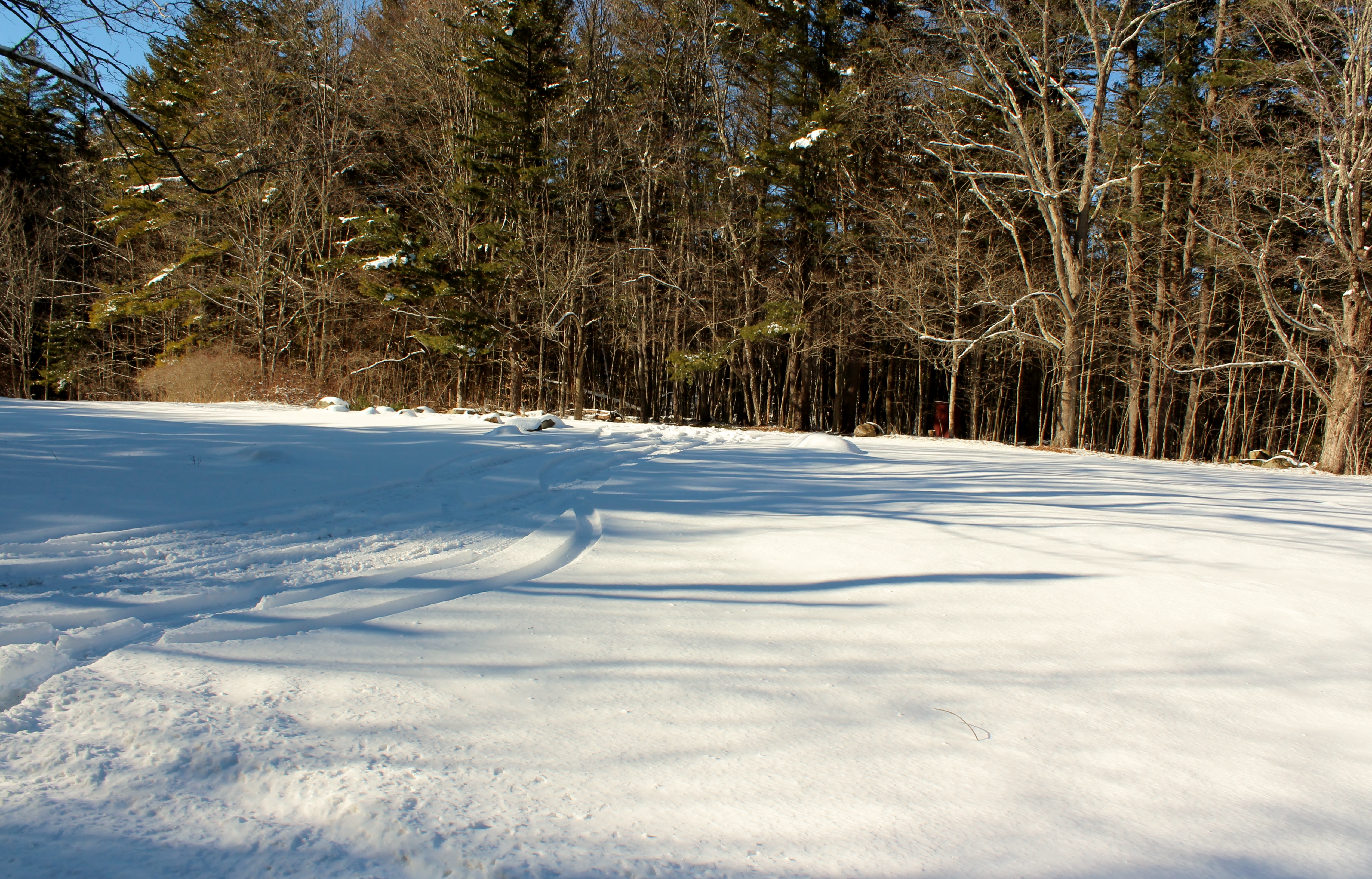
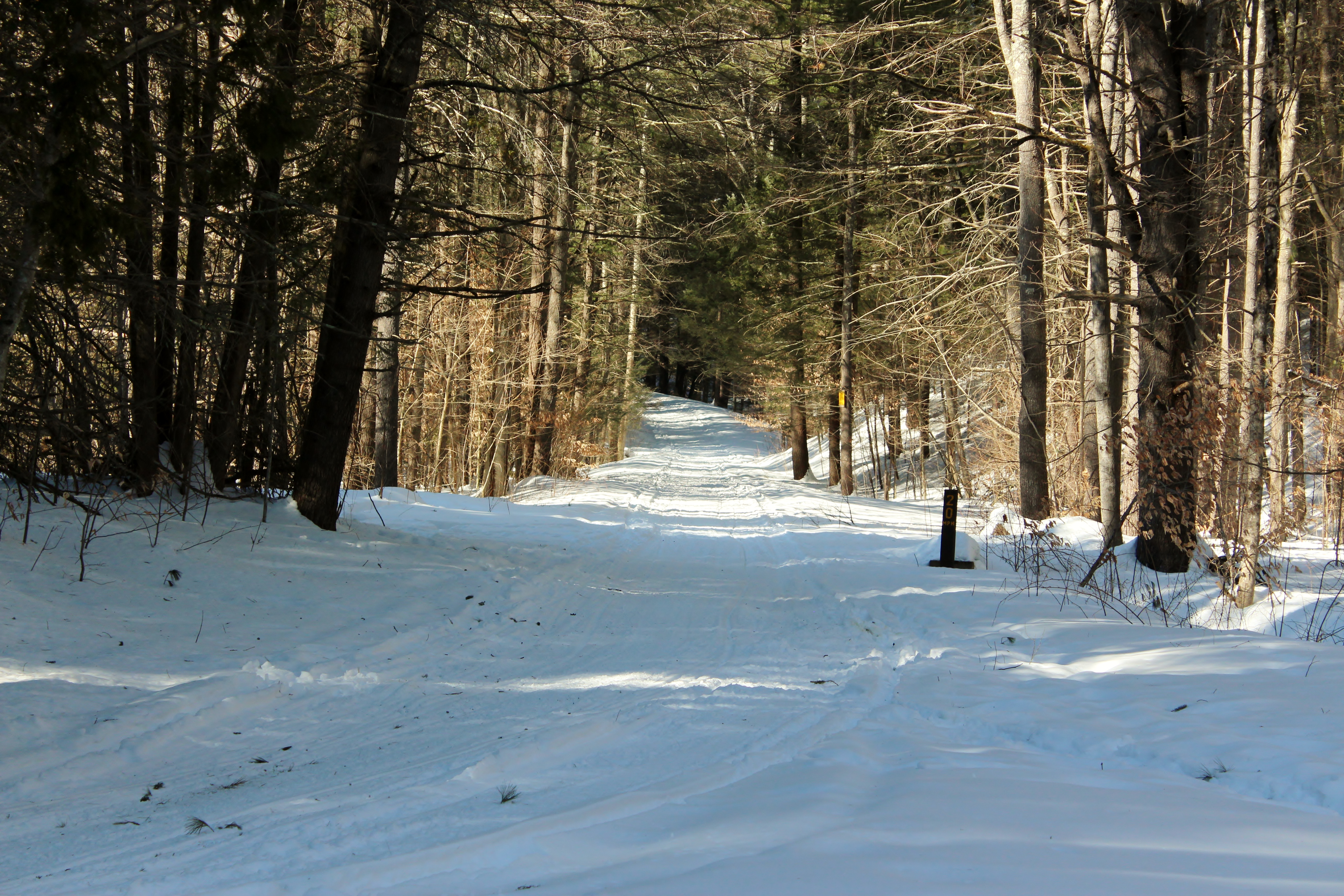
Lining the Road

View from the Gazebo
View from Haystack Mountain towards Bear Mountain
At the top of Dennis Hill in Norfolk, CT, looking towards New Hampshire
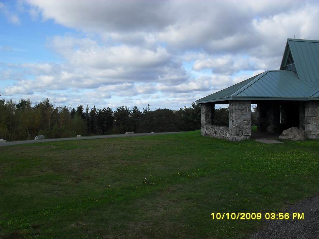
Dennis Hill - October 10 2009 - 3

View from the Tower
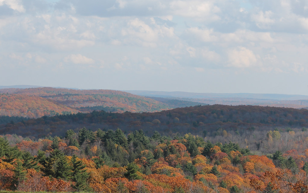
Autumn Scenery
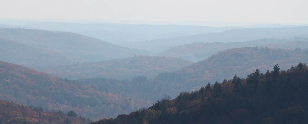
Distant Ridgelines
Southern View of Lake Triangle Colebrook CT
Campbell Falls-Norfolk 01-25-2015_0006
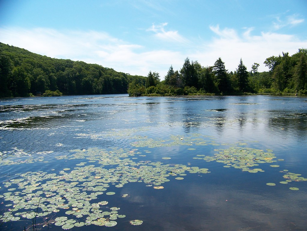
Lower Spectacle Pond

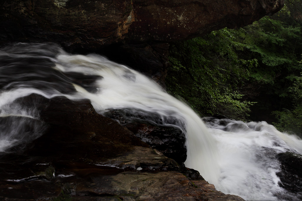
Campbell Falls

Campbell Falls - Half Mass, Half Conn

Leading the way.
Upper Campbell Falls
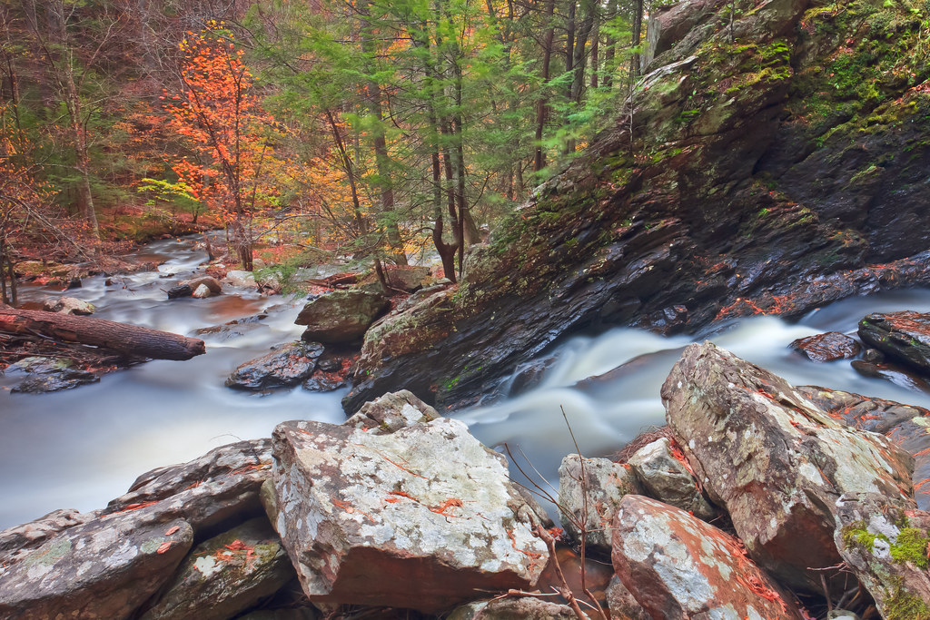
Down to the river
In transit 3
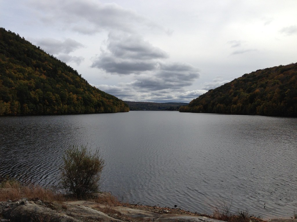
photo.JPG
Peoples State Forest-Barkhamsted Ct 02-28-2015_0003
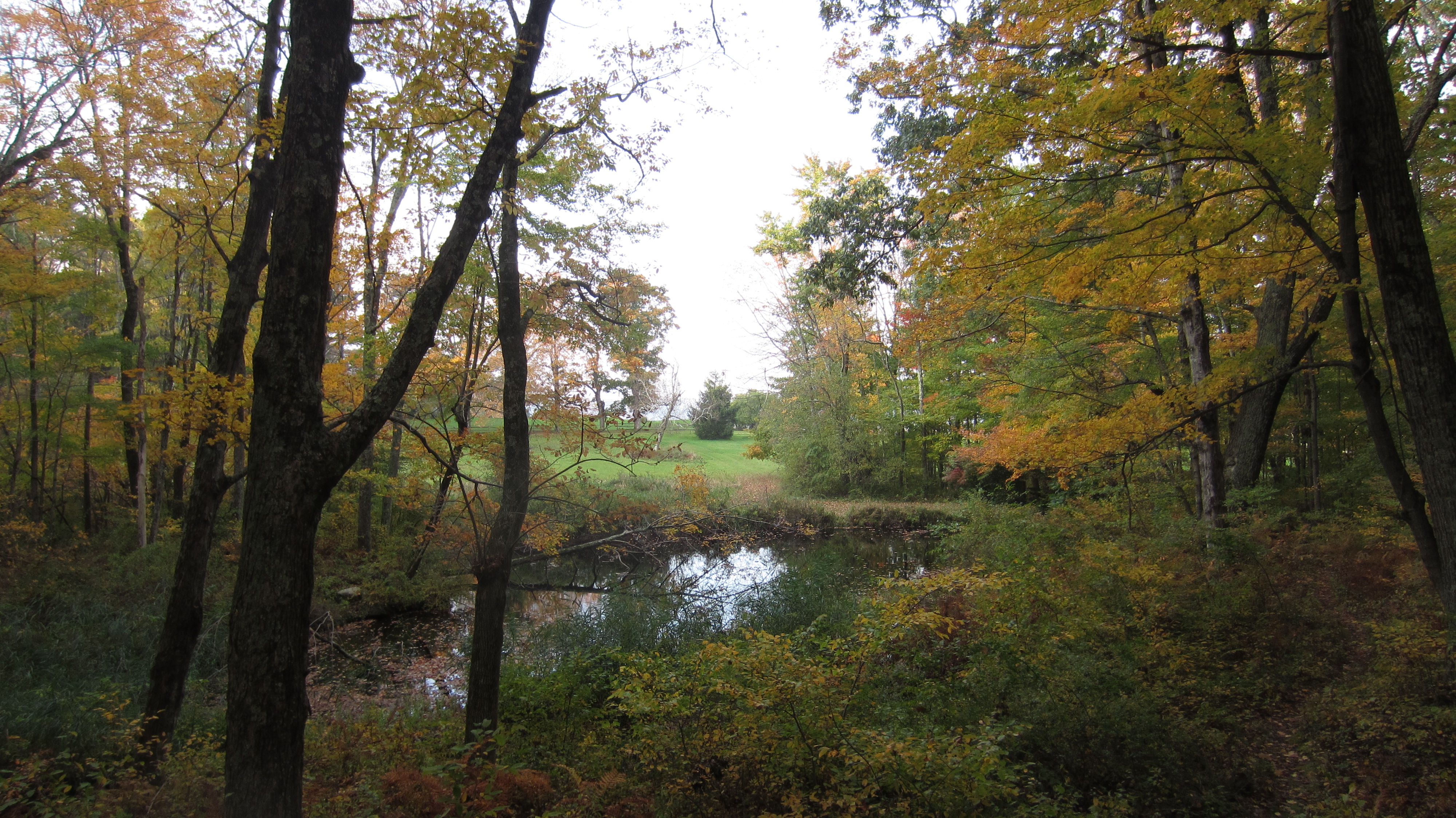
Camp Merola Pond
Upper Campbell Falls

Norfolk, CT
Sunset Trees II

DSC09400.JPG
Green Days #2
Hike to Campbell Falls - May 30 3009 - 8
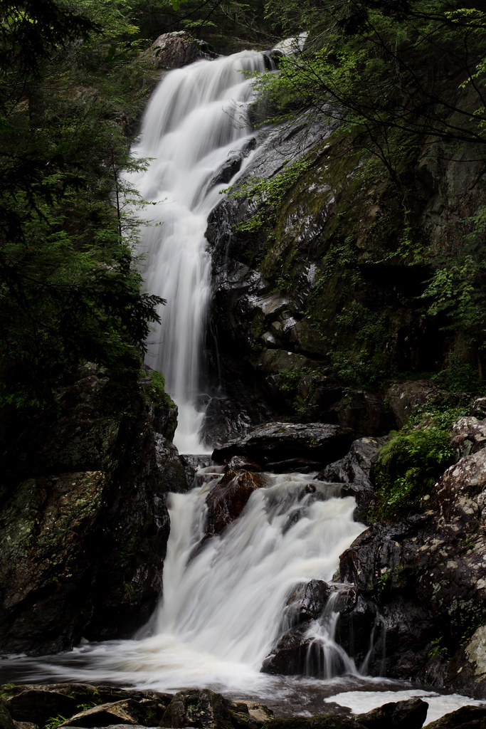
Campbell Falls

Pond Reflection
Looking down the falls from the edge at the top. (HDR)
Apple Orchard - Storm Impression
Topographic Map of Mcclave Rd, Colebrook, CT, USA
Find elevation by address:

Places near Mcclave Rd, Colebrook, CT, USA:
56 Fritz Rd
54 Fritz Rd
32 Simons Pond Rd
122 Beech Hill Rd
Beech Hill Road
Beech Hill
Mirror Lake Dam
Colebrook River Lake
1282 Burt Hill Rd
2000 New Boston Rd
Tolland
S Main Rd, Sandisfield, MA, USA
20 Moreau Rd, Blandford, MA, USA
East Otis
155 Kibbe Rd
Lower Spectacle Pond
970 Main Rd
111 S Lake Ave
1000 Main Rd
Reservoir Road
Recent Searches:
- Elevation of Corso Fratelli Cairoli, 35, Macerata MC, Italy
- Elevation of Tallevast Rd, Sarasota, FL, USA
- Elevation of 4th St E, Sonoma, CA, USA
- Elevation of Black Hollow Rd, Pennsdale, PA, USA
- Elevation of Oakland Ave, Williamsport, PA, USA
- Elevation of Pedrógão Grande, Portugal
- Elevation of Klee Dr, Martinsburg, WV, USA
- Elevation of Via Roma, Pieranica CR, Italy
- Elevation of Tavkvetili Mountain, Georgia
- Elevation of Hartfords Bluff Cir, Mt Pleasant, SC, USA