Elevation of 20 Moreau Rd, Blandford, MA, USA
Location: United States > Massachusetts > Hampden County > Blandford >
Longitude: -73.034405
Latitude: 42.1438053
Elevation: 435m / 1427feet
Barometric Pressure: 96KPa
Elevation Map:
Satellite Map:
Related Photos:
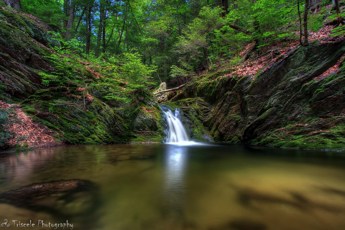
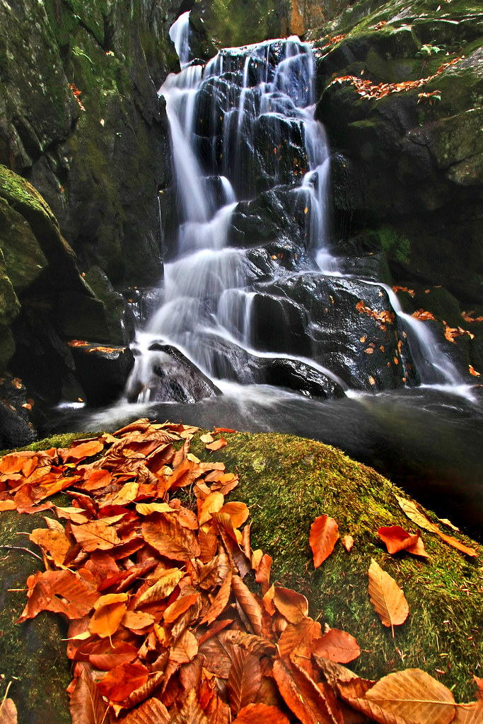
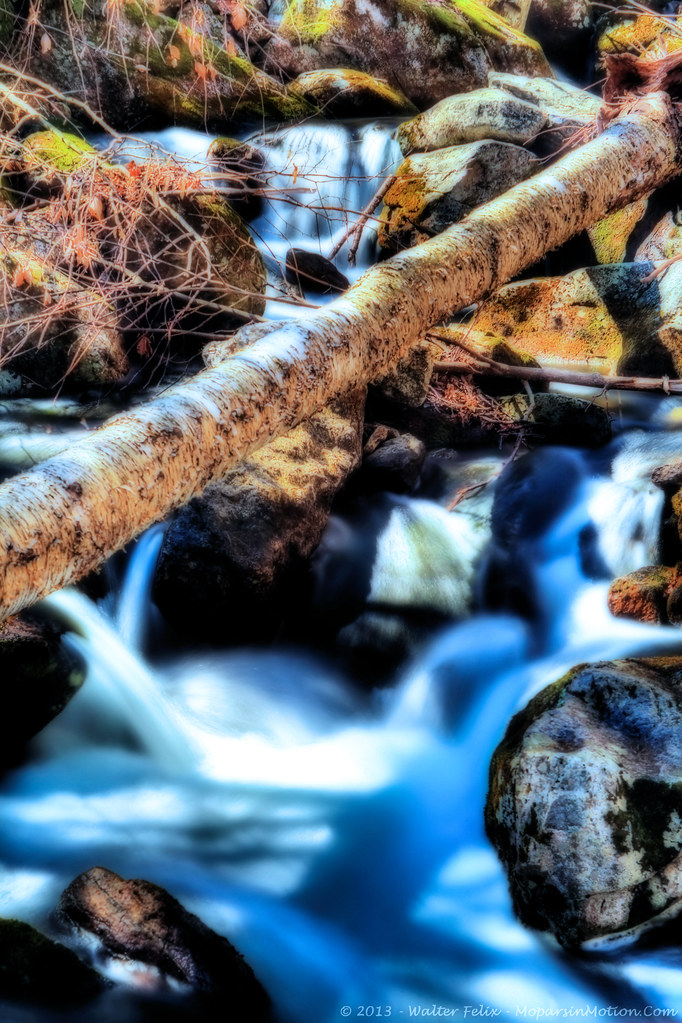
Little Pitcher Falls
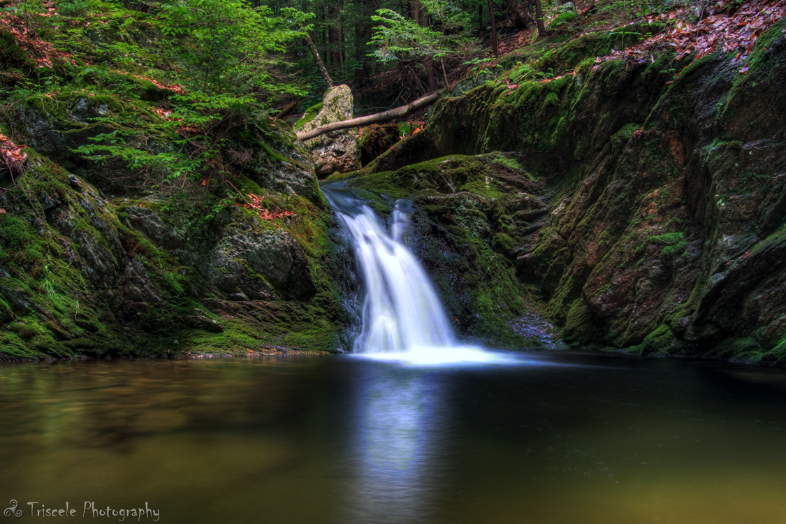
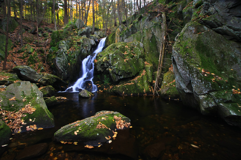
Little Pitcher Falls Part 2
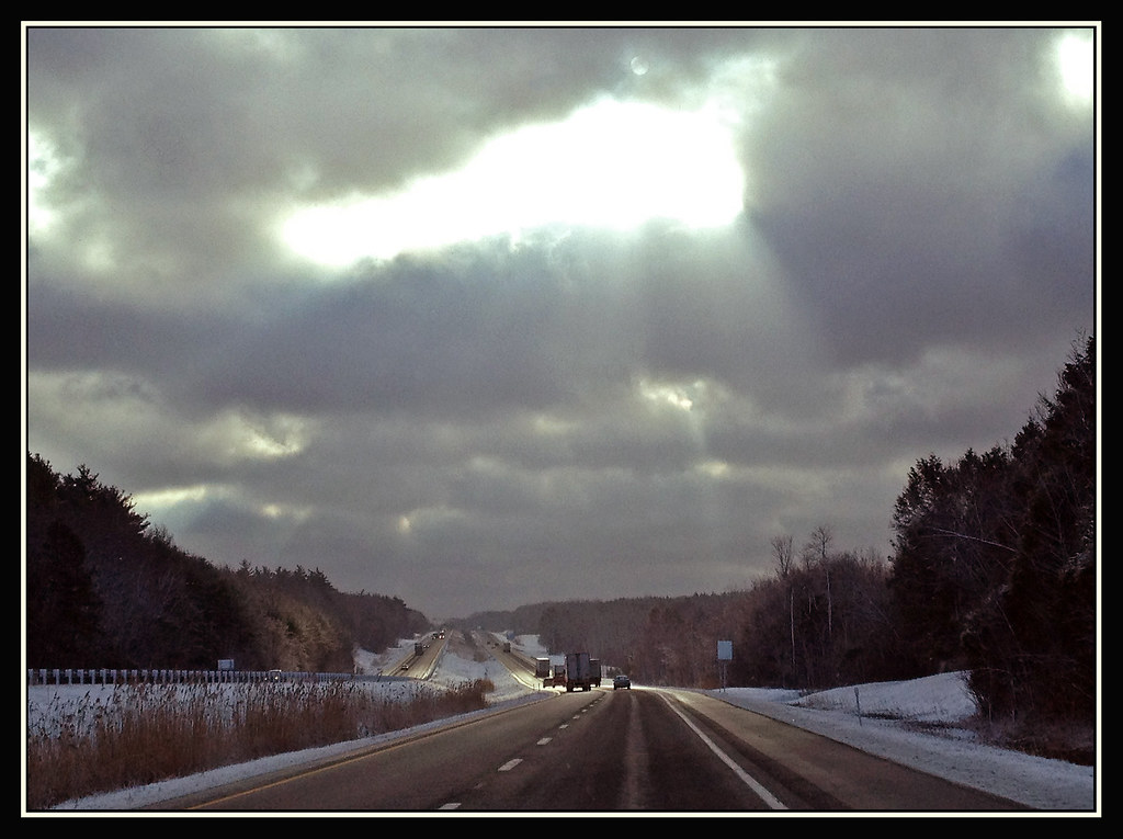
Struck By Heaven's Light
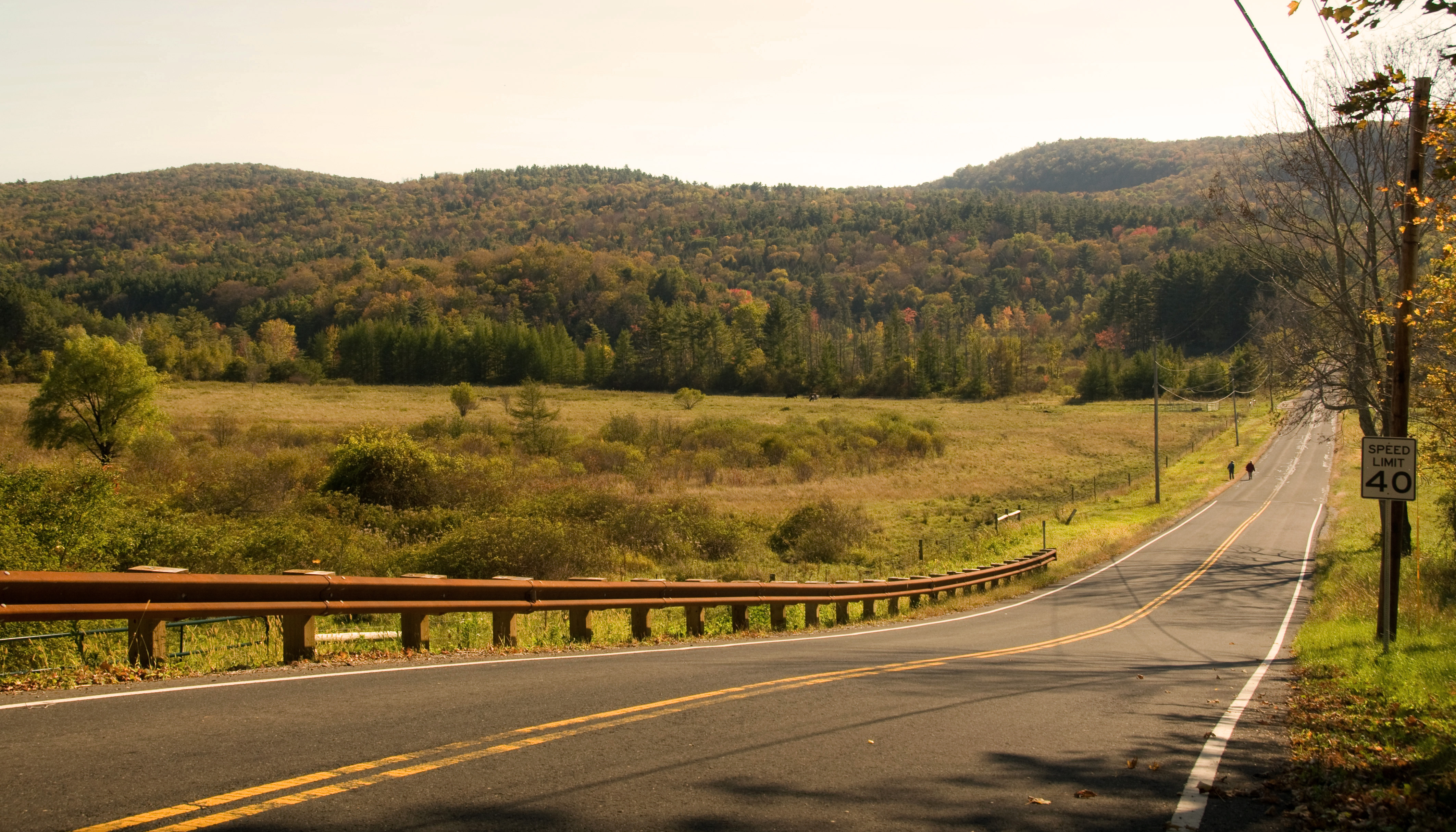
country road
Leaf Me Alone
Woodland Pool
Climb toward the Sun
The Point of No Return

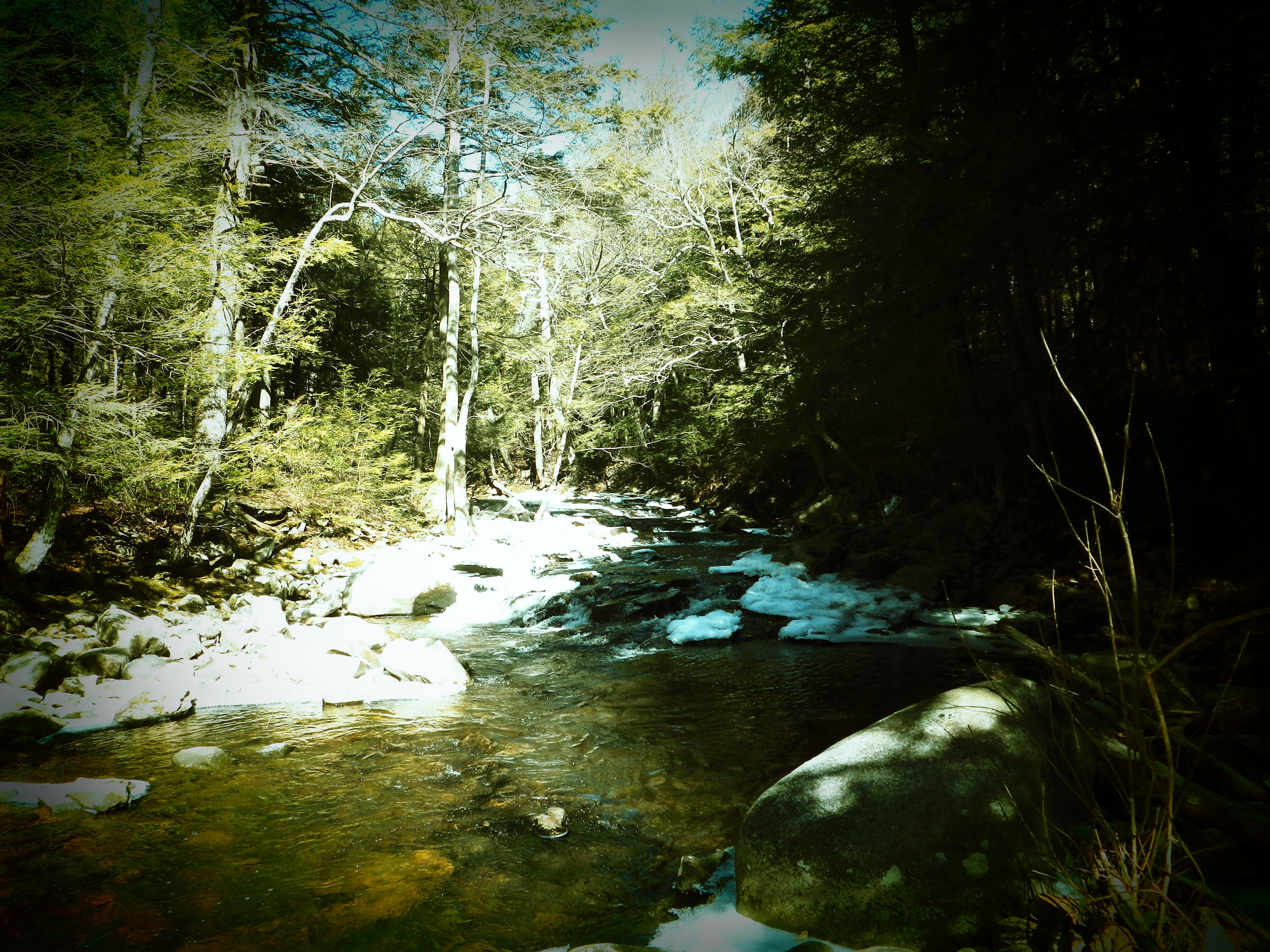
Spring Runoff

York Lake, near Southfield, MA - long exposure
Aerial View
Find Your Way
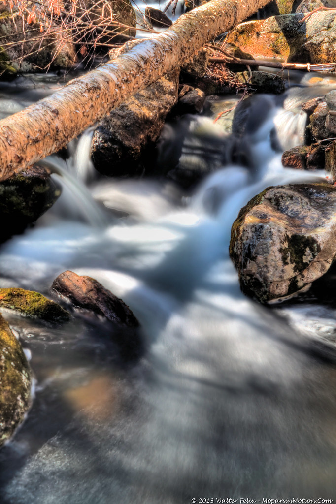
Tumble, Tumble
Let the Sun Shine Through

New Photo Platform
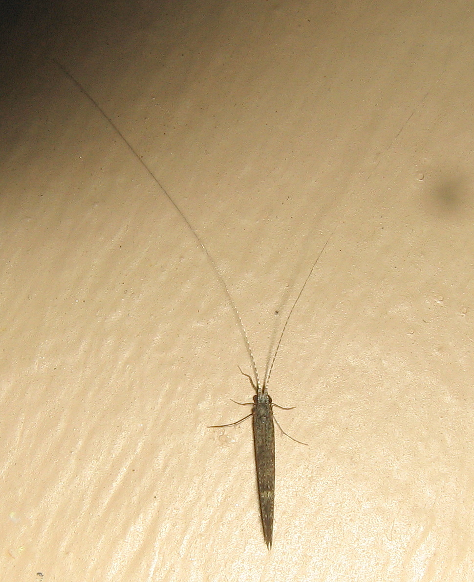
Caddisfly, Leptocerus americanus
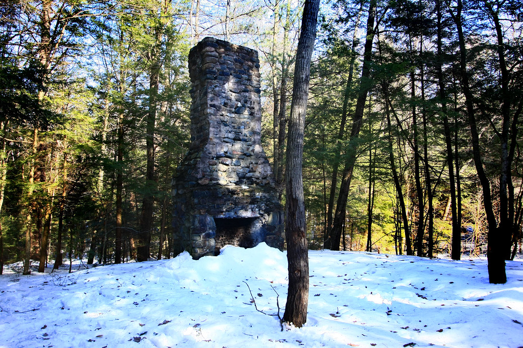
All that Remains

Zig Zag
A Touch of Green
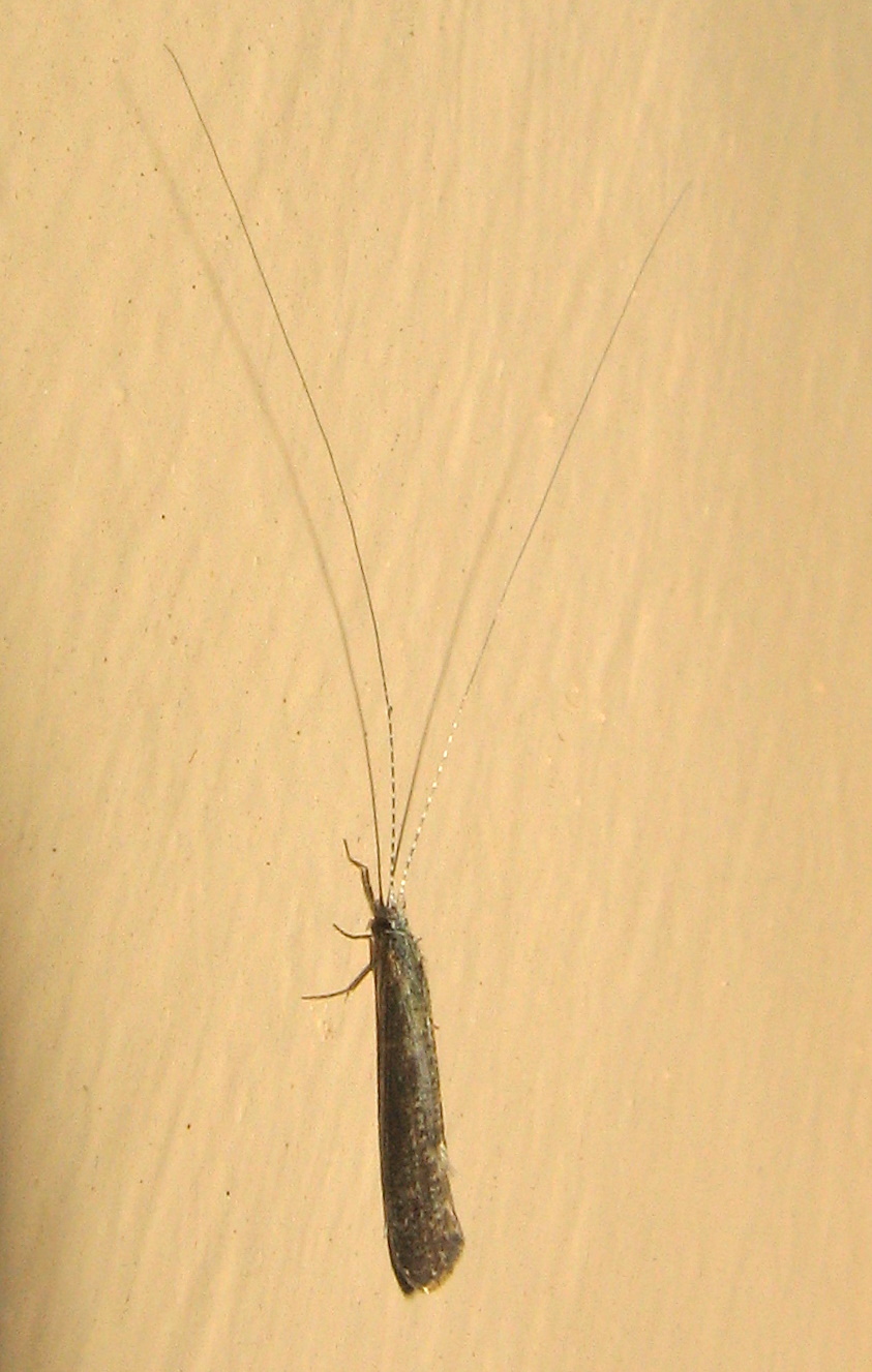
Caddisfly, Leptocerus americanus

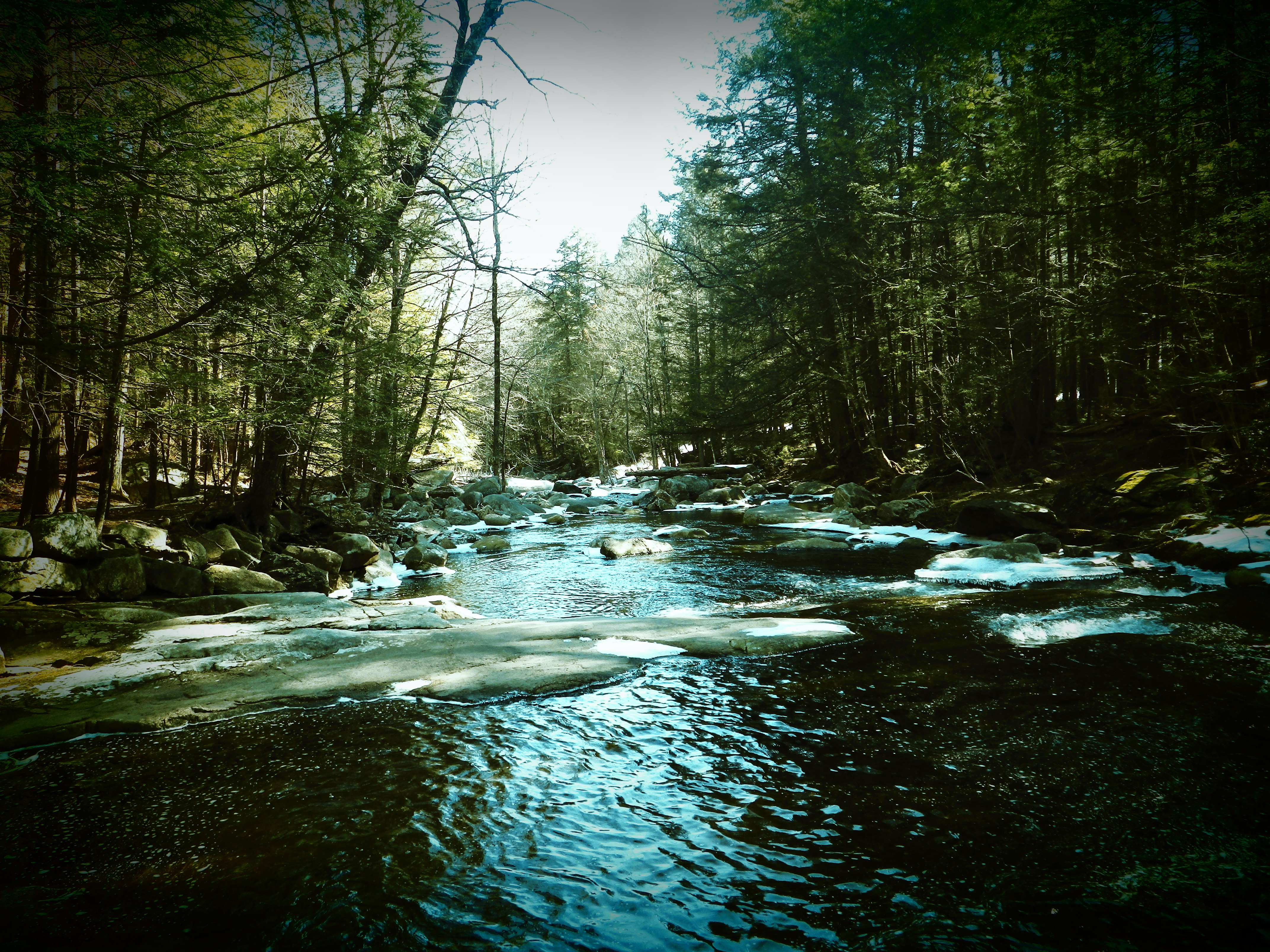
Crystal Waters

Shaw Pond #Massachusetts #ontheroad #skysnappers #skyporn #cloudporn #clouds #waterscapes #htcevo4glte #htc #weatherchannel #thisisnow
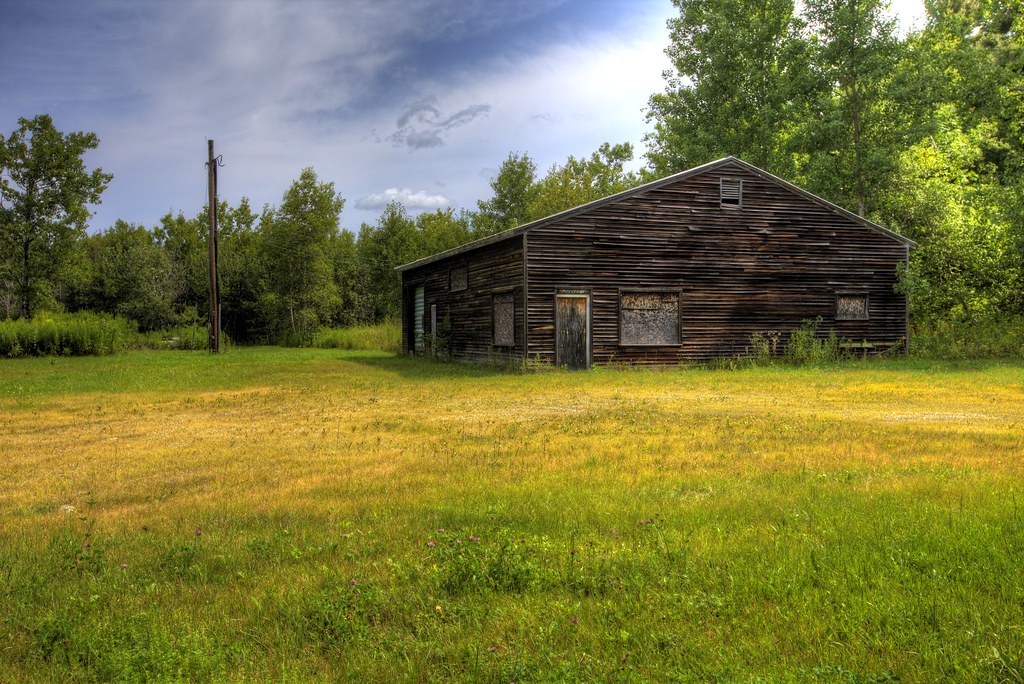
Office No More

Ore Hill Trail
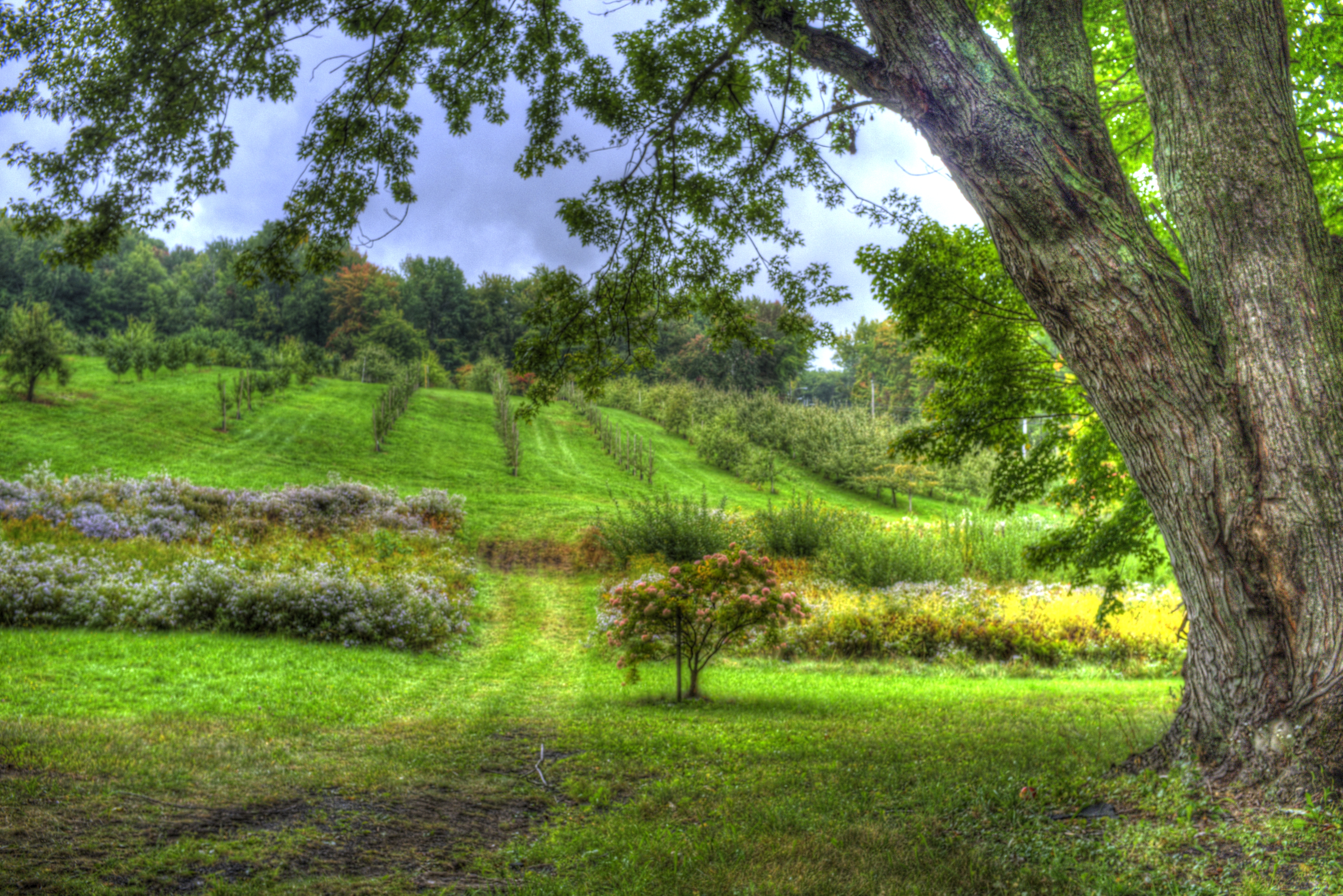
West Parish Orchard
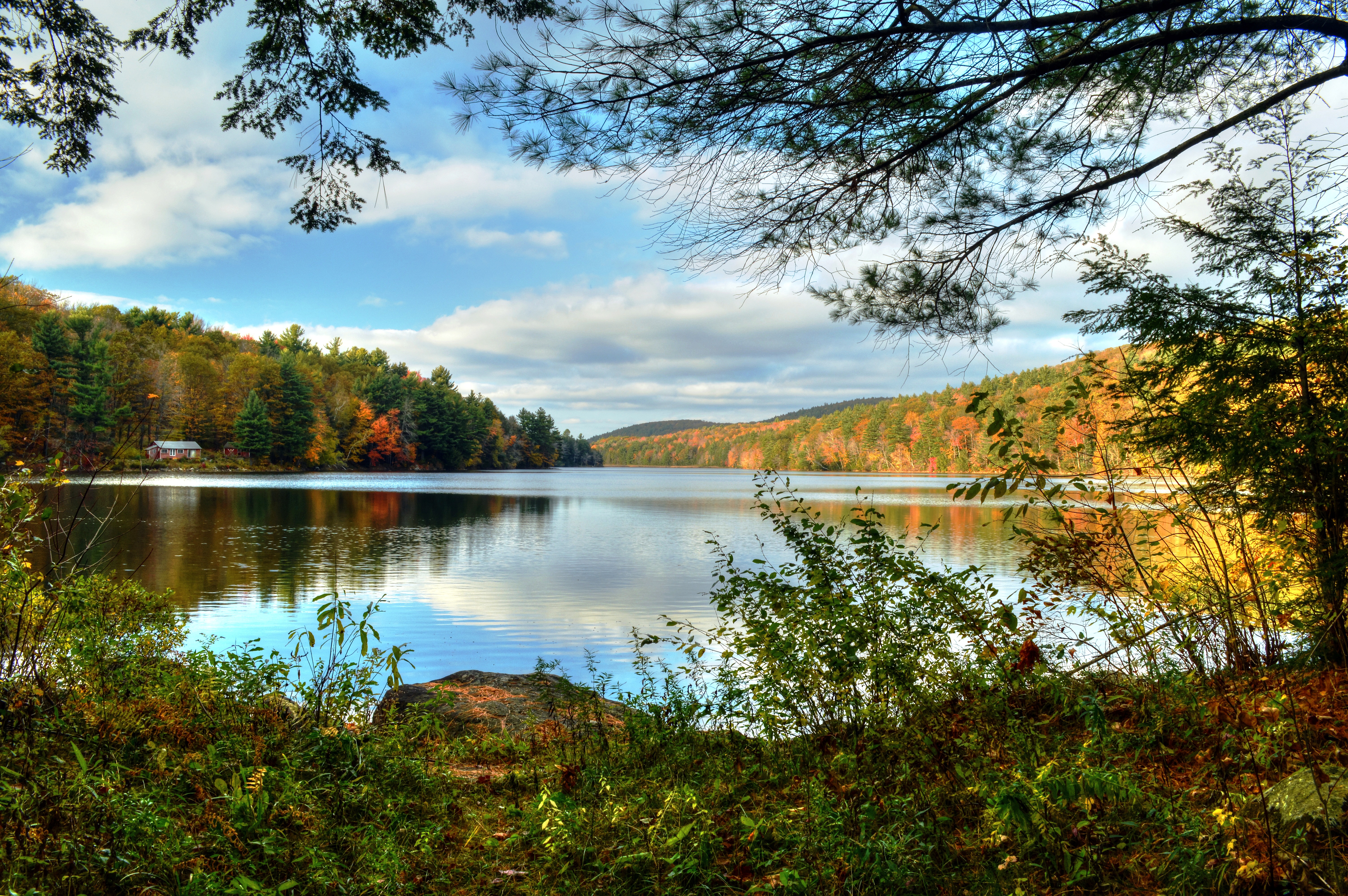
Lower Spectacle Pond
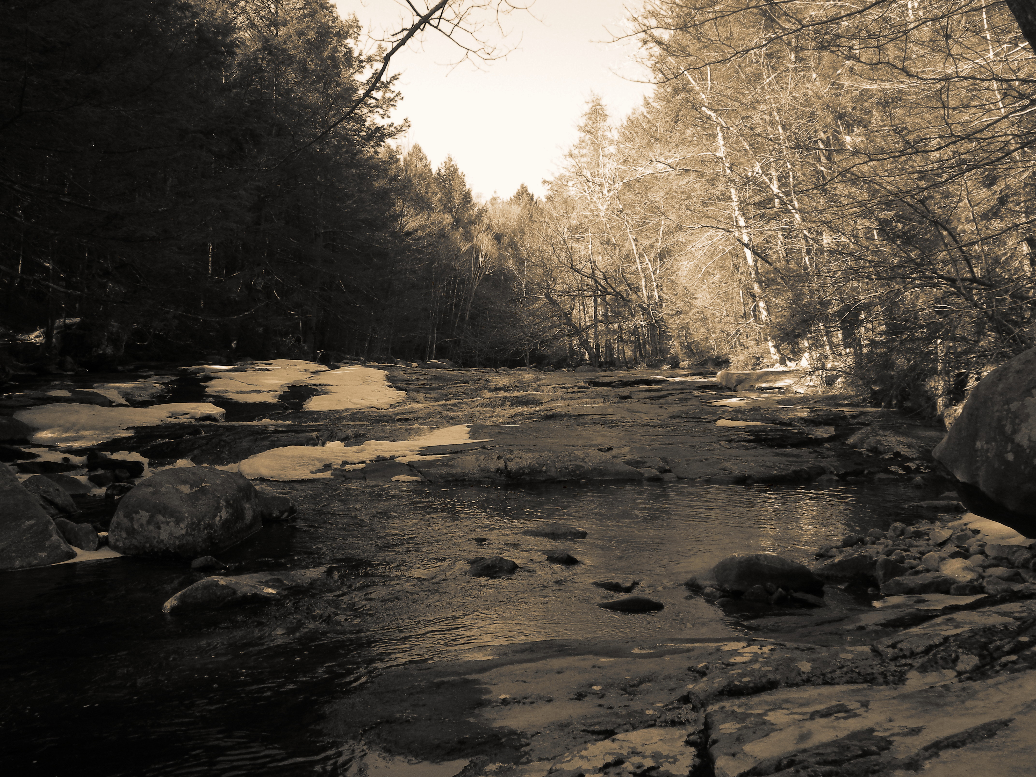
Hubbard River
Hubbard River

DSC_0932 - Version 2
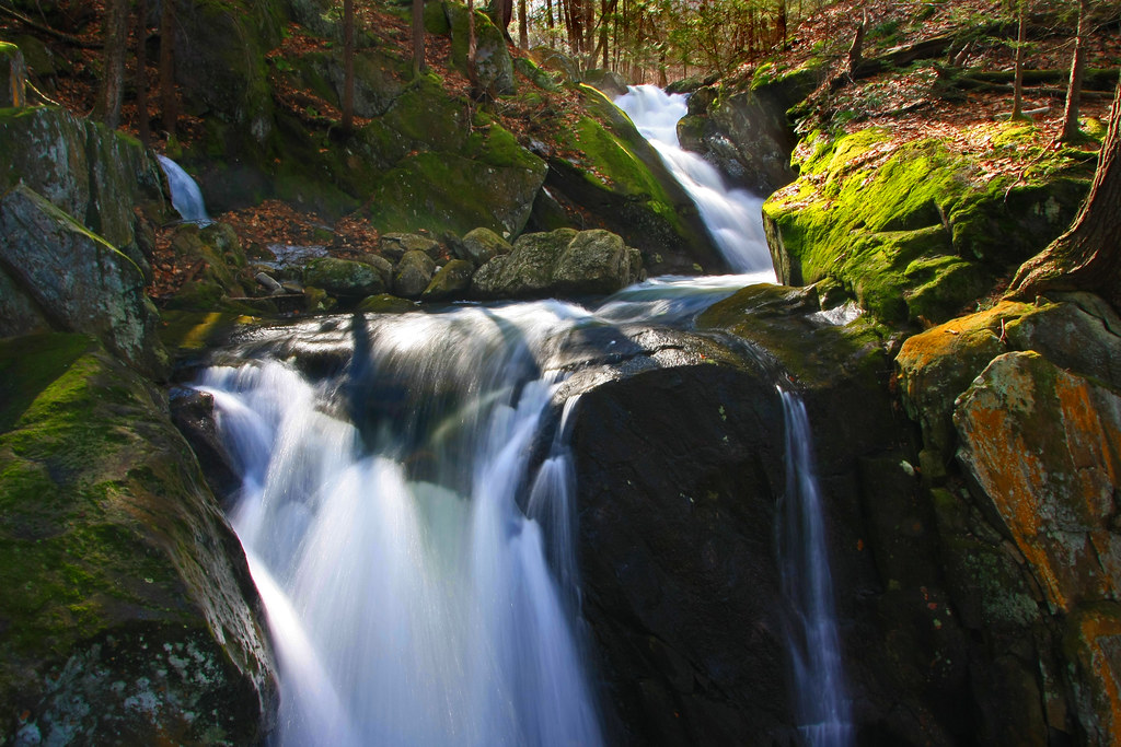
Falls Brook

Goldmine Brook Falls - Chester, MA
Hubbard River
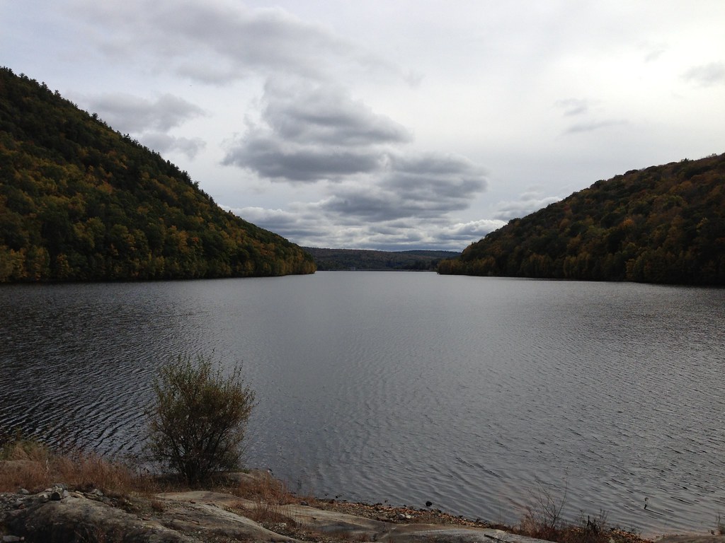
photo.JPG
Falls Brook HDR/Orton

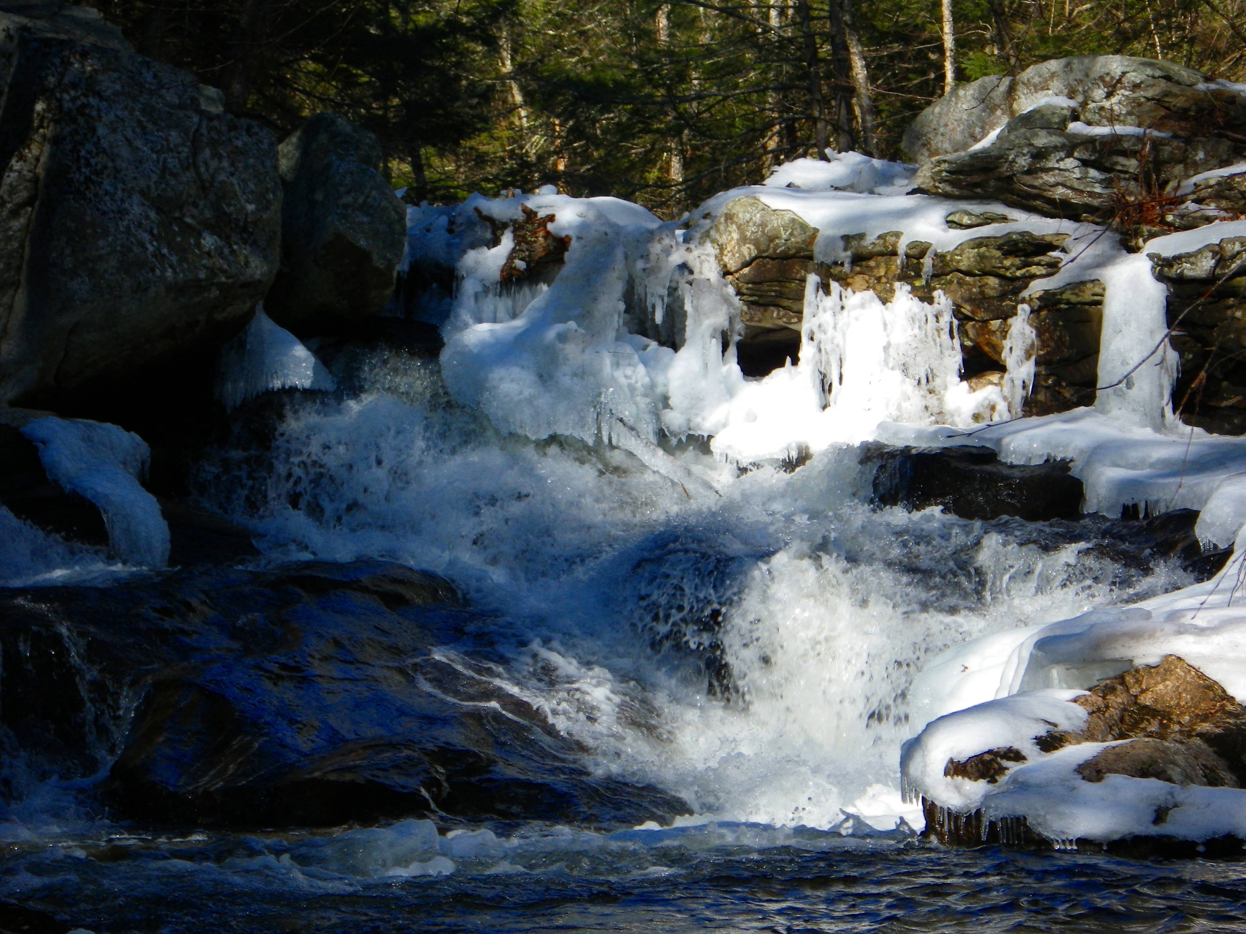
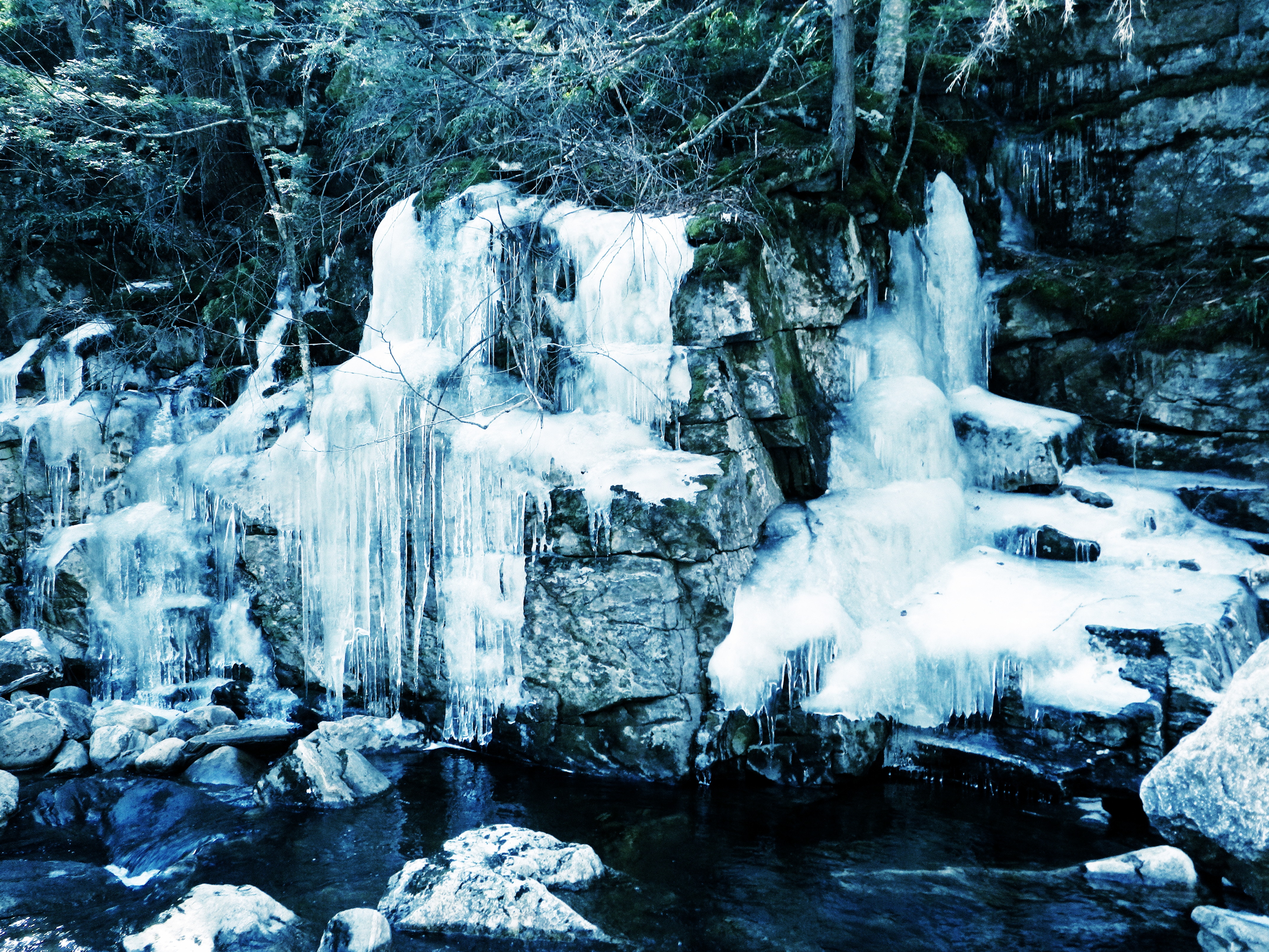
Still Frozen!!!

Hubbard River
Hubbard River
Hubbard River Trail

Goldmine Brook Falls - Chester, MA
Topographic Map of 20 Moreau Rd, Blandford, MA, USA
Find elevation by address:

Places near 20 Moreau Rd, Blandford, MA, USA:
111 S Lake Ave
155 Kibbe Rd
East Otis
Reservoir Road
S Main Rd, Sandisfield, MA, USA
1282 Burt Hill Rd
2000 New Boston Rd
Tolland
319 Lakeshore Dr
4 Beech Hill Rd
170 Otis Stage Rd
Lower Spectacle Pond
Mirror Lake Dam
Spectacle Ponds
970 Main Rd
1000 Main Rd
296 Beech Hill Rd
1653 Main Rd
64 Beech Hill Rd
Blandford Club
Recent Searches:
- Elevation of Corso Fratelli Cairoli, 35, Macerata MC, Italy
- Elevation of Tallevast Rd, Sarasota, FL, USA
- Elevation of 4th St E, Sonoma, CA, USA
- Elevation of Black Hollow Rd, Pennsdale, PA, USA
- Elevation of Oakland Ave, Williamsport, PA, USA
- Elevation of Pedrógão Grande, Portugal
- Elevation of Klee Dr, Martinsburg, WV, USA
- Elevation of Via Roma, Pieranica CR, Italy
- Elevation of Tavkvetili Mountain, Georgia
- Elevation of Hartfords Bluff Cir, Mt Pleasant, SC, USA