Elevation of Mbalabala, Zimbabwe
Location: Zimbabwe >
Longitude: 29.0358096
Latitude: -20.450055
Elevation: 1092m / 3583feet
Barometric Pressure: 89KPa
Elevation Map:
Satellite Map:
Related Photos:
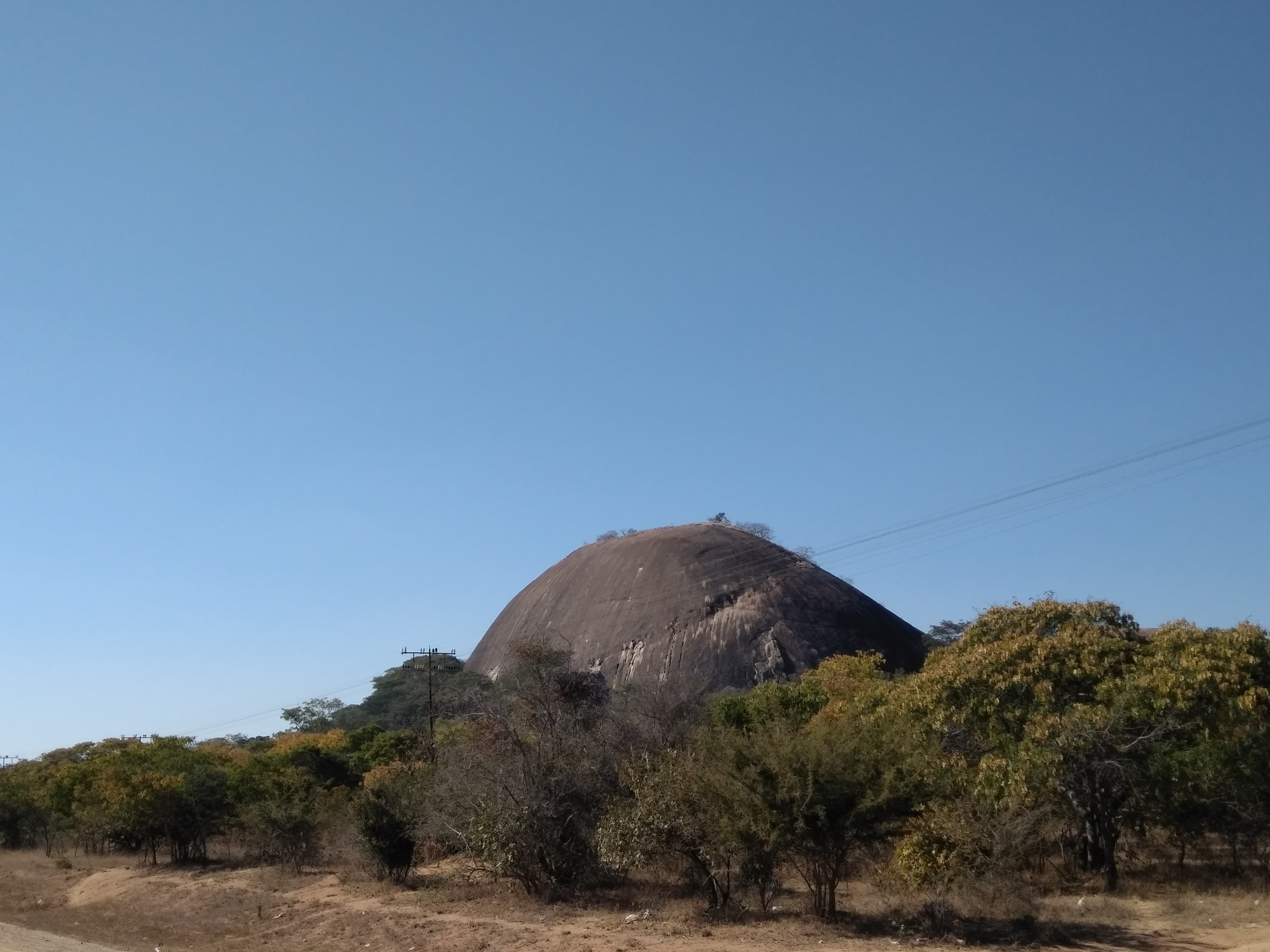
IMG_20170721_100508
Topographic Map of Mbalabala, Zimbabwe
Find elevation by address:

Places near Mbalabala, Zimbabwe:
Bulawayo East
Cement
Gwanda
Woodlands
Ascot Race Course
Bulawayo
Matobo Hills
Belmont
Matobo Hills Lodge
Bulawayo
Matabeleland South Province
Colleen Bawn
Khami Ruins
Matobo
Recent Searches:
- Elevation of Corso Fratelli Cairoli, 35, Macerata MC, Italy
- Elevation of Tallevast Rd, Sarasota, FL, USA
- Elevation of 4th St E, Sonoma, CA, USA
- Elevation of Black Hollow Rd, Pennsdale, PA, USA
- Elevation of Oakland Ave, Williamsport, PA, USA
- Elevation of Pedrógão Grande, Portugal
- Elevation of Klee Dr, Martinsburg, WV, USA
- Elevation of Via Roma, Pieranica CR, Italy
- Elevation of Tavkvetili Mountain, Georgia
- Elevation of Hartfords Bluff Cir, Mt Pleasant, SC, USA