Elevation of Gwanda, Zimbabwe
Location: Zimbabwe >
Longitude: 29.0110762
Latitude: -20.939823
Elevation: 988m / 3241feet
Barometric Pressure: 90KPa
Elevation Map:
Satellite Map:
Related Photos:
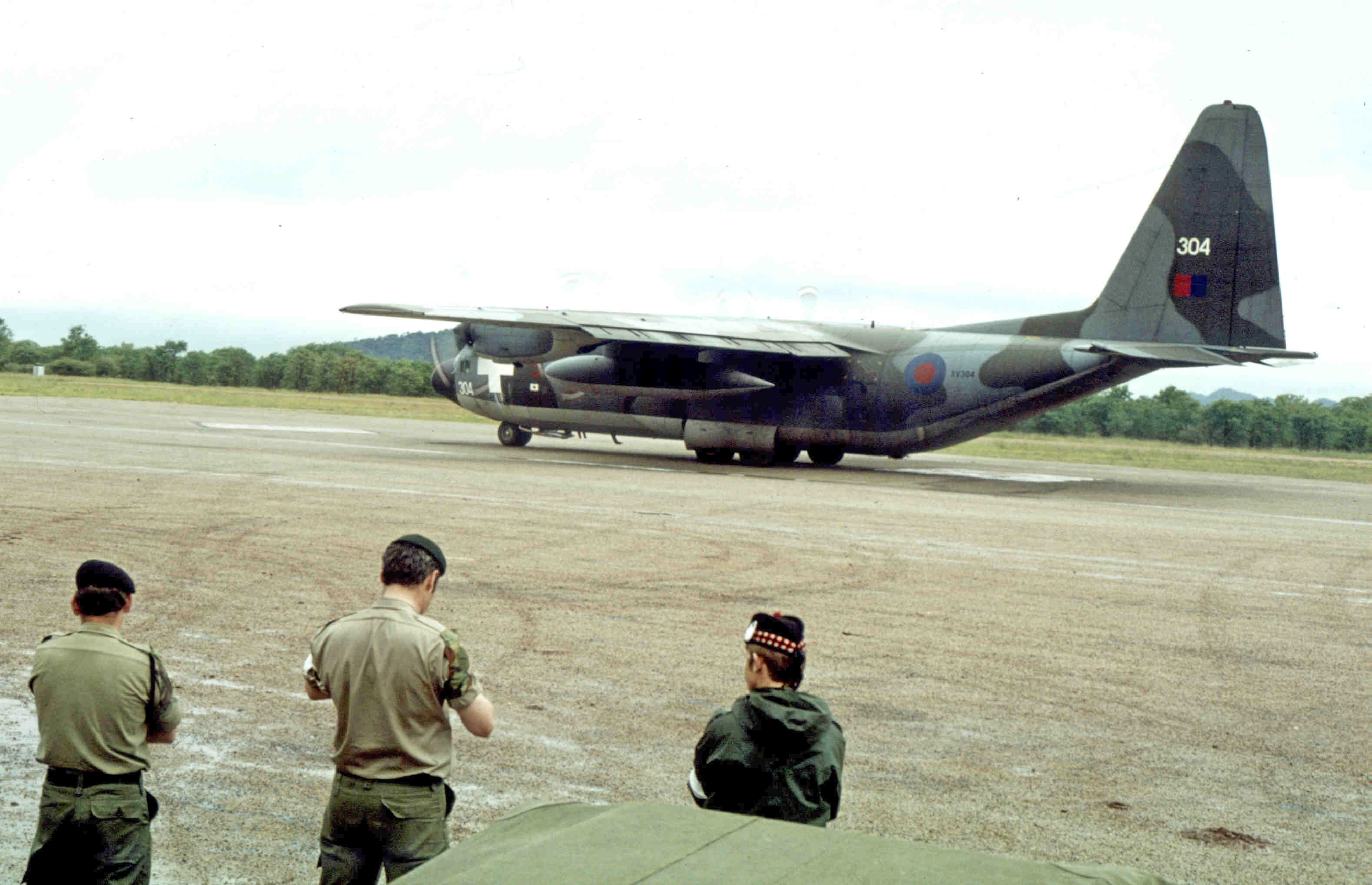
C130, Gwanda Airstrip Zimbabwe-Rhodesia 1980

People of Zimbabwe-07

People of Zimbabwe-08

People of Zimbabwe-09

People of Zimbabwe-10

People of Zimbabwe-11

People of Zimbabwe-12

People of Zimbabwe-14

People of Zimbabwe-17

People of Zimbabwe-18

People of Zimbabwe-19

People of Zimbabwe-21

People of Zimbabwe-22

People of Zimbabwe-23

Stop in Zimbabwe
Morning hillclimb

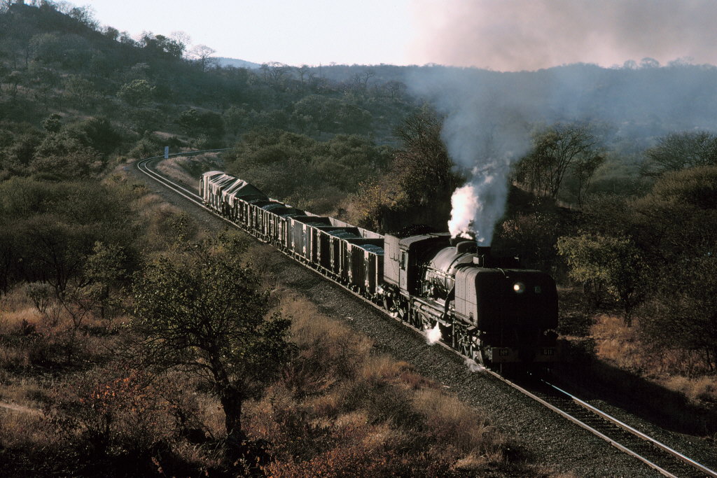
Galloping Garratt
Topographic Map of Gwanda, Zimbabwe
Find elevation by address:

Places near Gwanda, Zimbabwe:
Matabeleland South Province
Colleen Bawn
Mbalabala
Matobo
Matobo Hills
Matobo Hills Lodge
Bulawayo East
Woodlands
Ascot Race Course
Belmont
Cement
Bulawayo
Bulawayo
Khami Ruins
Recent Searches:
- Elevation of Corso Fratelli Cairoli, 35, Macerata MC, Italy
- Elevation of Tallevast Rd, Sarasota, FL, USA
- Elevation of 4th St E, Sonoma, CA, USA
- Elevation of Black Hollow Rd, Pennsdale, PA, USA
- Elevation of Oakland Ave, Williamsport, PA, USA
- Elevation of Pedrógão Grande, Portugal
- Elevation of Klee Dr, Martinsburg, WV, USA
- Elevation of Via Roma, Pieranica CR, Italy
- Elevation of Tavkvetili Mountain, Georgia
- Elevation of Hartfords Bluff Cir, Mt Pleasant, SC, USA