Elevation map of Mayo, Co. Mayo, Ireland
Location: Ireland > Mayo >
Longitude: -9.4289369
Latitude: 54.0152604
Elevation: 80m / 262feet
Barometric Pressure: 100KPa
Elevation Map:
Satellite Map:
Related Photos:
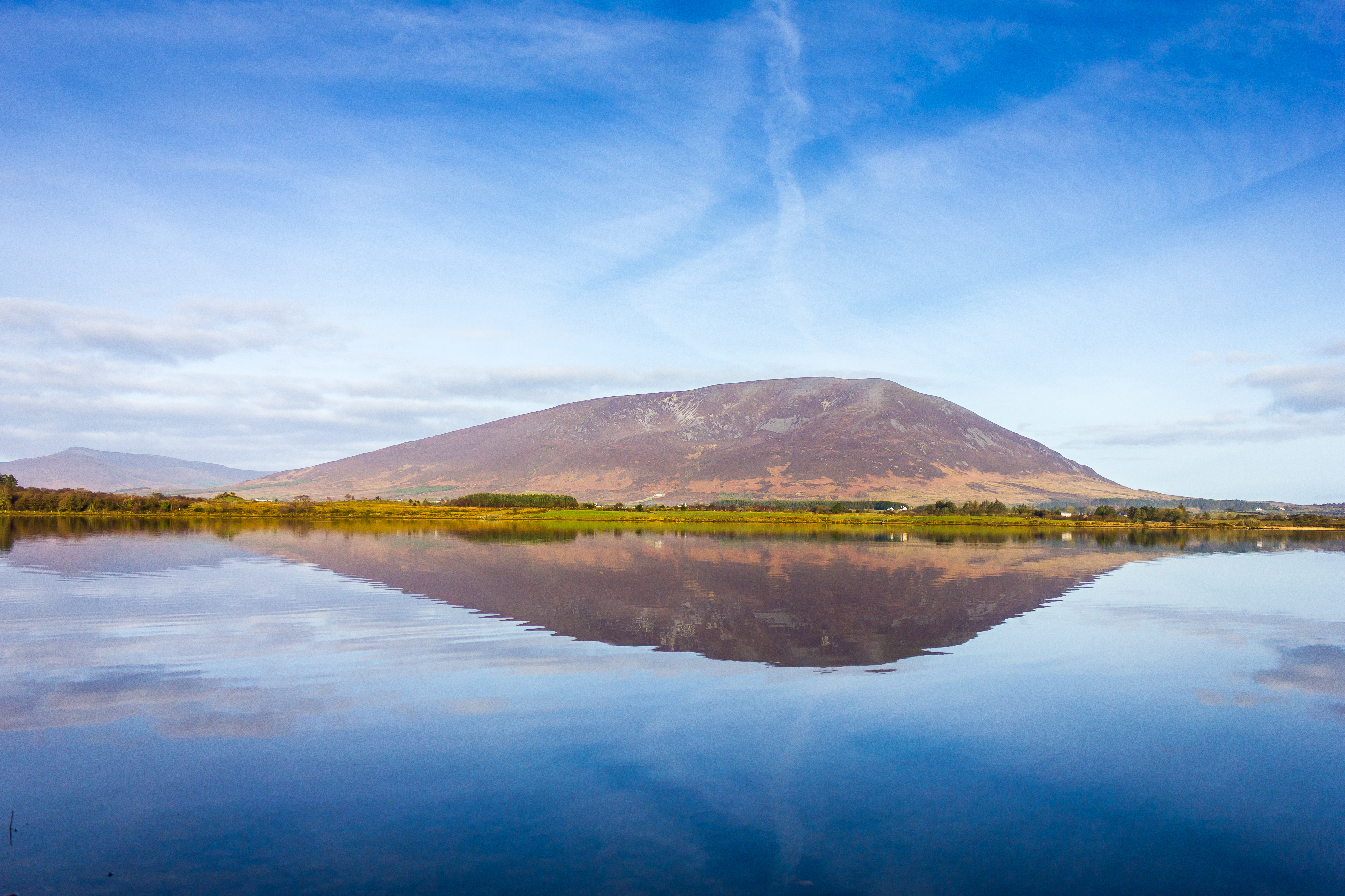
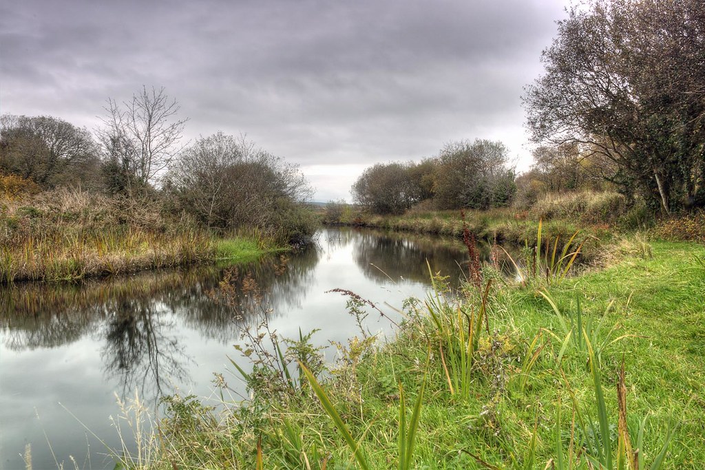
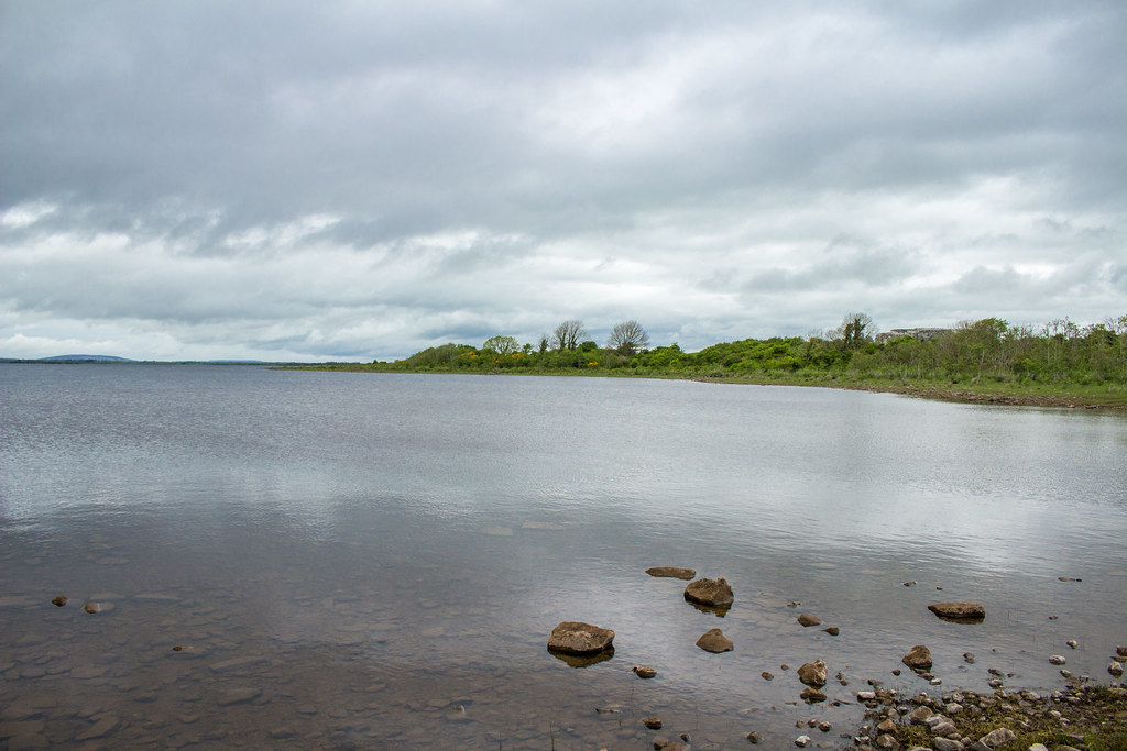
Spring reflection

Alone, together, on a deserted beach
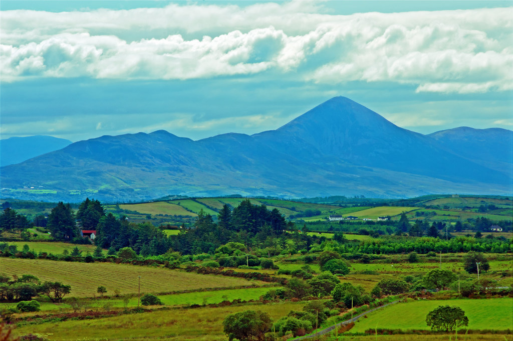
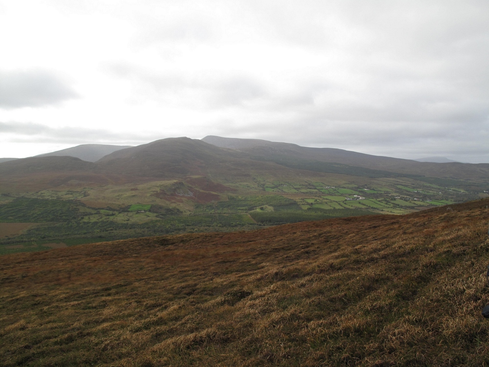
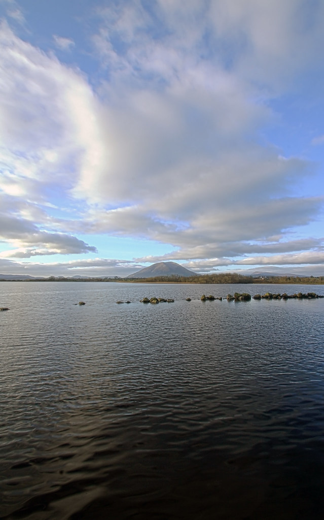
Reek View
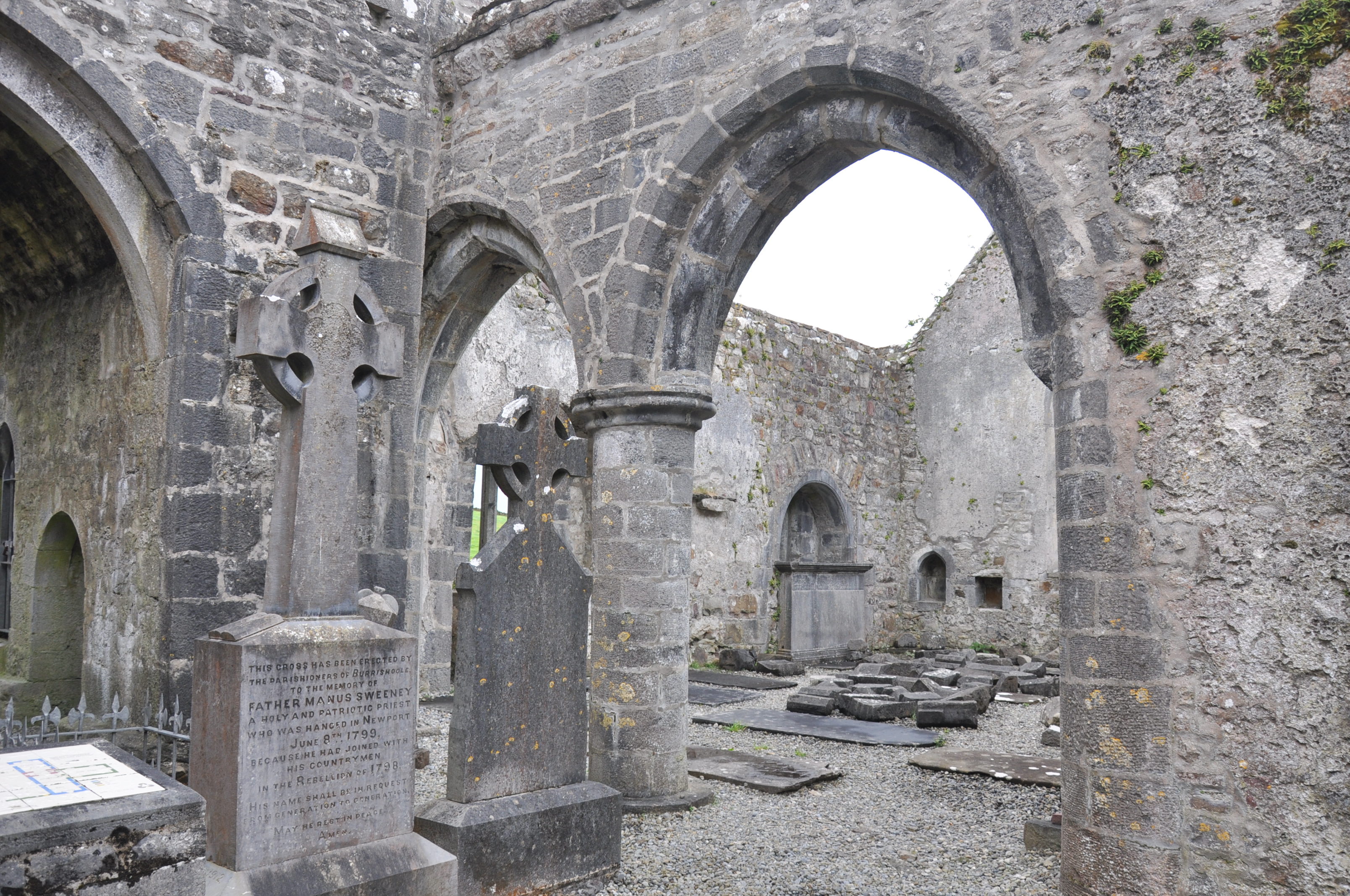
View of Transept, Borrishoole

Pontoon, Co Mayo
Beautiful Shramore
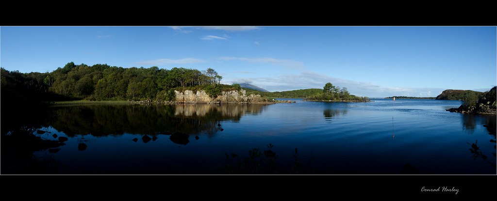
View from Burrishoole
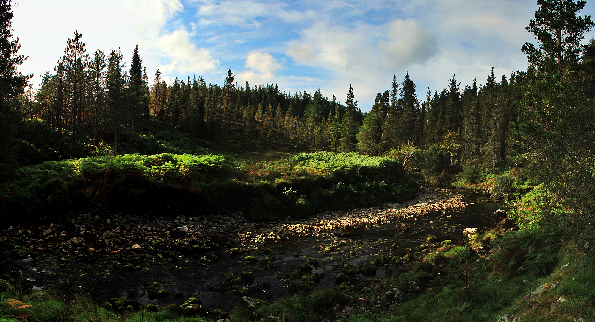
Waterfall in the Nephin Beg mountains

Hill View Bed and Breakfast _MG_9814.jpg

Autumn clouds
Their for you

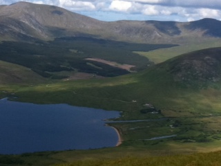
Nephin Beg Range
28/52; Burrishoole Bridge
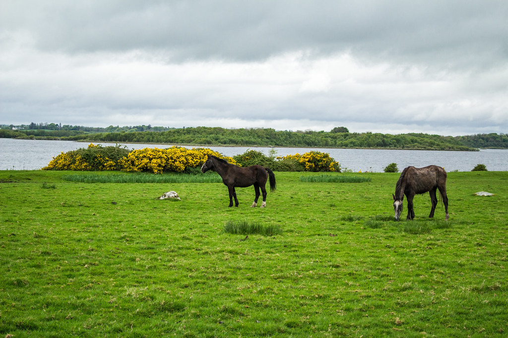
Newport River, County Mayo, Ireland
Pontoon Bridge
DSC_7505.jpg
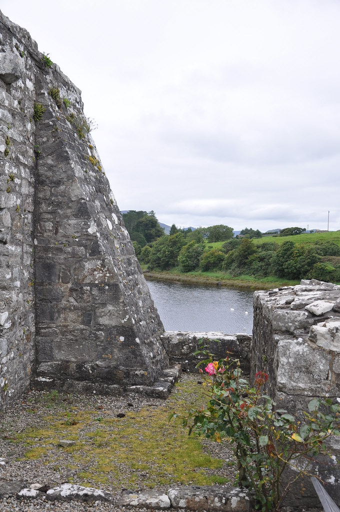
Burrishoole Abbey

Enniscoe House
IMG_2208.JPG
IMG_0528.jpg
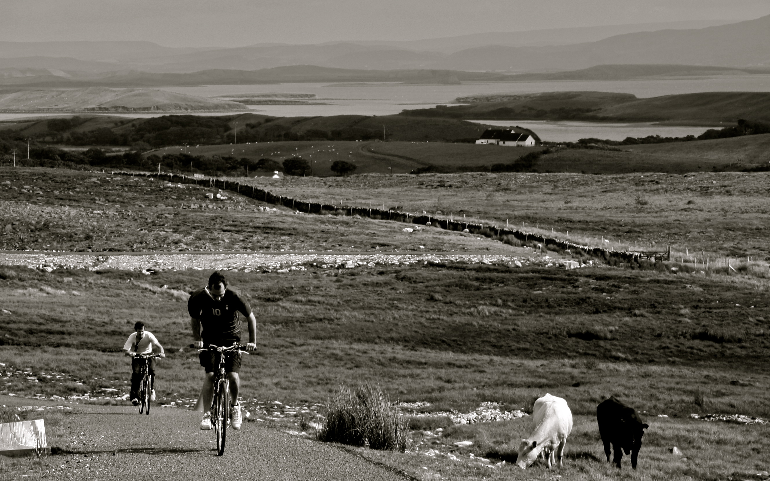
Greenway Cycle
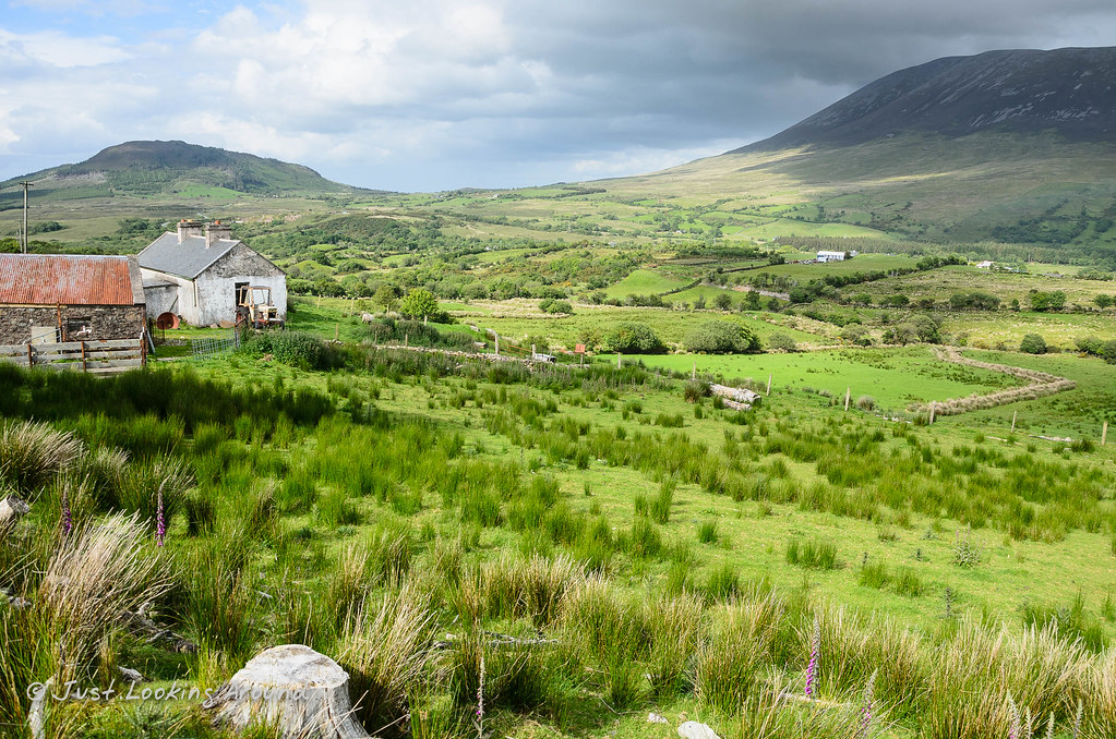
Srahmore, Co. Mayo, Ireland
IMG_0495.jpg
Nephin Mountain over Lough Conn

Ten year anniversary camp - Lough Aroher Shelter
Topographic Map of Mayo, Co. Mayo, Ireland
Find elevation by address:

Places in Mayo, Co. Mayo, Ireland:
Places near Mayo, Co. Mayo, Ireland:
Mayo
Ross
Cornagushlaun
Cornagashlaun
Five Rocks
Gort
Castlebar
Westport
Rockfleet Castle
Ballycastle
Ballycastle
Glasbanoir
Tawnaghmore Upper
Killala Business Park
F26 Tf89
28 The Glebe
Ballina
Mayo North Tourism
Rosserk
Abbeyhalfquarter
Recent Searches:
- Elevation of Corso Fratelli Cairoli, 35, Macerata MC, Italy
- Elevation of Tallevast Rd, Sarasota, FL, USA
- Elevation of 4th St E, Sonoma, CA, USA
- Elevation of Black Hollow Rd, Pennsdale, PA, USA
- Elevation of Oakland Ave, Williamsport, PA, USA
- Elevation of Pedrógão Grande, Portugal
- Elevation of Klee Dr, Martinsburg, WV, USA
- Elevation of Via Roma, Pieranica CR, Italy
- Elevation of Tavkvetili Mountain, Georgia
- Elevation of Hartfords Bluff Cir, Mt Pleasant, SC, USA