Elevation of Maxville, MT, USA
Location: United States > Montana > Granite County >
Longitude: -113.23159
Latitude: 46.464081
Elevation: 1476m / 4843feet
Barometric Pressure: 85KPa
Elevation Map:
Satellite Map:
Related Photos:

My Steamer...............I don't drink coffee
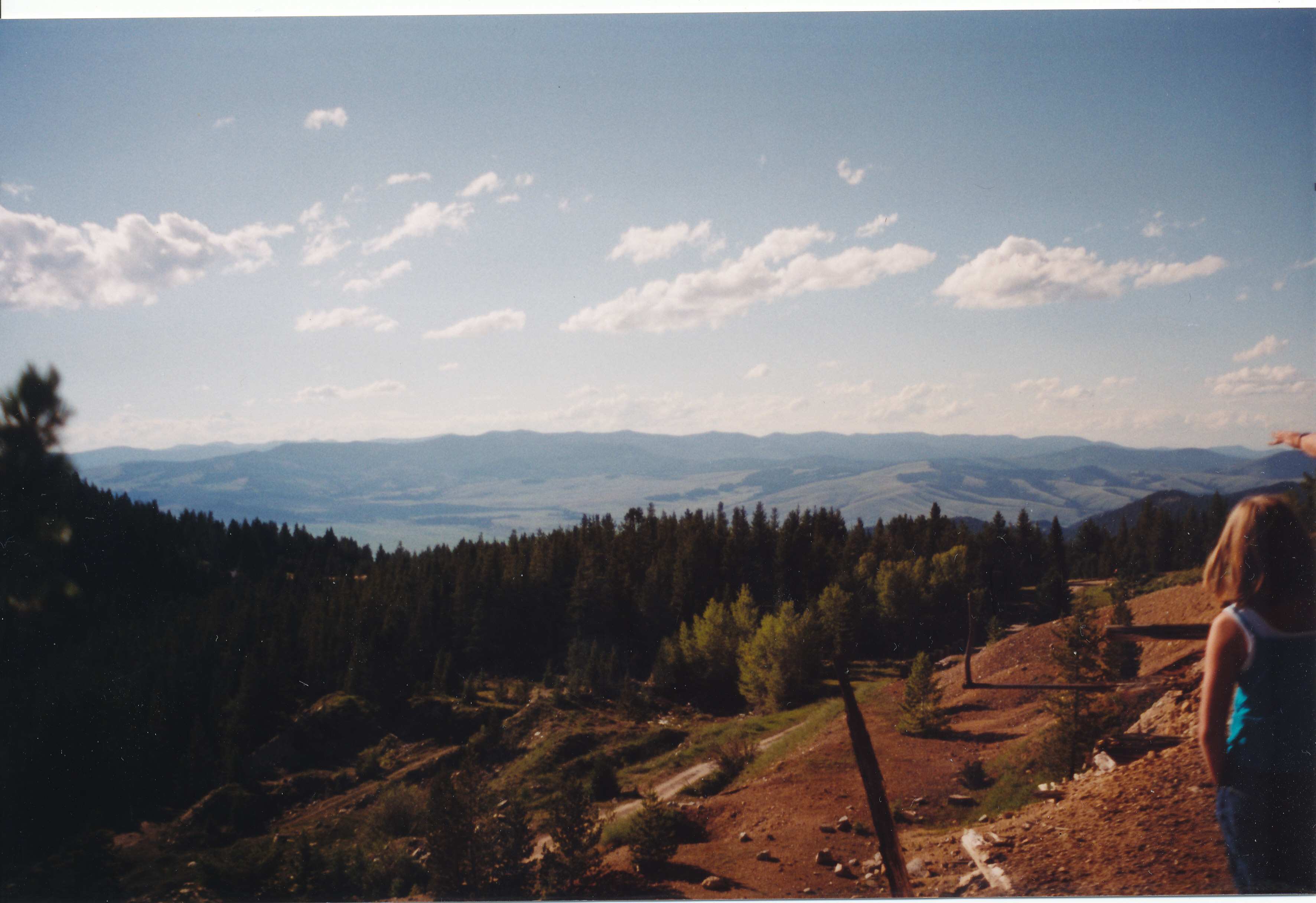
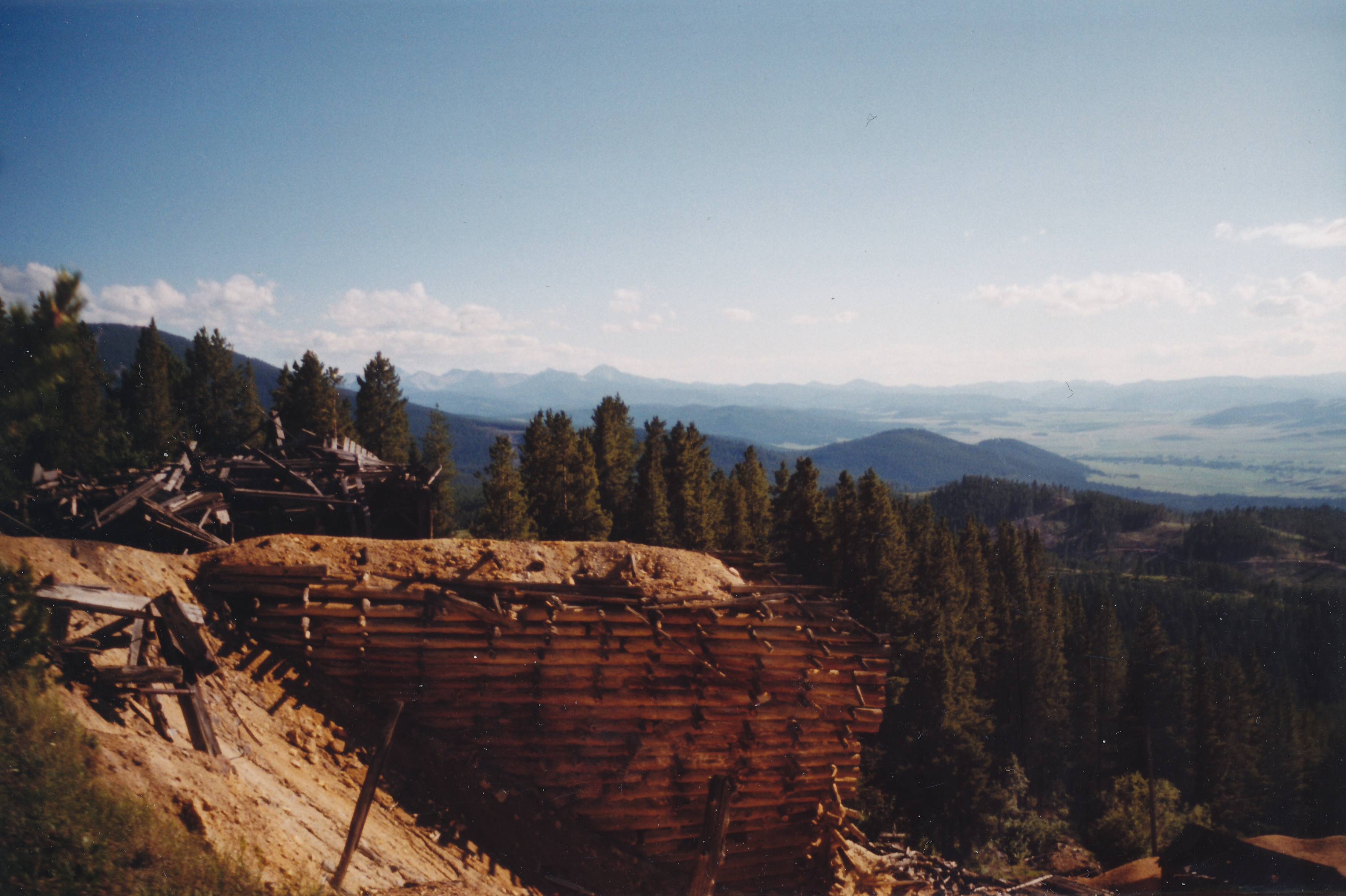
View from the Mine
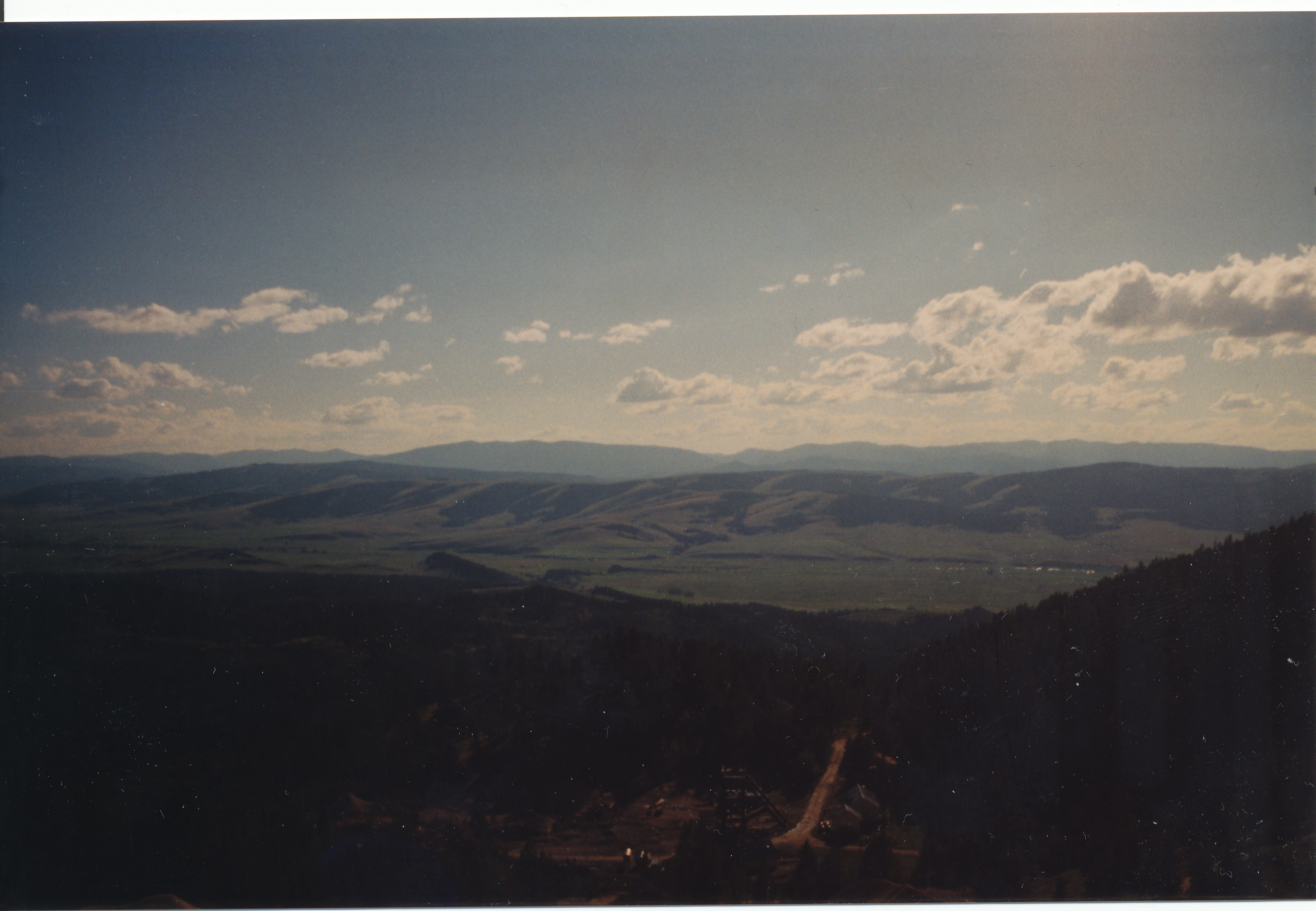
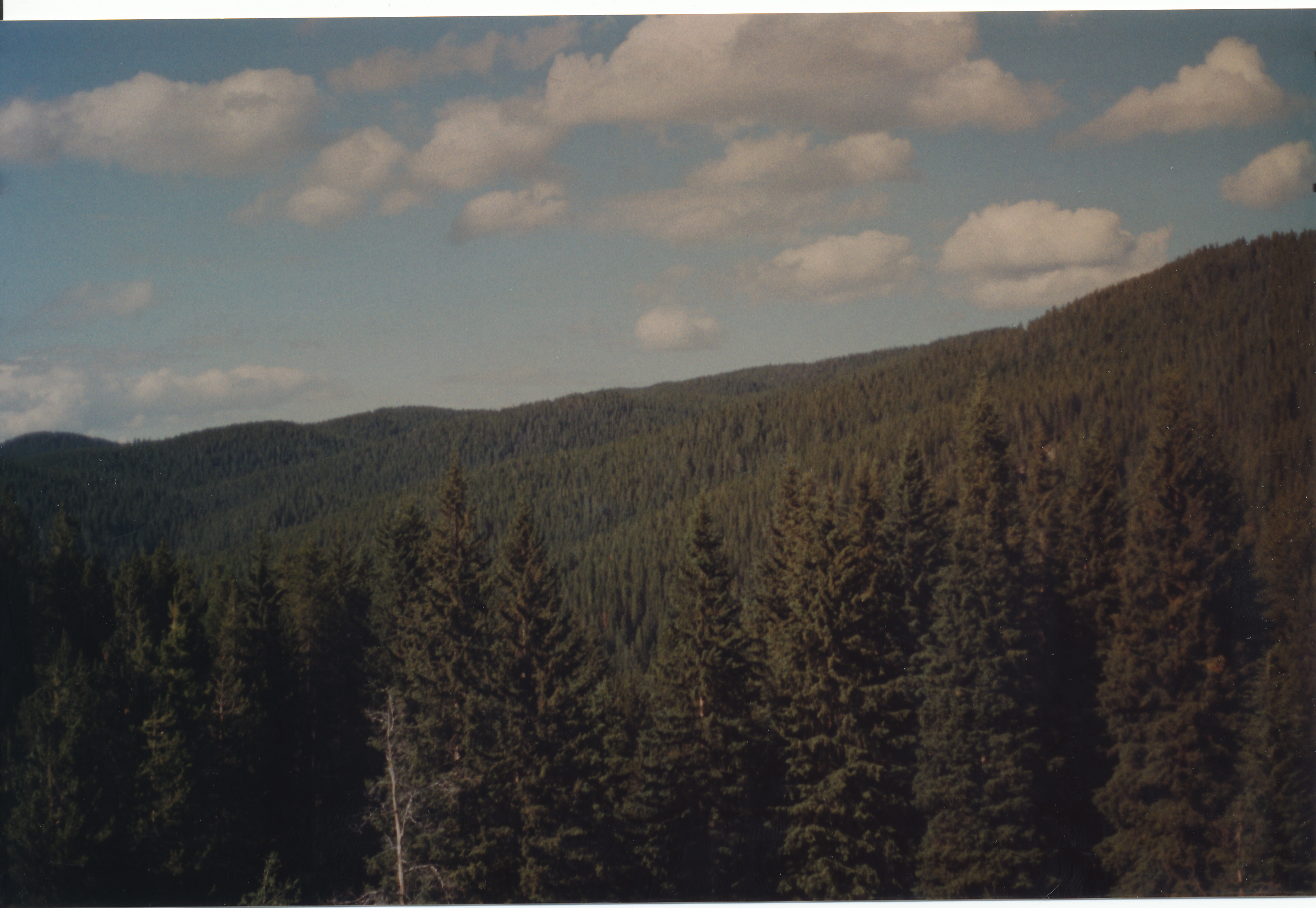
View from the Mine
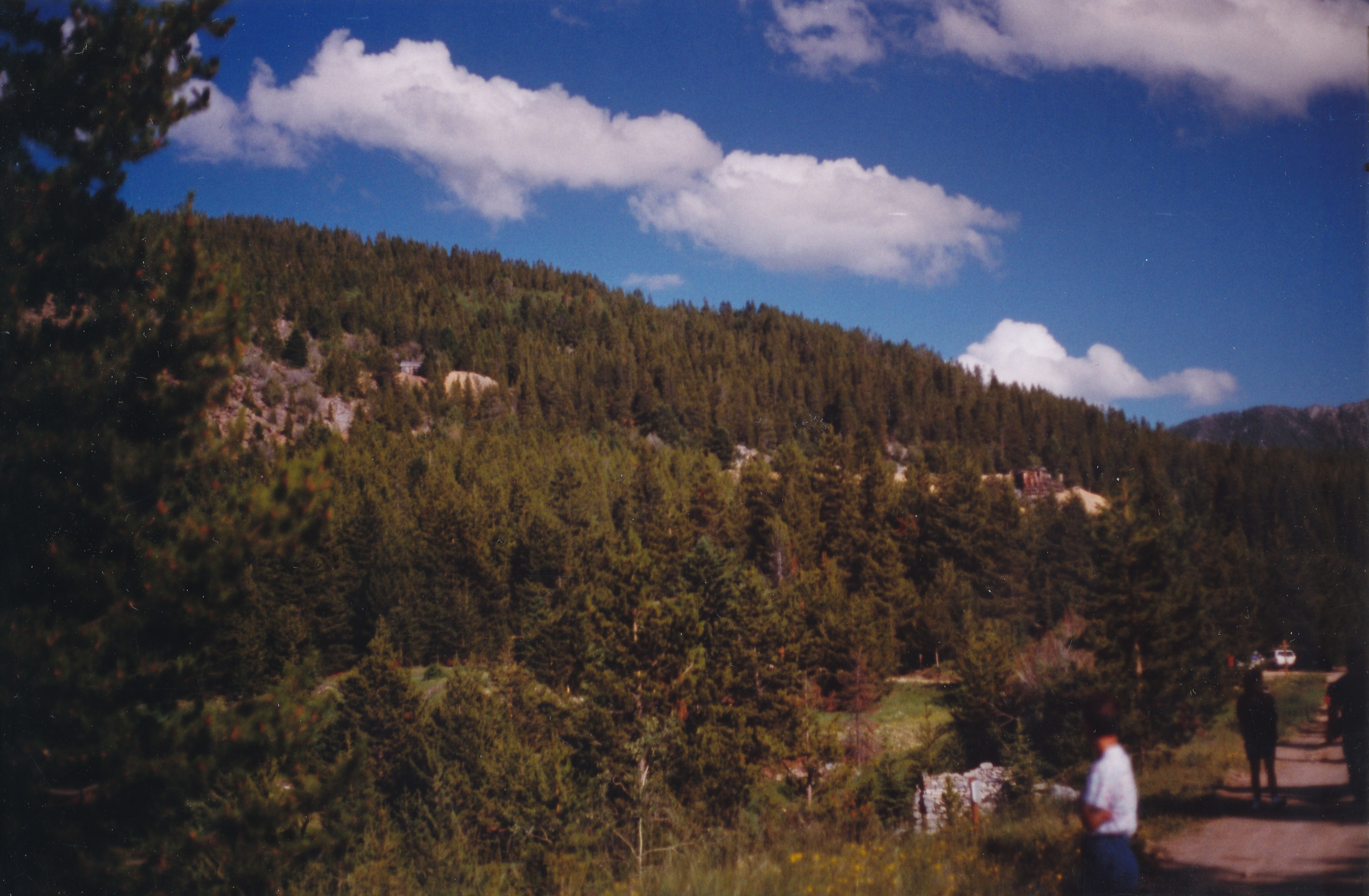
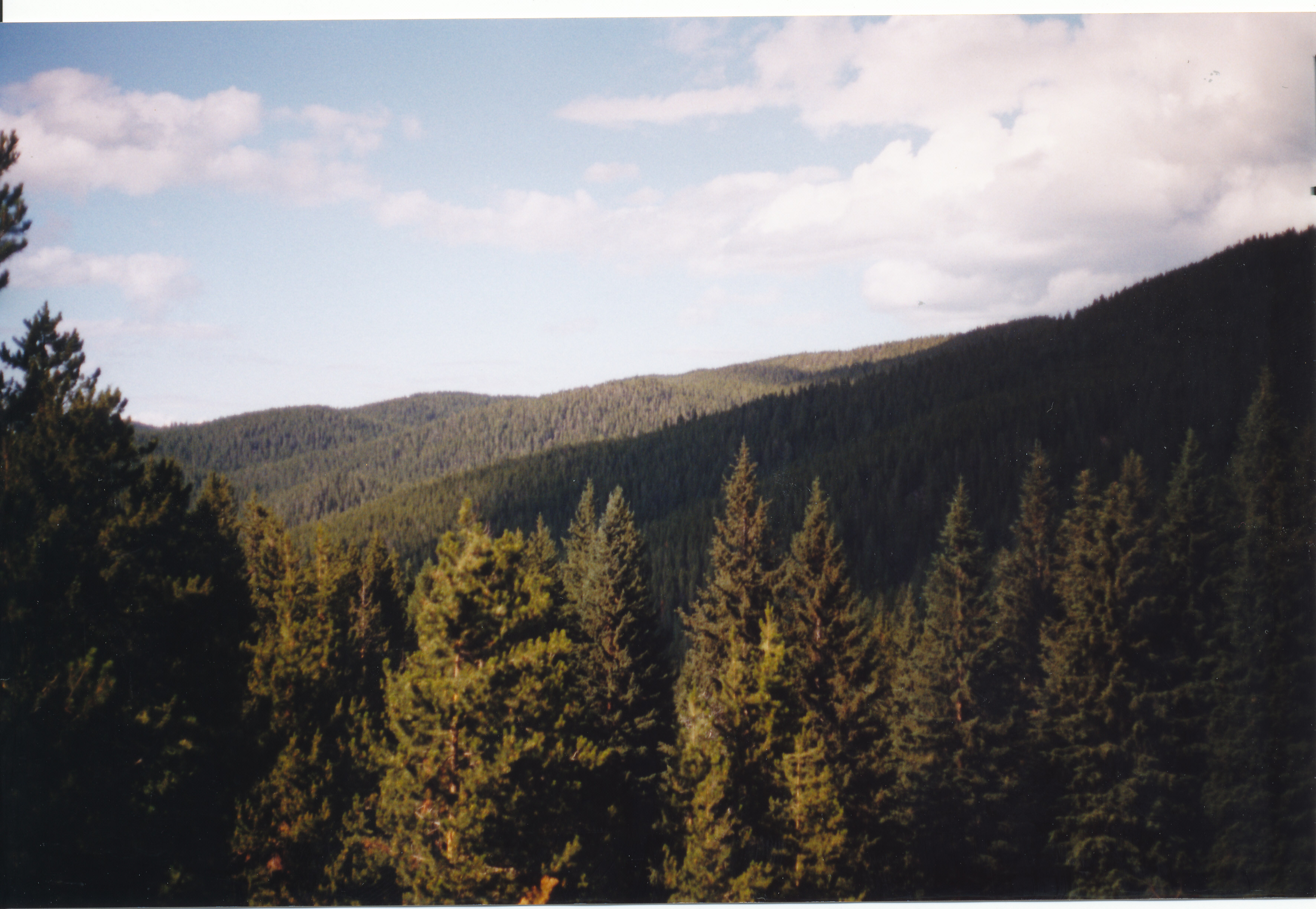
View from Granite
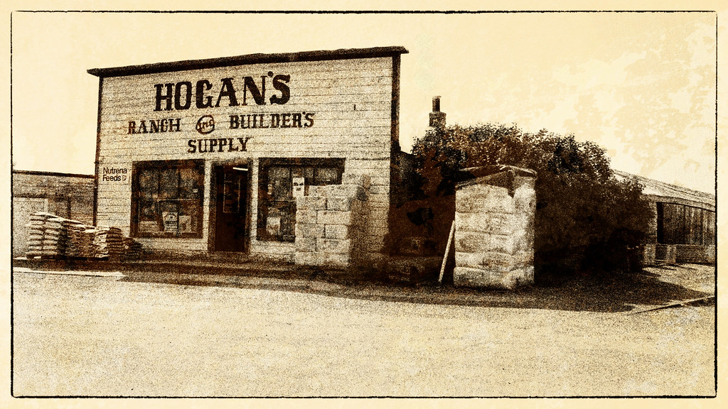
Hogan's (view on black)
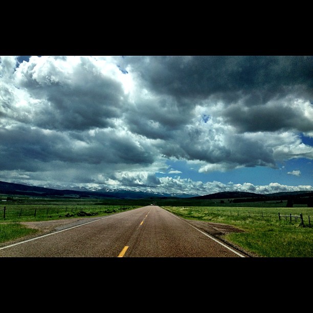
Clouds are so beautiful here! #montana #bigsky #roadtrip
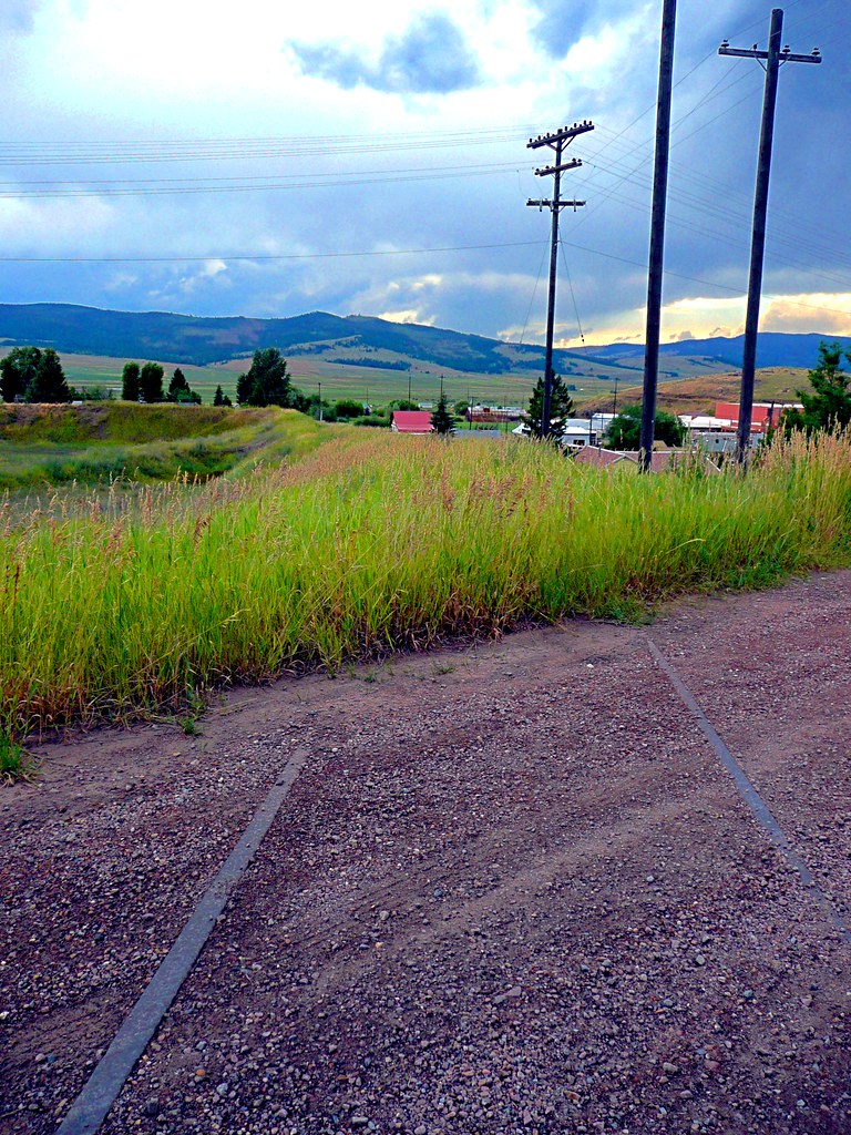
Rails to Nowhere

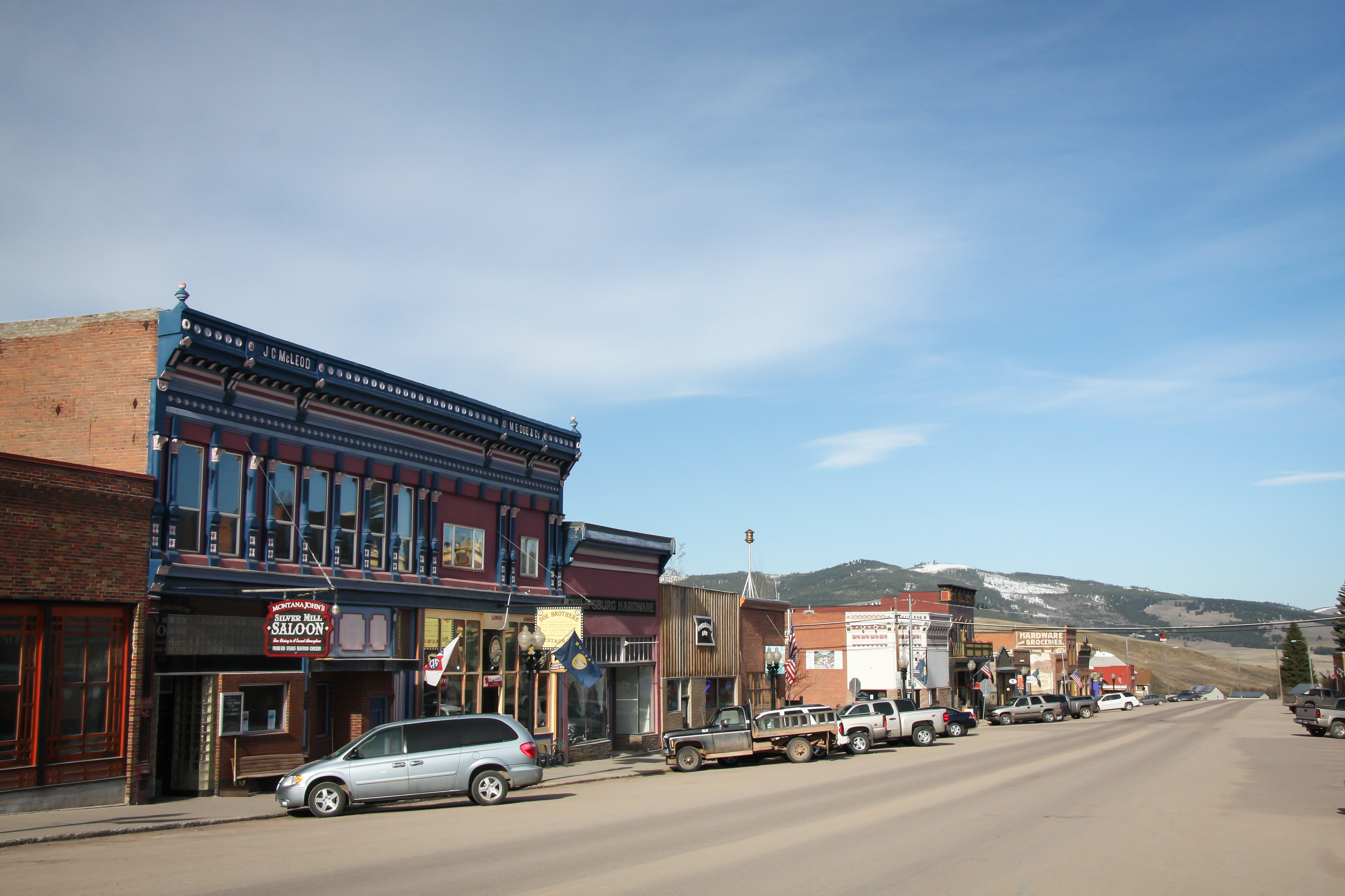
Philipsburg FTW
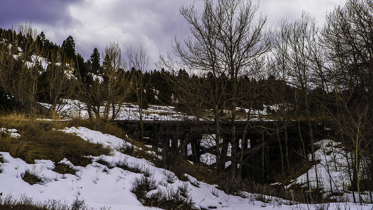
Abandoned RR bridge
Earth Day 2009 - Pburg 06.jpg
Ruby Shaft Earth Works
Trees Forever
Trees Forever
Topographic Map of Maxville, MT, USA
Find elevation by address:

Places near Maxville, MT, USA:
Maxville Road
Princeton
MT-1, Hall, MT, USA
Eureka Ridge
Hall
Rose Mountain
E Mullan Trail, Drummond, MT, USA
Drummond
Pikes Peak West
Harvey Point
Gold Creek
Gold Creek Lakes Road
Frontage Road
Jens
Tyler Point
736 Camp Mak A Dream Rd
Camp Mak-a-dream
90 Church Rd
Goldcreek
Anderson Hill
Recent Searches:
- Elevation of Corso Fratelli Cairoli, 35, Macerata MC, Italy
- Elevation of Tallevast Rd, Sarasota, FL, USA
- Elevation of 4th St E, Sonoma, CA, USA
- Elevation of Black Hollow Rd, Pennsdale, PA, USA
- Elevation of Oakland Ave, Williamsport, PA, USA
- Elevation of Pedrógão Grande, Portugal
- Elevation of Klee Dr, Martinsburg, WV, USA
- Elevation of Via Roma, Pieranica CR, Italy
- Elevation of Tavkvetili Mountain, Georgia
- Elevation of Hartfords Bluff Cir, Mt Pleasant, SC, USA