Elevation of Eureka Ridge, Montana, USA
Location: United States > Montana > Philipsburg >
Longitude: -113.10777
Latitude: 46.4438888
Elevation: 2477m / 8127feet
Barometric Pressure: 75KPa
Elevation Map:
Satellite Map:
Related Photos:
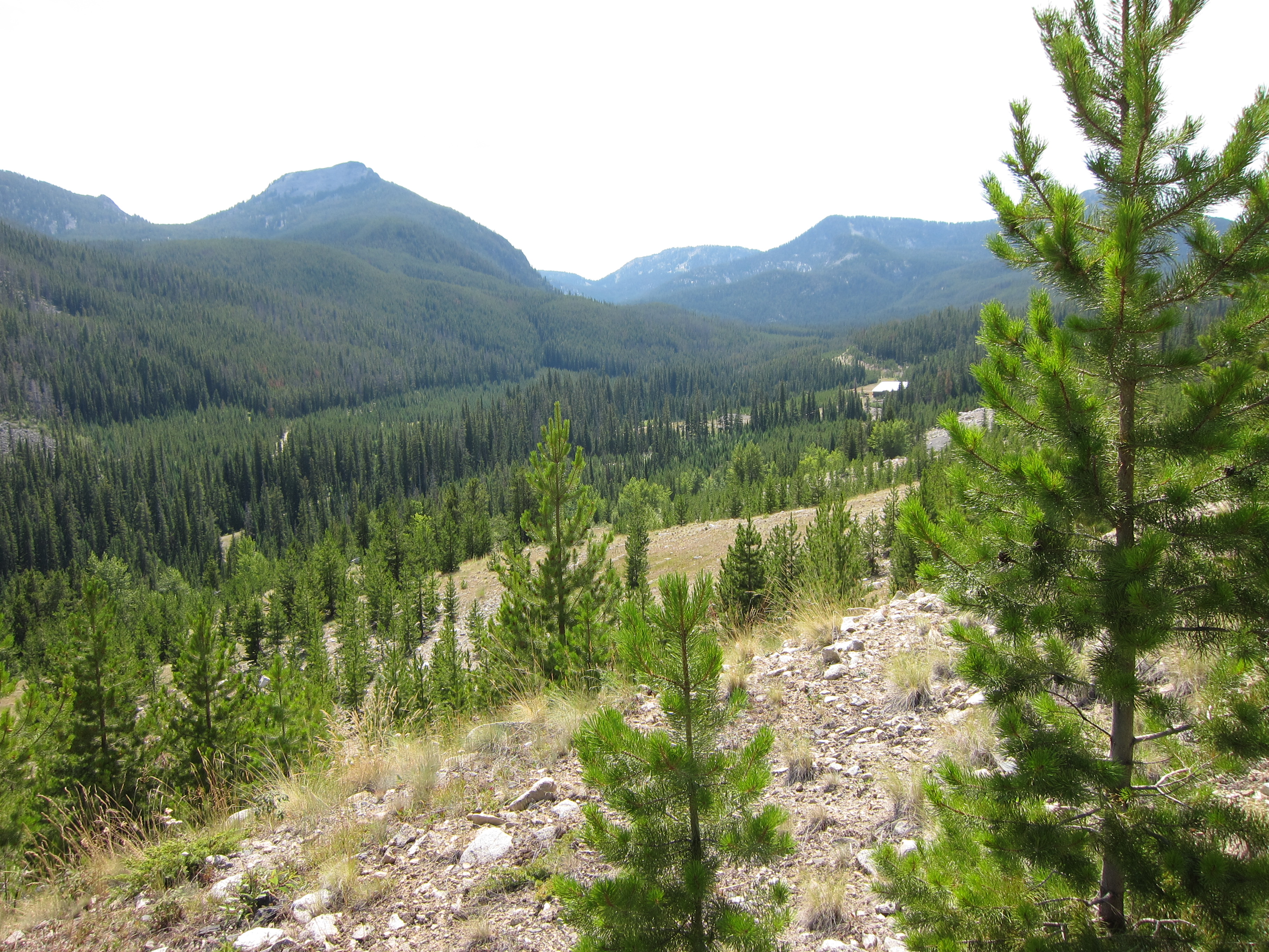
IMG_1751
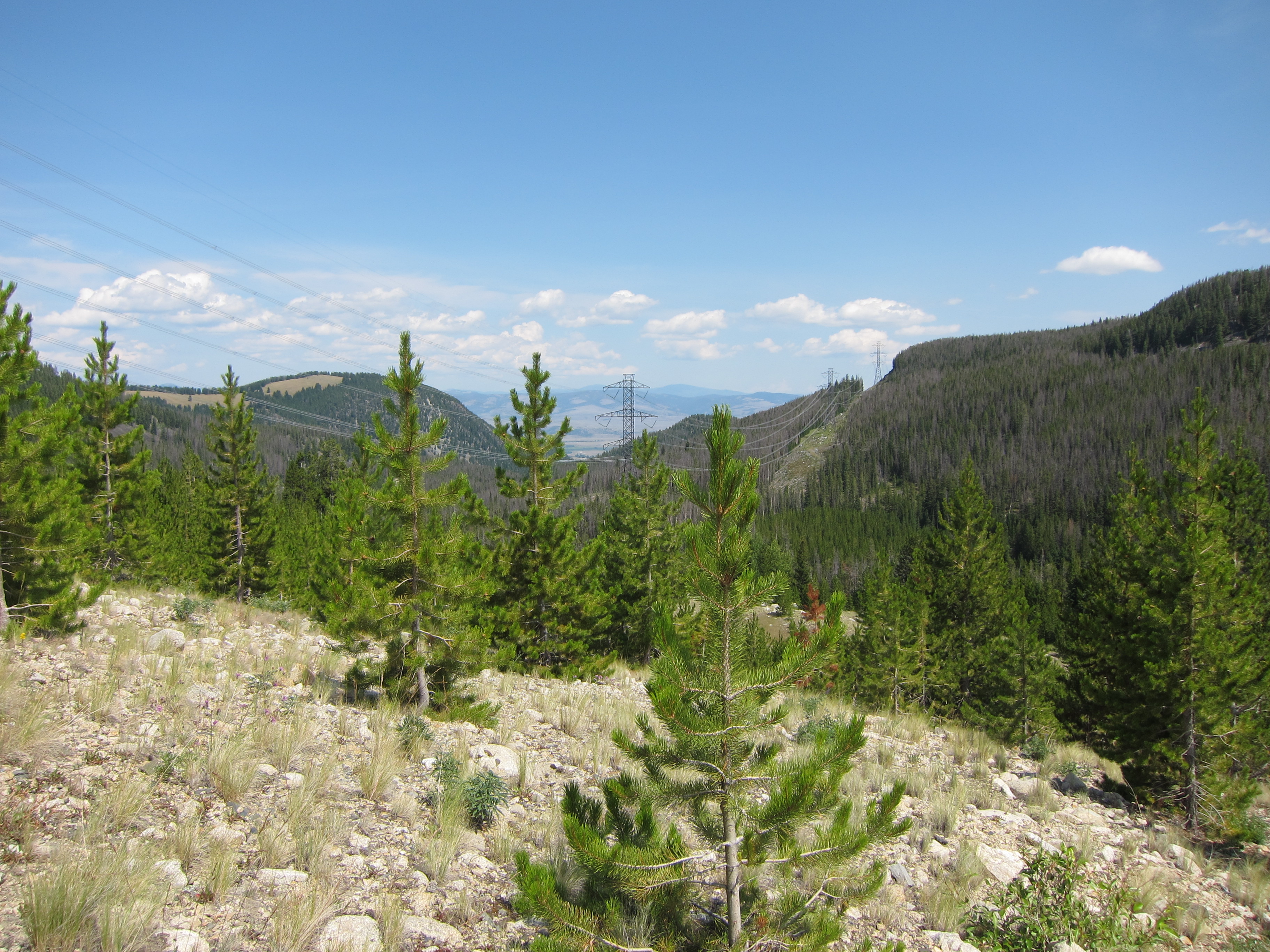
IMG_1752
Topographic Map of Eureka Ridge, Montana, USA
Find elevation by address:

Places near Eureka Ridge, Montana, USA:
Rose Mountain
Princeton
Maxville Road
Pikes Peak West
Maxville
Gold Creek
Gold Creek Lakes Road
MT-1, Hall, MT, USA
Hall
Frontage Road
E Mullan Trail, Drummond, MT, USA
Jens
736 Camp Mak A Dream Rd
Camp Mak-a-dream
90 Church Rd
Drummond
Goldcreek
Garrison
139 Bristlecone Rd
2691 Elk Mountain Rd
Recent Searches:
- Elevation of Corso Fratelli Cairoli, 35, Macerata MC, Italy
- Elevation of Tallevast Rd, Sarasota, FL, USA
- Elevation of 4th St E, Sonoma, CA, USA
- Elevation of Black Hollow Rd, Pennsdale, PA, USA
- Elevation of Oakland Ave, Williamsport, PA, USA
- Elevation of Pedrógão Grande, Portugal
- Elevation of Klee Dr, Martinsburg, WV, USA
- Elevation of Via Roma, Pieranica CR, Italy
- Elevation of Tavkvetili Mountain, Georgia
- Elevation of Hartfords Bluff Cir, Mt Pleasant, SC, USA