Elevation of Mathura, Uttar Pradesh, India
Location: India > Uttar Pradesh > Mathura >
Longitude: 77.673673
Latitude: 27.4924134
Elevation: 177m / 581feet
Barometric Pressure: 99KPa
Elevation Map:
Satellite Map:
Related Photos:
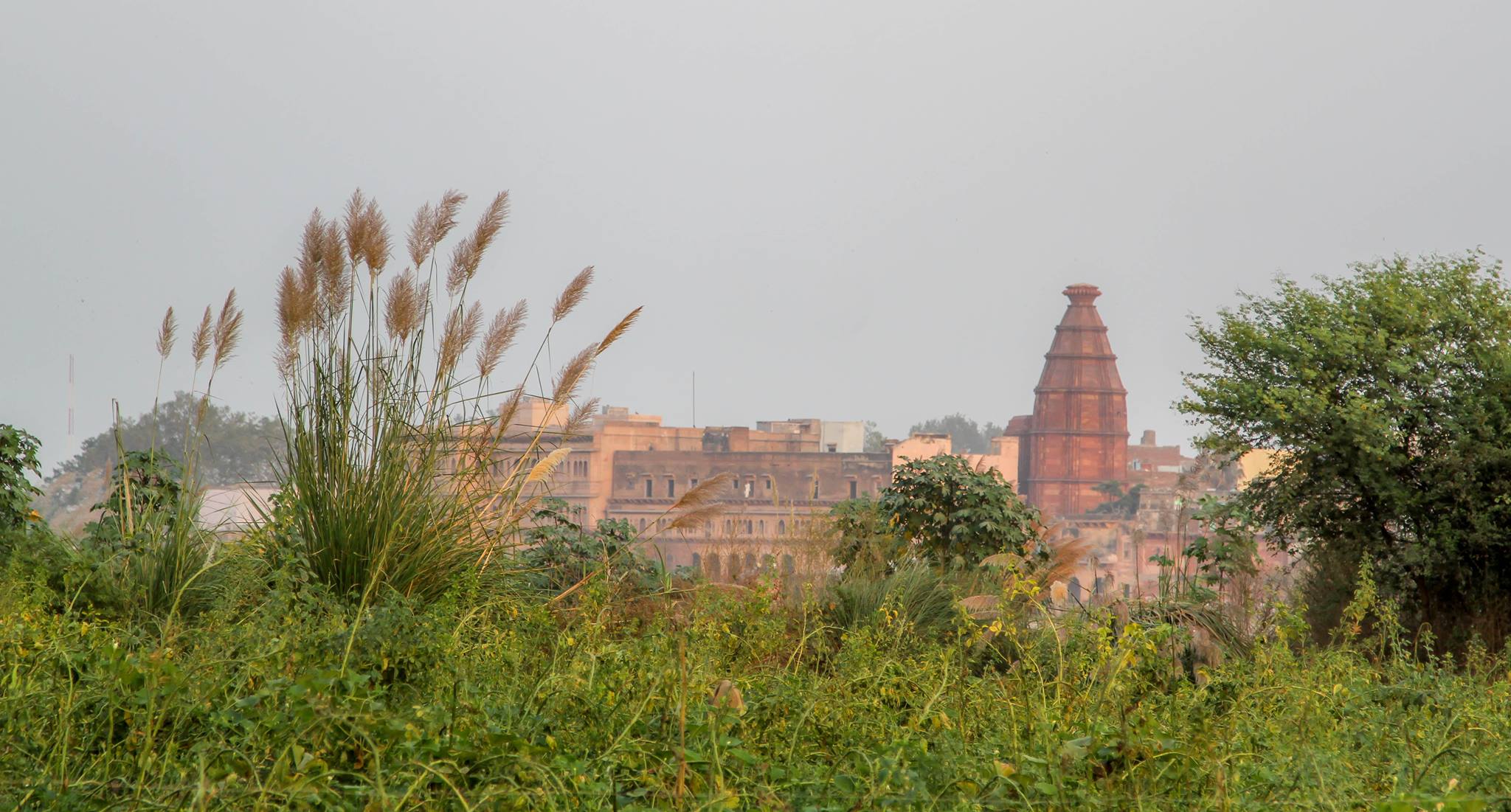
Kesi ghat view across yamuna
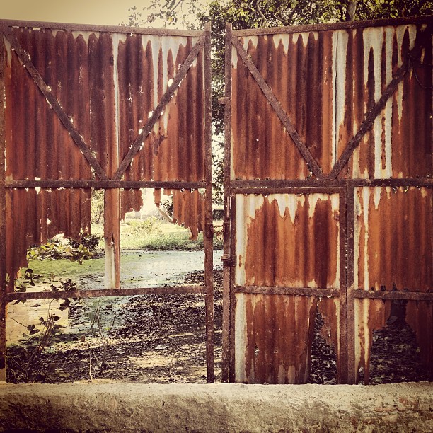
Love the view just behind the rusty gates! #vrindavan #india across the street from #premmandir

Boat - in the sacred waters of yamuna river

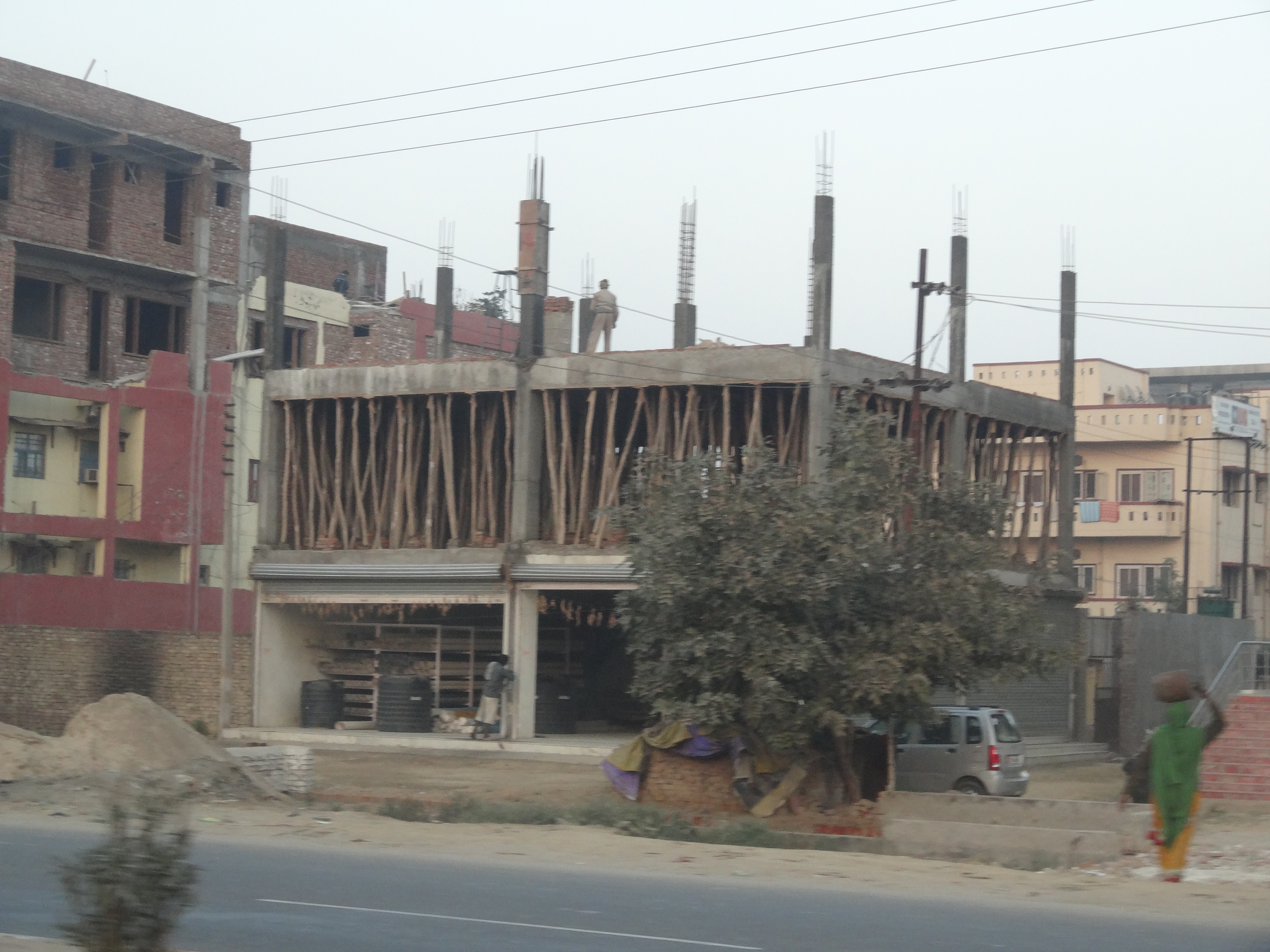
View through a wrought iron fence into a construction site #vrindavan #india

20121229-114222

Holi portrait
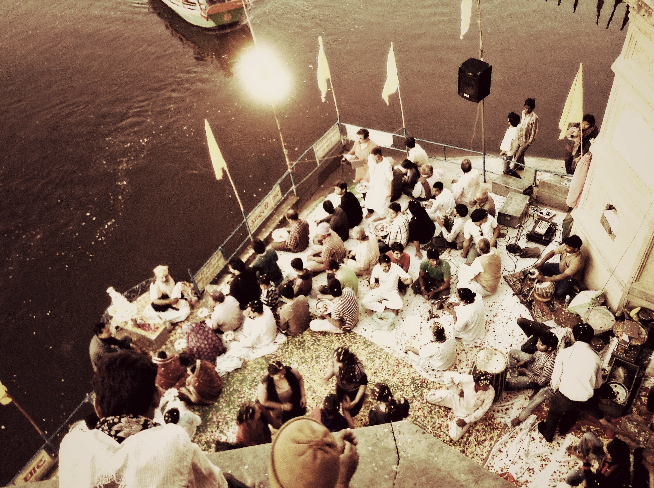
Jamuna ghat arti

Our cute auto rickshaw driver as seen in the side view mirror!!
20121229-114218

A tale of three brothers
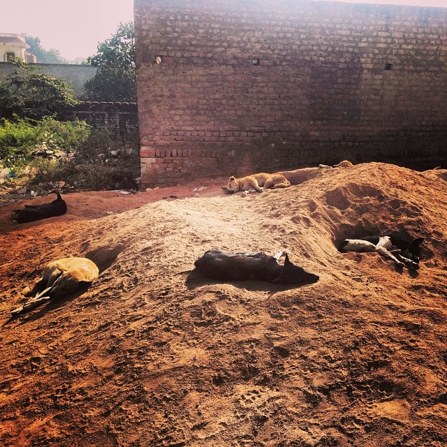
#dogs sunbathing on a pile of sand #india #vrindavan
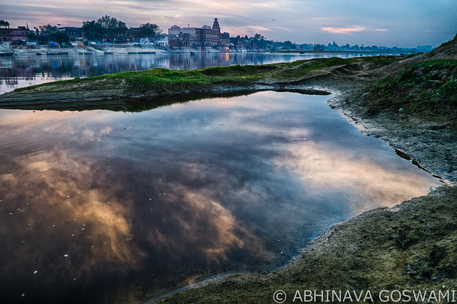
Sunset at Yamuna01

#ox #green #tree #shades #shadow #daylight #weekend #wonderful #sunday #beautiful #instafollow #instafun #bestagram #nature #landscape #krishna #god #hindu
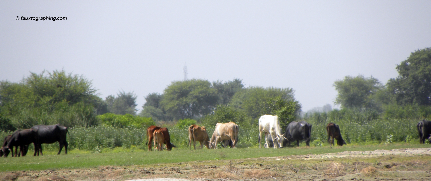
Cows in Vrindavan
Topographic Map of Mathura, Uttar Pradesh, India
Find elevation by address:

Places near Mathura, Uttar Pradesh, India:
Rajpur Khadar
Sadhu Bela Ashram, साधुबेला आश्रम।
Mathura
Dolphin Water Park
Runkata
Bharatpur
Jawahar Nagar
Track My Location
Fatehpur Sikri
Bajna
Modi Bhatta
Agra
Taj Mahal
Unnamed Road
Dharmapuri
Forest Colony
The Oberoi Amarvilas
Hodal Rural
Agra
Kuberpur
Recent Searches:
- Elevation of Corso Fratelli Cairoli, 35, Macerata MC, Italy
- Elevation of Tallevast Rd, Sarasota, FL, USA
- Elevation of 4th St E, Sonoma, CA, USA
- Elevation of Black Hollow Rd, Pennsdale, PA, USA
- Elevation of Oakland Ave, Williamsport, PA, USA
- Elevation of Pedrógão Grande, Portugal
- Elevation of Klee Dr, Martinsburg, WV, USA
- Elevation of Via Roma, Pieranica CR, Italy
- Elevation of Tavkvetili Mountain, Georgia
- Elevation of Hartfords Bluff Cir, Mt Pleasant, SC, USA