Elevation of Bajna, Uttar Pradesh, India
Location: India > Uttar Pradesh > Mathura >
Longitude: 77.6779499
Latitude: 27.8970432
Elevation: 189m / 620feet
Barometric Pressure: 99KPa
Elevation Map:
Satellite Map:
Related Photos:

Rural India

Taj Express

The long shot at #TajMahal

Sun through the fog, Agra

On the way to Agra

#smoke #double

Brickworks chimneys
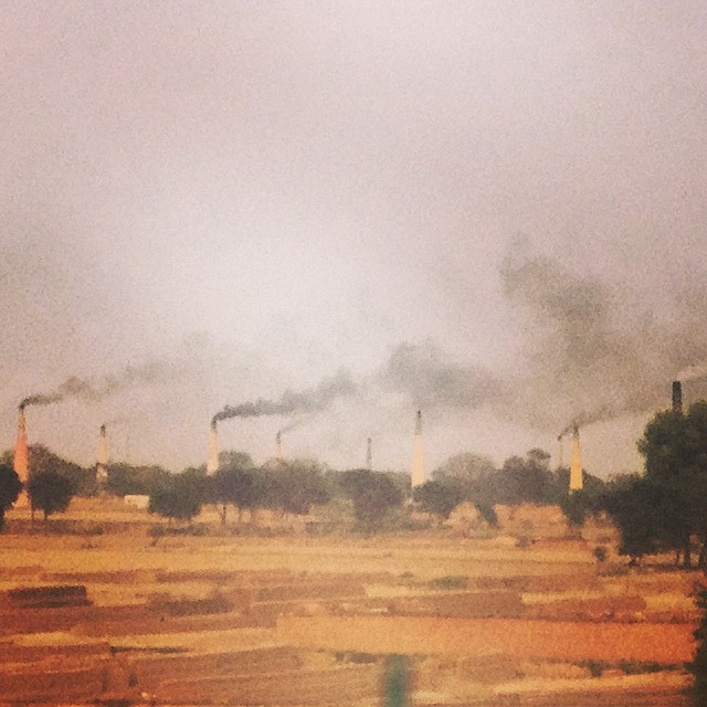
Brick baking smoke stacks on full steam. #incredibleindia

En Route To Agra
Topographic Map of Bajna, Uttar Pradesh, India
Find elevation by address:

Places near Bajna, Uttar Pradesh, India:
Modi Bhatta
Mathura
Hodal Rural
Sadhu Bela Ashram, साधुबेला आश्रम।
Rajpur Khadar
Mathura
Aligarh
Aligarh
Dolphin Water Park
Runkata
Bharatpur
Jawahar Nagar
Track My Location
Agra
Kuberpur
Avanti Bai Kanya Inter College
Fatehpur Sikri
Taj Mahal
Unnamed Road
Dharmapuri
Recent Searches:
- Elevation of Corso Fratelli Cairoli, 35, Macerata MC, Italy
- Elevation of Tallevast Rd, Sarasota, FL, USA
- Elevation of 4th St E, Sonoma, CA, USA
- Elevation of Black Hollow Rd, Pennsdale, PA, USA
- Elevation of Oakland Ave, Williamsport, PA, USA
- Elevation of Pedrógão Grande, Portugal
- Elevation of Klee Dr, Martinsburg, WV, USA
- Elevation of Via Roma, Pieranica CR, Italy
- Elevation of Tavkvetili Mountain, Georgia
- Elevation of Hartfords Bluff Cir, Mt Pleasant, SC, USA