Elevation of Marwick Dr, Dublin, CA, USA
Location: United States > California > Alameda County > Dublin >
Longitude: -121.95339
Latitude: 37.7193403
Elevation: 223m / 732feet
Barometric Pressure: 99KPa
Elevation Map:
Satellite Map:
Related Photos:

Ever Seen the Movie Duel?
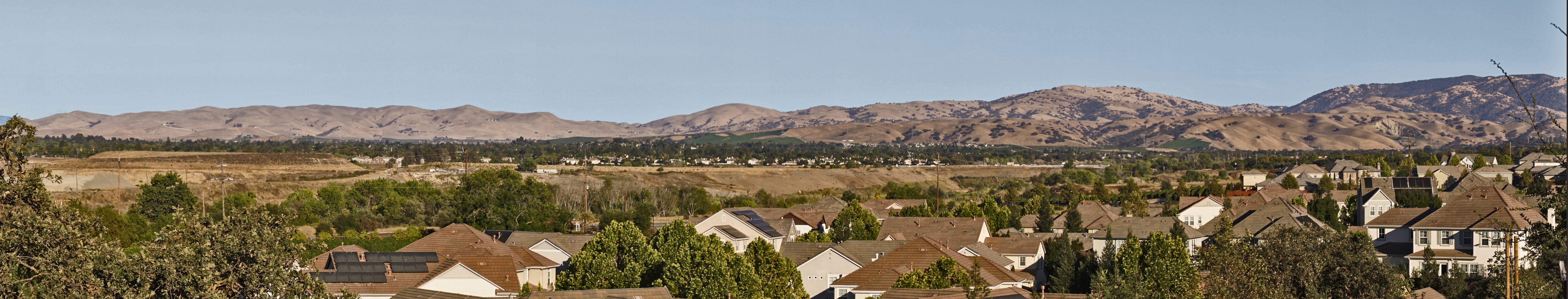
Livermore - the Big Picture
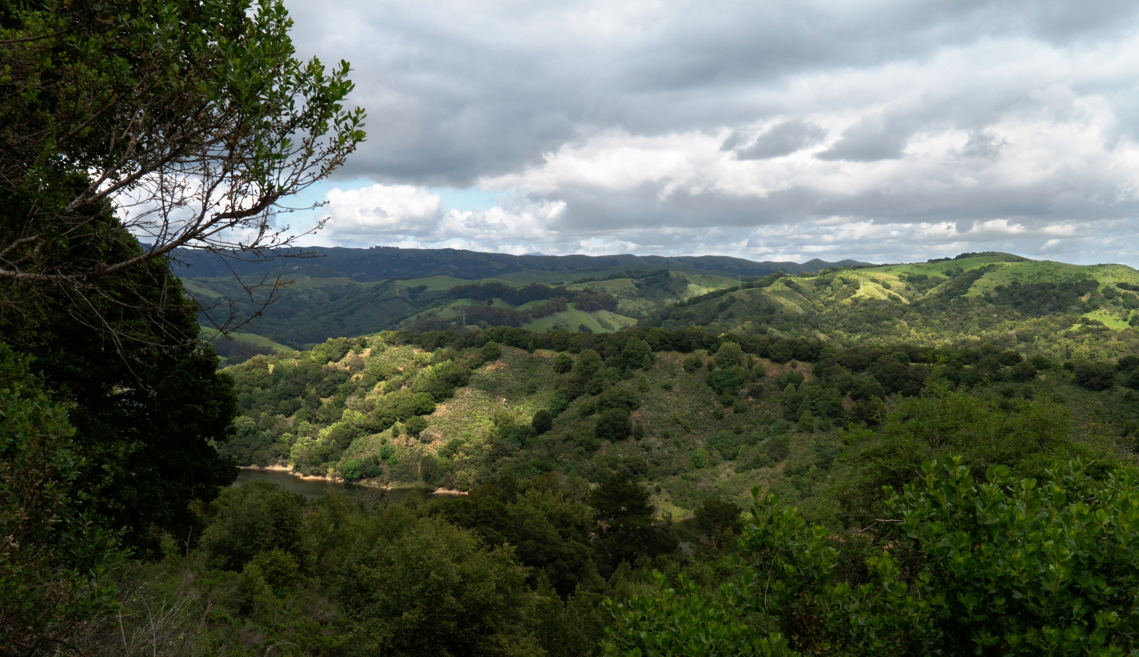
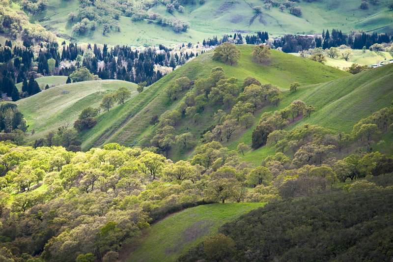
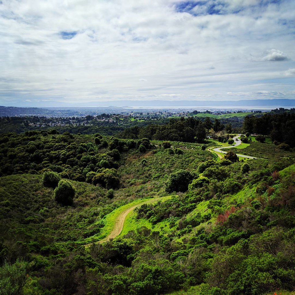
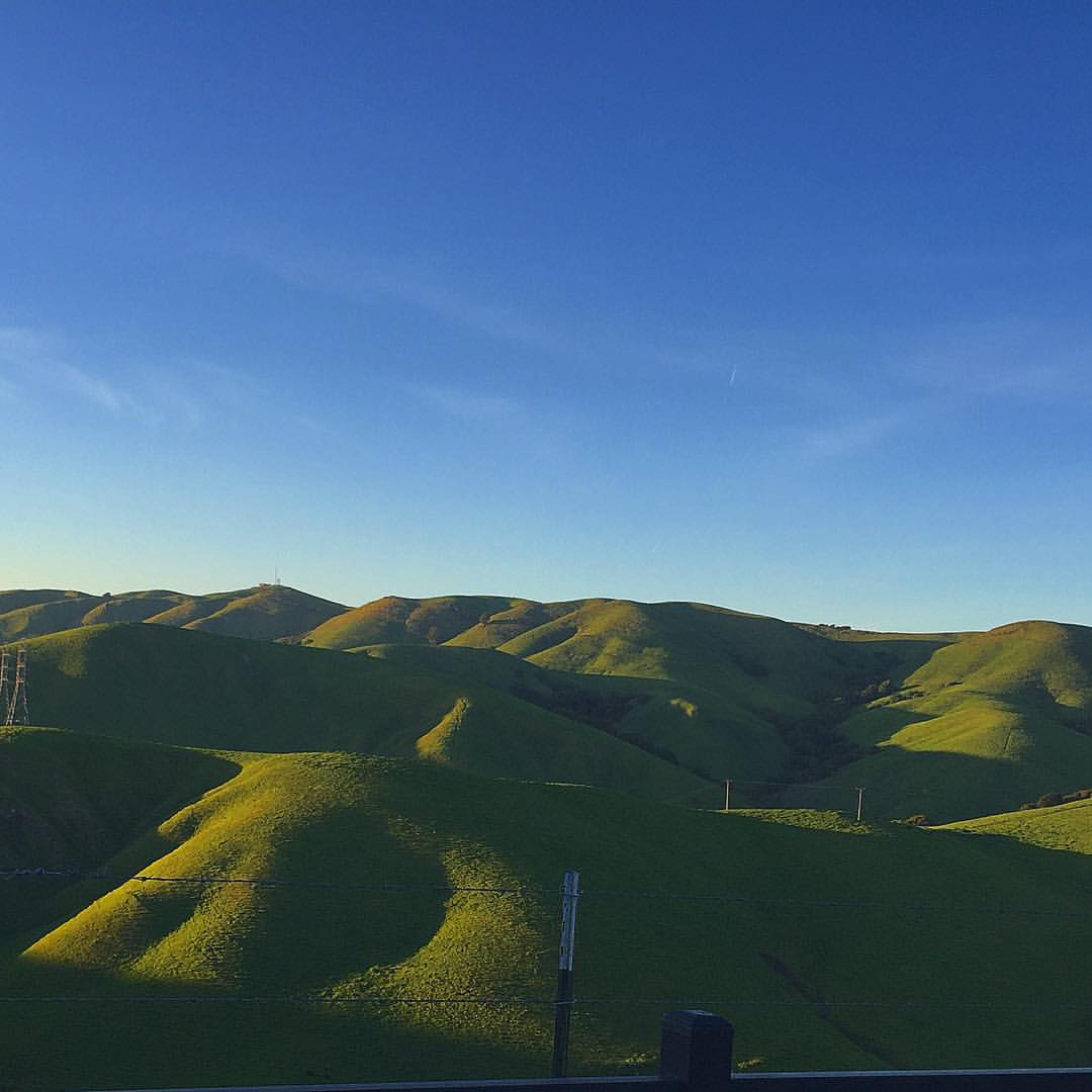
While the Hills are Green!
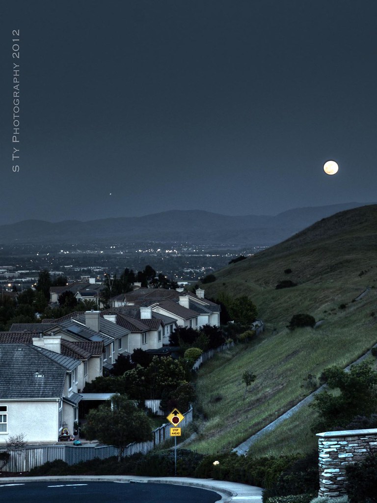
Serenity - Super Moon over Dublin 05-05-2012
dublin / pleasanton platform in the rain

just before the downpour
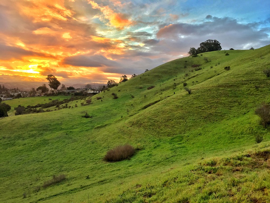
Stroke of Fall
pivot panorama

All Jeweled Up

DSC00001 - Version 2
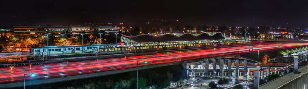
over the west dublin bart station
The California Skunk
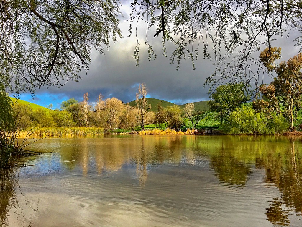
After the Rains

#cloud #sky #blue #circular #circle #sun #nature #view #scenery

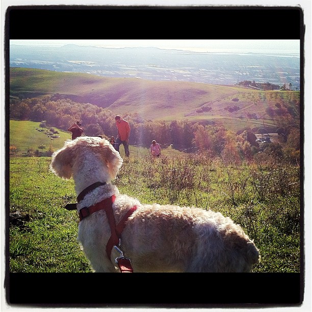
Another anthropological point of view

wheels on fire

View From a Library Carrel
The view from above.

Empty seats at the stadium

view from today's library carrel

Fluorescein Dye
Lake Chabot

Las Trampas
Reinstein Ranch

...glowing grasses, so nice to see in late summer and fall
Chabot Park
Doolan Canyon

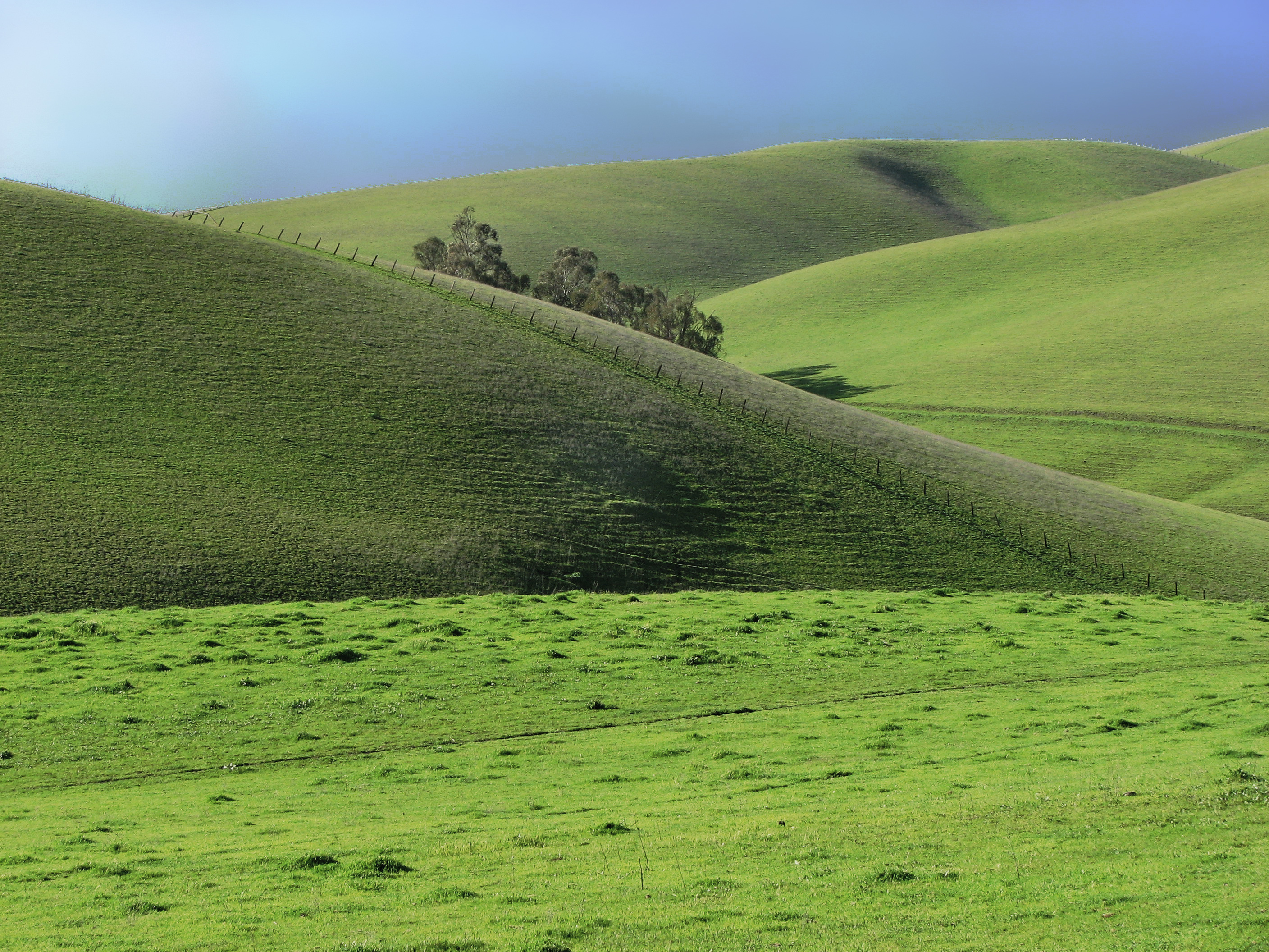
Green Slopes
Lake Chabot
rain and sun alternating

Tree of Light

Night View of Tri-Valley

1869 Line Poll in Niles Canyon

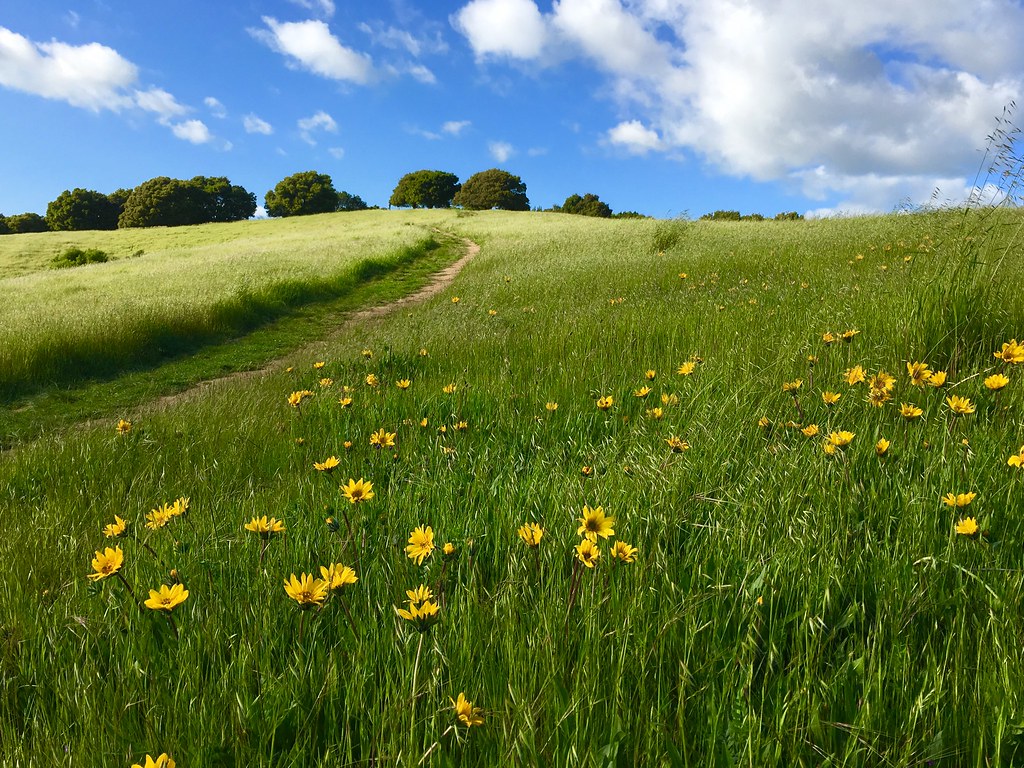
Trail to the Yellow Flowers

spring all the way
Something about these hills...remind me of Shrek.
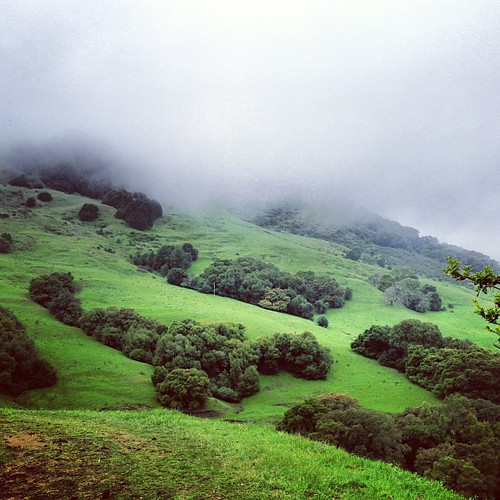
Th fog was rolling in quick!

Foggy Road, Livermore

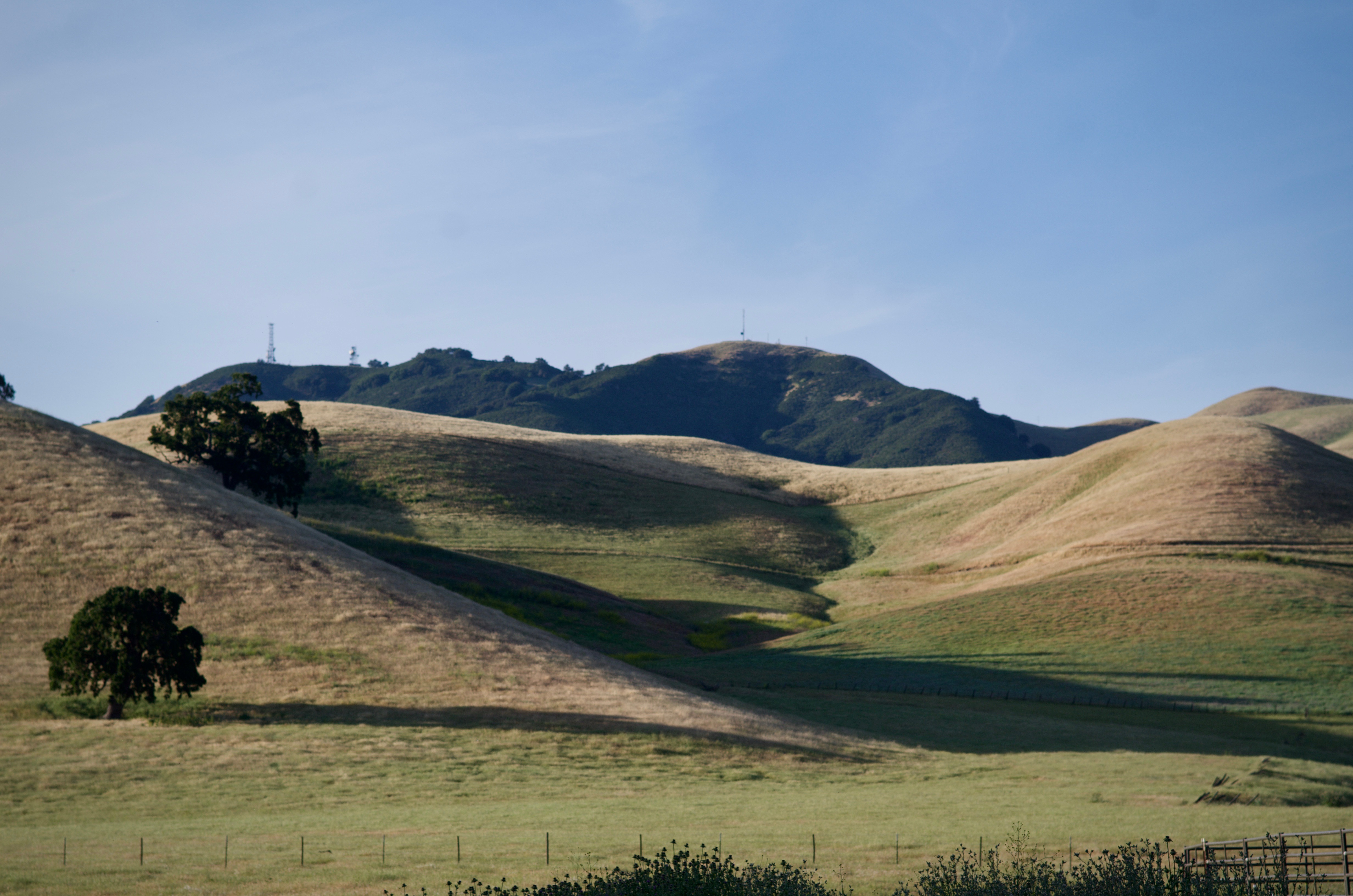
Secret Hill
Topographic Map of Marwick Dr, Dublin, CA, USA
Find elevation by address:

Places near Marwick Dr, Dublin, CA, USA:
11915 W Vomac Rd
Baagan
8890 Bellina Commons
11610 Estrella Ct
7900 Shannon Ct
9440 Davona Dr
Northland Avenue
7711 Firebrand Dr
311 Kingsley Pl
Sovereign Court
7805 Ridgeline Dr
69 Elmwood Dr
Petco Animal Supplies
San Ramon Rd, Dublin, CA, USA
Dublin
Davona Dr, Dublin, CA, USA
7601 Ridgeline Dr
2861 Millbridge Pl
3100 Riviera Way
Safeway
Recent Searches:
- Elevation of Corso Fratelli Cairoli, 35, Macerata MC, Italy
- Elevation of Tallevast Rd, Sarasota, FL, USA
- Elevation of 4th St E, Sonoma, CA, USA
- Elevation of Black Hollow Rd, Pennsdale, PA, USA
- Elevation of Oakland Ave, Williamsport, PA, USA
- Elevation of Pedrógão Grande, Portugal
- Elevation of Klee Dr, Martinsburg, WV, USA
- Elevation of Via Roma, Pieranica CR, Italy
- Elevation of Tavkvetili Mountain, Georgia
- Elevation of Hartfords Bluff Cir, Mt Pleasant, SC, USA