Elevation of Martin Dales, Woodhall Spa LN10, UK
Location: United Kingdom > England > Lincolnshire >
Longitude: -0.2553232
Latitude: 53.1398965
Elevation: 2m / 7feet
Barometric Pressure: 101KPa
Elevation Map:
Satellite Map:
Related Photos:

Bardney, Lincolnshire
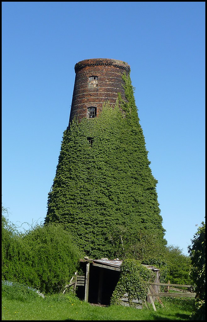
The Old Meg Flour Mill, Metheringham, Lincolnshire

Digby, Lincolnshire
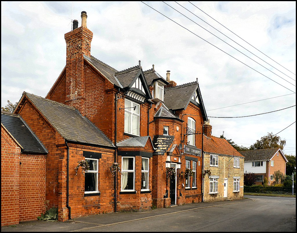
The Chequers, Potterhanworth, Lincolnshire

Dorrington, Lincolnshire

Ashby de la Launde, Lincolnshire

Digby, Lincolnshire

Ashby de la Launde, Lincolnshire

Billinghay, Lincolnshire

Bardney, Lincolnshire

Digby, Lincolnshire

Bucknell, Lincolnshire

Billinghay, Lincolnshire

Ashby de la Launde, Lincolnshire

St John the Divine, Southrey 10.05.2014

Billinghay, Lincolnshire

Bloxholm, Lincolnshire

Rowston, Lincolnshire

Ashby de la Launde, Lincolnshire

Bloxholm, Lincolnshire

Apley, Lincolnshire

St Marys Church
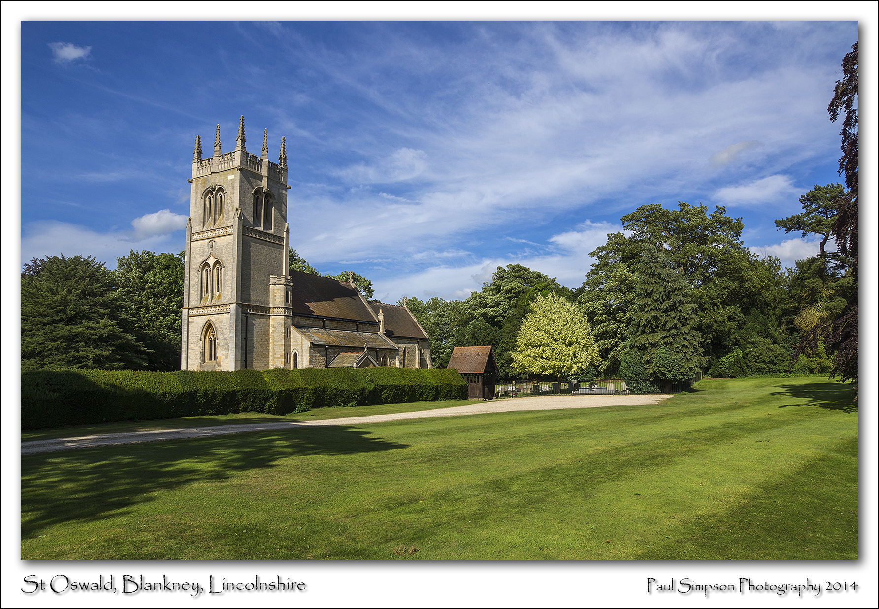
St Oswald, Blankney, Lincolnshire
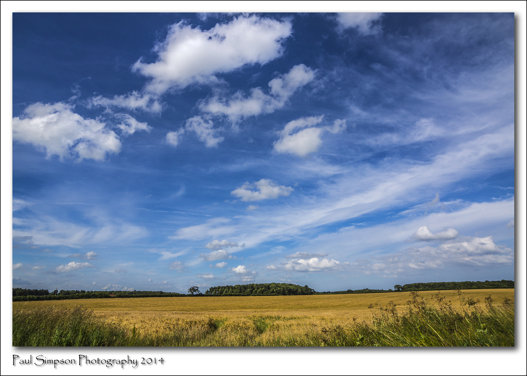
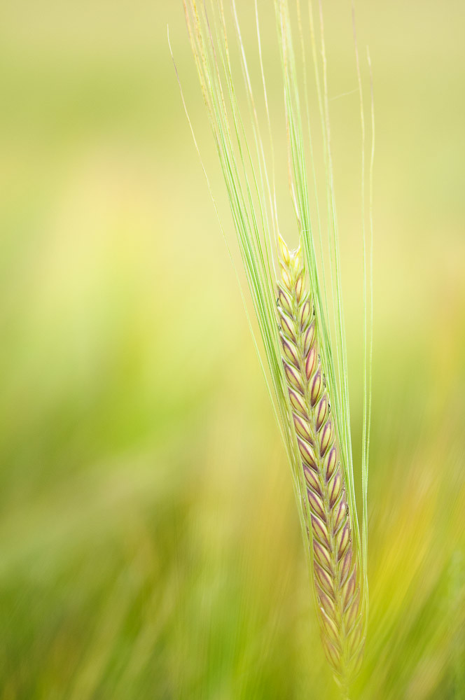
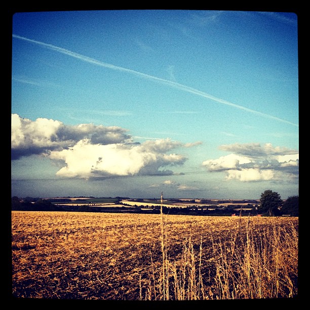
Lincolnshire Summer
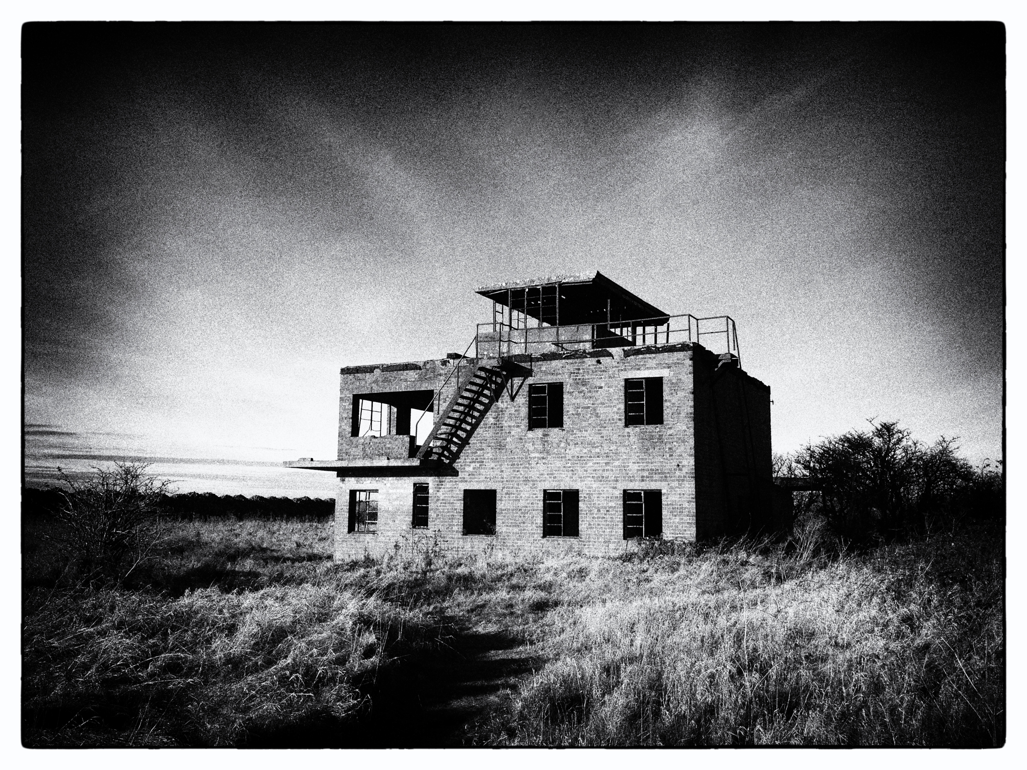
Old conning tower
Bardney fields No.2

Kyme Tower
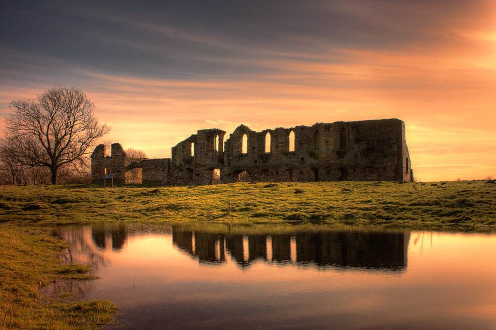
"Tupholme Abbey"
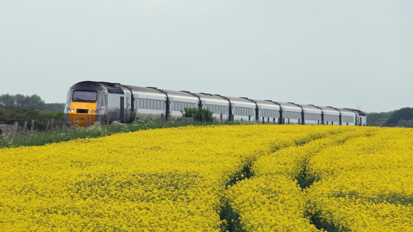
Diverted East Coast HST at Rowston, Lincolnshire
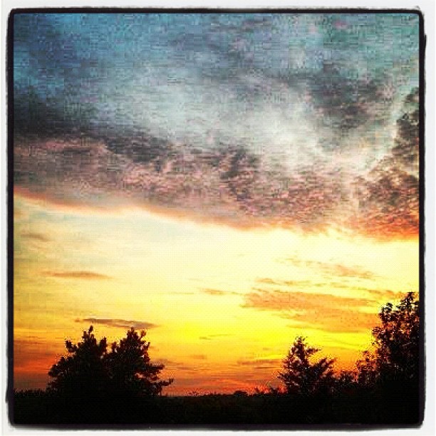
Red Sky at Night

Marsh Fritillary - Euphydryas aurinia

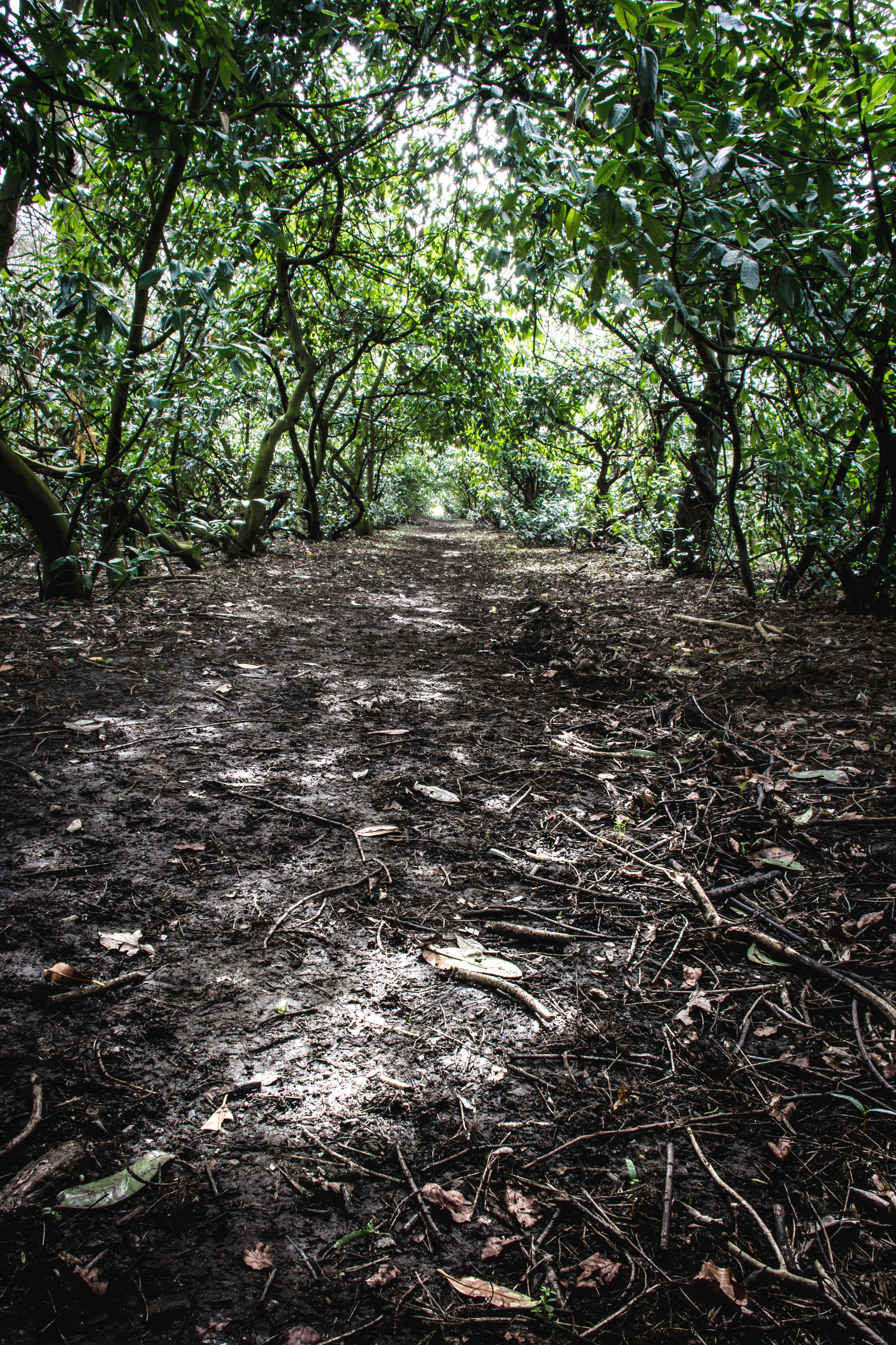
Haverholme Woods

Running around in the woods

Reflections.

pond at Abbey Warren Farm
Langton Hill #horncastle #field
Solitary Walk

Marsh Fritillary

Tupholme Abbey
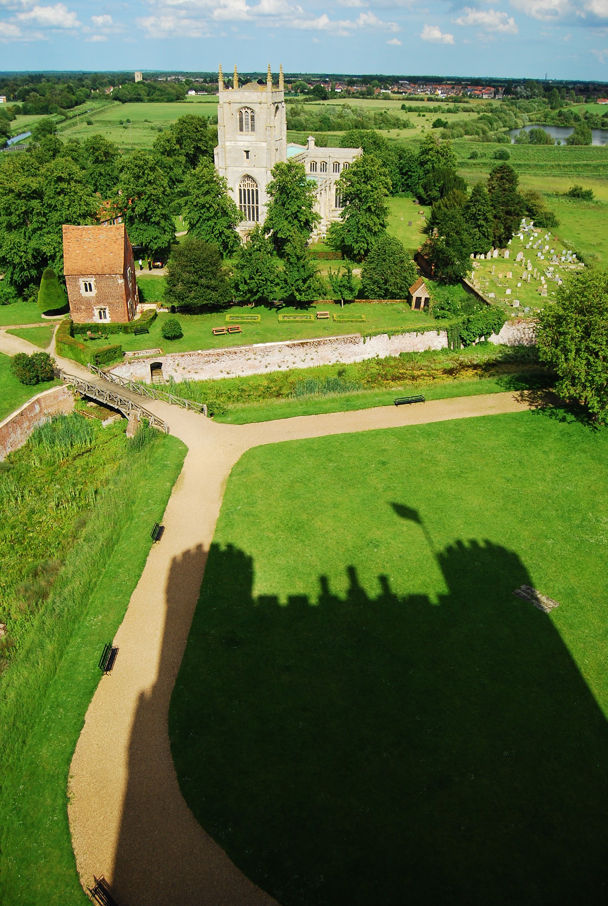
King of the Castle, Tattershall, Lincolnshire

Tattershall station (3), 1981
Topographic Map of Martin Dales, Woodhall Spa LN10, UK
Find elevation by address:

Places in Martin Dales, Woodhall Spa LN10, UK:
Places near Martin Dales, Woodhall Spa LN10, UK:
5 New Rd, Martin Dales, Woodhall Spa LN10 6XW, UK
6 Lansdown Way, Woodhall Spa LN10 6BD, UK
Woodhall Spa
3 Blankney Drove, Woodhall Spa LN10 6XH, UK
Timberland
Gardeners Cottage
69 High St
Ln4 3qy
Martin
Fen Road
Fen Road
Ln10 6yy
Timberland
Coningsby
39 Old Boston Rd, Coningsby, Lincoln LN4 4ST, UK
Kirkby On Bain
Woodside
2 Hungram Ln, Horncastle LN9 5RL, UK
Hungram Lane
32 Langrick Rd, Coningsby, Lincoln LN4 4RU, UK
Recent Searches:
- Elevation of Corso Fratelli Cairoli, 35, Macerata MC, Italy
- Elevation of Tallevast Rd, Sarasota, FL, USA
- Elevation of 4th St E, Sonoma, CA, USA
- Elevation of Black Hollow Rd, Pennsdale, PA, USA
- Elevation of Oakland Ave, Williamsport, PA, USA
- Elevation of Pedrógão Grande, Portugal
- Elevation of Klee Dr, Martinsburg, WV, USA
- Elevation of Via Roma, Pieranica CR, Italy
- Elevation of Tavkvetili Mountain, Georgia
- Elevation of Hartfords Bluff Cir, Mt Pleasant, SC, USA