Elevation of Martin Branch Rd, Mousie, KY, USA
Location: United States > Kentucky > Knott County > Mousie >
Longitude: -82.868166
Latitude: 37.3977041
Elevation: 275m / 902feet
Barometric Pressure: 98KPa
Elevation Map:
Satellite Map:
Related Photos:

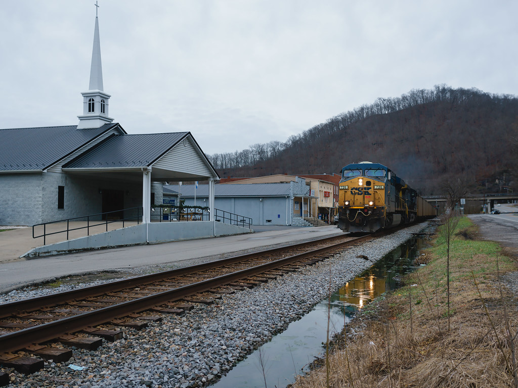
Cemetary Hill

kentucky.

BJ 20

West Fork Trestle

Rock Fork Old Regular Baptist Church

Chessie 3864 (EMD GP38)
the baptist

taking the high road

on the E&BV

Center for Story Based Strategy training Hindman 5/3-5/4. Taken by Jacob Mack-Boll. Members who might be in photos: Mimi Pickering, Ivy Brashear, tommy Anderson, Nikita Perumal, Cara Cooper, Dee Davis, Lakin Dillingham, Allison Crawford.

Wayland, Kentucky

Spring on the E&BV

Not Skold Picture
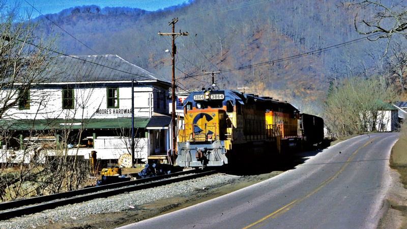
Chessie 3864 (GP38)

Wayland High School

Hindman, Kentucky United Methodist Women Opening Umbrellas to intercept human traffickers.
Topographic Map of Martin Branch Rd, Mousie, KY, USA
Find elevation by address:

Places near Martin Branch Rd, Mousie, KY, USA:
Mousie
KY-, Mousie, KY, USA
Pippa Passes
Spruce Pine Rd, Pippa Passes, KY, USA
KY-, Mousie, KY, USA
Topmost
338 Potato Branch Rd
KY-7, Kite, KY, USA
Leburn
E Main St, Leburn, KY, USA
587 Possum Trot Rd
Kite
245 Butcher Knife Hollow Rd
KY-, Hindman, KY, USA
KY-, Pine Top, KY, USA
KY-, Hi Hat, KY, USA
Pine Top
KY-, Pine Top, KY, USA
Mallie
KY-, Hi Hat, KY, USA
Recent Searches:
- Elevation of Corso Fratelli Cairoli, 35, Macerata MC, Italy
- Elevation of Tallevast Rd, Sarasota, FL, USA
- Elevation of 4th St E, Sonoma, CA, USA
- Elevation of Black Hollow Rd, Pennsdale, PA, USA
- Elevation of Oakland Ave, Williamsport, PA, USA
- Elevation of Pedrógão Grande, Portugal
- Elevation of Klee Dr, Martinsburg, WV, USA
- Elevation of Via Roma, Pieranica CR, Italy
- Elevation of Tavkvetili Mountain, Georgia
- Elevation of Hartfords Bluff Cir, Mt Pleasant, SC, USA