Elevation map of Marshall Islands
Longitude: 171.184478
Latitude: 7.131474
Elevation: -19m / -62feet
Barometric Pressure: 102KPa
Elevation Map:
Satellite Map:
Related Photos:

Cathedral View
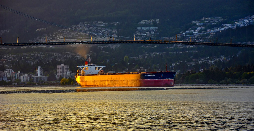
Golden Crown

Long Island

Marshall Point Lighthouse

New York City

South Manhatten from the Staten Island Ferry

Marshall Brook

SD EVA sold out of MoD service

Bishops Island Kilkee Co Clare Ireland

There are no passengers on spaceship earth. We are all crew...

Stargazing From the International Space Station

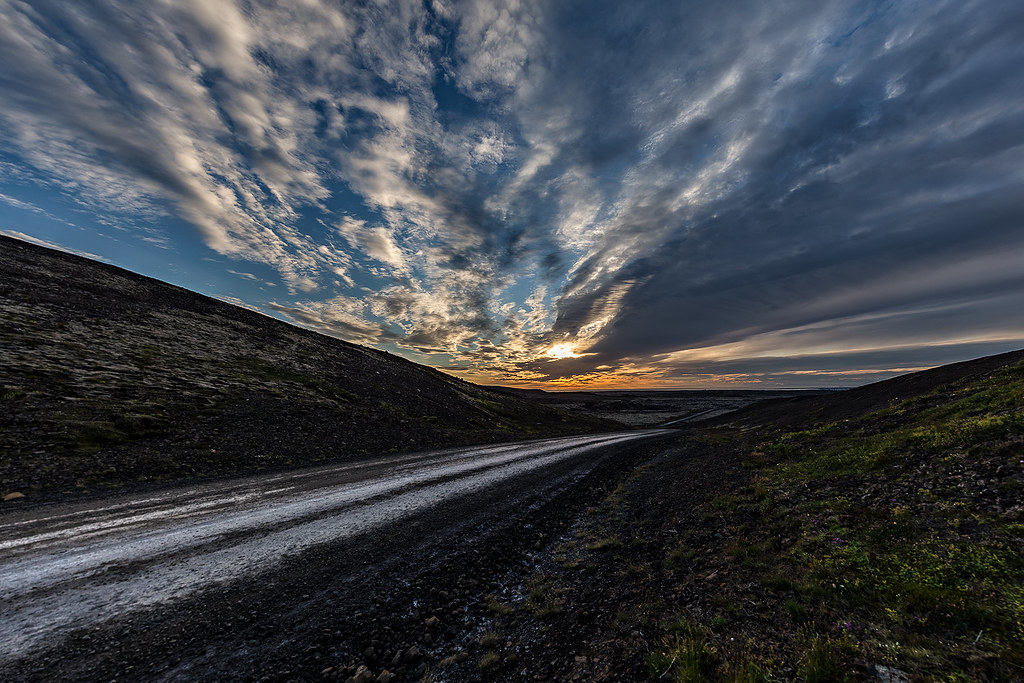
Day 228 // On The Road {Explored January 1, 2012}

YASA UNSAL SUNAR : IMO 9396206

Acadia National Park

Newport Beach Sunrise

GLORYCROWN > IMO 9408190

The Galápagos Islands

Earth Observatory: Mount Agung Continues to Erupt

Breach Inlet

KD's World Tour: That's it!

Monsoon clouds over San Francisco

Looking across to Marshall Bay and Mount Tanner on Flinders Island

Green Island Sunset

Marshall Brook - Sunset - Bass Harbor, Maine

Hazy Harbour

Lone Tree - R Y D A L L A K E
Hazy SENTOSA (1/3)
GH Rough Habit

Marshall Brook
Sand Street {Explored July 3rd, 2016}
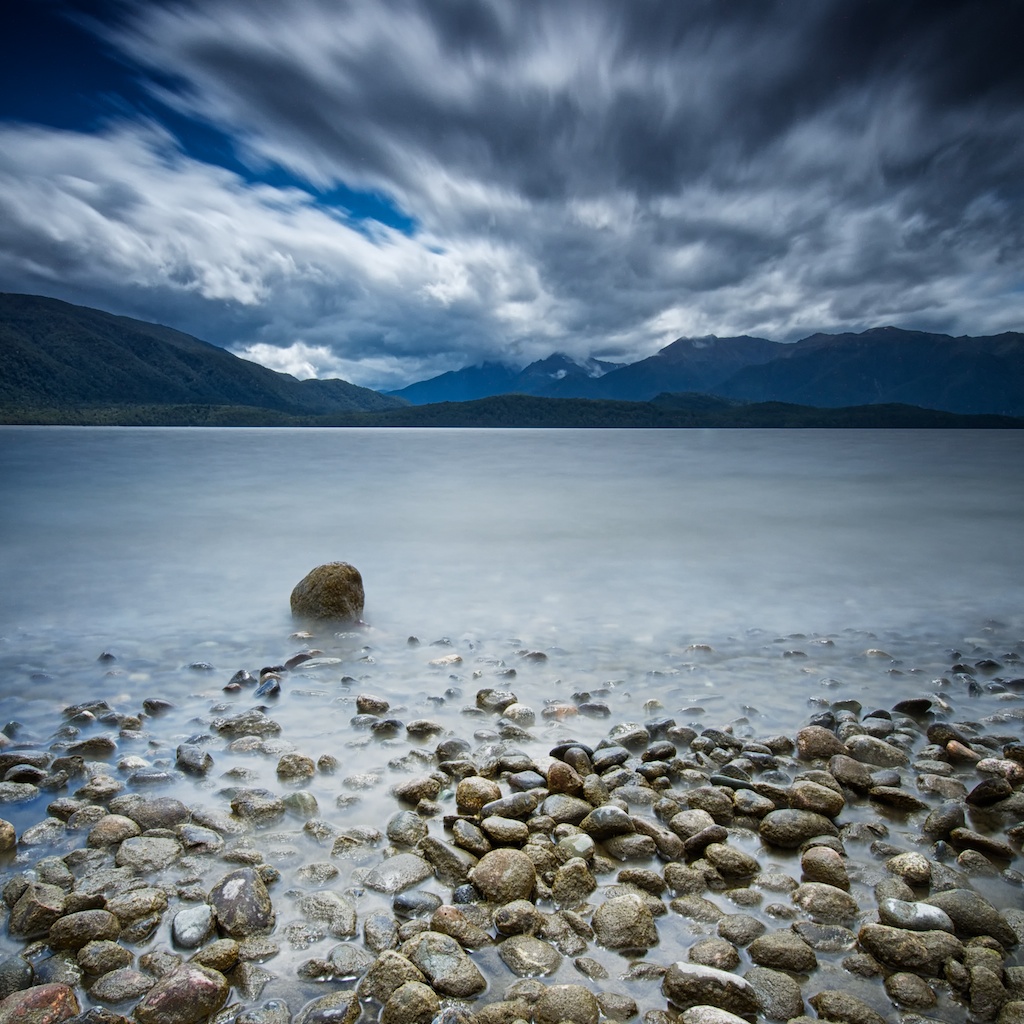
Day 272 // Windy Te Anau {Explored January 9, 2012}

NASA Shows New Tongan Island Made of Tuff Stuff, Likely to Persist Years

The Caribbean Islands of Puerto Rico, Cuba, Haiti and the Dominican Republic
Iceland - Last picture for this series

Rift on Pine Island Glacier

A Montana Legend

Puerto Rico From the Space Station
Topographic Map of Marshall Islands
Find elevation by address:

Places in Marshall Islands:
Places near Marshall Islands:
Recent Searches:
- Elevation of Corso Fratelli Cairoli, 35, Macerata MC, Italy
- Elevation of Tallevast Rd, Sarasota, FL, USA
- Elevation of 4th St E, Sonoma, CA, USA
- Elevation of Black Hollow Rd, Pennsdale, PA, USA
- Elevation of Oakland Ave, Williamsport, PA, USA
- Elevation of Pedrógão Grande, Portugal
- Elevation of Klee Dr, Martinsburg, WV, USA
- Elevation of Via Roma, Pieranica CR, Italy
- Elevation of Tavkvetili Mountain, Georgia
- Elevation of Hartfords Bluff Cir, Mt Pleasant, SC, USA