Elevation of Majuro, Majuro Atoll, RMI
Location: Marshall Islands > Majuro Atoll >
Longitude: 171.185773
Latitude: 7.1164214
Elevation: -3m / -10feet
Barometric Pressure: 101KPa
Elevation Map:
Satellite Map:
Related Photos:

Happy Thanksgiving from paradise!
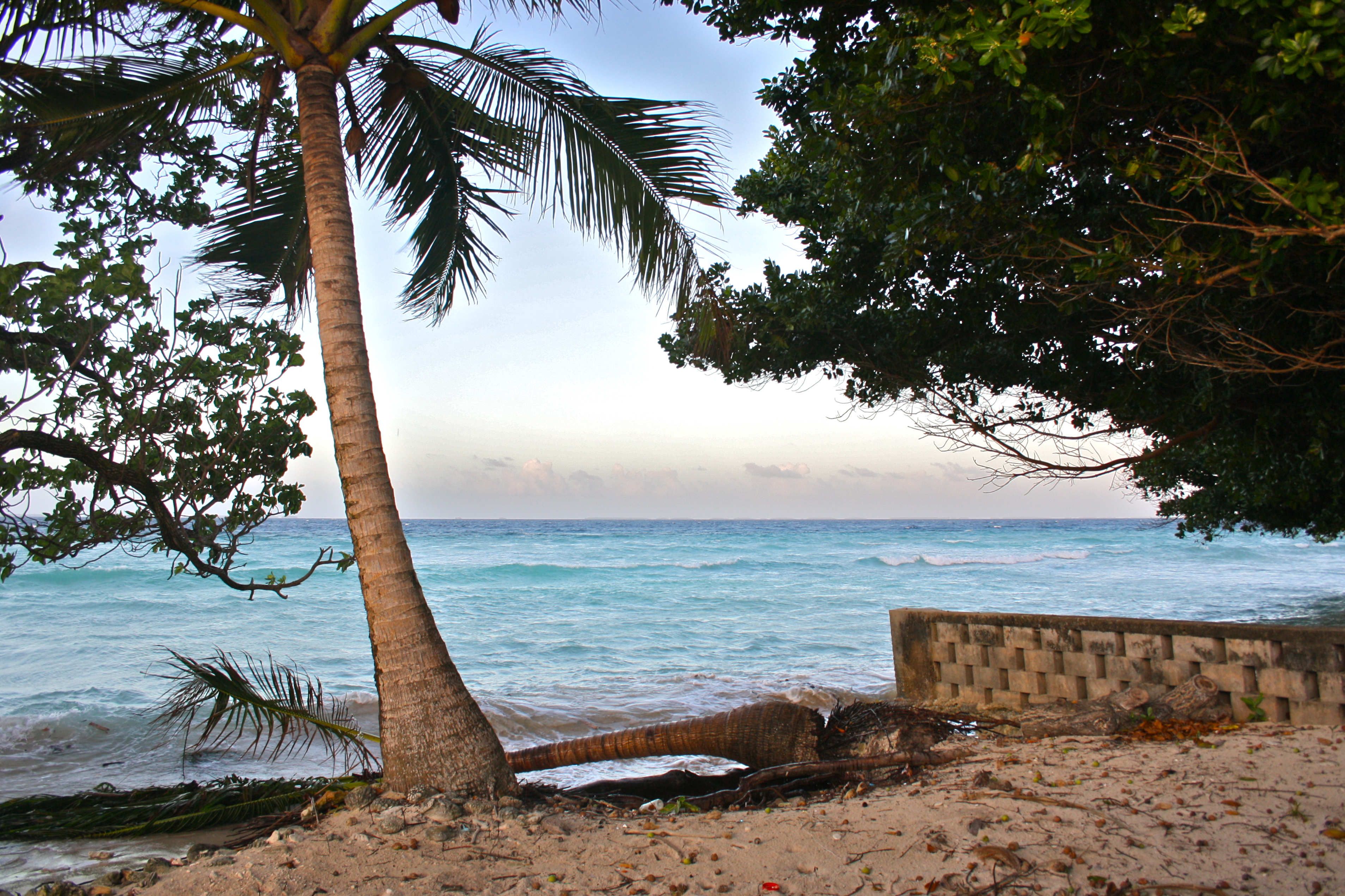
Aftermath of king tides.

genesis earthling.
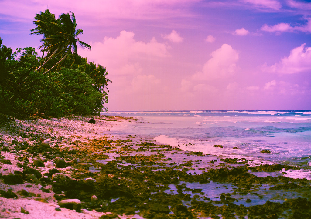
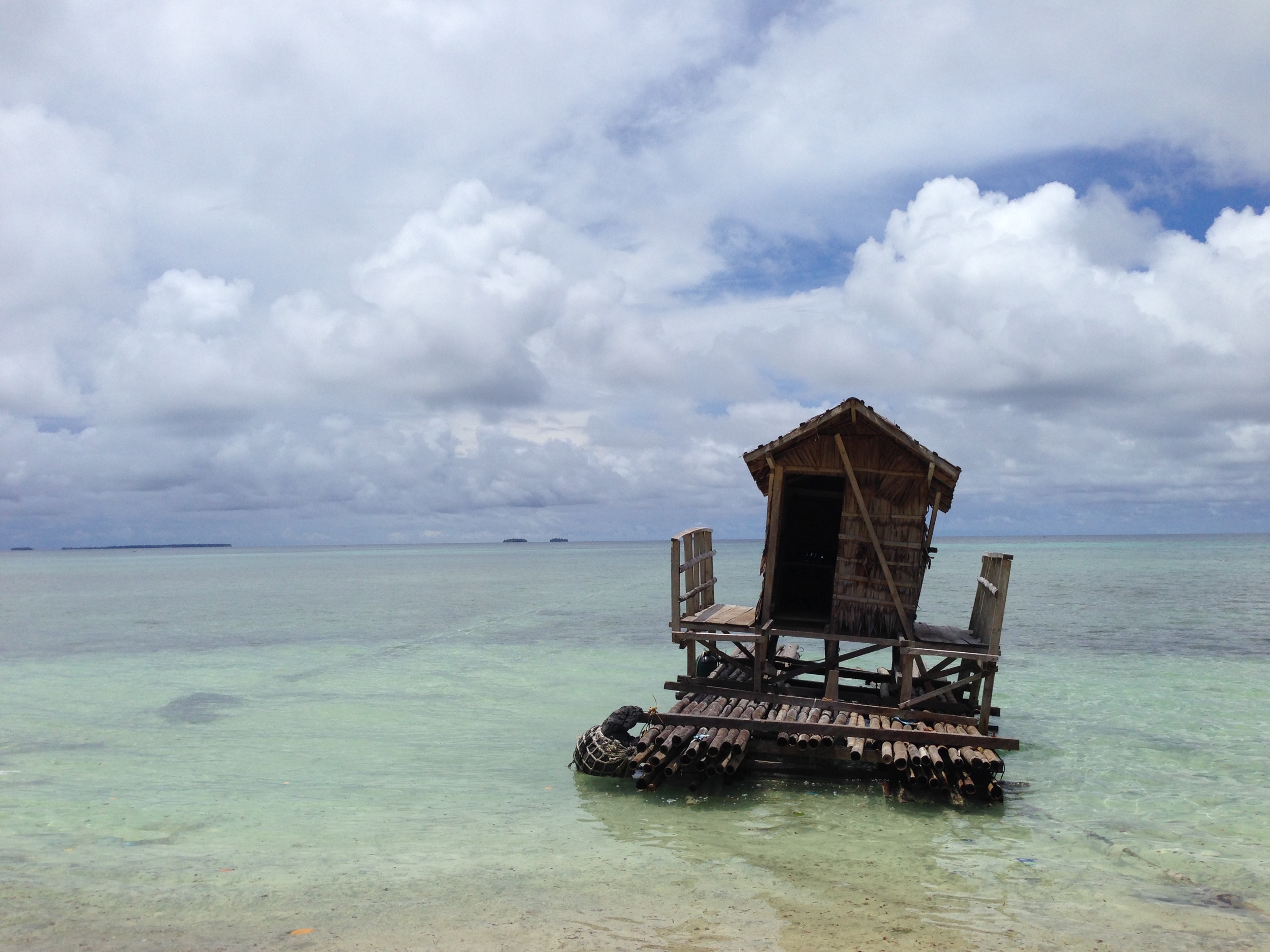
Mythical Beach
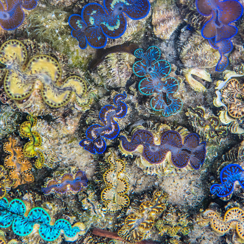
Baby Giant Clams
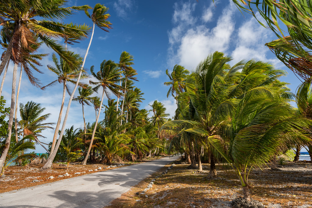
Bounded by Sea
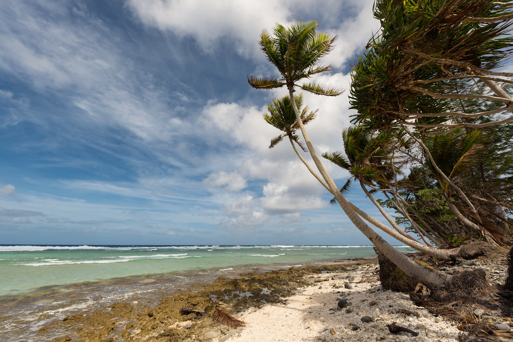
Seaside Beach
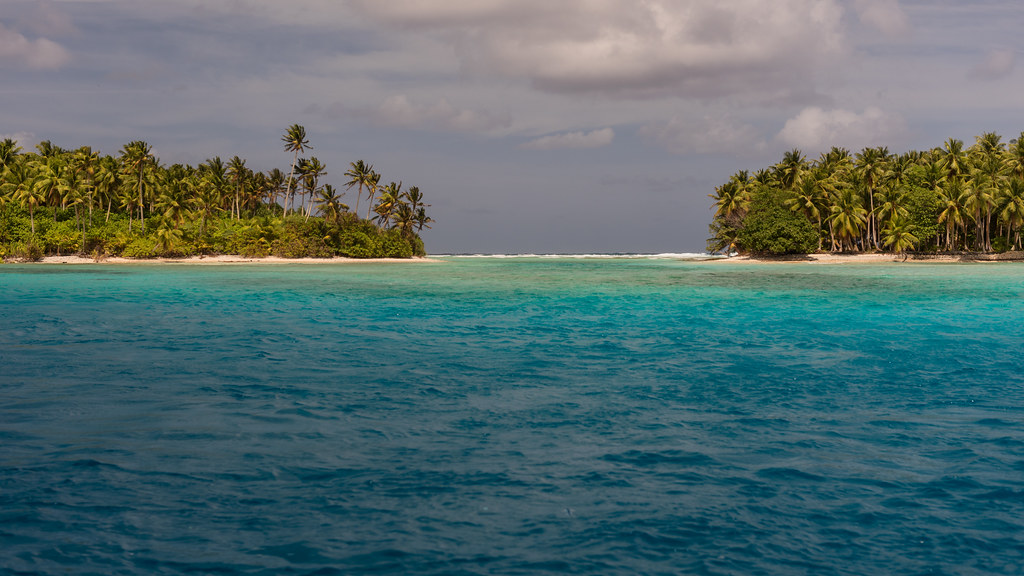
Majuro Atoll Channel
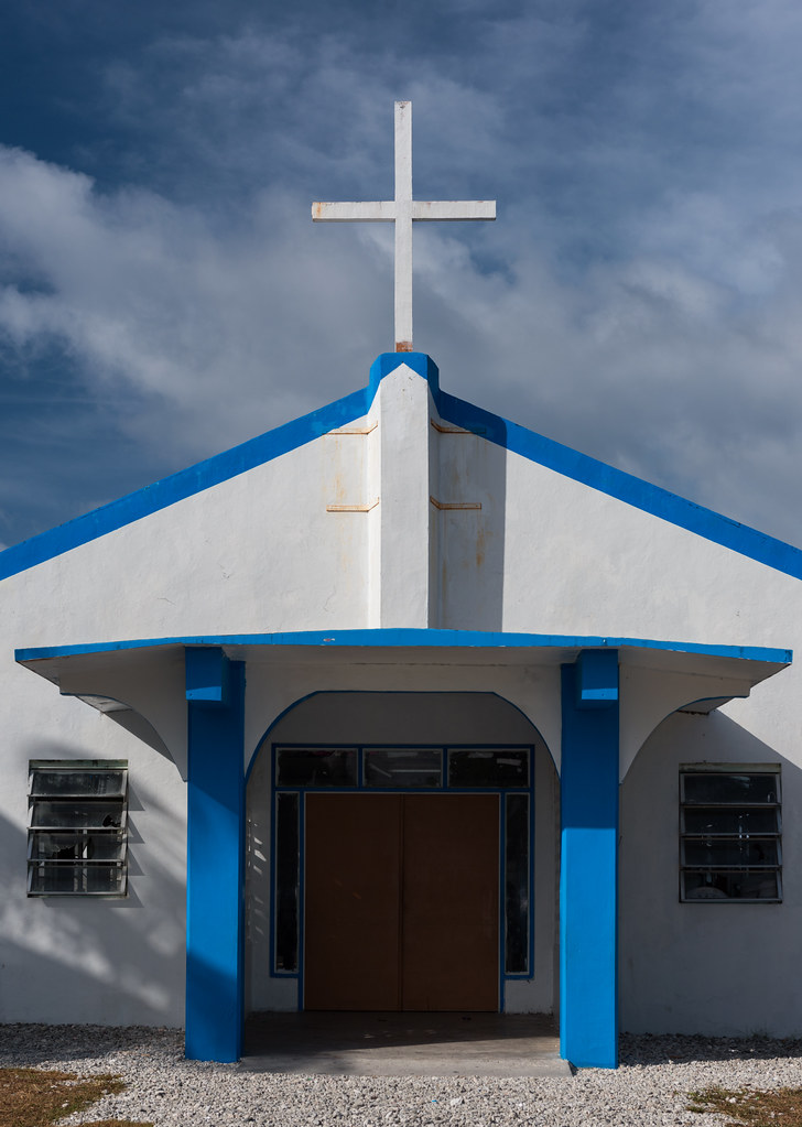
Majuro Church 2
Majuro, Marshall Islands

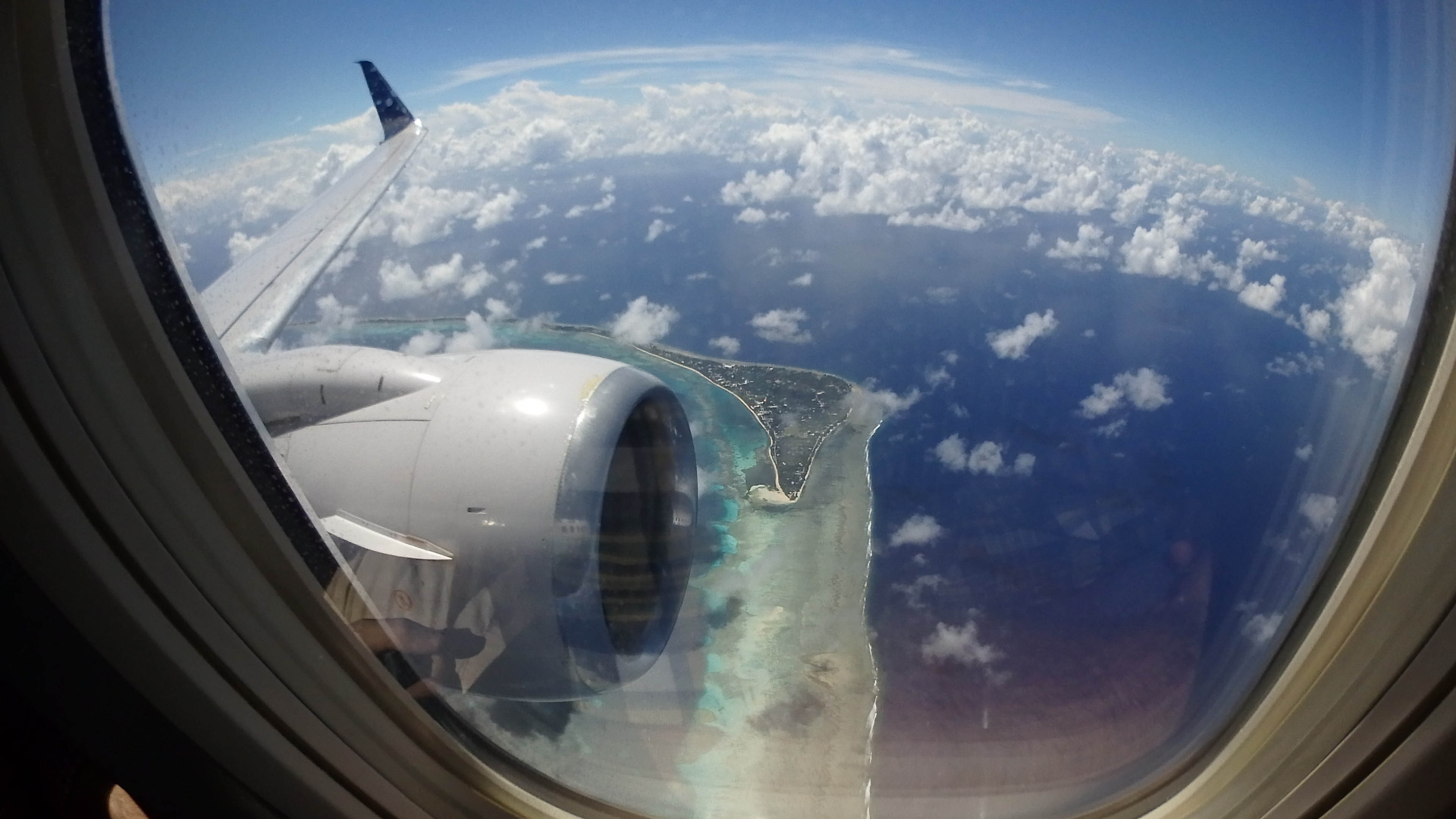
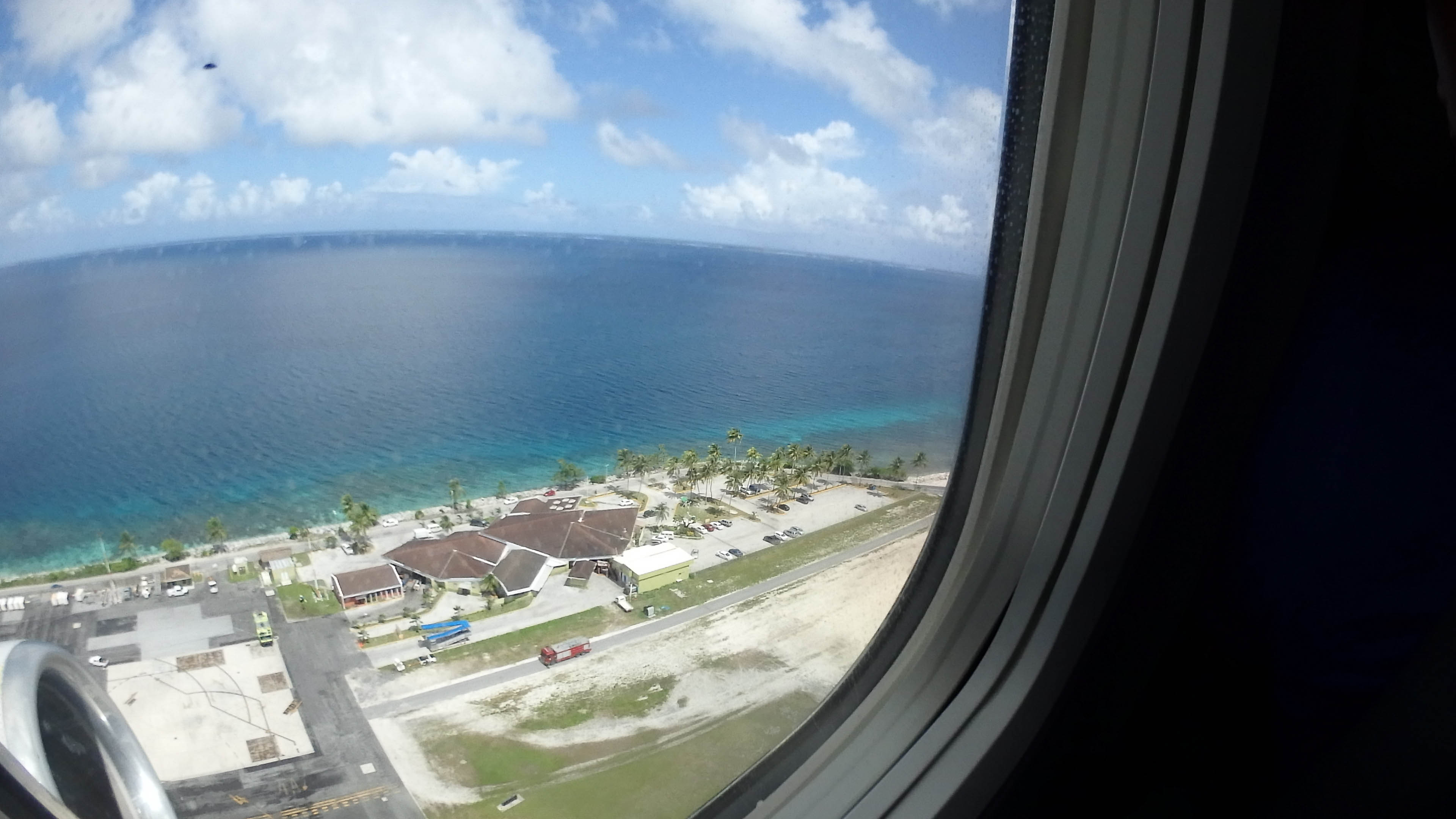
Landing at MAJ

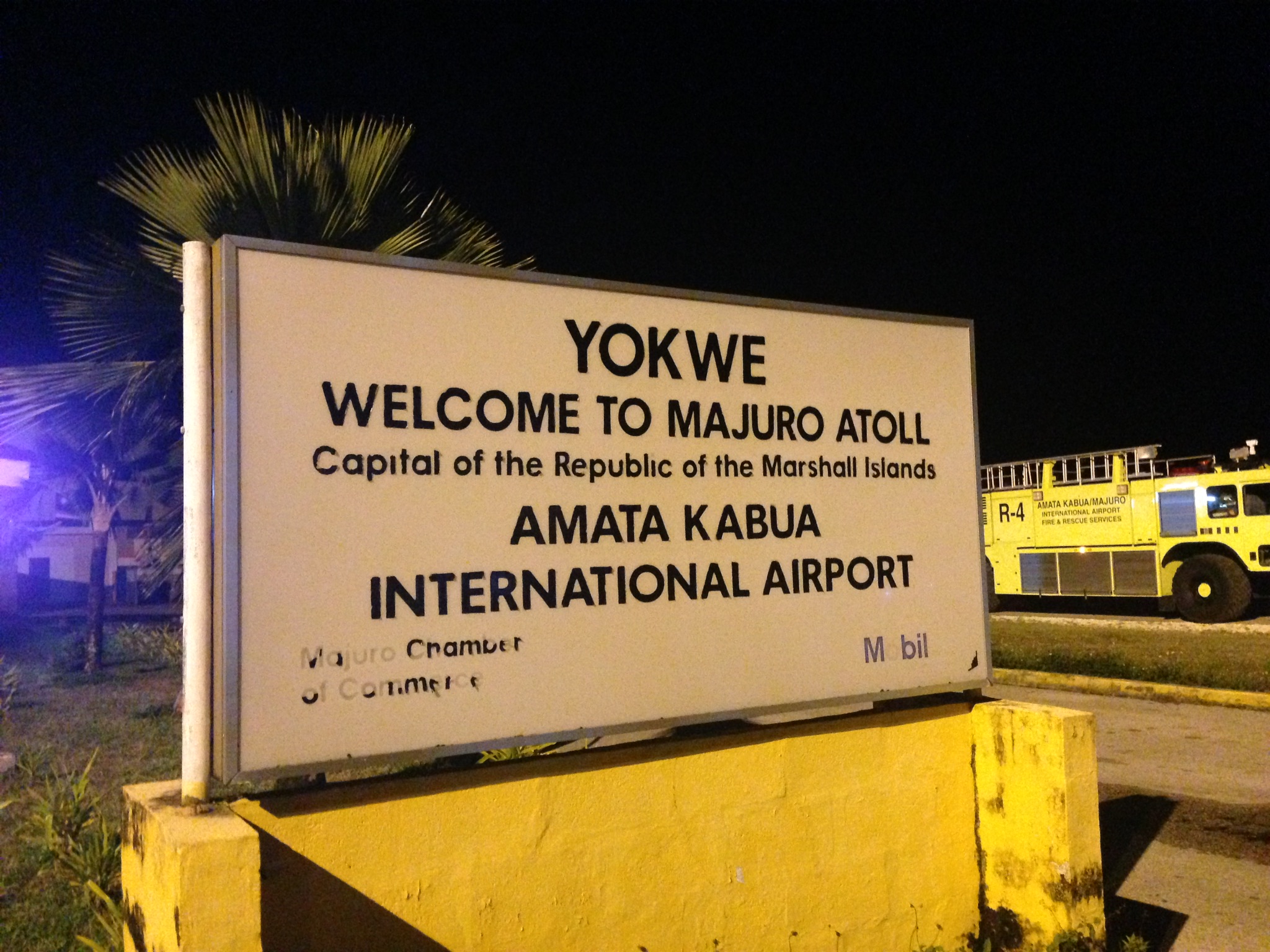
Majuro Airport
All Photos-3948
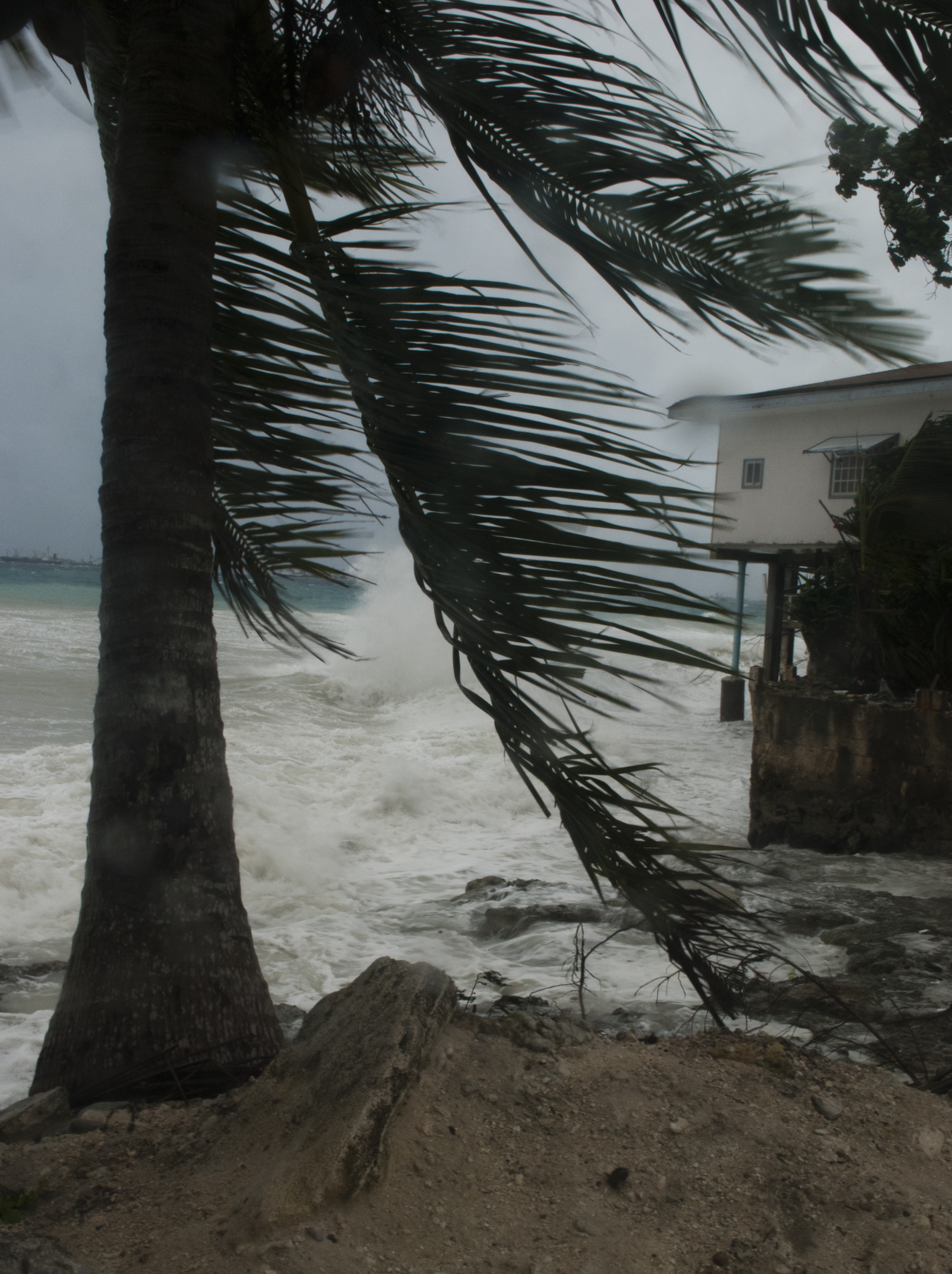
Majuro Storm 5
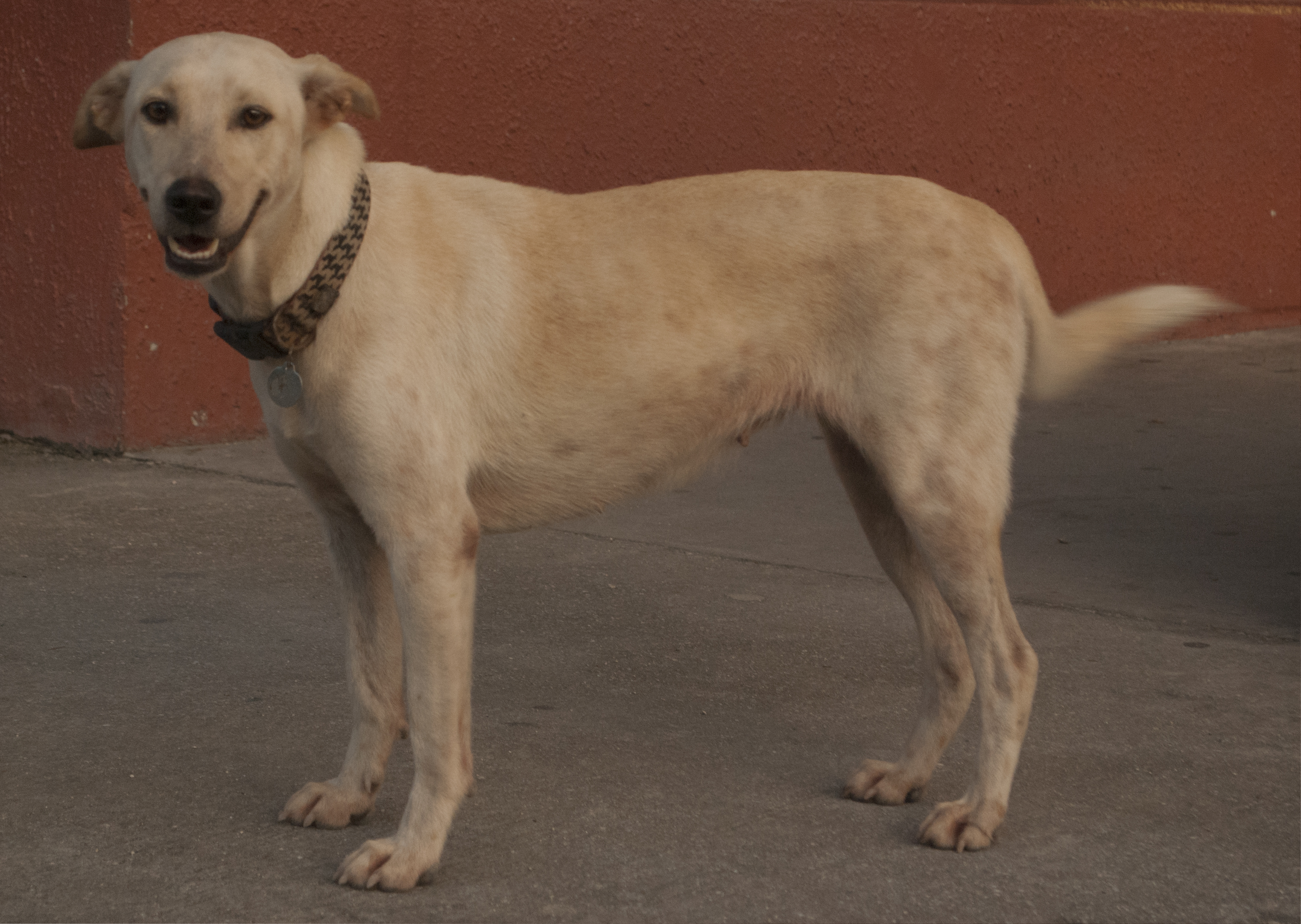
Dog in front of K&K

siesta.
Marshall Islands
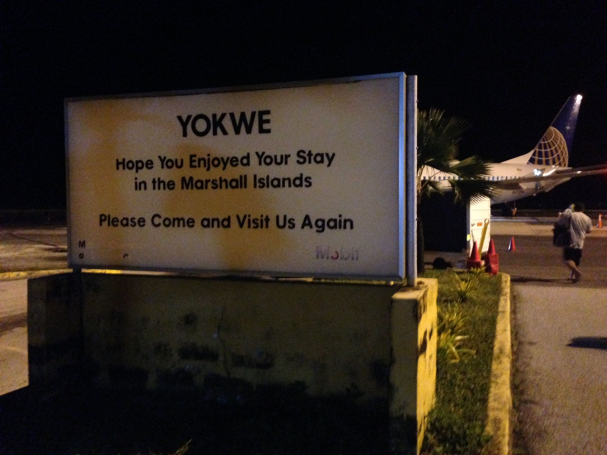
Takeoff at MAJ
Takeoff at MAJ
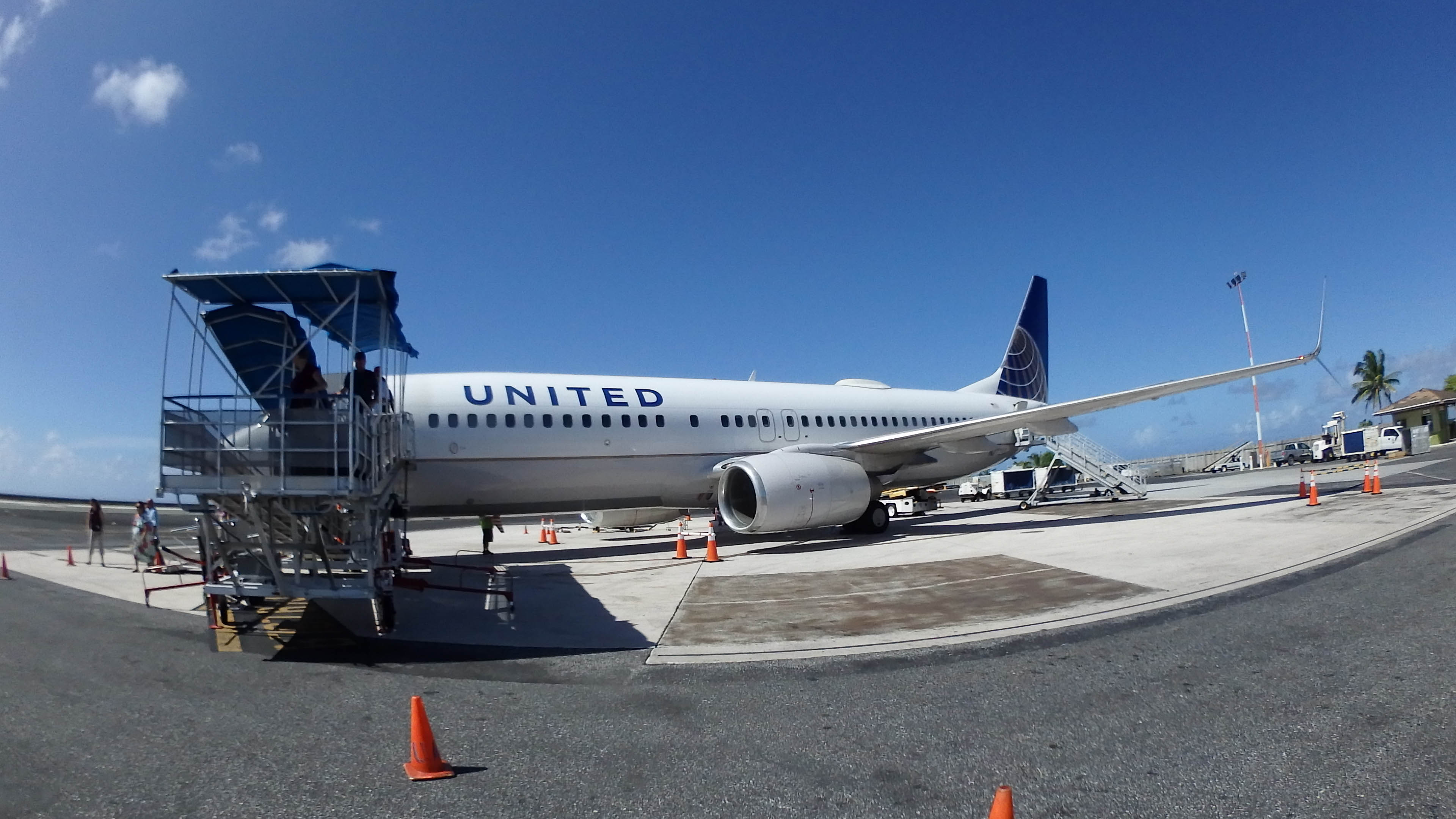
UA 154
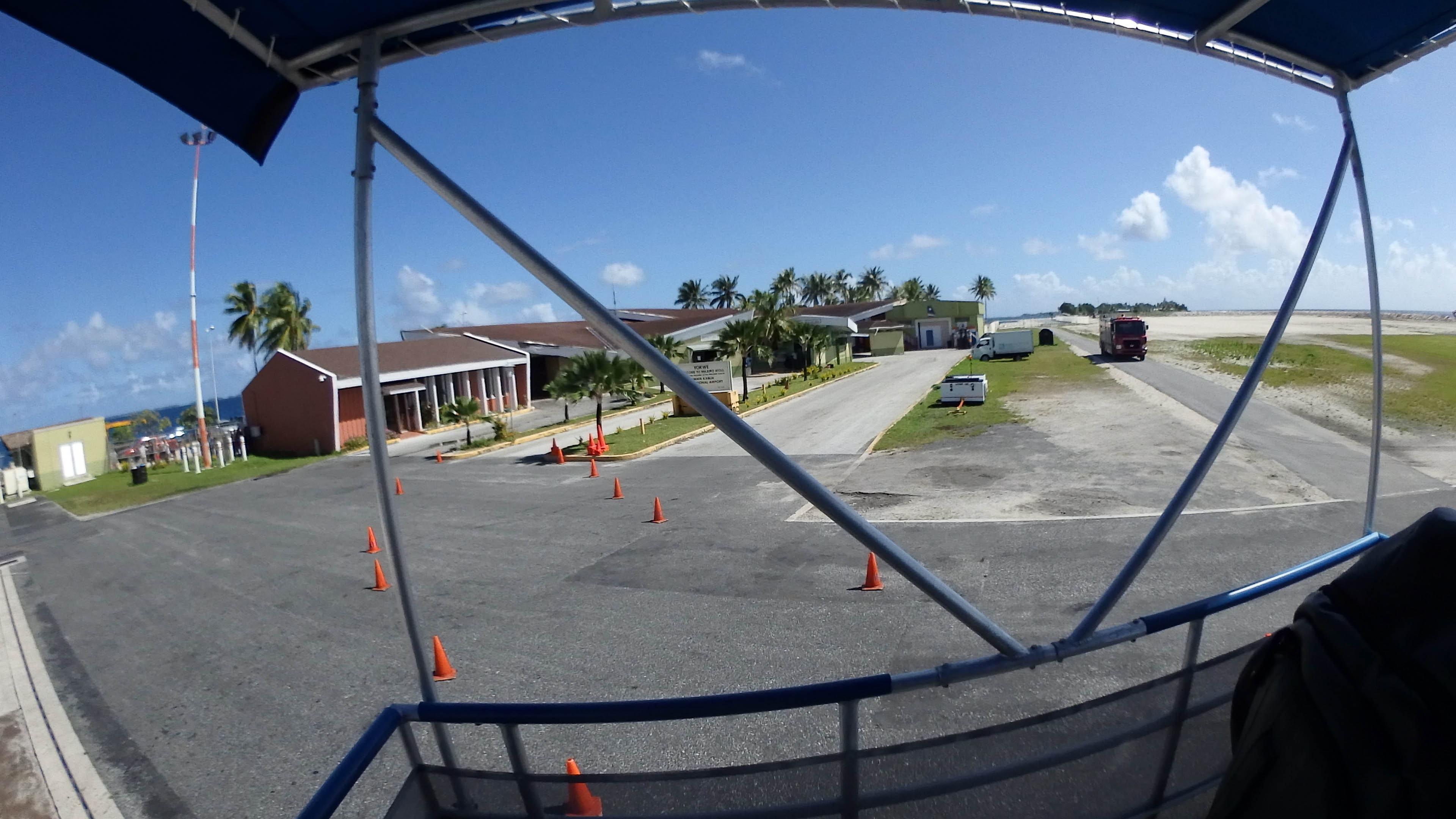
Deplaning from UA154
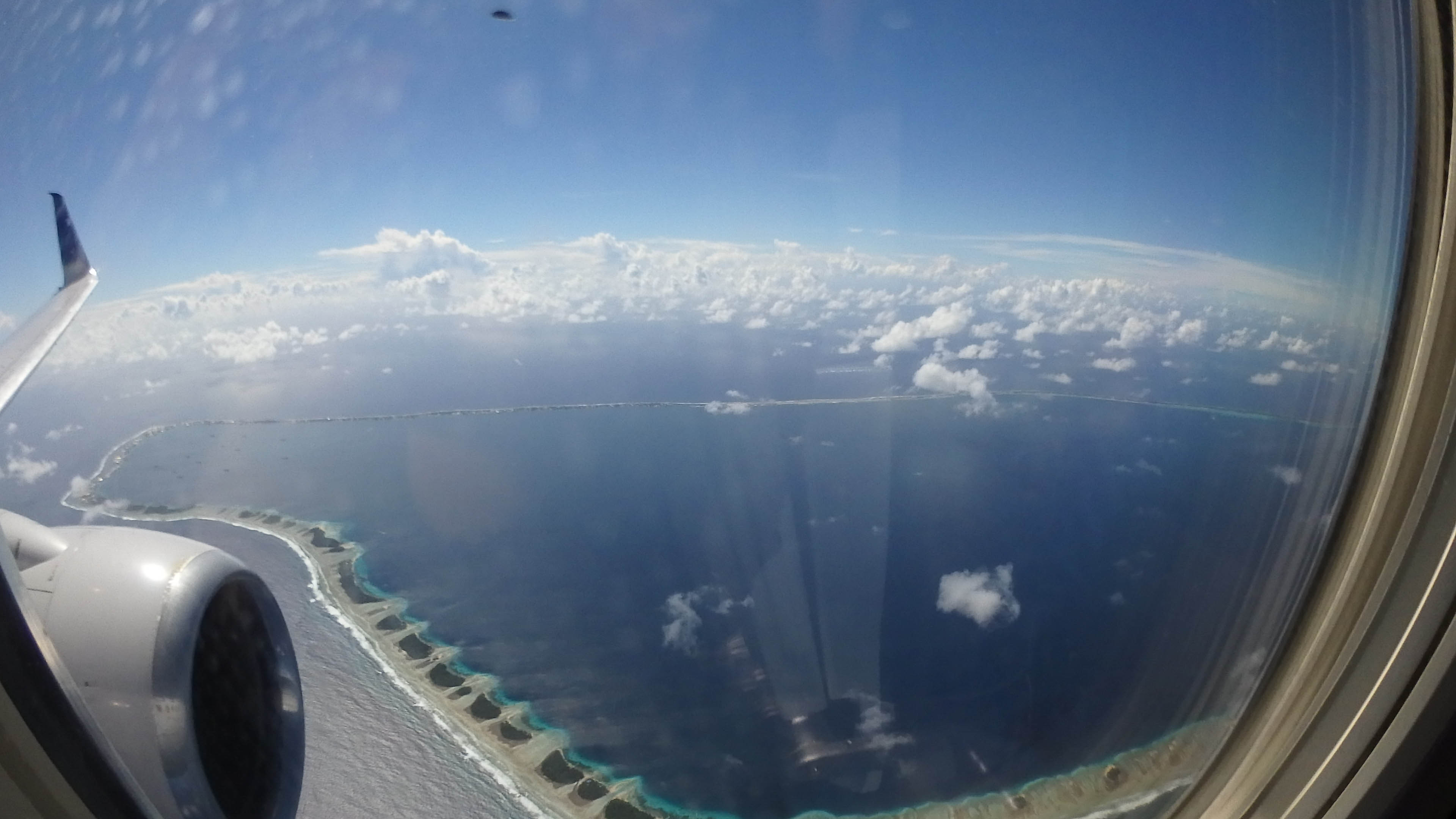
Landing at MAJ

Giant Clam Pattern
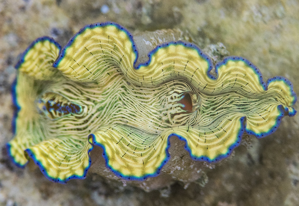
Baby Giant Clam
Topographic Map of Majuro, Majuro Atoll, RMI
Find elevation by address:

Places near Majuro, Majuro Atoll, RMI:
Recent Searches:
- Elevation of Corso Fratelli Cairoli, 35, Macerata MC, Italy
- Elevation of Tallevast Rd, Sarasota, FL, USA
- Elevation of 4th St E, Sonoma, CA, USA
- Elevation of Black Hollow Rd, Pennsdale, PA, USA
- Elevation of Oakland Ave, Williamsport, PA, USA
- Elevation of Pedrógão Grande, Portugal
- Elevation of Klee Dr, Martinsburg, WV, USA
- Elevation of Via Roma, Pieranica CR, Italy
- Elevation of Tavkvetili Mountain, Georgia
- Elevation of Hartfords Bluff Cir, Mt Pleasant, SC, USA