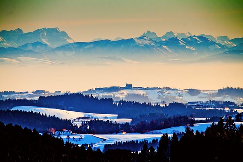
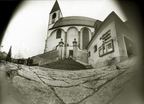
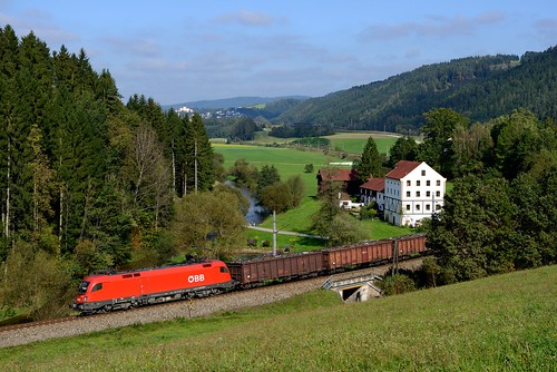
Elevation of Markersreith, Austria
Location: Austria > Upper Austria > Freistadt District > Kaltenberg >
Longitude: 14.75208
Latitude: 48.45748
Elevation: 672m / 2205feet
Barometric Pressure: 94KPa
Related Photos:
Topographic Map of Markersreith, Austria
Find elevation by address:

Places in Markersreith, Austria:
Places near Markersreith, Austria:
Markersreith 2, Markersreith, Austria
Weitersfelden
Straßreit 2, Straßreit, Austria
Straßreit
Hinterhütten 1, Hinterhütten, Austria
Pierbach
Lehen 86, Lehen, Austria
Gartenstraße 1, Gutau, Austria
Gutau
Gemeinde Gutau
Wippl 5, Wippl, Austria
Oberreitern 3, Oberreitern, Austria
Sankt Oswald Bei Freistadt
Pregarten
Freistadt District
Freistadt
Wartberg Ob Der Aist
Schloß Haus 1, Schloss Haus, Austria
Loibersdorf 9, Loibersdorf, Austria
Güterweg Schwandtendorf 1, Schwandtendorf, Austria
Recent Searches:
- Elevation of Corso Fratelli Cairoli, 35, Macerata MC, Italy
- Elevation of Tallevast Rd, Sarasota, FL, USA
- Elevation of 4th St E, Sonoma, CA, USA
- Elevation of Black Hollow Rd, Pennsdale, PA, USA
- Elevation of Oakland Ave, Williamsport, PA, USA
- Elevation of Pedrógão Grande, Portugal
- Elevation of Klee Dr, Martinsburg, WV, USA
- Elevation of Via Roma, Pieranica CR, Italy
- Elevation of Tavkvetili Mountain, Georgia
- Elevation of Hartfords Bluff Cir, Mt Pleasant, SC, USA
