Elevation of Markersreith 2, Markersreith, Austria
Location: Austria > Upper Austria > Freistadt District > Kaltenberg > Markersreith >
Longitude: 14.757926
Latitude: 48.4569445
Elevation: 713m / 2339feet
Barometric Pressure: 93KPa
Elevation Map:
Satellite Map:
Related Photos:
IMG_1454 - IMG_1461
IMG_1510 - IMG_1515_fused
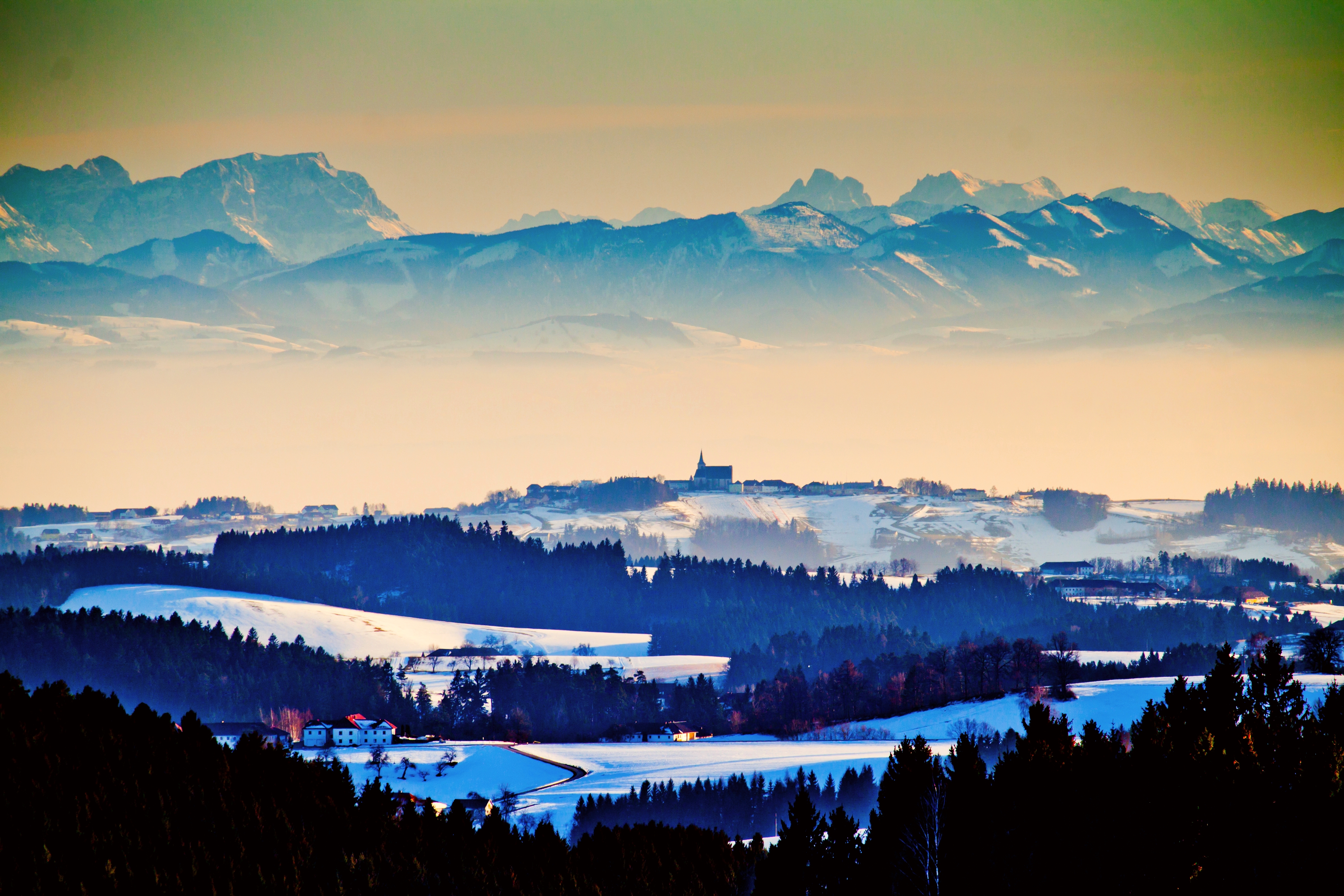
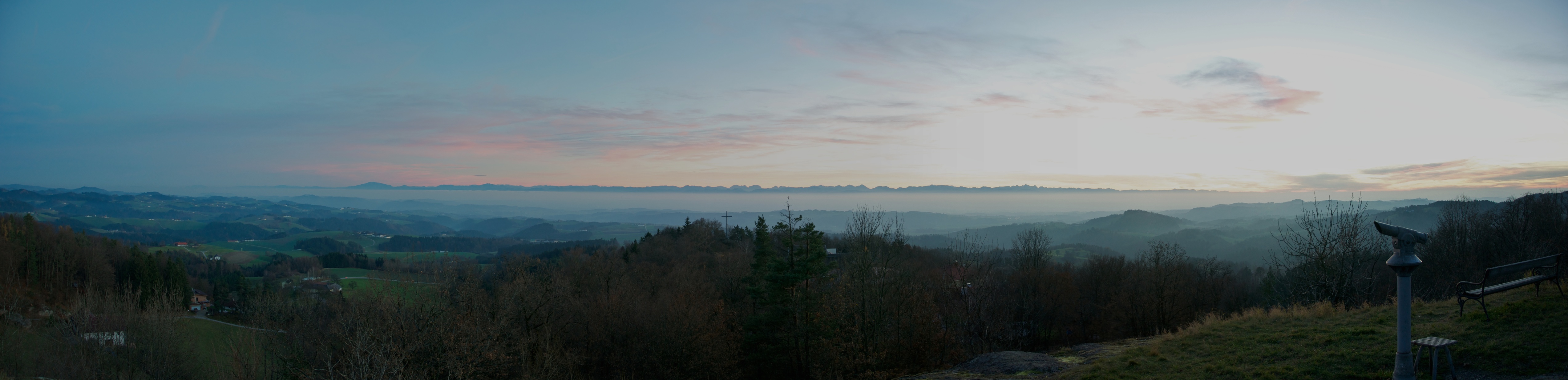
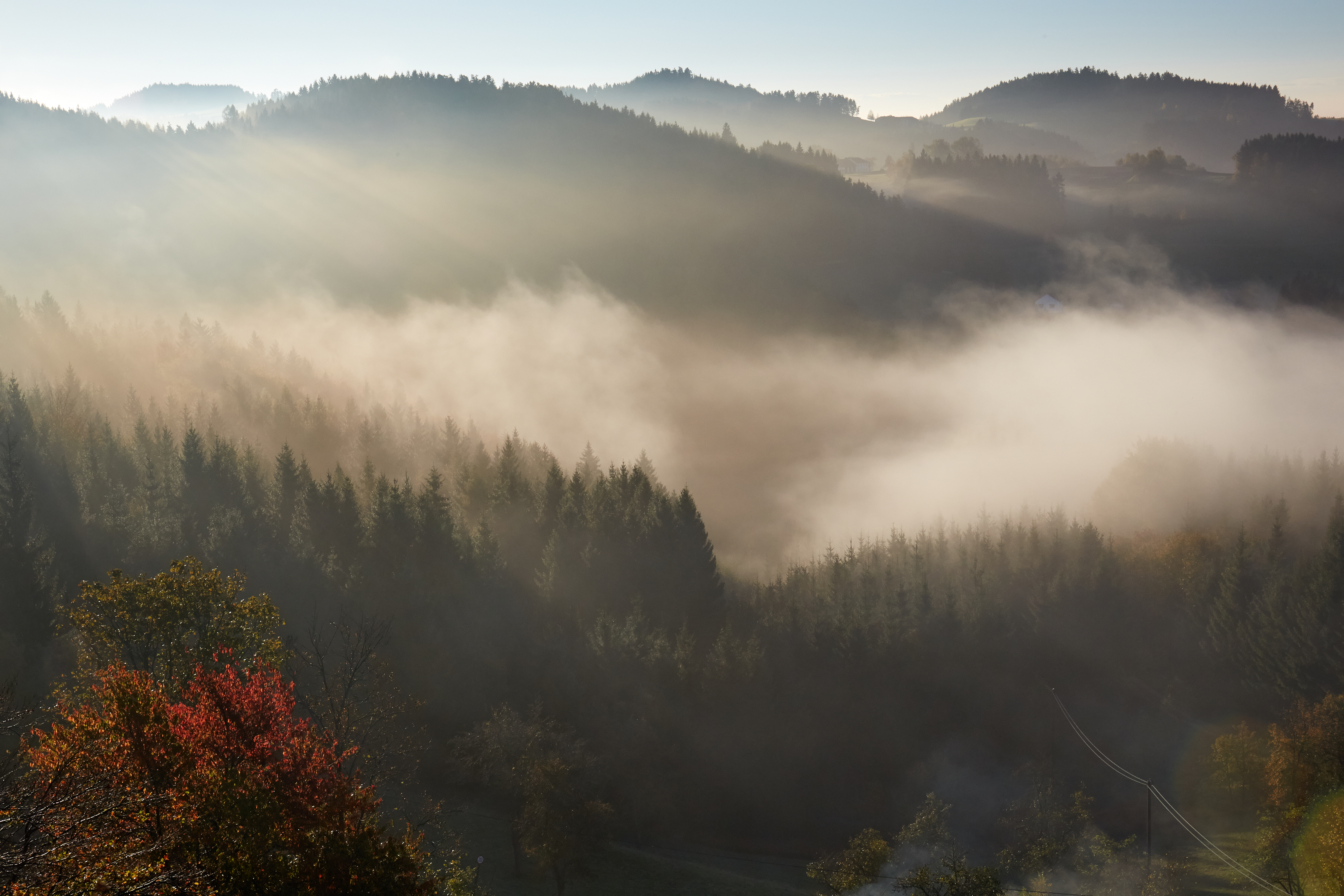
pilgrimage church Allerheiligen and 60 km fog to the alps
French tourists sitting in the door of the church in Kefermarkt after visiting the world famous altar and the coffee can watches them on this Sunday in August 2005 at 15.50 for 20 seconds
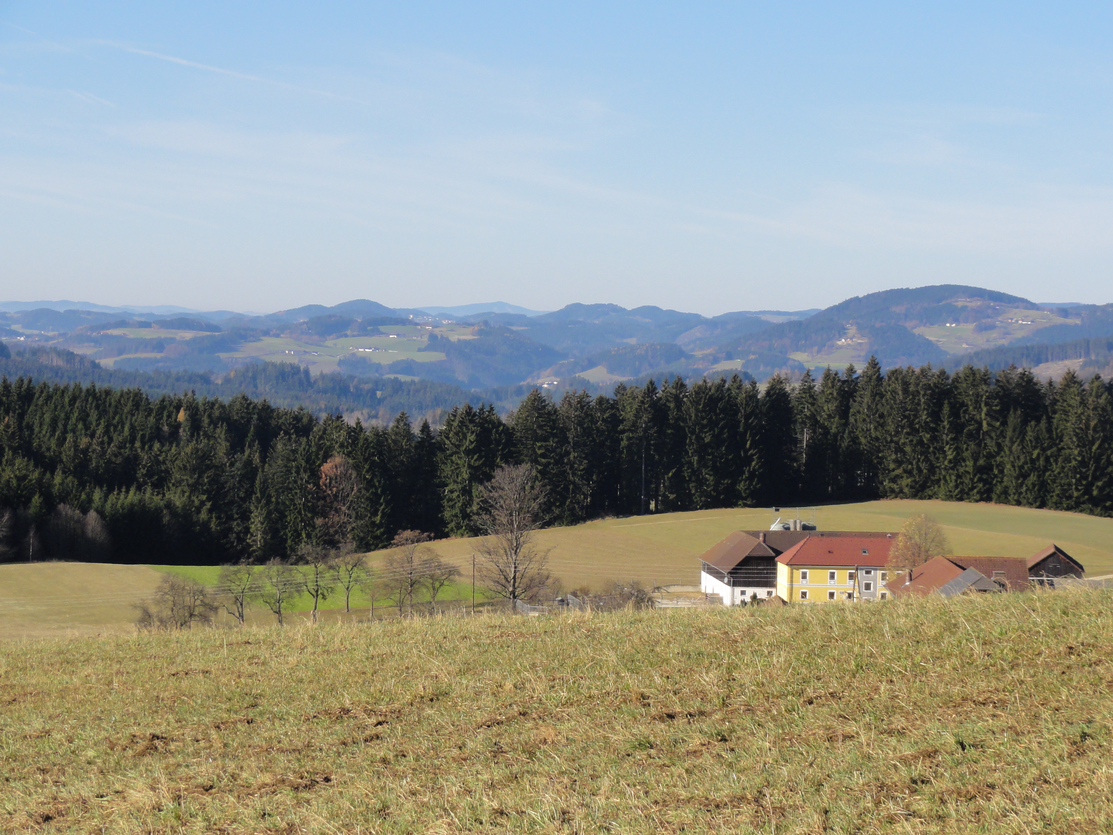
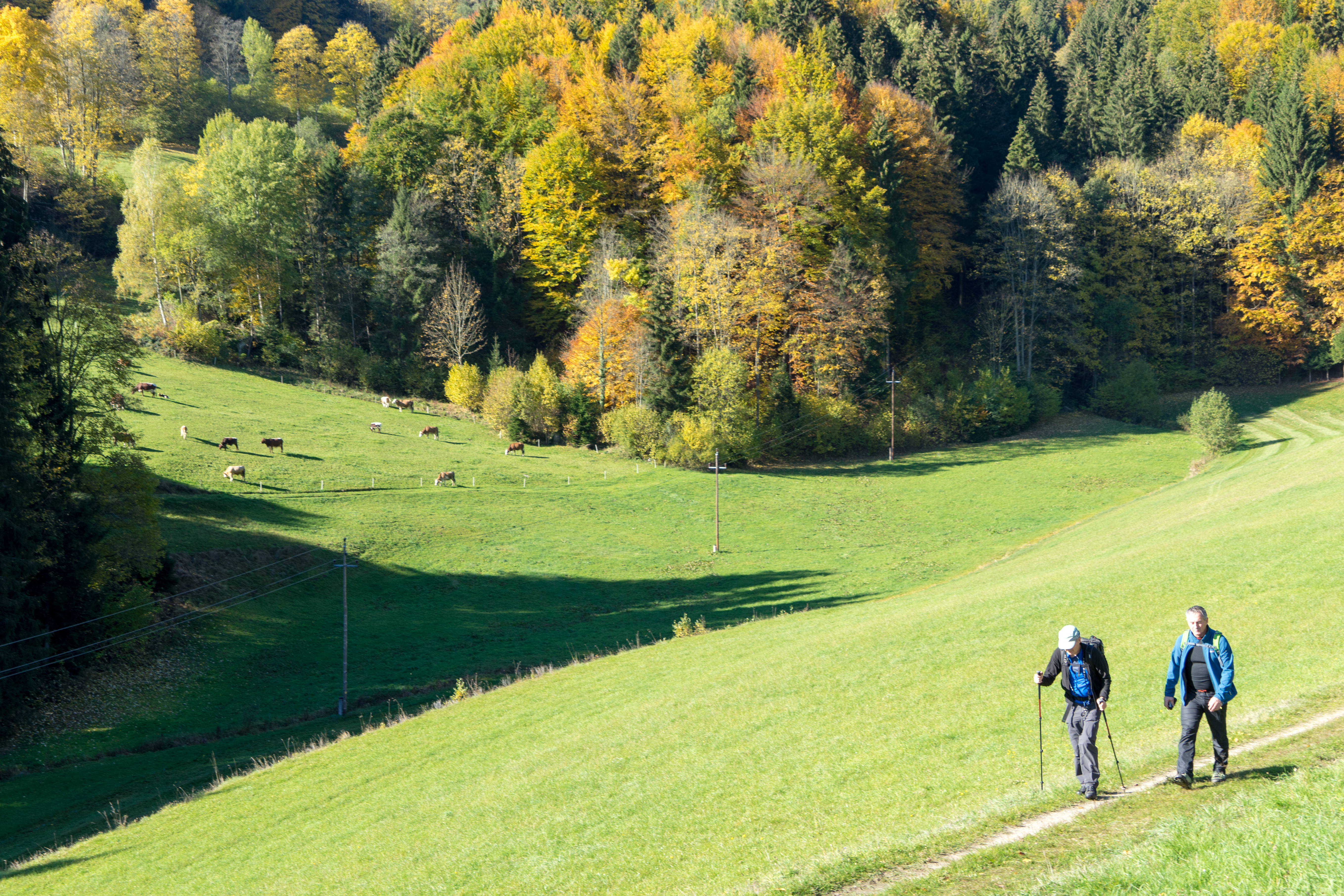
great view in Upper Austria
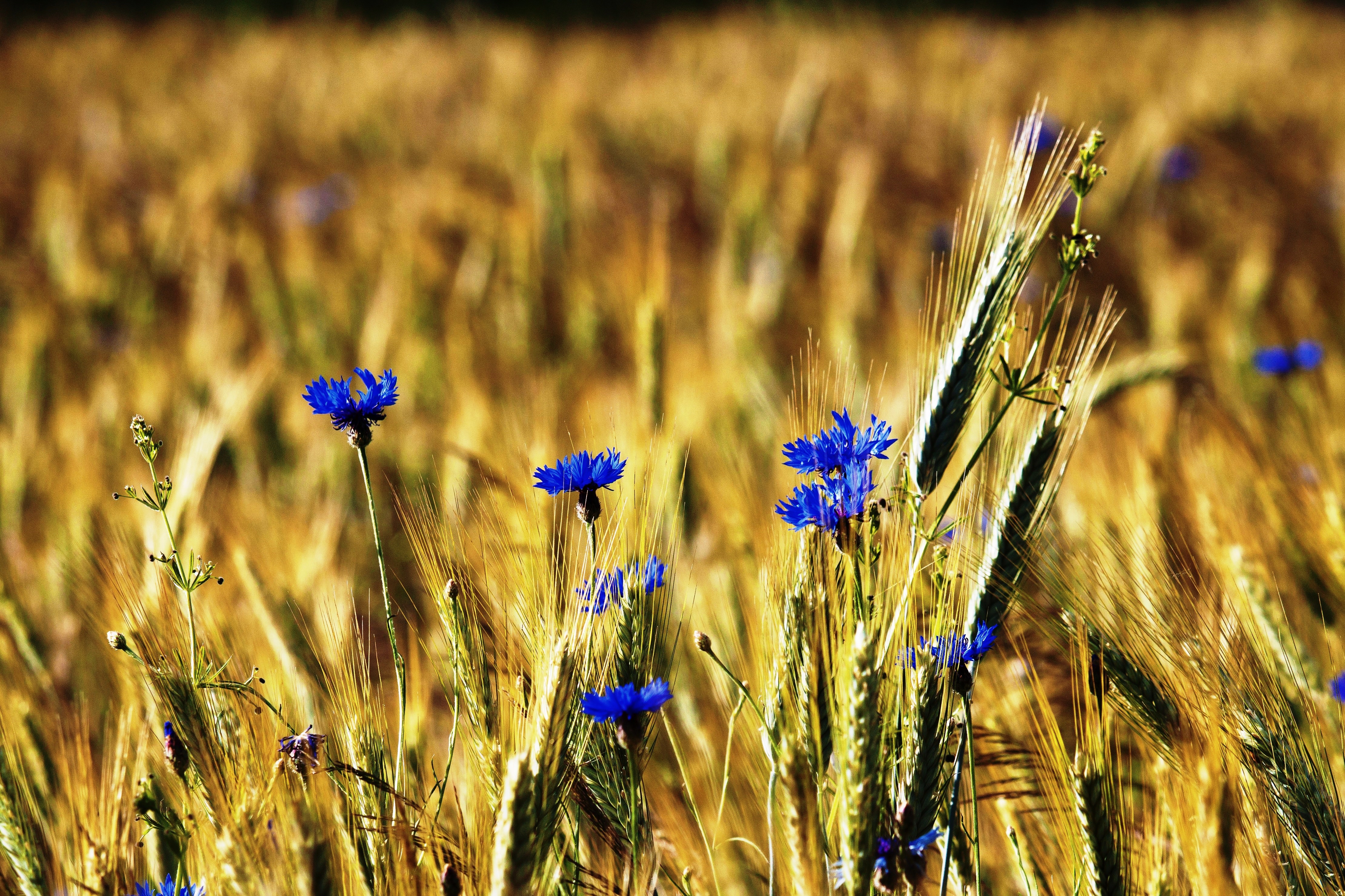
Kornblumen - nähe Braunberg St. Oswald - upper Austria
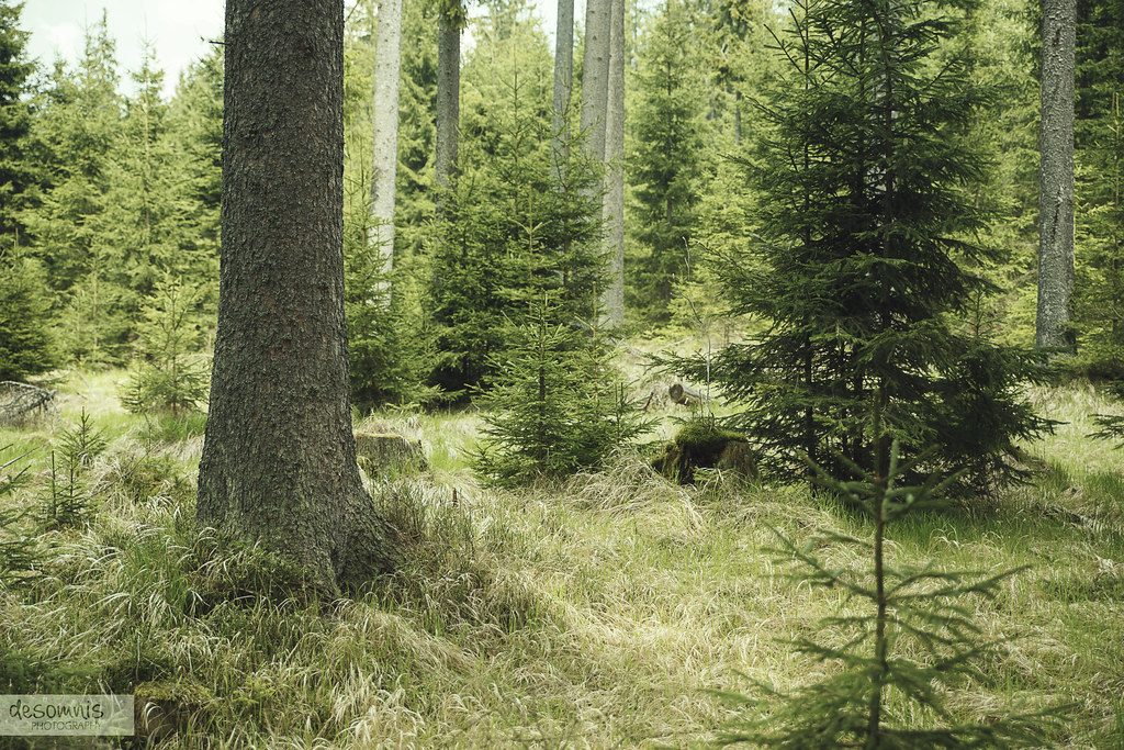
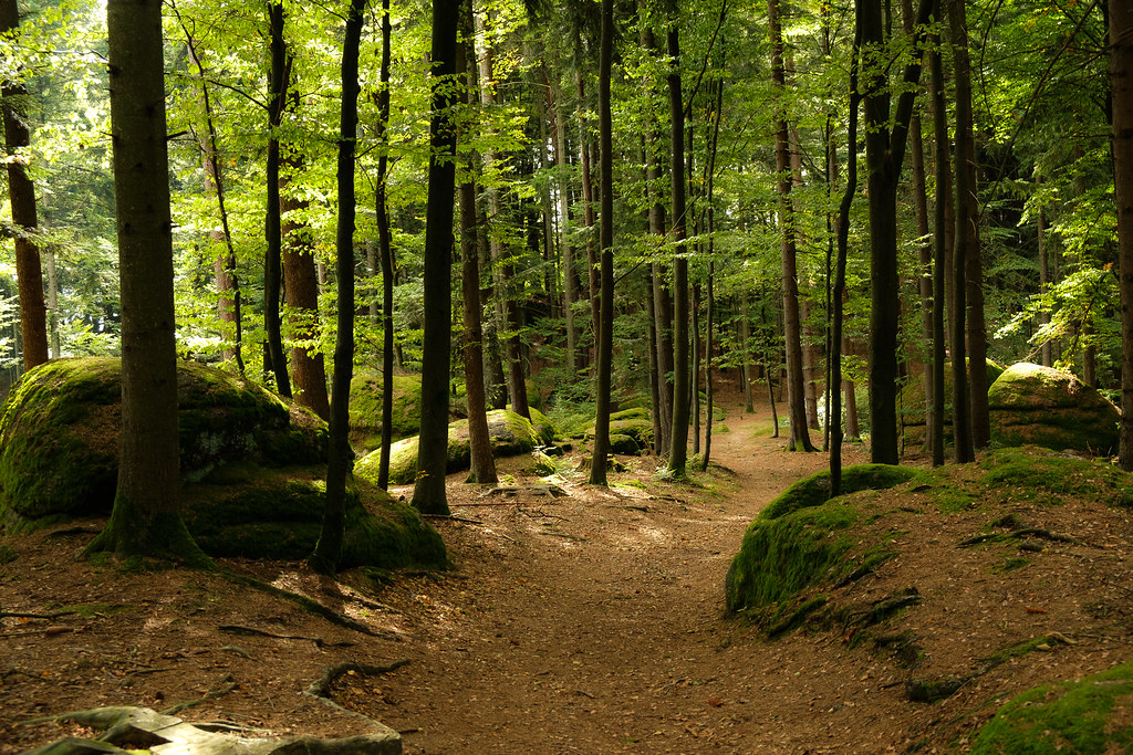
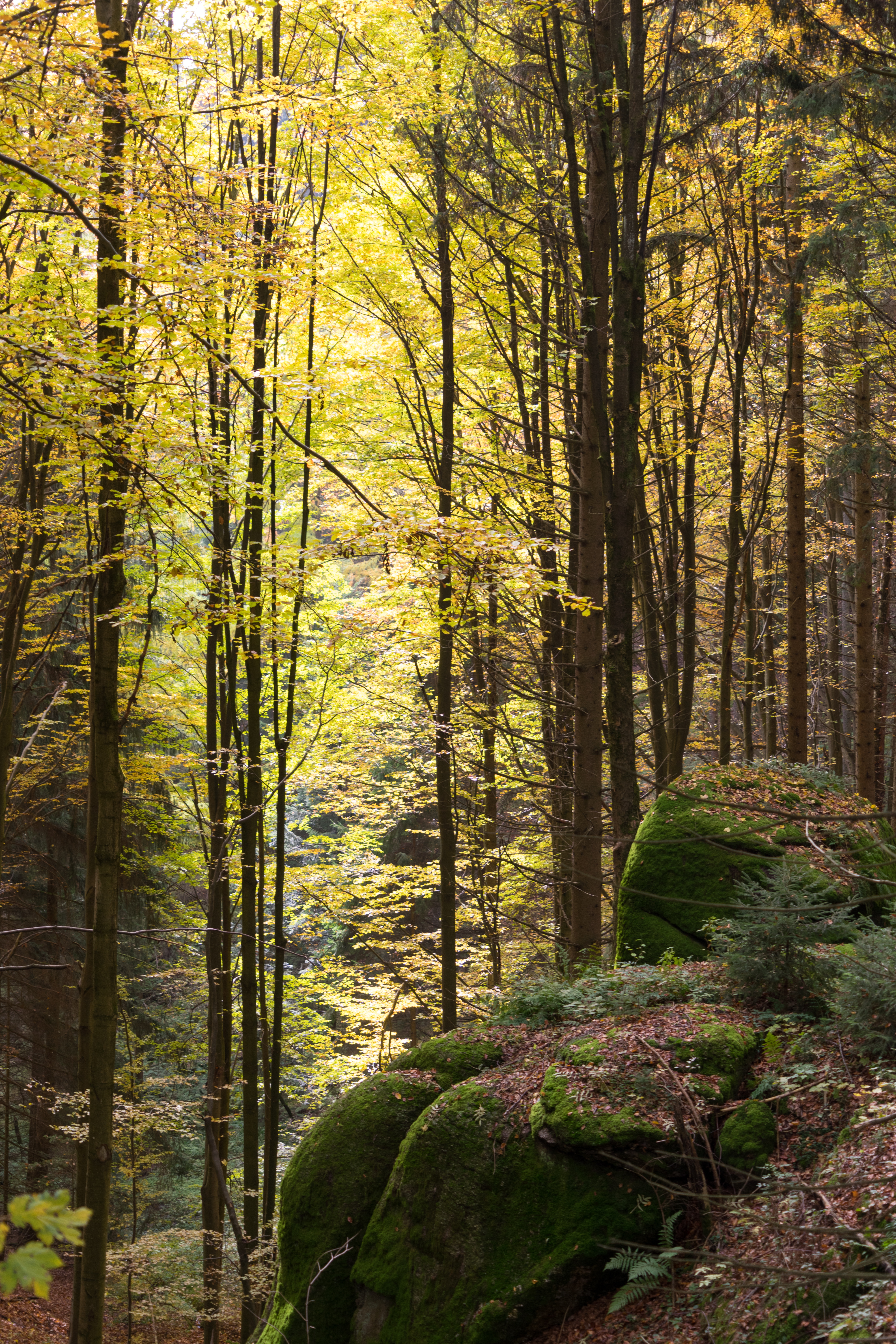
The Forest Is My Home
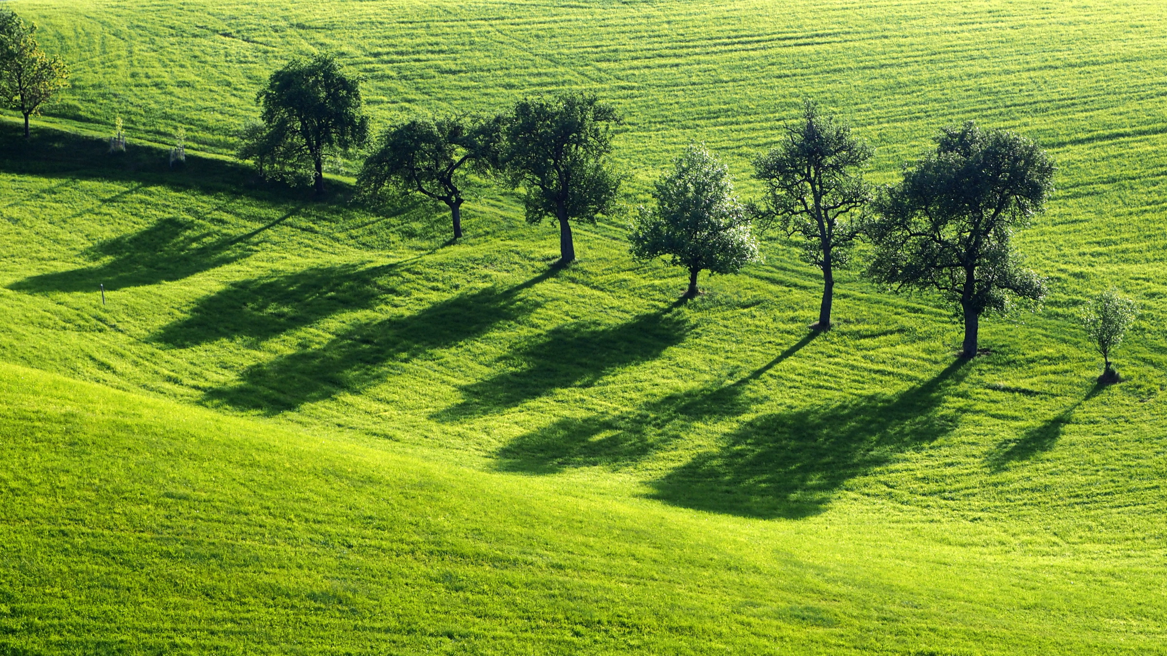
Landscape 22/52
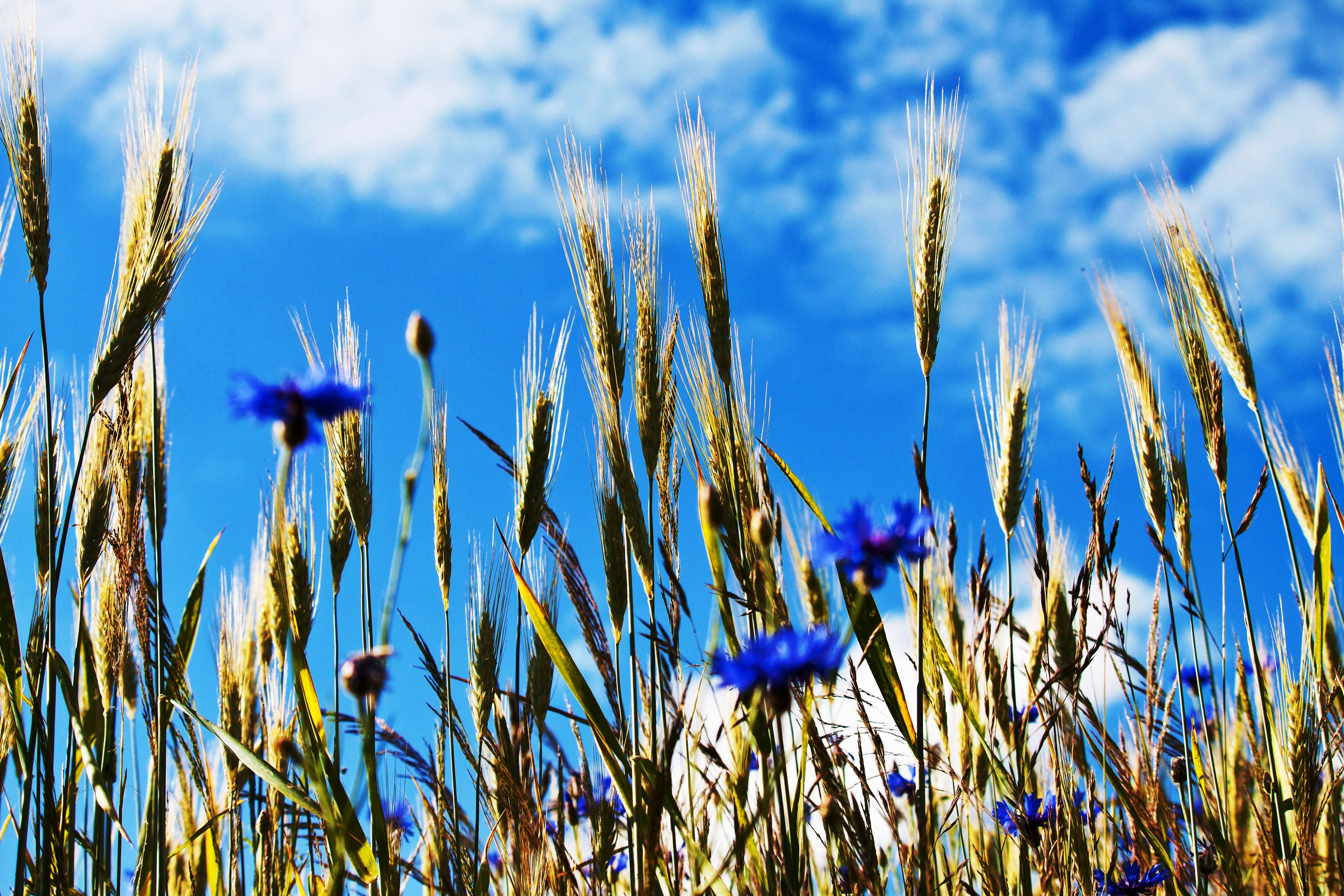
Kornblumen - nähe Braunberg St. Oswald - upper Austria

Kornfeld - cornfield with cornflower
So Far Away
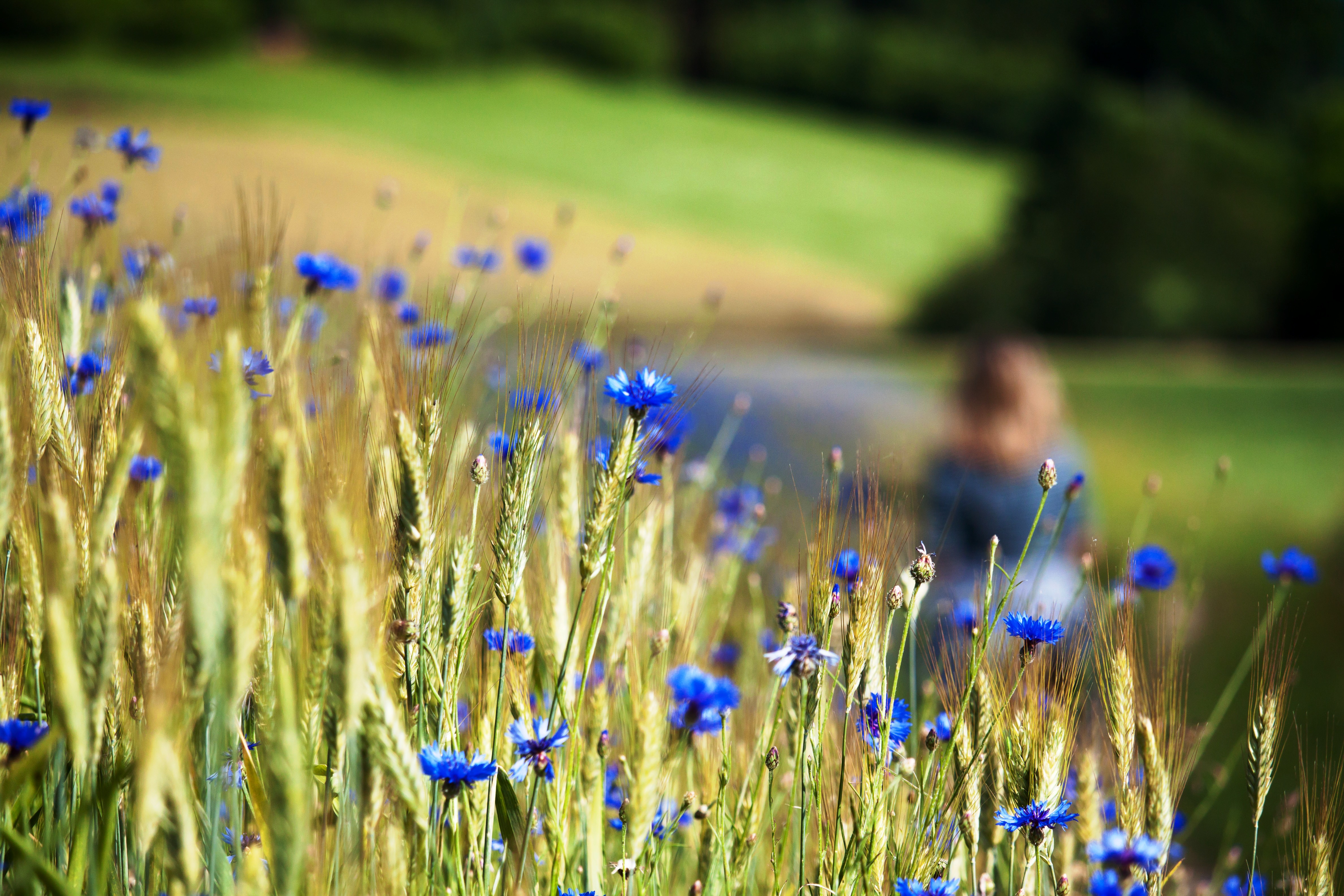
Kornblumen - nähe Braunberg St. Oswald - upper Austria

Ruin in Moonlight
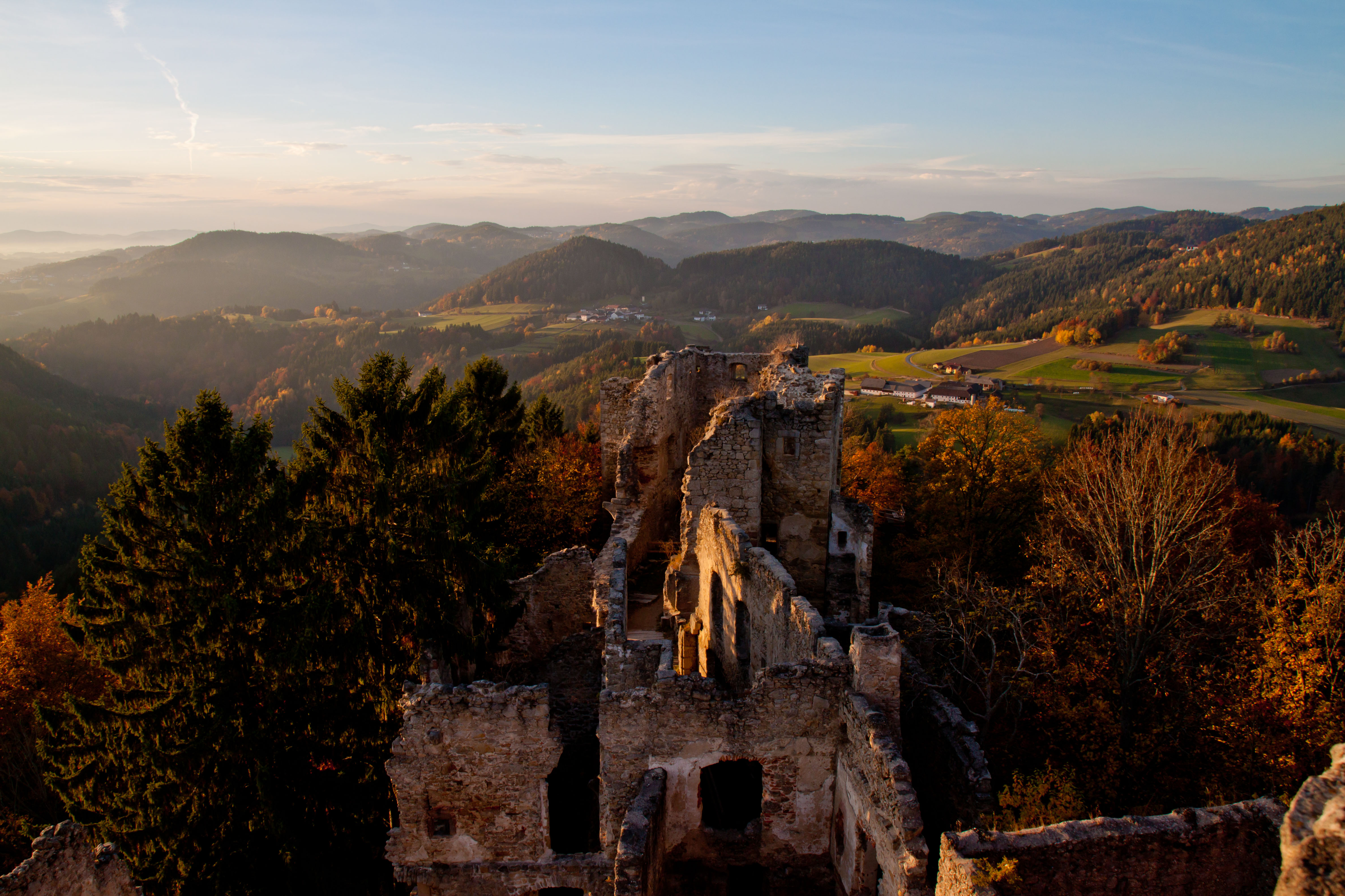
Prandegg - Ruin in upper Austria - 13. century

Mühlviertel-Prandegg
Ins Land eini schaugn...

Bacherl m. Sonnenspiegelung

DSC08211.jpg
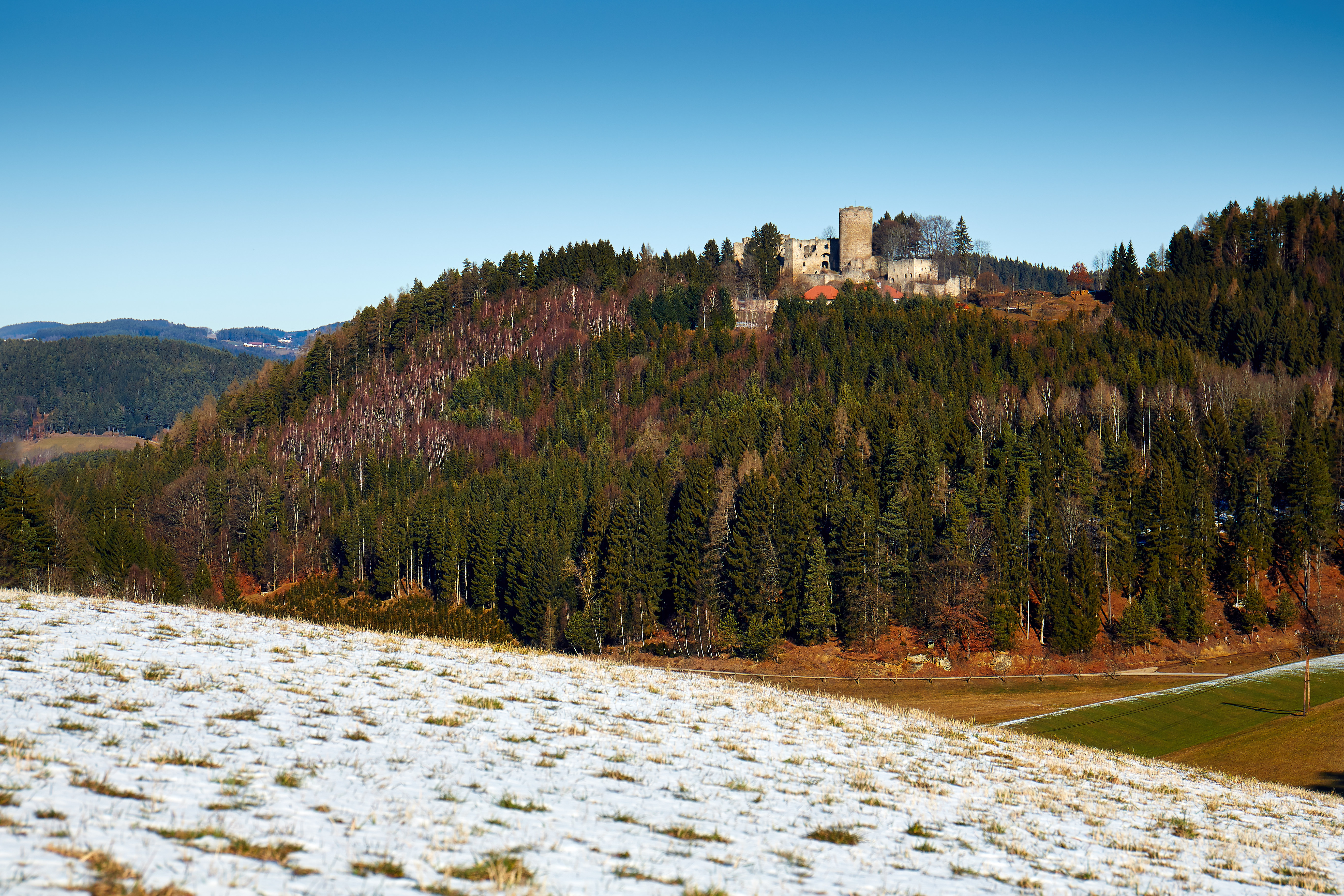
Burgruine Prandegg - OÖ.

DSC08024.jpg
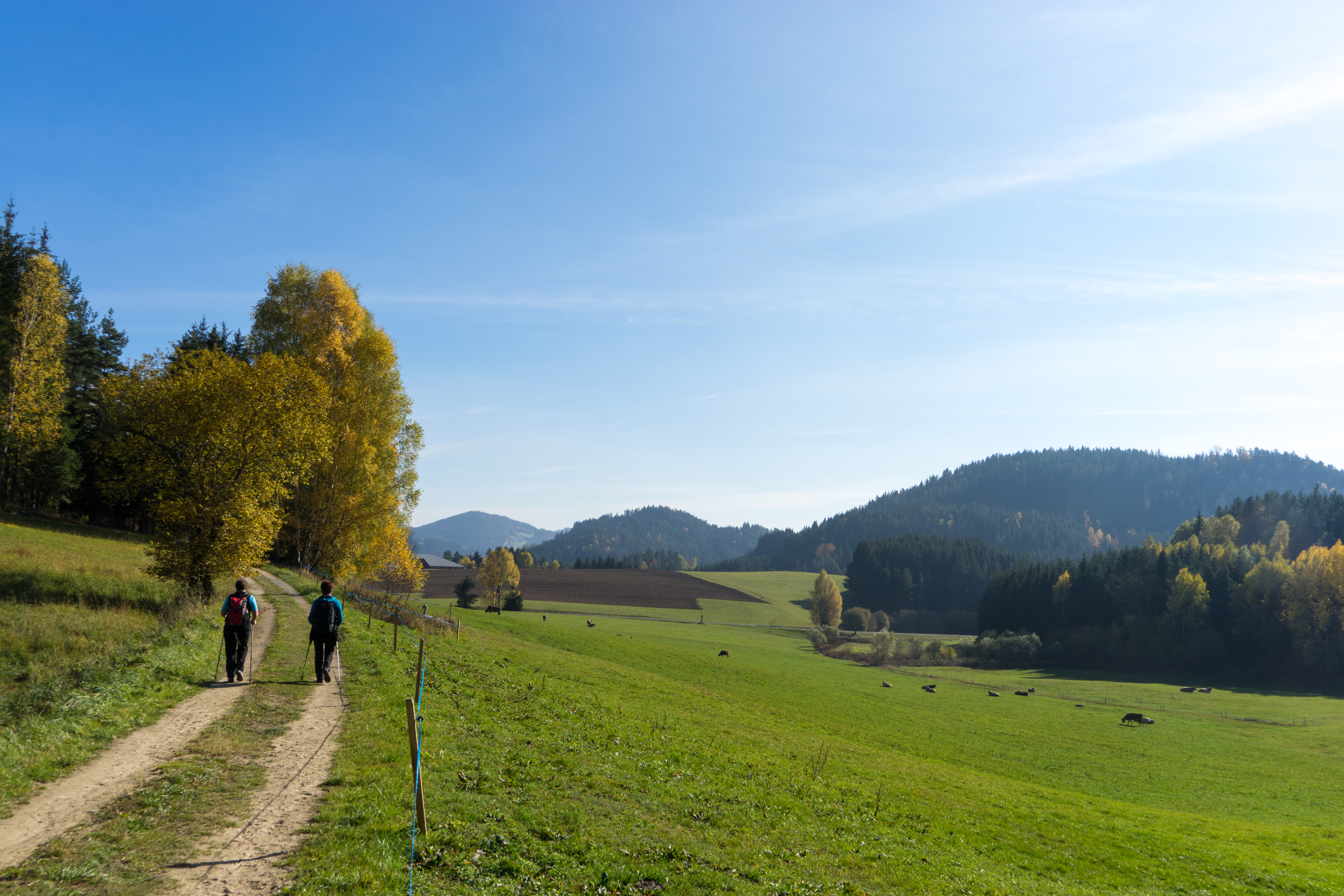
Naturparkweg in Rechberg
DSC08494.jpg
DSC08310.jpg
DSC08054.jpg
Mühlviertel - Prandegg
Topographic Map of Markersreith 2, Markersreith, Austria
Find elevation by address:

Places near Markersreith 2, Markersreith, Austria:
Markersreith
Weitersfelden
Straßreit 2, Straßreit, Austria
Straßreit
Hinterhütten 1, Hinterhütten, Austria
Pierbach
Lehen 86, Lehen, Austria
Gutau
Gartenstraße 1, Gutau, Austria
Gemeinde Gutau
Wippl 5, Wippl, Austria
Oberreitern 3, Oberreitern, Austria
Sankt Oswald Bei Freistadt
Pregarten
Freistadt District
Freistadt
Wartberg Ob Der Aist
Schloß Haus 1, Schloss Haus, Austria
Loibersdorf 9, Loibersdorf, Austria
Güterweg Schwandtendorf 1, Schwandtendorf, Austria
Recent Searches:
- Elevation of Corso Fratelli Cairoli, 35, Macerata MC, Italy
- Elevation of Tallevast Rd, Sarasota, FL, USA
- Elevation of 4th St E, Sonoma, CA, USA
- Elevation of Black Hollow Rd, Pennsdale, PA, USA
- Elevation of Oakland Ave, Williamsport, PA, USA
- Elevation of Pedrógão Grande, Portugal
- Elevation of Klee Dr, Martinsburg, WV, USA
- Elevation of Via Roma, Pieranica CR, Italy
- Elevation of Tavkvetili Mountain, Georgia
- Elevation of Hartfords Bluff Cir, Mt Pleasant, SC, USA