Elevation of Marilyn Dr, Portola, CA, USA
Location: United States > California > Plumas County > Portola >
Longitude: -120.47485
Latitude: 39.8705259
Elevation: 1833m / 6014feet
Barometric Pressure: 81KPa
Elevation Map:
Satellite Map:
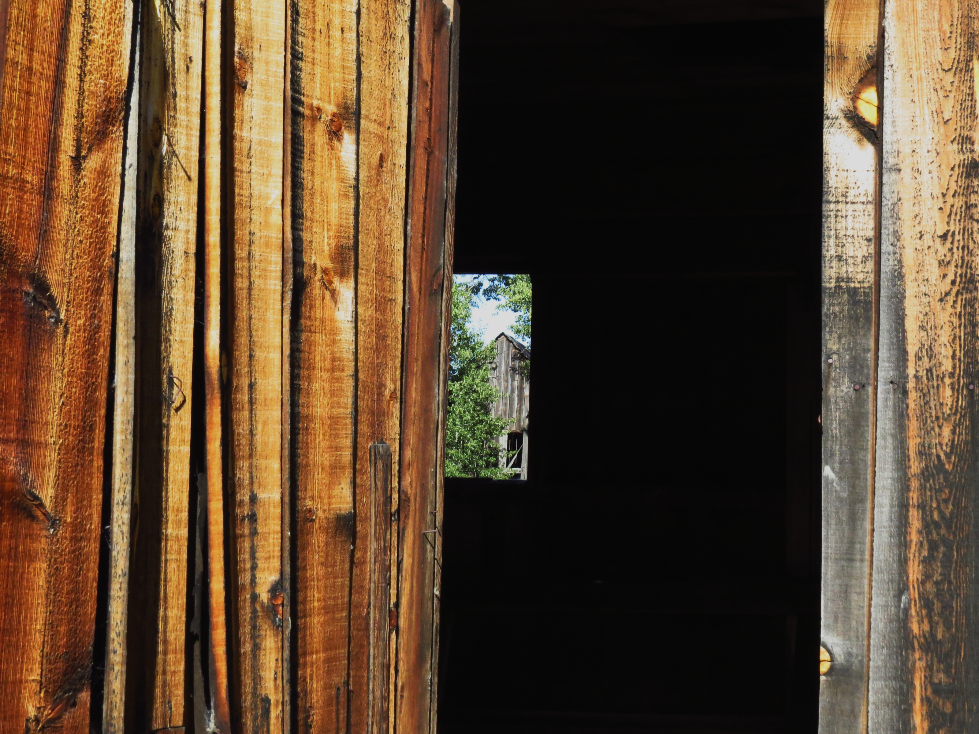
Related Photos:
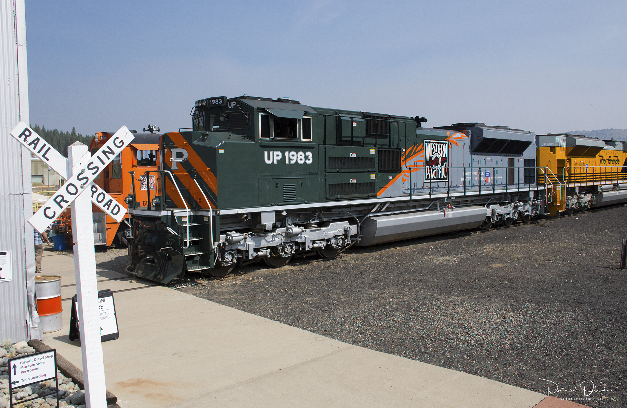
WP Roster

Rear view of the Feather River Express on the main line in Portola, CA
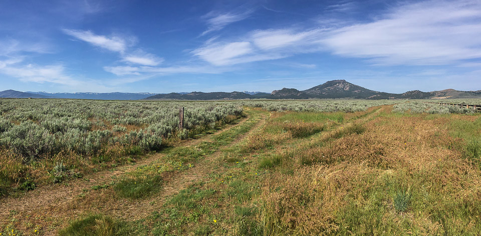
Sierra Valley_IMG_1274
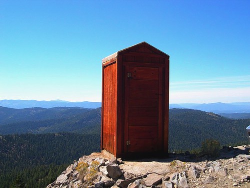
Room with a View
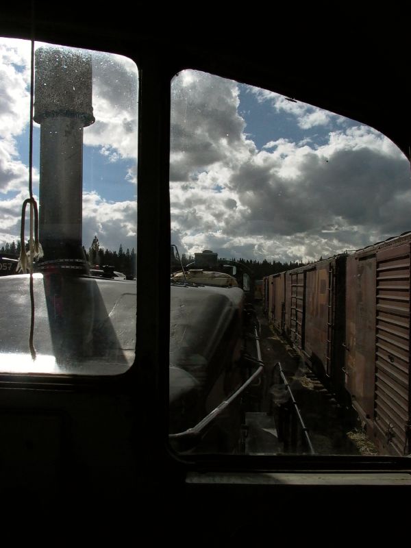
Engineer's view
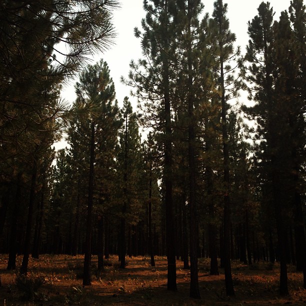
View from our cabins.
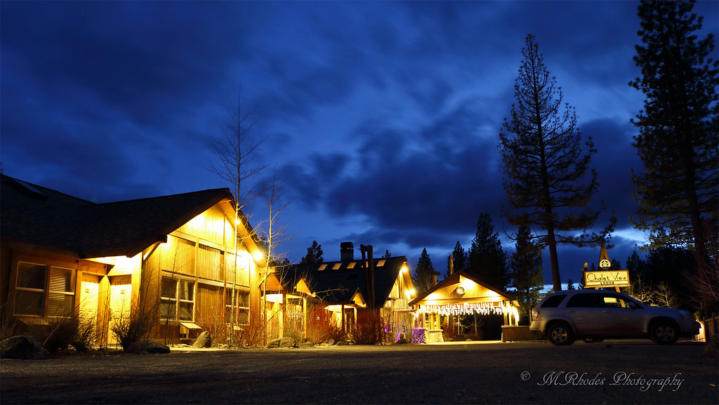
Chalet View Lodge
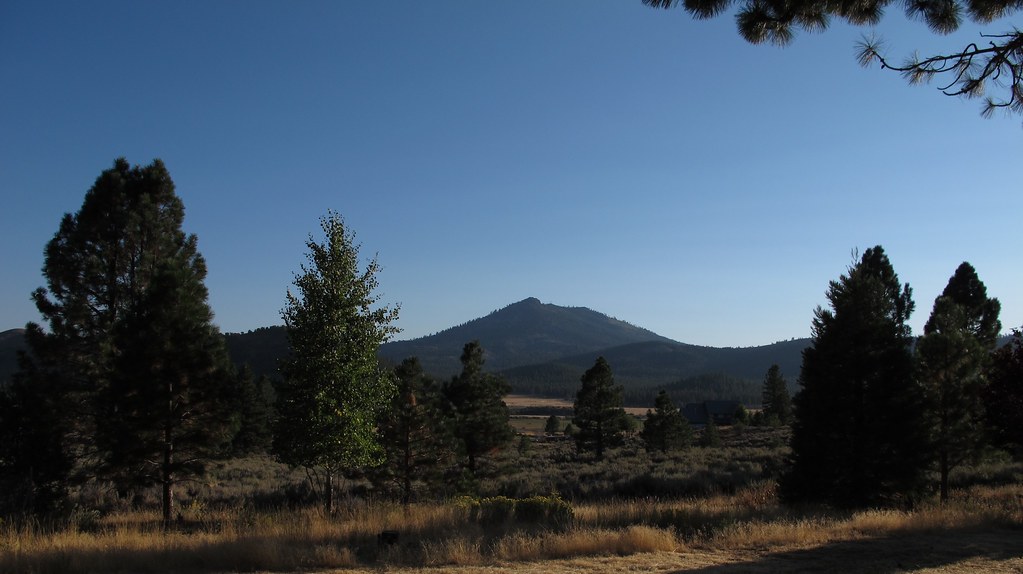
Sierra Valley, CA views
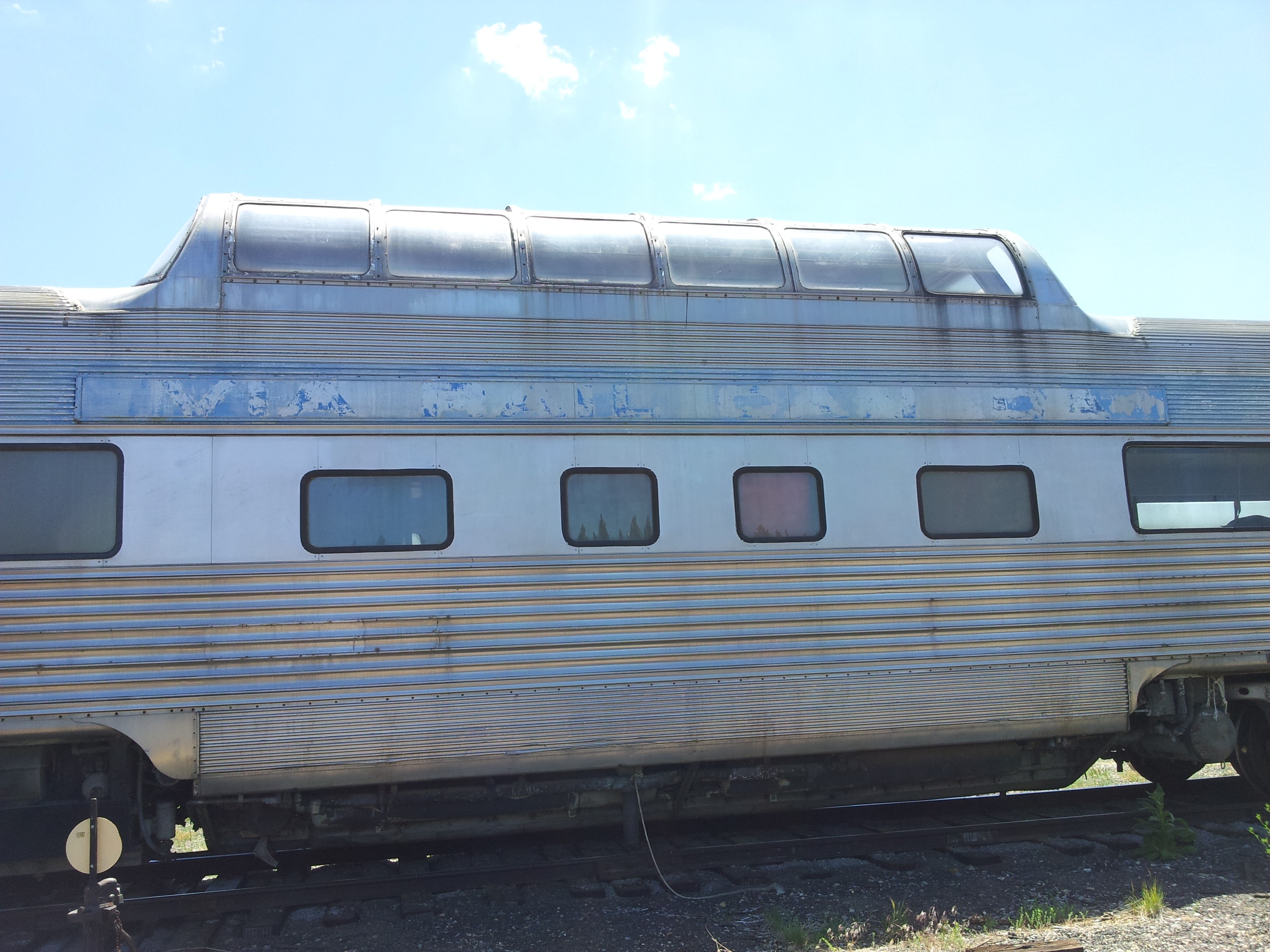
California Zephyr Vista View
Beckwirth cabin view
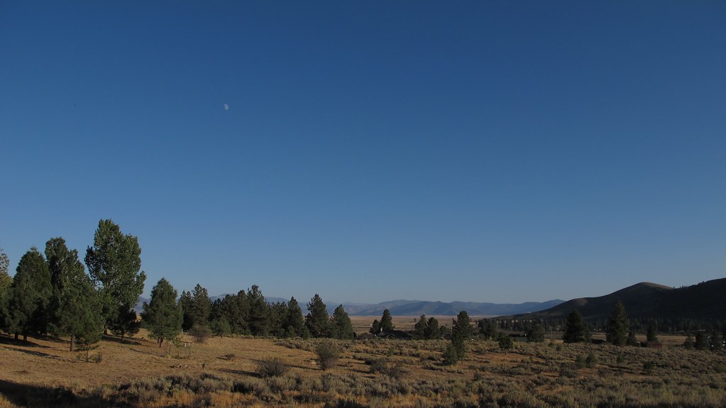
Sierra Valley, CA views
Topographic Map of Marilyn Dr, Portola, CA, USA
Find elevation by address:

Places near Marilyn Dr, Portola, CA, USA:
7315 Marilyn Dr
7315 Marilyn Dr
7315 Marilyn Dr
7315 Marilyn Dr
7315 Marilyn Dr
7315 Marilyn Dr
Lake Davis
Portola, CA, USA
Crocker Mountain
Chipmunk Lane
117 E Loyalton Ave
Portola
Portola Fire Department
700 Western Pacific Way
Delleker
700 3rd Ave
Portola Junior/senior High School
5646 Semaphore Rd
5712 Iron Horse Dr
Semaphore Rd, Portola, CA, USA
Recent Searches:
- Elevation of Corso Fratelli Cairoli, 35, Macerata MC, Italy
- Elevation of Tallevast Rd, Sarasota, FL, USA
- Elevation of 4th St E, Sonoma, CA, USA
- Elevation of Black Hollow Rd, Pennsdale, PA, USA
- Elevation of Oakland Ave, Williamsport, PA, USA
- Elevation of Pedrógão Grande, Portugal
- Elevation of Klee Dr, Martinsburg, WV, USA
- Elevation of Via Roma, Pieranica CR, Italy
- Elevation of Tavkvetili Mountain, Georgia
- Elevation of Hartfords Bluff Cir, Mt Pleasant, SC, USA