Elevation of Marcola Rd, Marcola, OR, USA
Location: United States > Oregon > Lane County > Marcola >
Longitude: -122.8389
Latitude: 44.1951988
Elevation: 174m / 571feet
Barometric Pressure: 0KPa
Related Photos:

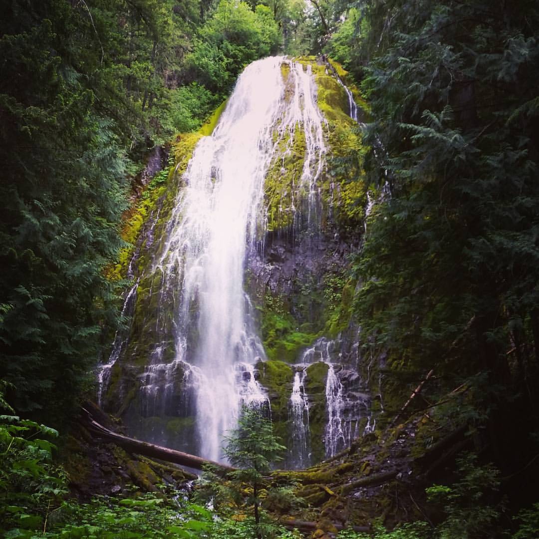
Peaceful-Co-Existence. Image by Eva.

More Shotgun Creek

54 foggy miles on mckenzie view with the team this morning [18/365] #eugene #oregon #cycling #felt #greatnorthcollective #fog

Cross View

Horse Rock Ridge, Study 2

Horse Rock Ridge, Study 1

View from the Horse Rock Ridge Trail

View from the Horse Rock Ridge Trail

View from the Horse Rock Ridge Trail

OregonTrip_10-2010-4075

Jun 10th - Partial - partial view of Lower Proxy Falls #fmsphotoaday #oregonexplored

View from the Farm
Lower Proxy Falls #oregonexplored #pnw #pnwonderland

McKenzie River

Oaks near Lebanon

Aerials: from Las Vegas to Portland. Clear skies!

Aerials: from Las Vegas to Portland. Clear skies!

Walterville Canal

McKenzie River, Eugene

Sunrise on my way to work

Sunrise on my way to work

Willamette Valley

Sunset 1

Mossy Trees

I see a demon face in the lighter wood. Is that just me? :-P #oregonexplored #pnw

Coburg Hills - Fog

Coburg Hills - Fog

Upper Proxy Falls #oregonexplored #pnwonderland #pnw
Topographic Map of Marcola Rd, Marcola, OR, USA
Find elevation by address:

Places near Marcola Rd, Marcola, OR, USA:
Earnest Bridge
38935 Shotgun Creek Rd
Marcola Rd, Marcola, OR, USA
Marcola
92088 Marcola Rd
92088 Marcola Rd
Pioch Lane
92465 Pioch Ln
37319 Parsons Creek Rd
97448 Johnson Rd
37148 Parsons Creek Rd
Shotgun Creek
Howard Road
37203 Conley Rd
40051 Mohawk River Rd
Crooked Creek Road
36731 Boiler Creek Rd
40237 Mohawk River Rd
40385 Mohawk River Rd
Seeley Creek Road
Recent Searches:
- Elevation map of Greenland, Greenland
- Elevation of Sullivan Hill, New York, New York, 10002, USA
- Elevation of Morehead Road, Withrow Downs, Charlotte, Mecklenburg County, North Carolina, 28262, USA
- Elevation of 2800, Morehead Road, Withrow Downs, Charlotte, Mecklenburg County, North Carolina, 28262, USA
- Elevation of Yangbi Yi Autonomous County, Yunnan, China
- Elevation of Pingpo, Yangbi Yi Autonomous County, Yunnan, China
- Elevation of Mount Malong, Pingpo, Yangbi Yi Autonomous County, Yunnan, China
- Elevation map of Yongping County, Yunnan, China
- Elevation of North 8th Street, Palatka, Putnam County, Florida, 32177, USA
- Elevation of 107, Big Apple Road, East Palatka, Putnam County, Florida, 32131, USA
- Elevation of Jiezi, Chongzhou City, Sichuan, China
- Elevation of Chongzhou City, Sichuan, China
- Elevation of Huaiyuan, Chongzhou City, Sichuan, China
- Elevation of Qingxia, Chengdu, Sichuan, China
- Elevation of Corso Fratelli Cairoli, 35, Macerata MC, Italy
- Elevation of Tallevast Rd, Sarasota, FL, USA
- Elevation of 4th St E, Sonoma, CA, USA
- Elevation of Black Hollow Rd, Pennsdale, PA, USA
- Elevation of Oakland Ave, Williamsport, PA, USA
- Elevation of Pedrógão Grande, Portugal