Elevation of Marandeuil, France
Location: France > Bourgogne-franche-comté > Côte-d'or >
Longitude: 5.3436769
Latitude: 47.351818
Elevation: 191m / 627feet
Barometric Pressure: 99KPa
Elevation Map:
Satellite Map:
Related Photos:
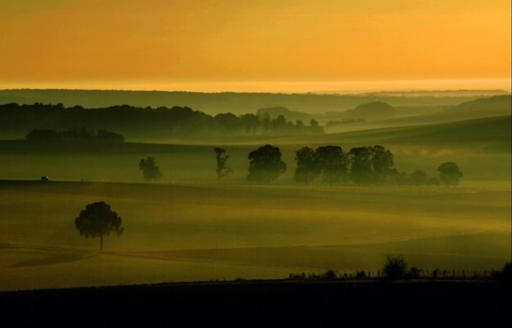
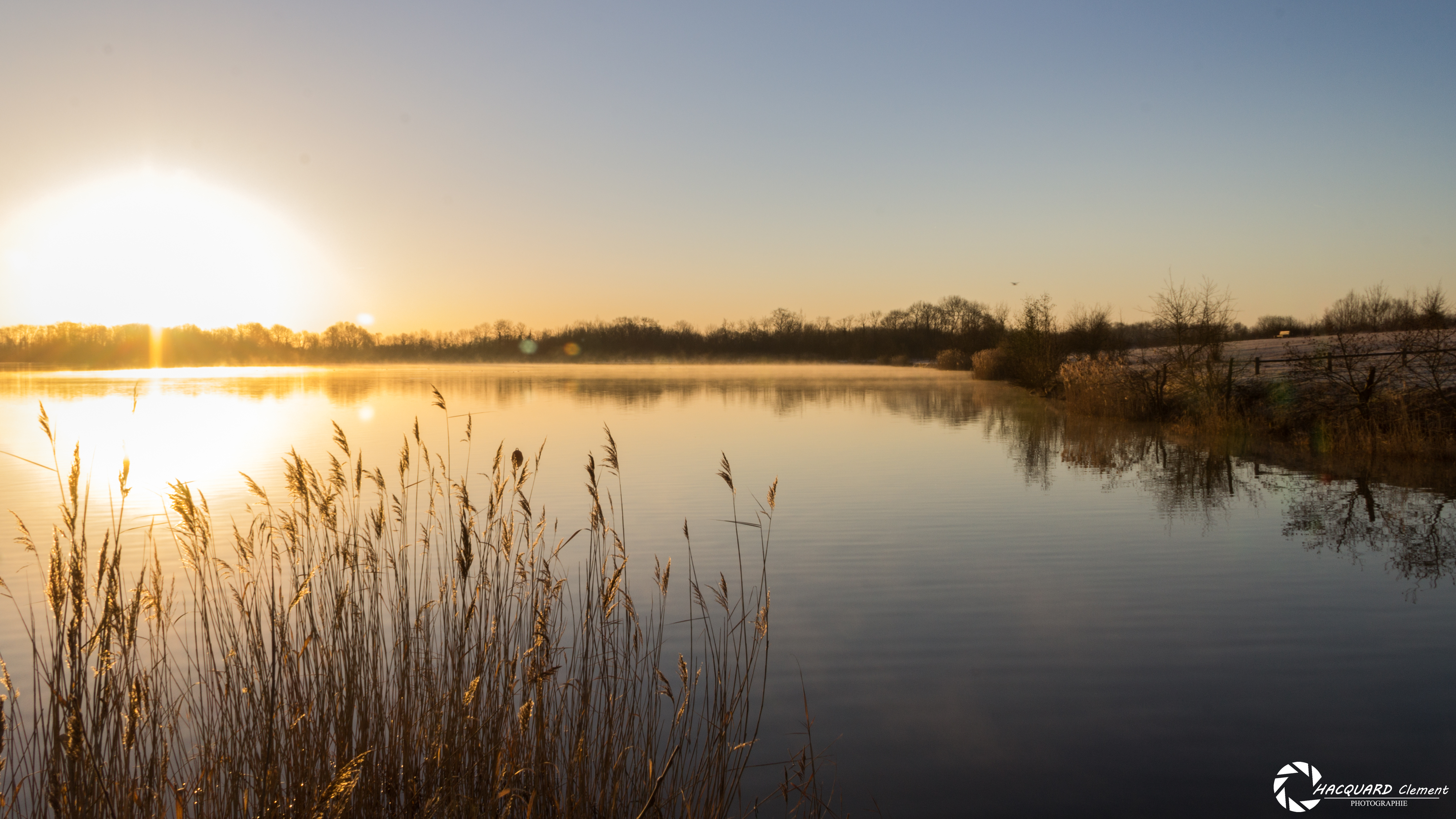
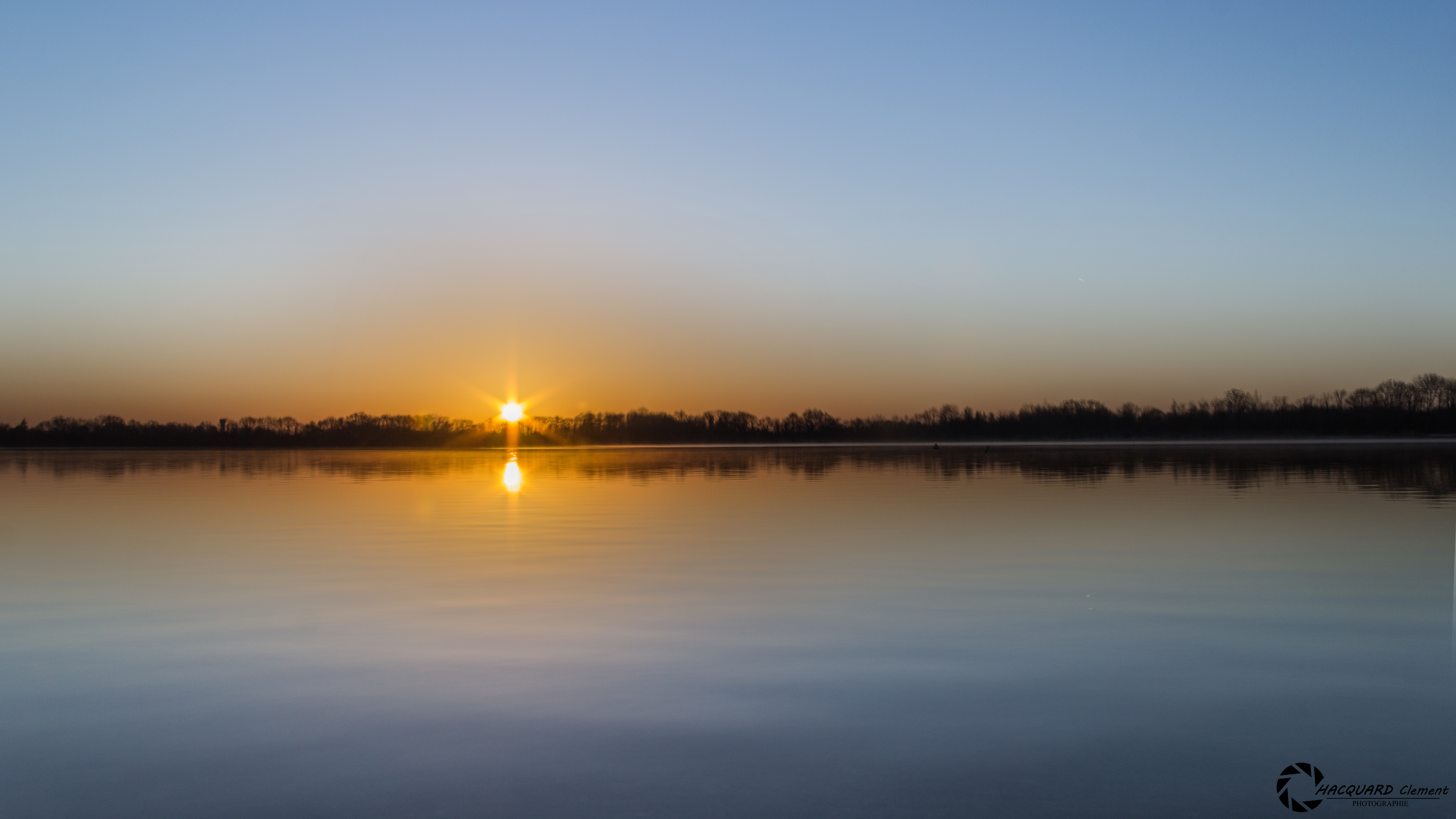
the best morning view a photographer can wish
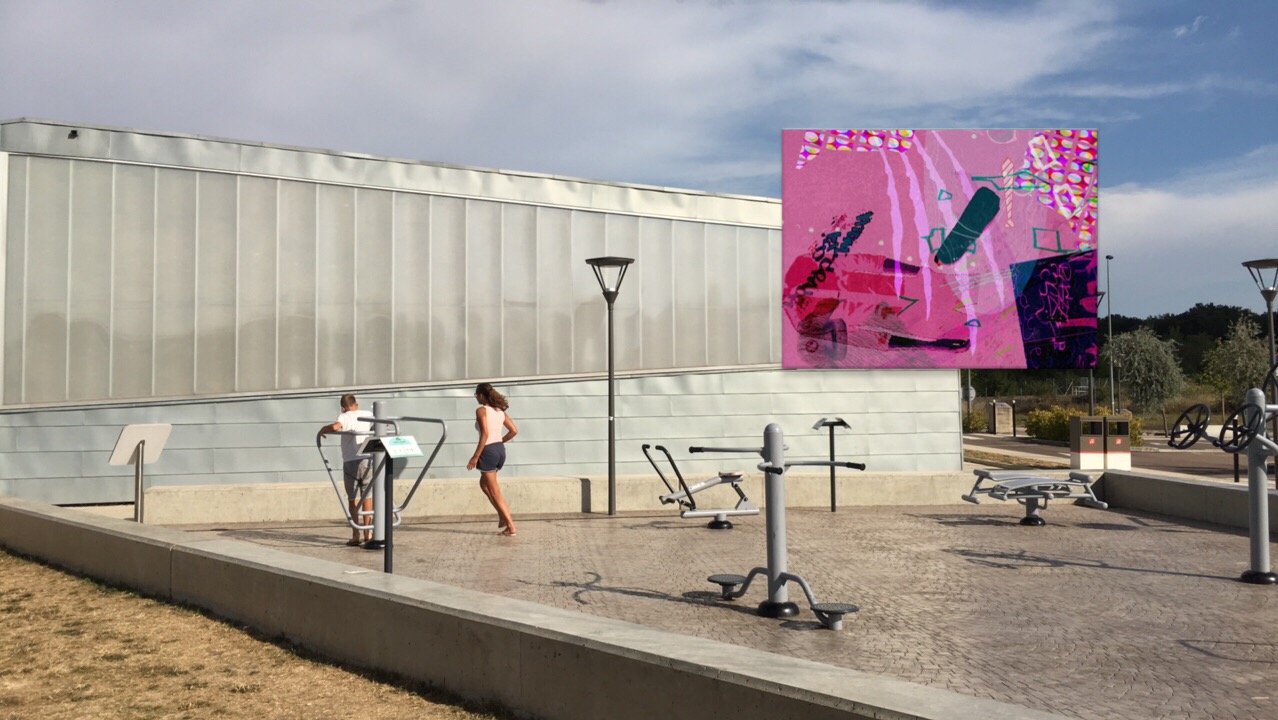
View of "Dysfunkt Chaosmix" - Wednesday, 17 August 2016 - 17:29 GMT+0200
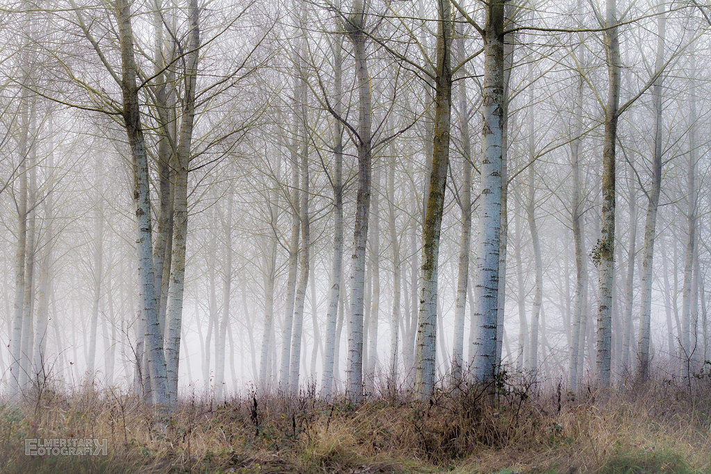
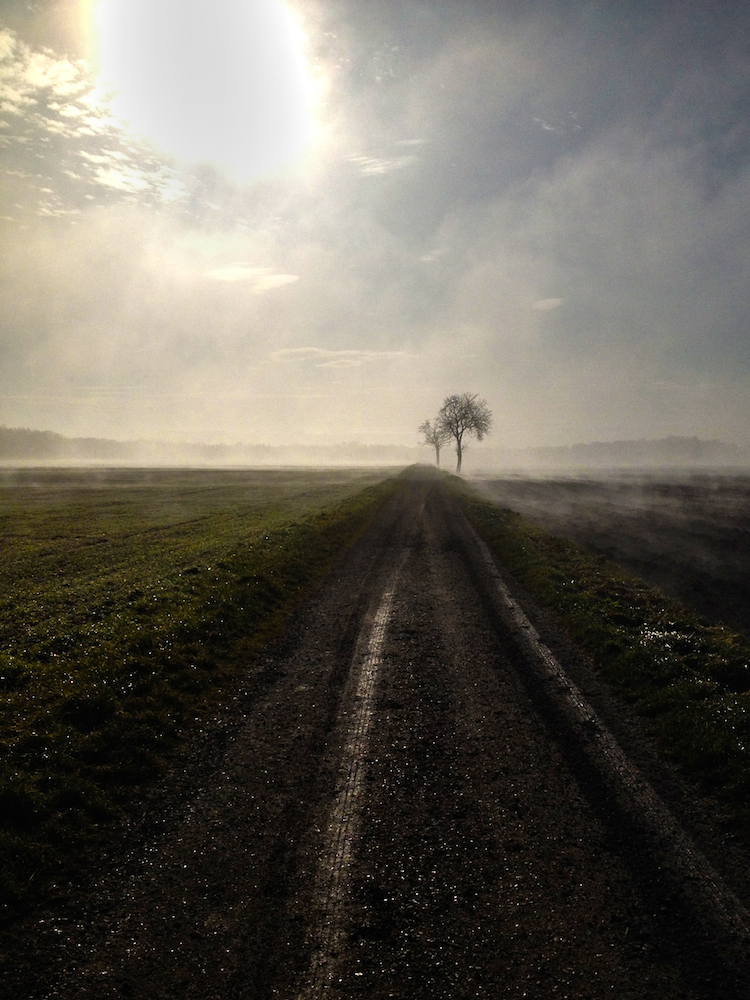
Misty wood

IMG_6001-001
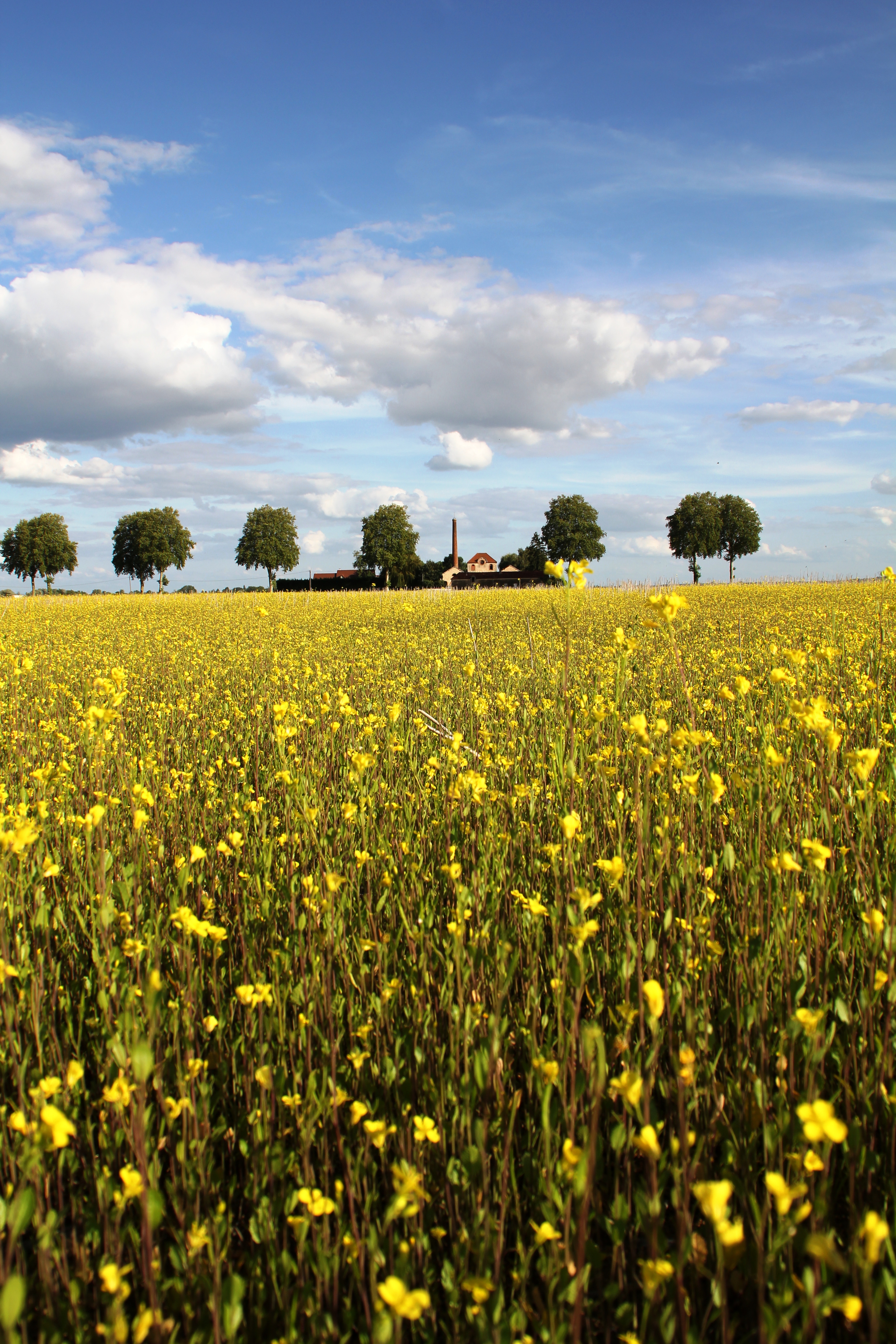
Et au fond du champ... une ferme

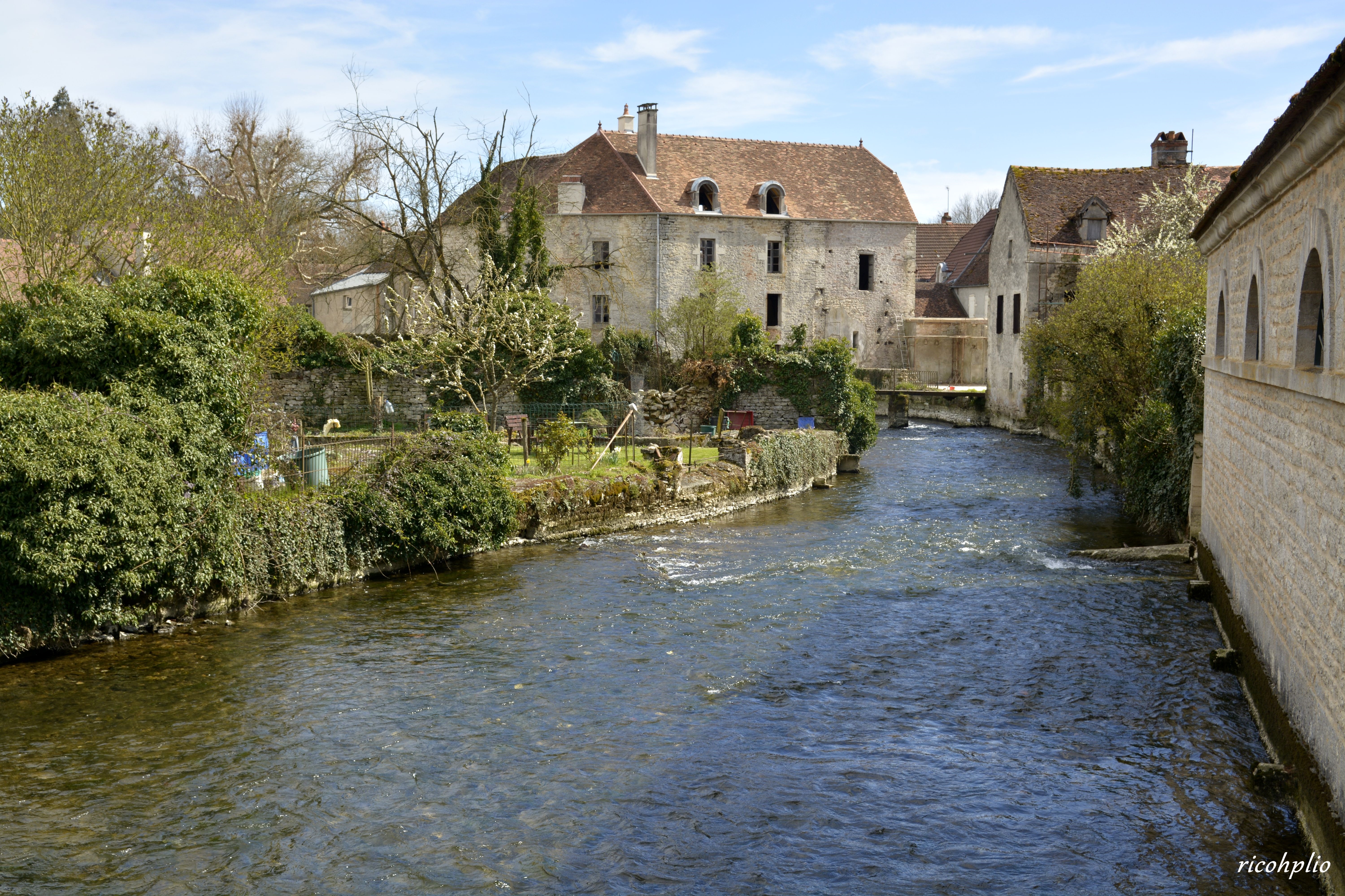
Source de la Bèze - Bèze (Côte-d'Or, en Bourgogne)

Bèze (Côte-d'Or, en Bourgogne)
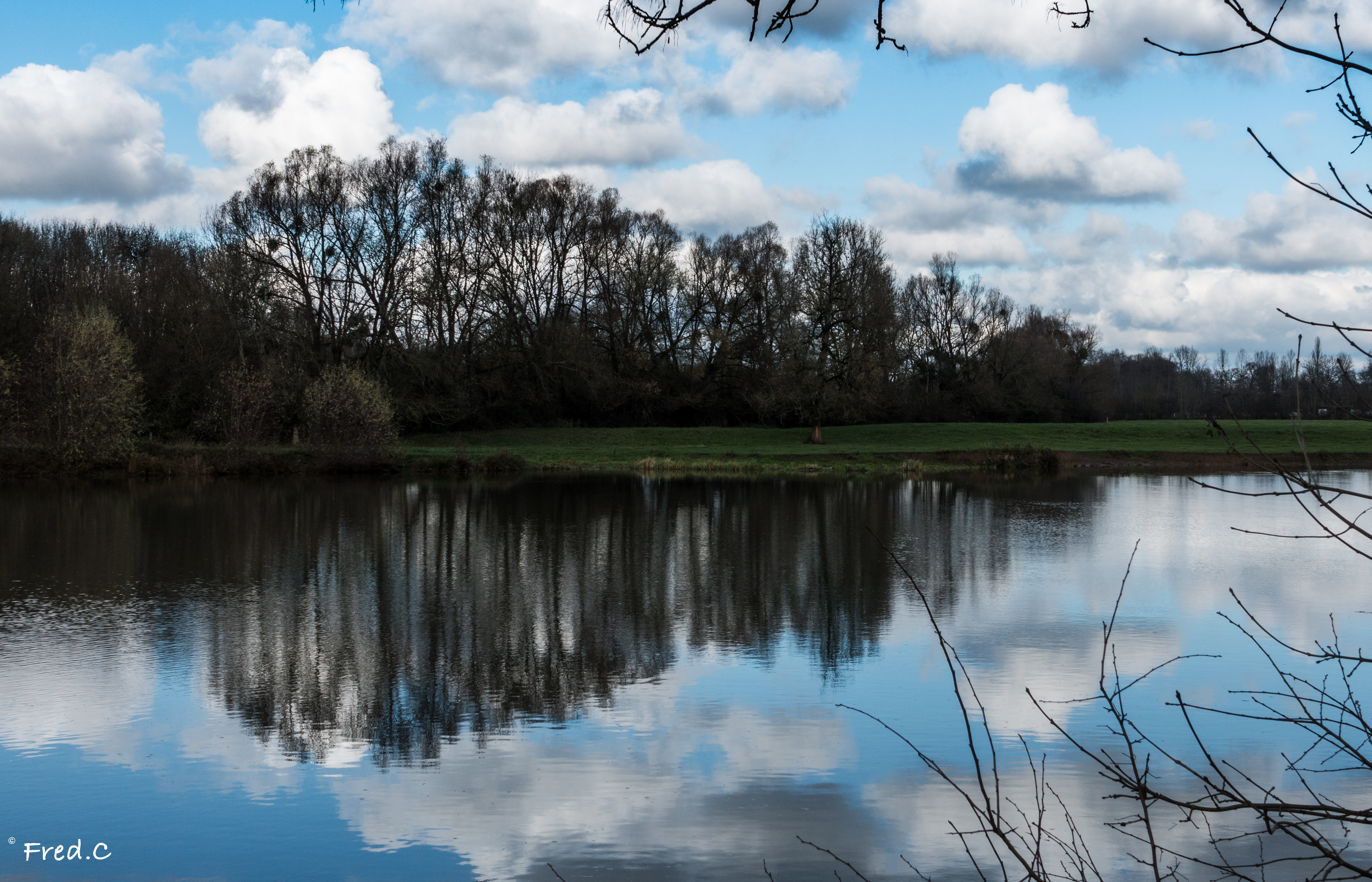
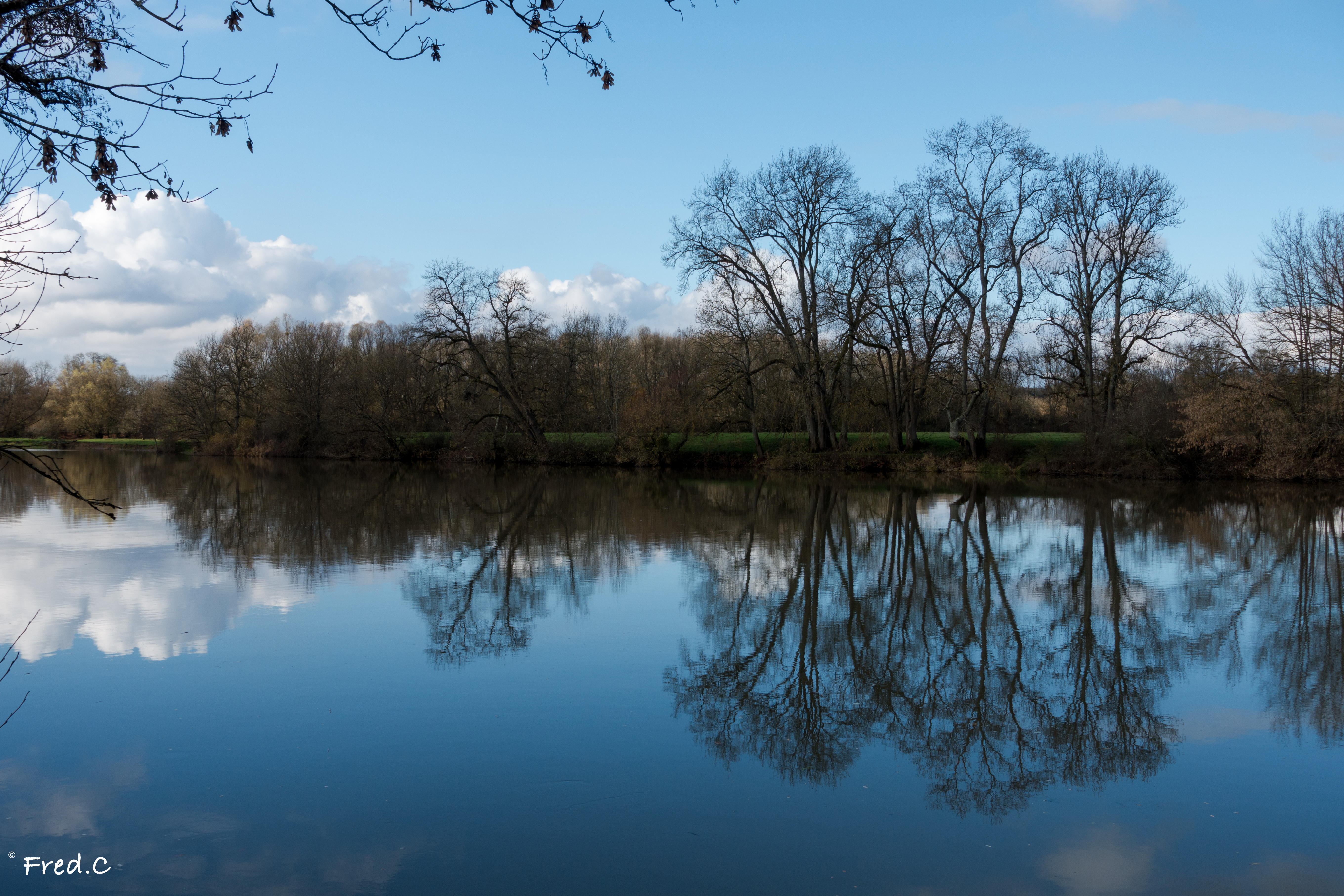
En bord de Saône

Orgeux #bourgogne
לך לך
Dev-TOF_1065_6_7_8
Arc-sur-Tille
Arc-sur-Tille
La Bèze - Bèze (Côte-d'Or, en Bourgogne)

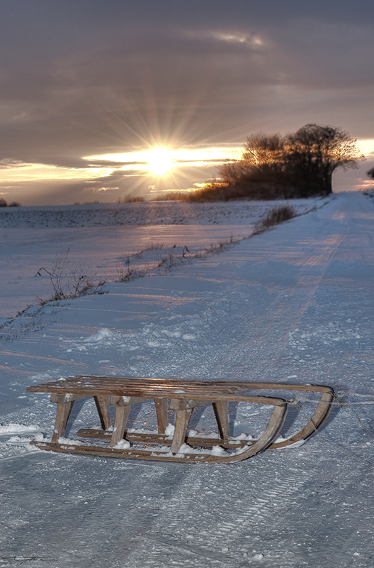
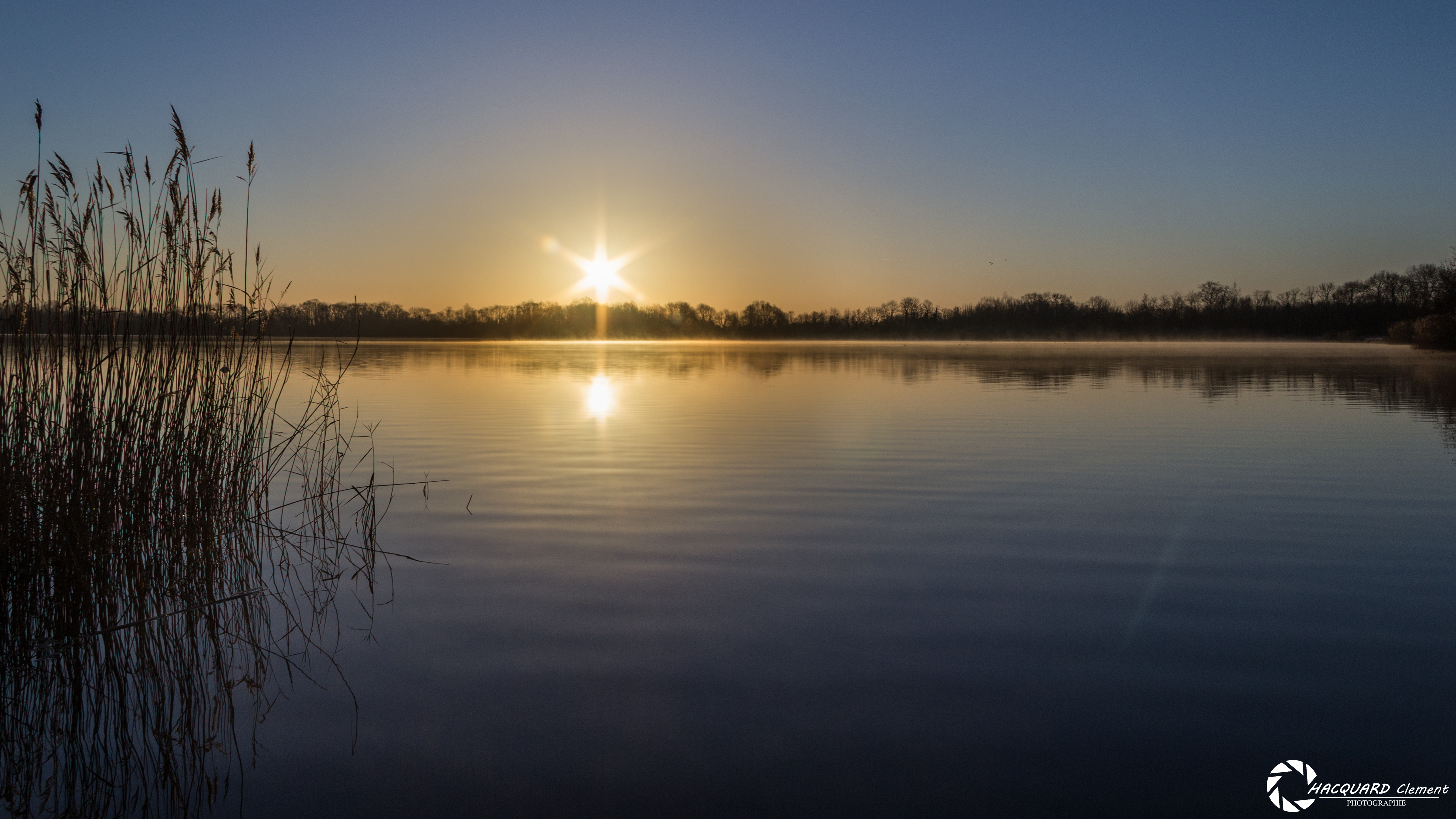
Les étangs gelés... HDR
Arc-sur-Tille
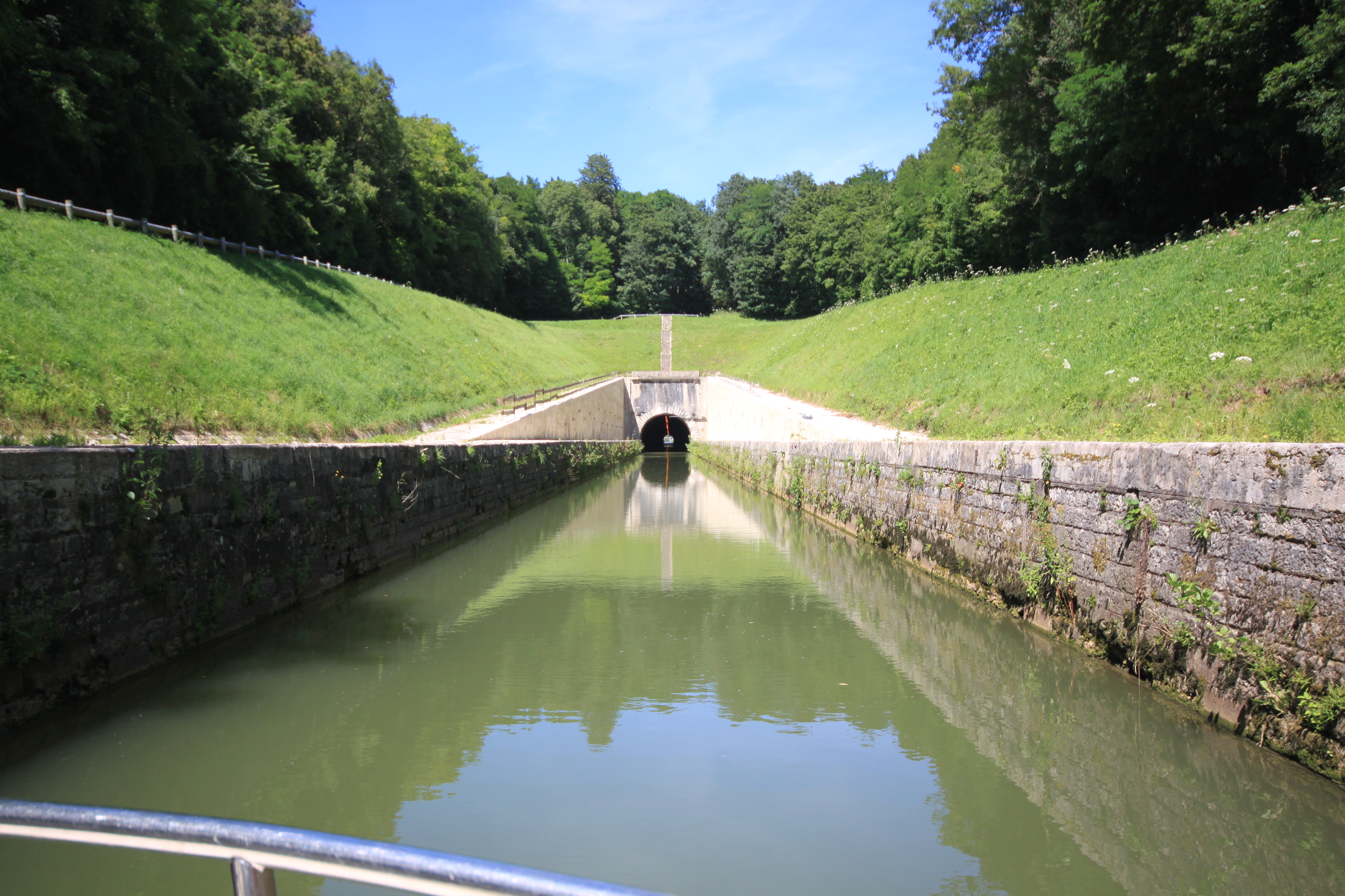
Sailing on the Saone river, seeing the light at the end of the tunnel
Arc-sur-Tille
Mantoche / Saône
Arc-sur-Tille
Arc-sur-Tille
Bord de Saône
Topographic Map of Marandeuil, France
Find elevation by address:

Places in Marandeuil, France:
Places near Marandeuil, France:
2 Rue Centrale, Marandeuil, France
Bézouotte
9 Rue de la Forge, Bézouotte, France
10a
Mirebeau-sur-bèze
Oisilly
3 Rue des Champs, Oisilly, France
2 Rue du Houblon, Tanay, France
Tanay
Magny-montarlot
7 Rue de Longchamp, Magny-Montarlot, France
Perrigny-sur-l'ognon
2 Route de Vielverge, Perrigny-sur-l'Ognon, France
22 Rue Grande Rue, Premières, France
Premières
5b
Pont
Apremont
11 Rue Basse, Apremont, France
10 Rue de Saint-Julien, Flacey, France
Recent Searches:
- Elevation of Corso Fratelli Cairoli, 35, Macerata MC, Italy
- Elevation of Tallevast Rd, Sarasota, FL, USA
- Elevation of 4th St E, Sonoma, CA, USA
- Elevation of Black Hollow Rd, Pennsdale, PA, USA
- Elevation of Oakland Ave, Williamsport, PA, USA
- Elevation of Pedrógão Grande, Portugal
- Elevation of Klee Dr, Martinsburg, WV, USA
- Elevation of Via Roma, Pieranica CR, Italy
- Elevation of Tavkvetili Mountain, Georgia
- Elevation of Hartfords Bluff Cir, Mt Pleasant, SC, USA