Elevation of Maple Ridge Rd, Milford Center, OH, USA
Location: United States > Ohio > Union County > Allen Township > Milford Center >
Longitude: -83.45097
Latitude: 40.210175
Elevation: -10000m / -32808feet
Barometric Pressure: 295KPa
Elevation Map:
Satellite Map:
Related Photos:

The View

Abandoned House - Marysville, OH
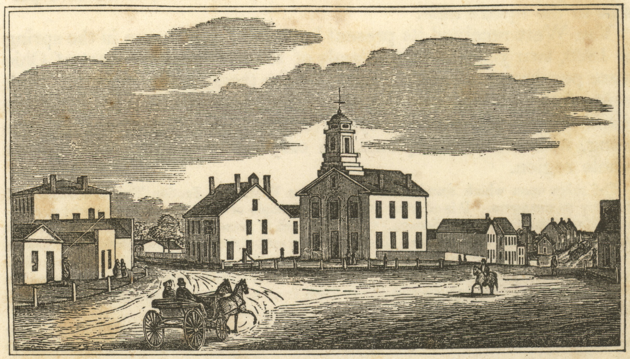
Central View in Marysville

Week 27 - 1-7 July - SKIES Project flickr

J.M. Andrews House - Unionville Center, OH

Outside view

Andrews House - Unionville Center, OH
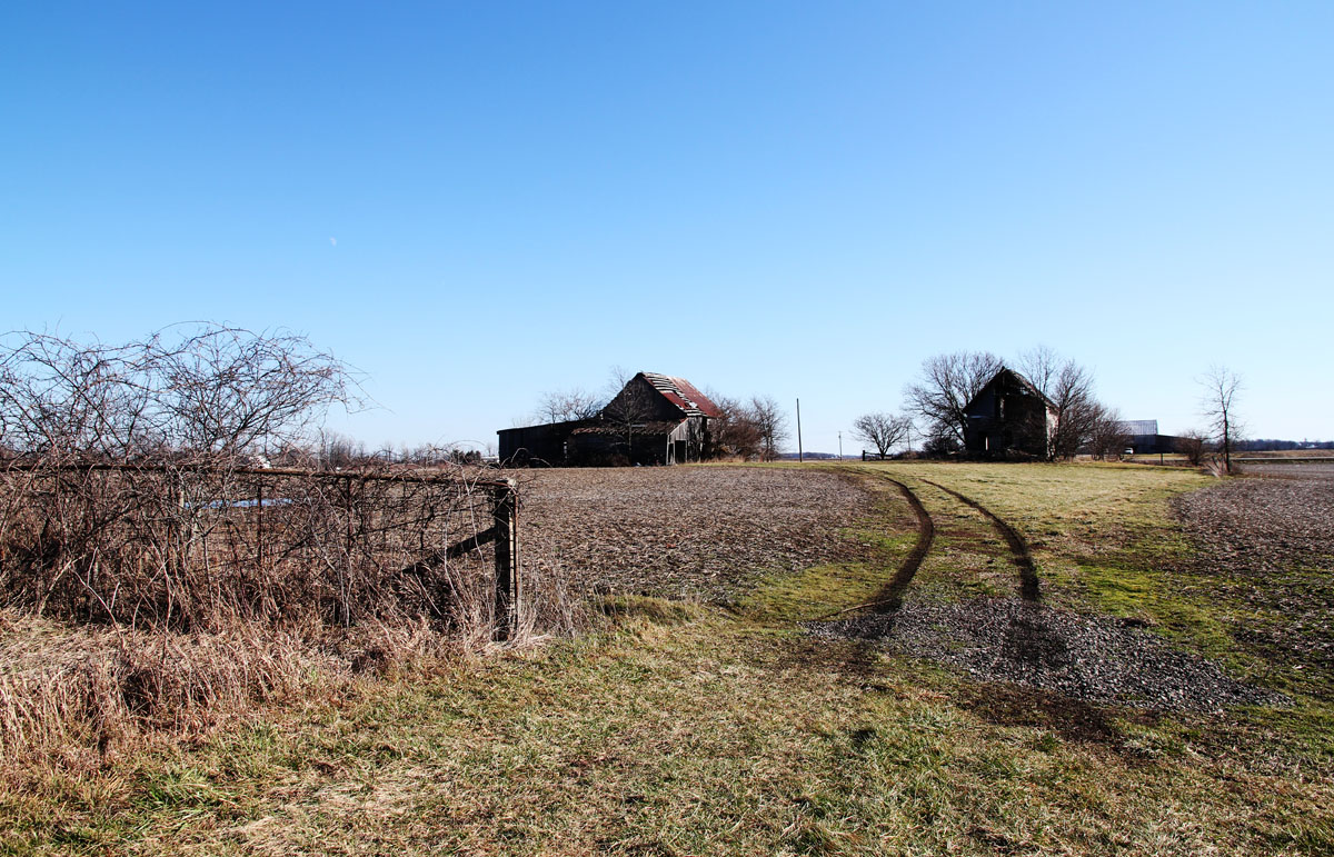
Hopkins Farm - Irwin, OH
Topographic Map of Maple Ridge Rd, Milford Center, OH, USA
Find elevation by address:

Places near Maple Ridge Rd, Milford Center, OH, USA:
22175 Buck Run Rd
11 W State St, Milford Center, OH, USA
Milford Center
Allen Township
23575 Holycross-epps Rd
514 Restoration Dr
Union Township
940 London Ave
244 N Maple St
435 N Maple St
Marysville
Taylor Ave, Marysville, OH, USA
Irwin
OH-, Irwin, OH, USA
218 Buerger St
Buerger St, Marysville, OH, USA
475 Mill St
Darby Township
Rosedale-Milford Center Rd, Irwin, OH, USA
15286 Hagenderfer Rd
Recent Searches:
- Elevation of Corso Fratelli Cairoli, 35, Macerata MC, Italy
- Elevation of Tallevast Rd, Sarasota, FL, USA
- Elevation of 4th St E, Sonoma, CA, USA
- Elevation of Black Hollow Rd, Pennsdale, PA, USA
- Elevation of Oakland Ave, Williamsport, PA, USA
- Elevation of Pedrógão Grande, Portugal
- Elevation of Klee Dr, Martinsburg, WV, USA
- Elevation of Via Roma, Pieranica CR, Italy
- Elevation of Tavkvetili Mountain, Georgia
- Elevation of Hartfords Bluff Cir, Mt Pleasant, SC, USA