Elevation of Buck Run Rd, Milford Center, OH, USA
Location: United States > Ohio > Union County > Allen Township >
Longitude: -83.463489
Latitude: 40.221966
Elevation: 317m / 1040feet
Barometric Pressure: 98KPa
Elevation Map:
Satellite Map:
Related Photos:

J.M. Andrews House - Unionville Center, OH

The View
Central View in Marysville

Week 27 - 1-7 July - SKIES Project flickr
My view in Ohio today.
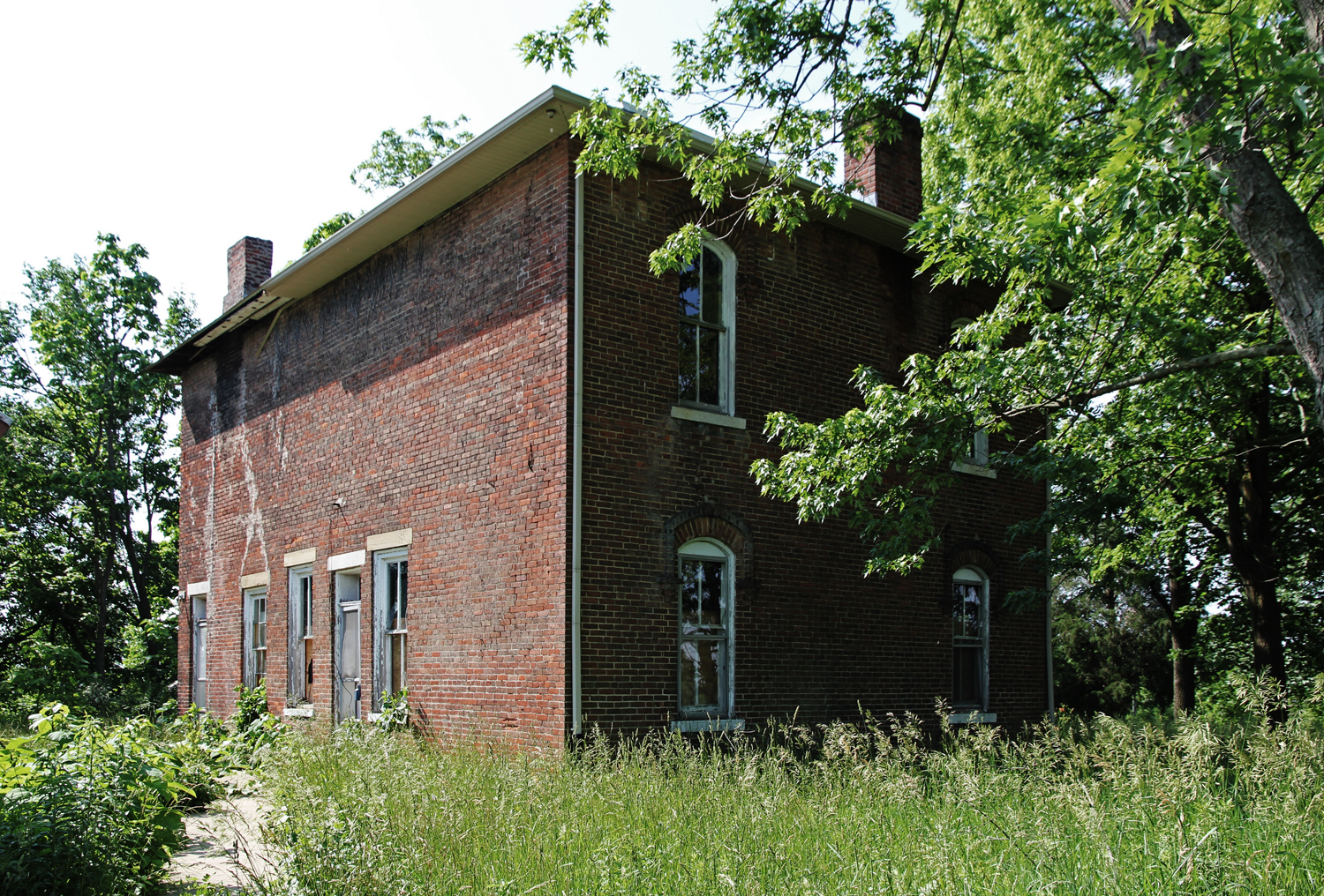
Andrews House - Unionville Center, OH

Outside view
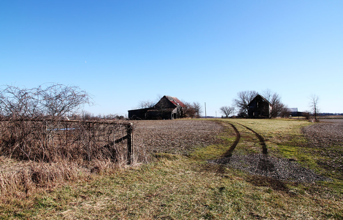
Hopkins Farm - Irwin, OH

Union County OH 03/05/2011

Abandoned House - Marysville, OH

Mammatus over the fairgrounds

Monarch in Flight

Train art. Parked across from my office window, can't help looking at it all day. Had to snap a shot on my way out.
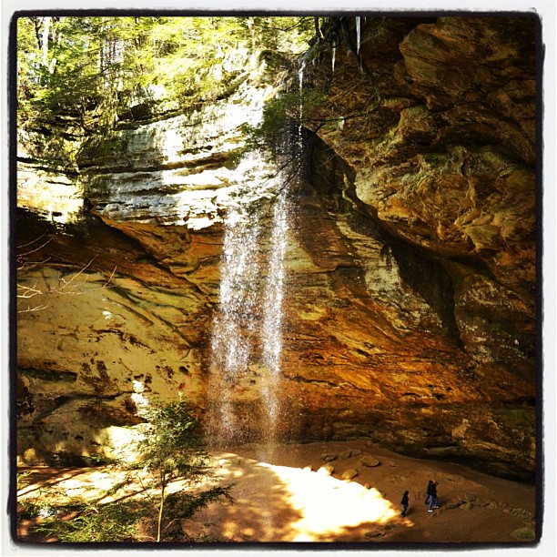
The Ash Cave

70 degrees and no humidity! (Almost) every window in the house is open. Hopefully it stays this way through the weekend

Good Morning

Ohio Dawn

Bigelow Cemetery

The World's Color Wheel

Our last Ohio sunset for a while. One last snugglely evening with the grands and then we head back to Texas. Well, unless we get snowed in!
From the Shade

Rural Intersection

Early Adopter

All Ohio Balloon Fest 2009

DSC_9251.jpg
Hot Summer Day

Streng Road Bridge over Big Darby Creek Ohio

2011 Bigelow Cemetery
Treacle Creek
Topographic Map of Buck Run Rd, Milford Center, OH, USA
Find elevation by address:

Places near Buck Run Rd, Milford Center, OH, USA:
14747 Maple Ridge Rd
Allen Township
23575 Holycross-epps Rd
11 W State St, Milford Center, OH, USA
Milford Center
514 Restoration Dr
Union Township
244 N Maple St
435 N Maple St
940 London Ave
Marysville
475 Mill St
Taylor Ave, Marysville, OH, USA
Irwin
OH-, Irwin, OH, USA
218 Buerger St
Buerger St, Marysville, OH, USA
Darby Township
Rosedale-Milford Center Rd, Irwin, OH, USA
Wayne Township
Recent Searches:
- Elevation of Corso Fratelli Cairoli, 35, Macerata MC, Italy
- Elevation of Tallevast Rd, Sarasota, FL, USA
- Elevation of 4th St E, Sonoma, CA, USA
- Elevation of Black Hollow Rd, Pennsdale, PA, USA
- Elevation of Oakland Ave, Williamsport, PA, USA
- Elevation of Pedrógão Grande, Portugal
- Elevation of Klee Dr, Martinsburg, WV, USA
- Elevation of Via Roma, Pieranica CR, Italy
- Elevation of Tavkvetili Mountain, Georgia
- Elevation of Hartfords Bluff Cir, Mt Pleasant, SC, USA